
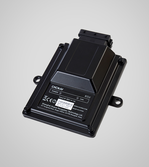
CHCNAV
IC100
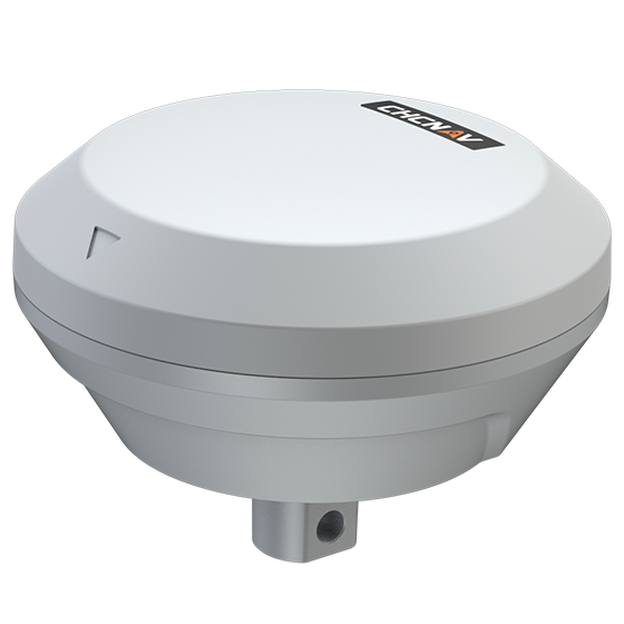
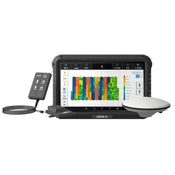
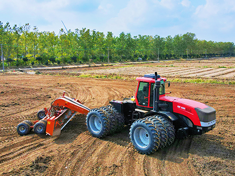
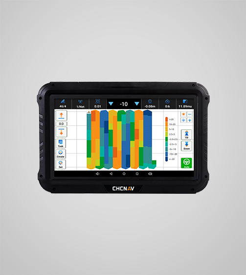
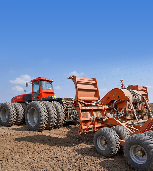
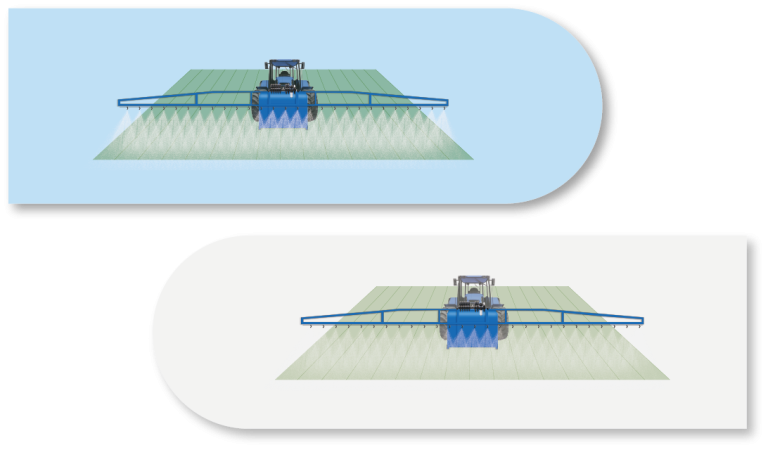
The IC100 is an advanced land leveling system integrating GNSS RTK technology and electro-hydraulic controls to automate the land leveling process. By monitoring elevation changes in real time, the system automatically adjusts the position of blades or scrapers, ensuring precise leveling.
- ±2 cm
- Precision max.
- 4G LTE
- Cellular
Original CHCNAV unit·Authorized distributor
Overview
About the IC100
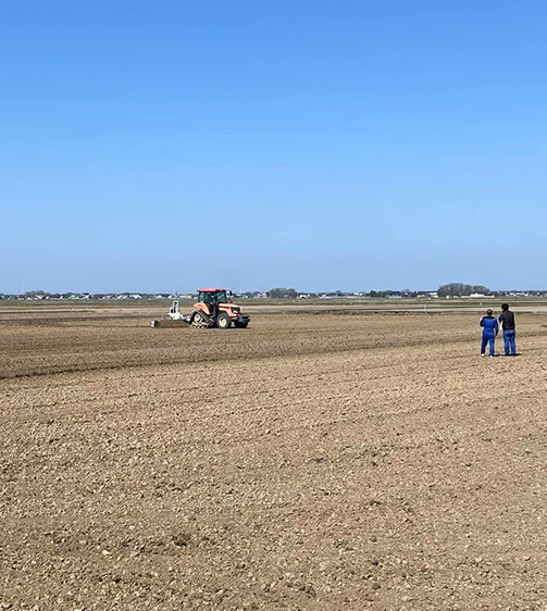
The IC100 is an advanced land leveling system integrating GNSS RTK technology and electro-hydraulic controls to automate the land leveling process. By monitoring elevation changes in real time, the system automatically adjusts the position of blades or scrapers, ensuring precise leveling. This enhances irrigation efficiency and provides significant value to farmers by optimizing their farming practices.
Specifications
Technical data
Values from the CHCNAV datasheet. Ask us for the full sheet or a side by side with another model.
Download datasheet (PDF)Positioning
- GNSS
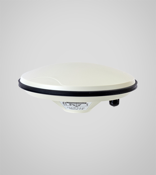
- Full GNSS
- Precision max.
- ±2 cm
Components
- Display
- 10.1", Android
- Guidance control
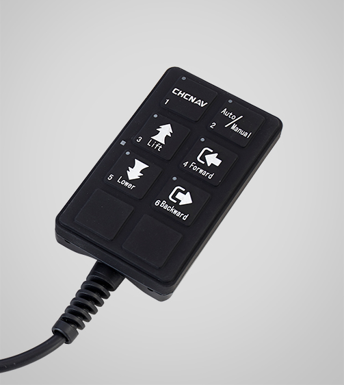
- Remote
Connectivity
- Wireless
- Wi-Fi, Bluetooth
- Cellular
- 4G LTE
- Ports
- CAN, PWN, RS232
Downloads
Datasheets and manuals
Free PDFs for the IC100. Need a manual in another language? Ask us and we will send it.
- IC100 datasheetEN · PDF · 1.4 MB EN Download
Related
All precision agricultureView all
Similar precision agriculture
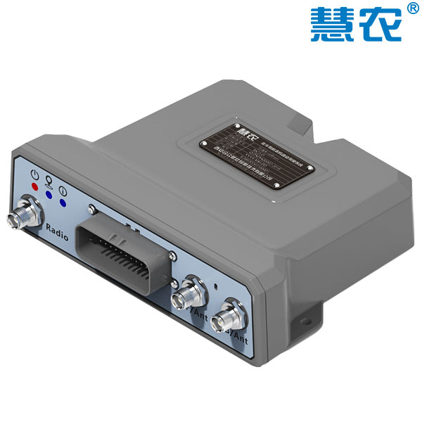
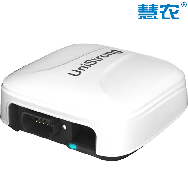
UniStrong
MC3/MC3-PRO
Assisted auto-steering device based on BeiDou satellite positioning technology, designed to achieve automatic direction…
- Positioning Accuracy
- DGPS / 30cm
- Heading Accuracy
- < 0.08° RMS @1.0M
- Timing (1PPS) Accuracy
- 20ns
Get a quote
Get a quote for IC100
Tell us how many units and where they ship. An engineer replies with price, lead time and freight within 24 hours.
- Reply within 24 hours
- Original units with serial numbers
- Local coordinate system preset
Reply within 24 h · Original units · Local datum preset