
KOLIDA
K30 (end of life)
Improving never stops!
Original KOLIDA unit·Authorized distributor
Overview
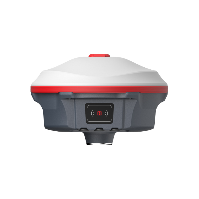
About the K30
- 01
Up to 25 hours Working Endurance
- 02
1598 Channels All Constellation Signal Tracking
- 03
Up to 40 km Internet RTK Working Range
- 04
L-band Powered by BDS B2b
More Channels
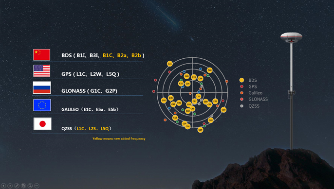
are Available The integrated advanced 1598-channel GNSS technology helps K30 to collect signal from GPS, Glonass, Beidou, Galileo, QZSS, in particular the latest BeiDou III. It greatly improved the data quality and satellite signal capturing speed of GNSS surveying.
More Freedom
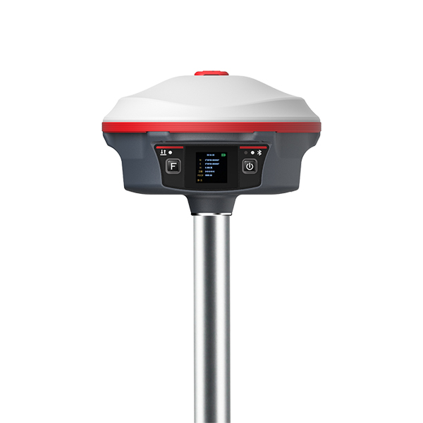
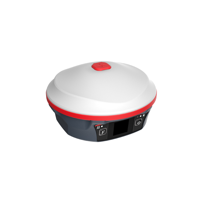
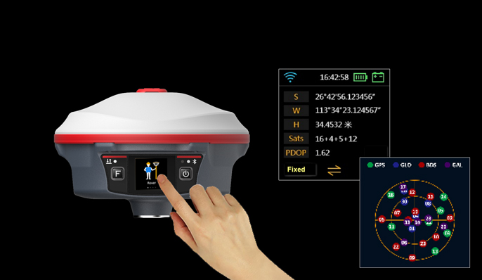
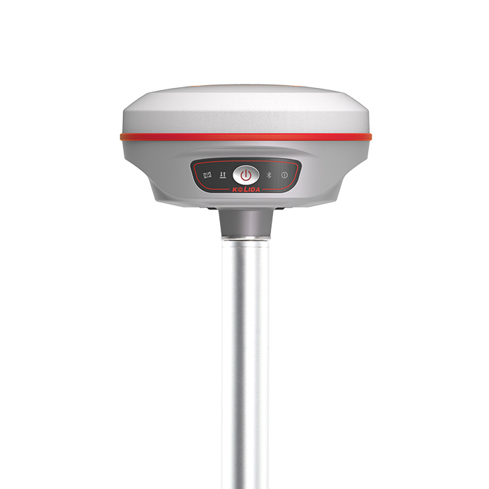
to Operate K30 has a colorful touch screen, users are able to operate GNSS receiver like their smart phone. Using both of touch screen and key buttons will make your workflow easier and faster.
Down to 4-10 cm
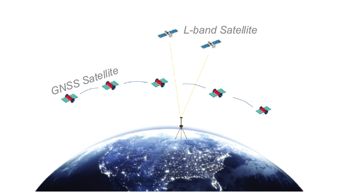
Positioning by L-band Thanks to the newly developed BDS correction service, K30 is able to receive B2b signal via L-band, and perform a single point positioning precisely without base station. It is a great help to surveyors who work in particularly difficult areas. This service is available in 2022 in Asian-Pacific region.
Constantly Upgraded
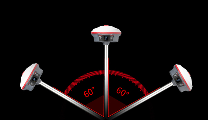
Inertial Measurement KOLIDA’s 3rd generation inertial sensor and algorithm are onboard now. The working speed and stability have been improved for 30% from the last version. When the GNSS fixed solution is lost and recovered again, Inertial sensor can remain the working status in a few seconds, no need to spend time to reactivate it... Tilt angle is up to 60 degrees, accuracy is down to 2-3cm (when tilt angle is within 30°), 5cm (tilt angle within 60°)
Specifications
Technical data
Values from the KOLIDA datasheet. Ask us for the full sheet or a side by side with another model.
Download datasheet (PDF)Satellite Tracking Ability
- Channels 1598 channels
- Constellation GPS, GLONASS, BEIDOU, GALILEO, QZSS , SBAS / L-Band B2b, available to work in Asia-pacific region
- Positioning Output Rate 1-20 HZ
- Initialization Time 2-8 s
Positioning Precision
- Static and Fast-Static Horizontal ±2.5mm +0.5 ppm Vertical ±5mm +0.5 ppm
- Network RTK Horizontal ±8mm +0.5 ppm Vertical ±15mm +0.5 ppm / RTK Initial time 2-8s
User Interaction
- Operation System Linux
- Screen Display 1.3 inches color touch screen / wifi Yes
- Voice Guide yes, 8 language
- Data Storage 16 GB internal, 64 GB external / Web UI Yes
Working Capability
- Radio Not-Available
- Tilt Survey Inertial Measurement / Electronic Bubble Yes
- Endurance up to 25-30 hours (static mode), up to 20-27 hours (rover mode), up to 10 -14 hours (base mode)
- OTG (Field Download) yes
Satellite Tracking Ability
- Channels 1598 channels
- Constellation GPS, GLONASS, BEIDOU, GALILEO, QZSS , SBAS / L-Band B2b, available to work in Asia-pacific region
- Positioning Output Rate 1-20 HZ
- Initialization Time 2-8 s
Positioning Precision
- Static and Fast-Static Horizontal ±2.5mm +0.5 ppm Vertical ±5mm +0.5 ppm
- Network RTK Horizontal ±8mm +0.5 ppm Vertical ±15mm +0.5 ppm / RTK Initial time 2-8s
User Interaction
- Operation System Linux
- Screen Display 1.3 inches color touch screen / wifi Yes
- Voice Guide yes, 8 language
- Data Storage 16 GB internal, 64 GB external / Web UI Yes
Working Capability
- Radio Not-Available
- Tilt Survey Inertial Measurement / Electronic Bubble Yes
- Endurance up to 25-30 hours (static mode), up to 20-27 hours (rover mode), up to 10 -14 hours (base mode)
- OTG (Field Download) yes
Downloads
Datasheets and manuals
Free PDFs for the K30. Need a manual in another language? Ask us and we will send it.
- Kolida K30 GNSS Net.pdfEN · PDF · 3.1 MB EN Download
Get a quote
Get a quote for K30
Tell us how many units and where they ship. An engineer replies with price, lead time and freight within 24 hours.
- Reply within 24 hours
- Original units with serial numbers
- Local coordinate system preset
Reply within 24 h · Original units · Local datum preset