
KOLIDA
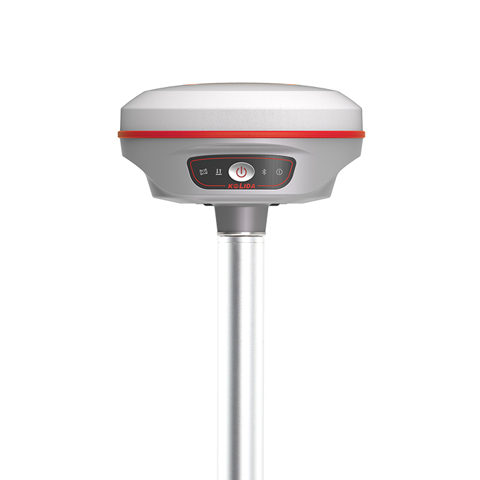
K50X / K50
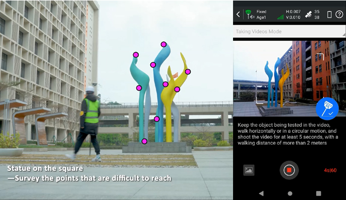
Features State-of-art Photogrammetry technology: Visual Positioning, Visual Stakeout, 3D Modeling..
Original KOLIDA unit·Authorized distributor
Overview
About the K50X
- 01
Visual Positioning & Stakeout & 3D Modeling
- 02
1698 Channels All Constellation Signal Tracking
- 03
Farlink 2.0 in-built Radio
- 04
Ultra Rugged Robustness
The Brand New
GNSS Engine: S805 The S805 GNSS chip features new chip design and dual-engine algorithm, which is able to eliminate the false-fixed solution status and make compensation to the error by ionospheric delay, to improve the reliability of measurement result and working efficiency in harsh environment.
Data Collection,
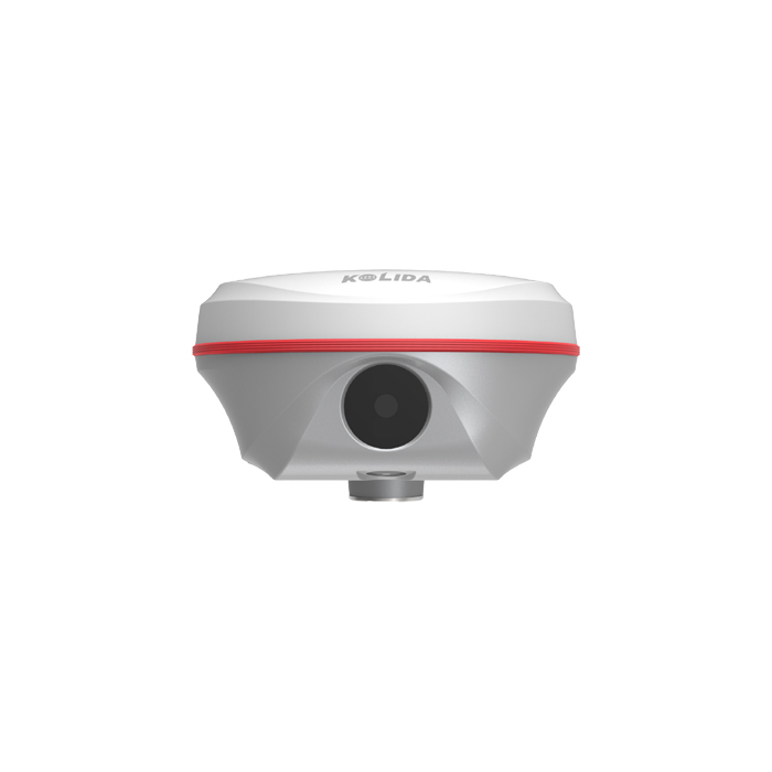
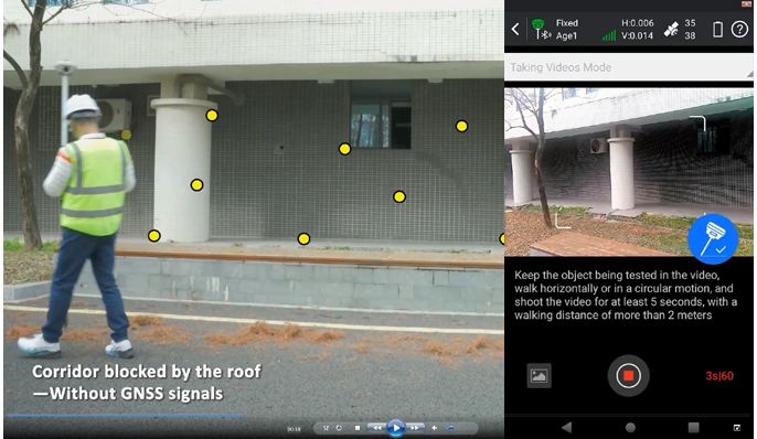
By Shooting Video or Phot o With Kolida's advanced photogrammetry technology, K50 user can easily acquiring coordinates for hundreds of points within minutes, by using the front camera to shoot a video or some photos. (this function is optional with K50X) See the example video from https://youtu.be/Q2AZh6aWj6s
Stakeout,
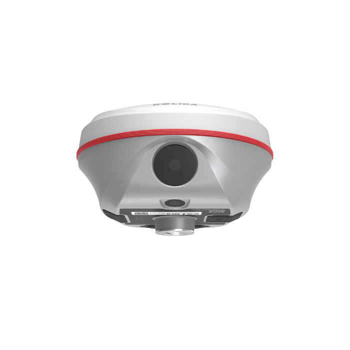
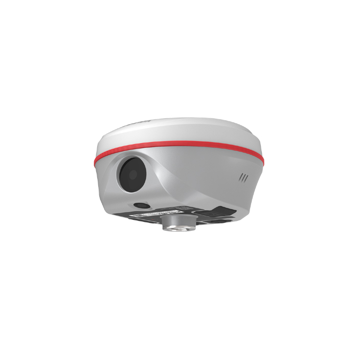
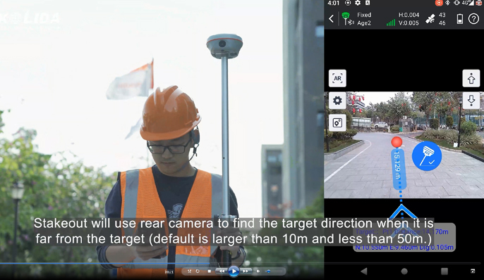
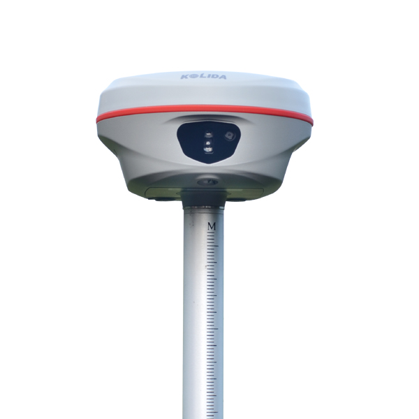
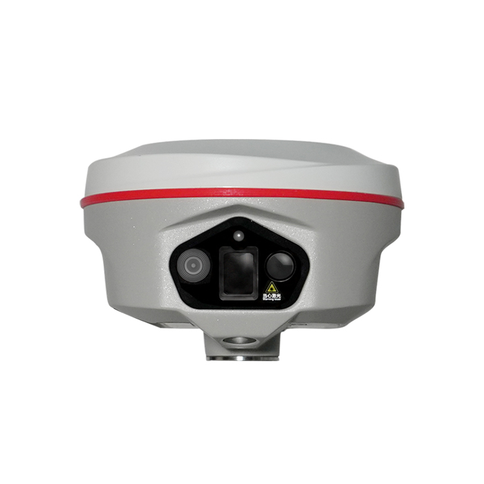
with Dual-Camera When surveyor is performing stakeout with K50X, the Ksurvey App will call upon both front and bottom camera to capture the real-time imagery and display AR guide lines to help. The job can be done faster, more accurate, more intelligent. Watch video at https://youtu.be/M-vjnyzKseM
3D Modeling,
The New Value Added Surveyors can use K50 to capture photoes of the objectives and process out 3D model. The data output can be used with the 3rd party designing software, also can be combined with Drone (UAV) data, such as DJI and other brands. (this function is optional wth K50X)
Specifications
Technical data
Values from the KOLIDA datasheet. Ask us for the full sheet or a side by side with another model.
Download datasheet (PDF)Satellite Tracking Ability
- Channels 1698 channels
- Constellation GPS, GLONASS, BEIDOU, GALILEO, QZSS , SBAS / L-Band Galileo HAS and BDS PPP
- Positioning Output Rate 1-20 HZ
- Initialization Time 2-8 s
Positioning Precision
- UHF RTK Horizontal ±8mm +1 ppm Vertical ±15mm +1 ppm
- Network RTK Horizontal ±8mm +0.5 ppm Vertical ±15mm +0.5 ppm
- Static and Fast-Static Horizontal ±2.5mm +0.5 ppm Vertical ±5mm +0.5 ppm
- RTK Initial time 2-8s
User Interaction
- Operation System Linux
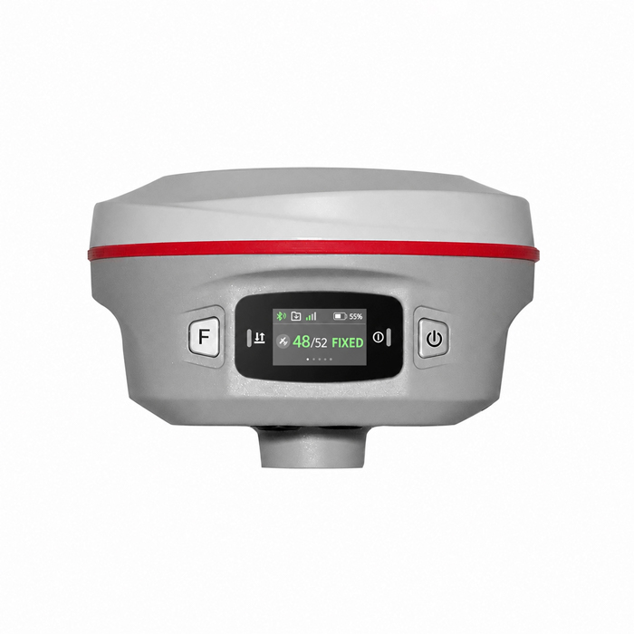
- Screen Display Not Available / wifi Yes
- Voice Guide yes, 8 language
- Data Storage 16 GB internal, 64 GB external / Web UI Yes
Working Capability
- Visual Stakeout with AR Uses Dual-Camera to stakeout pts, lines, CAD
- Visual Positioning (Optional) Shooting photo or video to measure coordinate / 3D Modeling (Optional) Process by Post-processing software
- Radio Built-in transmitting and receiving, 1/2 W
- Tilt Survey Inertial Measurement / Electronic Bubble Yes
- Endurance up to 16 hours (static mode), up to 12 hours (rover mode), up to 10 hours (UHF base mode)
- OTG (Field Download) yes
Satellite Tracking Ability
- Channels 1698 channels
- Constellation GPS, GLONASS, BEIDOU, GALILEO, QZSS , SBAS / L-Band Galileo HAS and BDS PPP
- Positioning Output Rate 1-20 HZ
- Initialization Time 2-8 s
Positioning Precision
- UHF RTK Horizontal ±8mm +1 ppm Vertical ±15mm +1 ppm
- Network RTK Horizontal ±8mm +0.5 ppm Vertical ±15mm +0.5 ppm
- Static and Fast-Static Horizontal ±2.5mm +0.5 ppm Vertical ±5mm +0.5 ppm
- RTK Initial time 2-8s
User Interaction
- Operation System Linux
- Screen Display Not Available / wifi Yes
- Voice Guide yes, 8 language
- Data Storage 16 GB internal, 64 GB external / Web UI Yes
Working Capability
- Visual Stakeout with AR Uses Dual-Camera to stakeout pts, lines, CAD
- Visual Positioning (Optional) Shooting photo or video to measure coordinate / 3D Modeling (Optional) Process by Post-processing software
- Radio Built-in transmitting and receiving, 1/2 W
- Tilt Survey Inertial Measurement / Electronic Bubble Yes
- Endurance up to 16 hours (static mode), up to 12 hours (rover mode), up to 10 hours (UHF base mode)
- OTG (Field Download) yes
Related
All GNSS RTK receiversView all
Similar GNSS RTK receivers
Get a quote
Get a quote for K50X
Tell us how many units and where they ship. An engineer replies with price, lead time and freight within 24 hours.
- Reply within 24 hours
- Original units with serial numbers
- Local coordinate system preset
Reply within 24 h · Original units · Local datum preset