
UniStrong
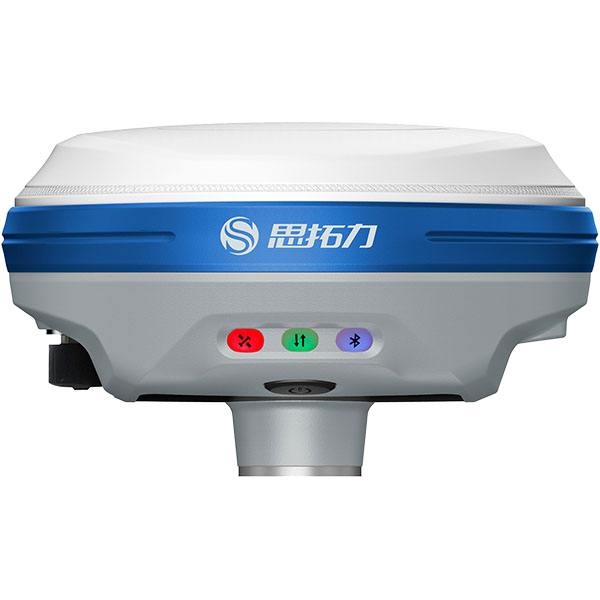
S20 Visual Surveying RTK Receiver
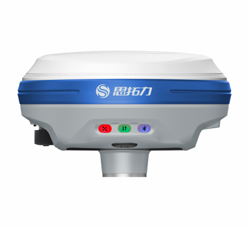
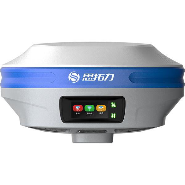
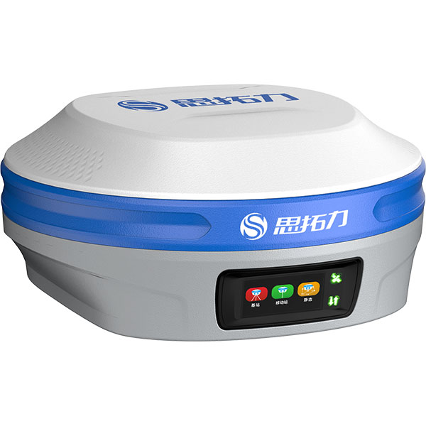
The S20 is a full-featured GNSS receiver integrating IMU tilt compensation, video, and surveying RTK. Equipped with a high-performance, high-precision satellite positioning OEM board, it supports full-constellation, multi-frequency GNSS signal processing.
- 400Hz
- IMU Update Rate
- 2MP
- Resolution
- 2 - 4 cm
- Measurement Accuracy
Original UniStrong unit·Authorized distributor
Overview
About the S20
The S20 is a full-featured GNSS receiver integrating IMU tilt compensation, video, and surveying RTK. Equipped with a high-performance, high-precision satellite positioning OEM board, it supports full-constellation, multi-frequency GNSS signal processing. It features narrowband anti-jamming technology and automatic ionospheric optimization to meet surveying demands in complex environments. Combining RTK with imaging, it delivers one-step visual live-view stakeout. The newly added visual measurement function effectively extends point coordinate acquisition and expands the working range. Pre-installed with fourth-generation IMU tilt compensation technology, it allows immediate measurement without leveling, enabling effortless stakeout on the go.
S20 Visual Surveying RTK Receiver
The S20 is a full-featured GNSS receiver integrating IMU tilt compensation, video, and surveying RTK. Equipped with a high-performance, high-precision GNSS OEM board, it supports full-constellation, full-frequency GNSS signal processing. It features narrowband anti-interference technology and automatic ionospheric optimization to meet surveying demands in complex environments. Combining RTK with imagery enables real-scene stakeout in a single step. The newly added video measurement function effectively extends point coordinates and expands the operating range. Pre-installed with 4th-generation IMU tilt compensation technology, it allows measurement immediately upon leveling and enables walking stakeout.
Full-Constellation, Full-Frequency Tracking & Fast Lock
Equipped with a high-performance, high-precision GNSS SoC chip to ensure signal reception quality, it simultaneously tracks all-constellation, all-frequency signals from BeiDou, GPS, GLONASS, Galileo, and QZSS, enabling rapid acquisition, tracking, and processing of GNSS satellite signals.
Real-Scene Stakeout in One Step
The fusion algorithm of GNSS + IMU + vision significantly reduces the impact of electromagnetic interference for precise stakeout. Combining RTK with imagery visually marks the stakeout point on the screen for fast finding in a single step. Dual-AR imagery on both the data controller and receiver supports intelligent guidance throughout the entire stakeout workflow, doubling field efficiency.
Video Measurement Extends Operating Range
After the RTK collects base point coordinates, points can be effectively projected even when physical obstacles cannot be crossed, expanding the operating range. Application scenarios include: Inaccessible Locations ● Areas with poor GNSS signals, such as under eaves, building corners, and dense tree canopies; ● Enclosed target points where entry is prohibited; ● Specific areas or building interiors where UAV aerial survey angles are restricted. Time-Critical Locations ● Landslide remediation and maintenance for highways and buildings where geographic data must be delivered quickly; ● Traffic accident scenes and public safety emergencies where the scene cannot remain blocked for long and rapid measurement is required, making conventional RTK impractical; ● Rapid 3D modeling of isolated structures. Difficult-to-Reach Locations ● Points hard to access directly due to fences, low walls, guard dogs, ditches, or other hazardous obstacles; ● Road centers with heavy traffic where conventional RTK is hazardous or difficult to deploy; ● Positions difficult to reach with conventional RTK or total stations, such as points on walls, window corners, and roofs.
Featuring Stonex 4th-generation IMU tilt compensation technology, it is immune to magnetic interference and requires no leveling bubble centering. Measure immediately upon tilting to achieve walking stakeout while ensuring reliable measurement accuracy.
Specifications
Technical data
Values from the UniStrong datasheet. Ask us for the full sheet or a side by side with another model.
GNSS Performance
- Tracking
- BDS: B1I, B2I, B3I, B1C, B2a, B2b, BDSBAS-B1C, BDSBAS-B2a
- Tracking
- GPS: L1C/A, L1C, L2P(Y), L2C, L5
- Tracking
- GLONASS: G1, G2, G3
- Tracking
- Galileo: E1, E5a, E5b, E6
- Tracking
- QZSS: L1, L2, L5
- Tracking
- Supports mainstream SBAS systems including WAAS, EGNOS, GAGAN, MSAS, SDCM, BDSBAS; supports BDS PPP and Galileo HAS services, etc.
- RTK Keep / Bridging
- Supported
Accuracy Specifications
- Static Surveying
- Horizontal: ±(2.5+0.5×10 -6 D) mm, Vertical: ±(5+0.5×10 -6 D) mm
- RTK Surveying
- Horizontal: ±(8+1×10 -6 D) mm, Vertical: ±(15+1×10 -6 D) mm
IMU Tilt Compensation
- Compensation Accuracy
- 8mm + 0.3mm/° tilt (<2cm accuracy within 30°)
- Tilt Angle
- 0 ~ 60°
- IMU Update Rate
- 400Hz
Stakeout Camera
- Resolution
- 2MP
- FOV
- 72°
Surveying Camera
- Resolution
- 2MP
- FOV
- 72°
- Frame Rate
- 30 fps
Visual Surveying
- Measurement Accuracy
- 2 - 4 cm
- Measurement Range
- 2 - 15 m
All-Band UHF Radio
- Protocols
- Supports full protocols: TrimTalk450S, TrimTalk(4800), TrimMarkIII, South(9600/19200), Satel, Satel_ADL, HI-TARGET(9600/19200), HZSZ, GEOTALK, GEOMARK, PCCFST, PCCFST_ADL, PCC-GMSK, PCC-4FSK
- Frequency
- 410 ~ 470 MHz switchable
- Channels
- 7+2400 (7 fixed channels + 2400 custom channels)
System Platform
- Operating System
- Industrial-grade Linux OS
- Internal Storage
- Onboard 8GB ROM
- Bluetooth
- Bluetooth 5.0, backward compatible with BLE
- Wi-Fi
- 802.11 a/ac/b/g/n
Data Interfaces
- TNC Interface
- Connects to internal UHF radio antenna
- Type-C
- For direct charging and data transmission
Environmental Specifications
- Operating Temperature
- -30℃ ~ 65℃
- Storage Temperature
- -40℃ ~ 80℃
- Ingress Protection
- IP67
- Drop Resistance
- Withstands 2m pole drop onto hardwood floor at ambient temperature; 1.2m free fall
- Humidity
- 100% non-condensing
Electrical Specifications
- Battery
- Built-in battery, 3.6V, 13.6Ah, 48.96Wh, supports PD fast charging
- Operating Time
- 16h
Physical Specifications
- Button
- 1 multi-function power button
- LED Indicators
- Satellite indicator, datalink indicator, battery indicator
- Display
- 1.1-inch AMOLED display, 294×126 resolution
- Dimensions
- 134mm×72mm
- Weight
- Approx. 897g
- Material
- Magnesium alloy housing
Related
All GNSS RTK receiversView all
Similar GNSS RTK receivers
Get a quote
Get a quote for S20
Tell us how many units and where they ship. An engineer replies with price, lead time and freight within 24 hours.
- Reply within 24 hours
- Original units with serial numbers
- Local coordinate system preset
Reply within 24 h · Original units · Local datum preset