

KOLIDA
V1 GNSS RTK Receiver
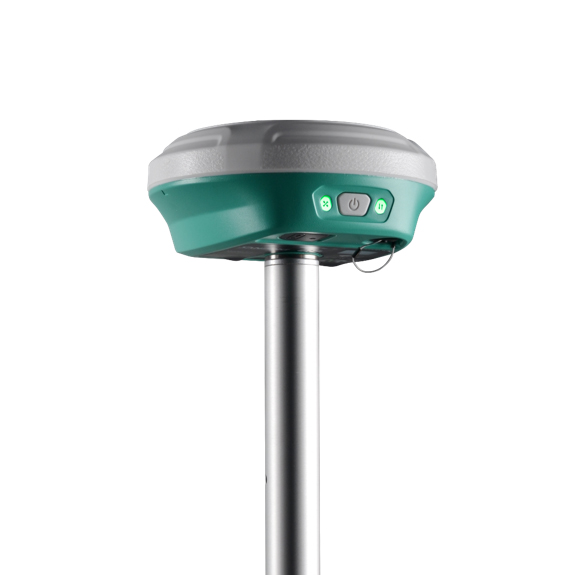
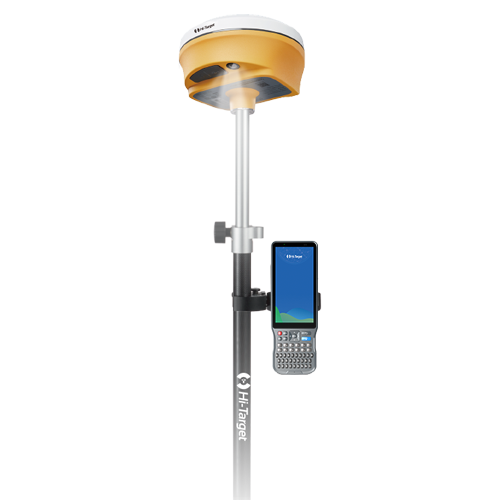
V1 is one of the most cost-effective and easy-to-use visual stakeout RTK in industry, features Dual Camera AR Stakeout.
Original KOLIDA unit·Authorized distributor
Overview
About the V1
- 01
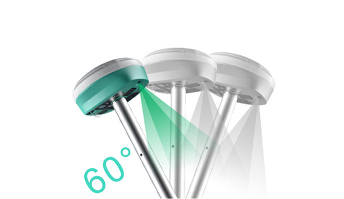
IMU 2cm/ 60° Tilt Survey Technology
- 02
1808 Channels All Constellation Signal Tracking
- 03
8 km Typical Built-in UHF Radio Working Range
- 04
Innovations 10 New Programs
More Advanced
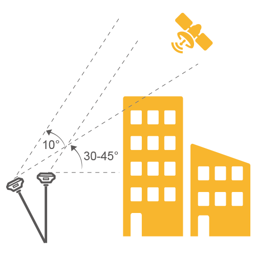
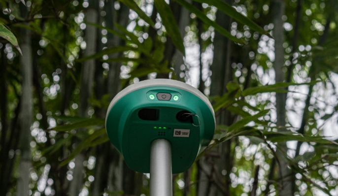
GNSS Algorithm Empowered by the Polestar Algorithm, V1 can track enormous signals of all constellations with stunningly fast fixing speed even under the thick cover of trees or beside tall buildings. Coordinates will be examined twice to ensure the utmost accuracy.
Live-view &
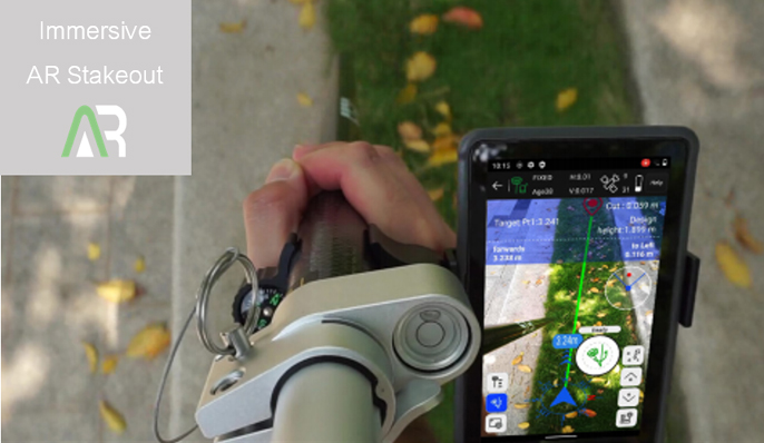
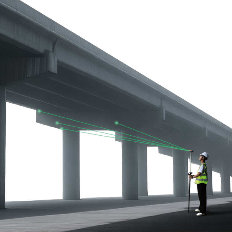
AR for Stakeout V1 allows you to implement immersive AR stakeout in any working environment. It is suitable for both non-experienced surveyor and expert to follow the visual guide to find the targets with data controller camera (for direction) and the 2MP camera on receiver (for precise positioning), provides up to 50% more efficiency.
User-friendly Design
V1 enable user to create an Ultra Fast Connection between Controller and Receiver. There is a function "Radio Signal Strength Check” to compare signal quality of each radio channel and choose the most suitable one before working. The feature "Multiple Protocols Compatibility”is to support SATEL and other mainstream radio protocols.
One of the Best
IMU in Industry Traditionally, surveyors encountered issues with IMU usability when rotating the pole during changing walking direction or adjusting the receiver attitude. V1 IMU effectively eliminates the loss of IMU status in most scenarios, enhancing IMU availability and productivity. During AR stakeout, you can walk at your own pace without worrying about losing IMU, making workflow smooth.
Specifications
Technical data
Values from the KOLIDA datasheet. Ask us for the full sheet or a side by side with another model.
Download datasheet (PDF)Satellite Tracking Ability
- Channels 1808
- Constellation GPS, GLONASS, BEIDOU, GALILEO, SBAS, QZSS / MSS L-Band B2b ppp for Asian-Pacific Area
- Positioning Output Rate 1Hz-20Hz
- Initialization Time <10s
Positioning Precision
- UHF RTK Horizontal ±8mm + 1 ppm Vertical ±15mm + 1ppm
- Network RTK Horizontal ±8mm + 0.5ppm Vertical ±15mm+0.5ppm / RTX Horizontal N/A Vertical N/A
- Static and Fast Static Horizontal ±2.5mm + 0.5ppm Vertical ±5mm + 0.5ppm
- RTK Initialization Time 2-8s
User Interaction
- Operation System Linux
- Screen Display N/A / Wifi Yes
- Voice Guide Yes
- Data Storage 8GB internal; / Web UI Yes
Working Capability
- Built-in Radio Emitting and receiving. Typical working range 7-8km, in good environment 10-12km.
- Tilt Survey Inertial Measurement / Electronic Bubble Yes
- Endurance up to 30 hours (static mode), >7 hours (internal UHF base mode), up to 23 hours (rover mode)
- OTG Function (Field Download) yes / Other Function ...
Satellite Tracking Ability
- Channels 1808
- Constellation GPS, GLONASS, BEIDOU, GALILEO, SBAS, QZSS / MSS L-Band B2b ppp for Asian-Pacific Area
- Positioning Output Rate 1Hz-20Hz
- Initialization Time <10s
Positioning Precision
- UHF RTK Horizontal ±8mm + 1 ppm Vertical ±15mm + 1ppm
- Network RTK Horizontal ±8mm + 0.5ppm Vertical ±15mm+0.5ppm / RTX Horizontal N/A Vertical N/A
- Static and Fast Static Horizontal ±2.5mm + 0.5ppm Vertical ±5mm + 0.5ppm
- RTK Initialization Time 2-8s
User Interaction
- Operation System Linux
- Screen Display N/A / Wifi Yes
- Voice Guide Yes
- Data Storage 8GB internal; / Web UI Yes
Working Capability
- Built-in Radio Emitting and receiving. Typical working range 7-8km, in good environment 10-12km.
- Tilt Survey Inertial Measurement / Electronic Bubble Yes
- Endurance up to 30 hours (static mode), >7 hours (internal UHF base mode), up to 23 hours (rover mode)
- OTG Function (Field Download) yes / Other Function ...
Downloads
Datasheets and manuals
Free PDFs for the V1. Need a manual in another language? Ask us and we will send it.
- V1 Data Sheet 202406 Kolida.pdfEN · PDF · 1.3 MB EN Download
Related
All GNSS RTK receiversView all
Similar GNSS RTK receivers
Get a quote
Get a quote for V1
Tell us how many units and where they ship. An engineer replies with price, lead time and freight within 24 hours.
- Reply within 24 hours
- Original units with serial numbers
- Local coordinate system preset
Reply within 24 h · Original units · Local datum preset