
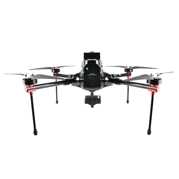
- Max. Service Ceiling
- 4000 m ASL
- Working Height
- typical 60-1000 m
- Cruising Speed
- max. 12 m/s
Authorized distributor of original survey instruments·Dispatch in 3 to 7 working days·DDP / CIF / FOB
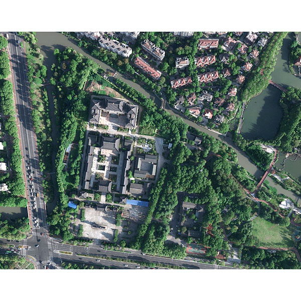
Jiangsu Jinwei Remote Sensing Data Engineering Co., Ltd. is a professional company engaged in surveying and mapping aerial photogrammetry, providing customized services including 2-50 cm resolution aerial imagery data, 2-10 cm resolution oblique imagery data, 0.25-100 points/m² LiDAR point cloud data, and synthetic aperture radar…
Original UniStrong unit·Authorized distributor
Jiangsu Jinwei Remote Sensing Data Engineering Co., Ltd. is a specialized enterprise engaged in aerial surveying and photogrammetry. The company provides customized data acquisition services, including 2–50 cm resolution aerial imagery, 2–10 cm resolution oblique imagery, 0.25–100 pts/m² LiDAR point cloud data, and synthetic aperture radar (SAR) data acquisition, tailored to client requirements.
An aerial photography technology that captures the entire image frame simultaneously at the moment of exposure.
A surveying technique that mounts multiple sensors on a single flight platform to simultaneously acquire imagery from both nadir (vertical) and multiple oblique angles.
A technology that utilizes an airborne light detection and ranging system mounted on an aircraft to measure the 3D coordinates of ground features.
A technology that utilizes high-resolution microwave imaging radar mounted on an aircraft platform. Relying on relative motion between the radar platform and the target, it periodically transmits and receives microwave pulses during flight and processes the returned echo signals to reconstruct backscatter imagery of the illuminated area, ultimately acquiring comprehensive spatial data of the target region.
Values from the UniStrong datasheet. Ask us for the full sheet or a side by side with another model.
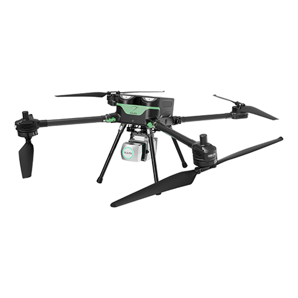
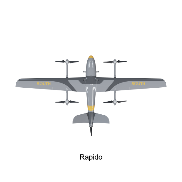
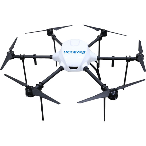
Tell us how many units and where they ship. An engineer replies with price, lead time and freight within 24 hours.
Reply within 24 h · Original units · Local datum preset