
Hi-Target
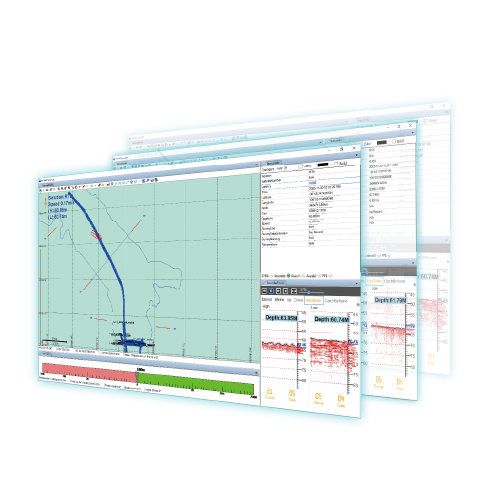
HD-MAX Ⅱ Hydrographic Solution
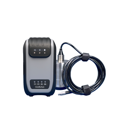
HD-MAX Ⅱ Hydrographic Solution HD-MAX Ⅱ dual-frequency echo sounder redefines underwater surveying. Its enhanced…
- Depth Range
- 1~ 2000m @24kHz
- Storage
- 128GB + 1TB SSD
Authorized distributor of original survey instruments·Dispatch in 3 to 7 working days·DDP / CIF / FOB
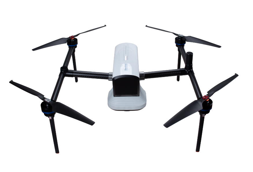
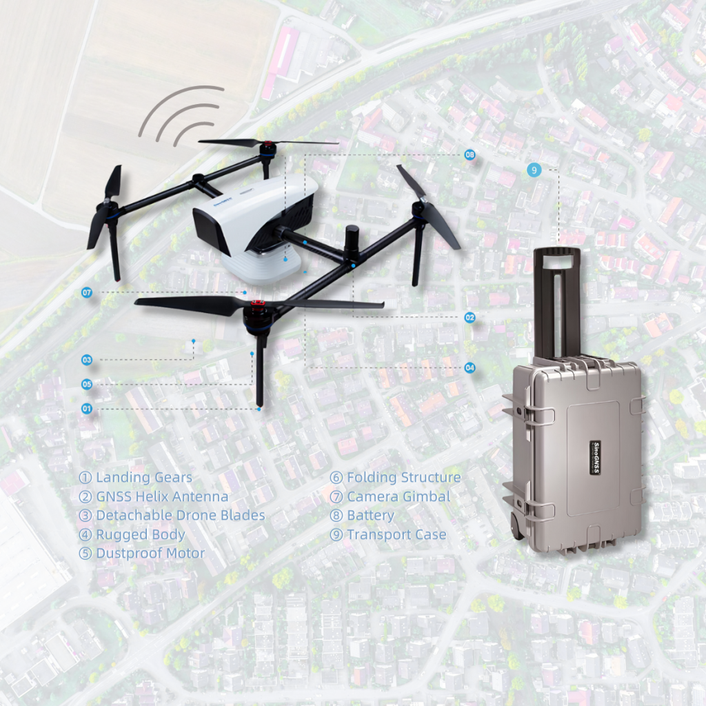
Based on K8 platform, ComNav released a powerful and reliable UAV solution capable for photo position at centimeter level, providing high-precision results for the users. Featuring with high accuracy, strong compatibility, and long endurance, it can meet the requirements of many different applications, including topographic…
Original ComNav unit·Authorized distributor
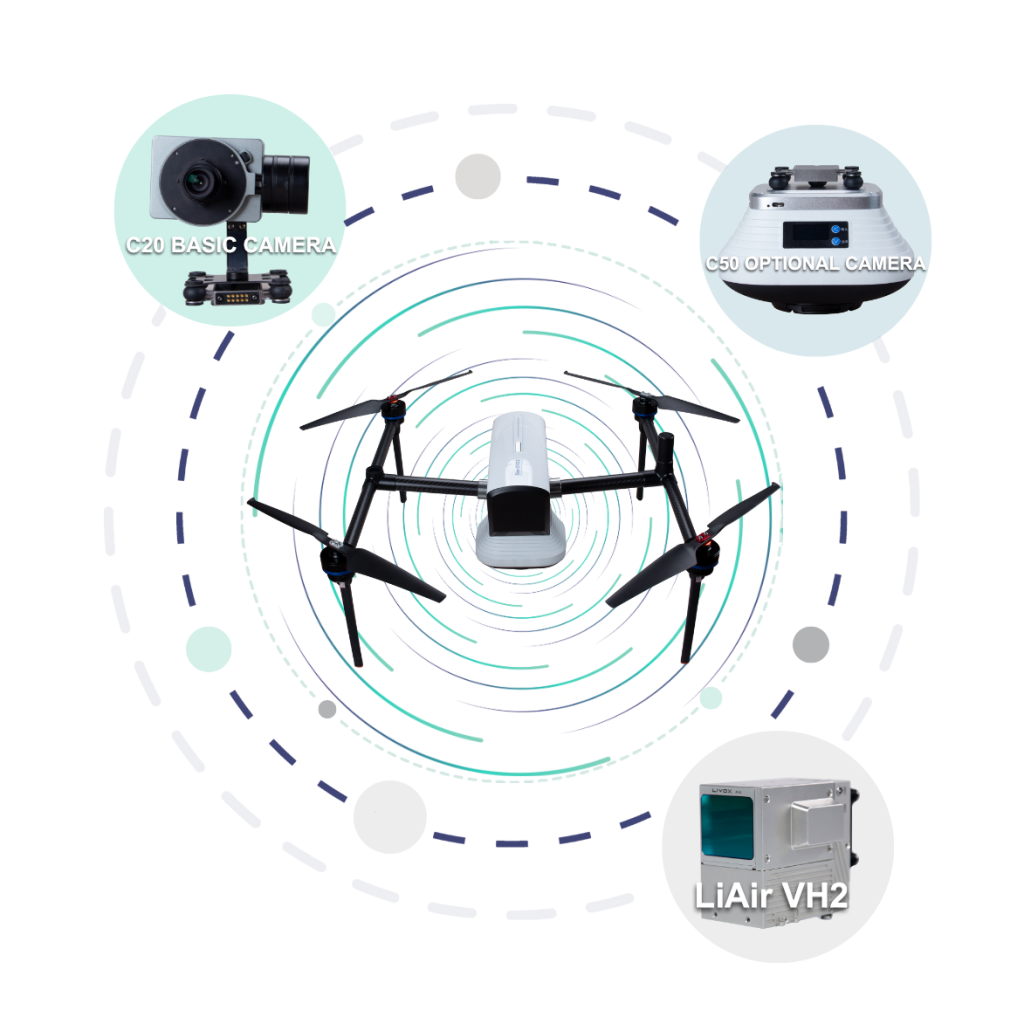
PROFESSIONAL PAYLOAD: Detachable design and multiple payload options for your various purposes
SAFETY & EFFICIENCY: Redundancy design on the key modules ensure the safety. 60min long working time for higher efficiency.
TERRAIN AWARENESS: Based on intelligent recognition algorithms, ensuring the consistency of image resolution.
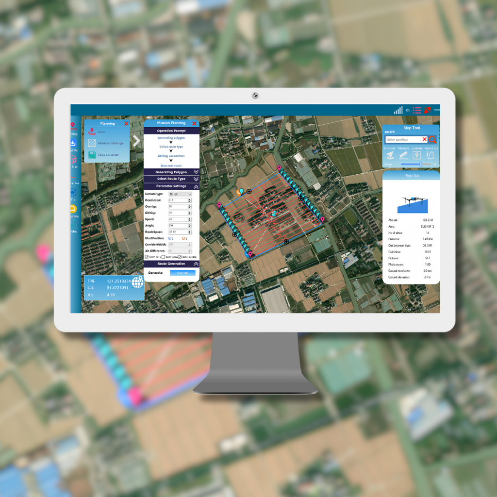
INTELLIGENT ROUTE PLANNING: Support automatic route generation, manual route editing or KML file import.
FREE OF GCPS: Embedded with high precision GNSS module, providing centimeter accuracy without GCPs.
SMART BATTERY DESIGN: Automatic control of dynamic battery charging and discharging, voltage load balancing and prolonging battery life.
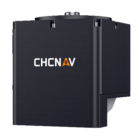
The high precision GNSS K8 module empowered to RTK/PPK technology. On the one side, E300 can provide centimeter-level positioning results without GCPs. On the other side, RTK/PPK are the dual backup, one as a failsafe for another, to ensures the acquisition of data. The in-built antenna offset the correction, thus, further increasing precision of photo position. Meanwhile, EVENT Synchronization Technology can reduce camera trigger error.
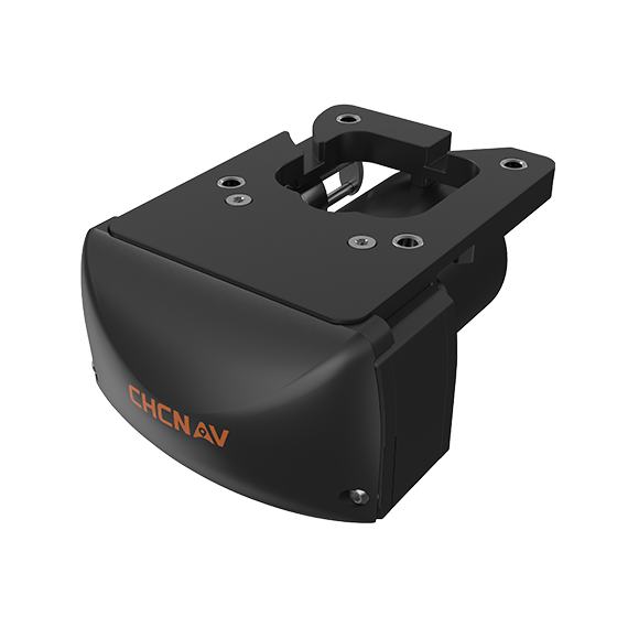
The platform’s payload bay is compatible with a wide range of camaras, including C20, C50 and LiAir VH2 and others. Payloads can be quickly and easily swapped in the field for maximum versatility, which can meet the requirements of different applications.
Partnered flight control software equipped with clear interface, easy workflow, powerful fight control capability, which can completely satisfy the the requirements of high-efficiency, high-quality and high-precision aerial survey operations.
Product video · Official ComNav video
HD-MAX Ⅱ Hydrographic Solution HD-MAX Ⅱ dual-frequency echo sounder redefines underwater surveying. Its enhanced…
Tell us how many units and where they ship. An engineer replies with price, lead time and freight within 24 hours.
Reply within 24 h · Original units · Local datum preset