
ComNav
XT300 High-precision Guidance System
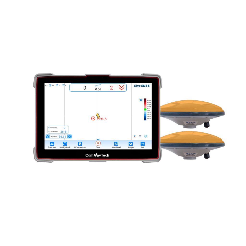
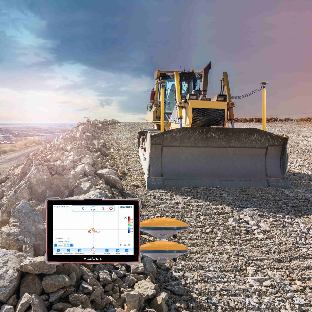
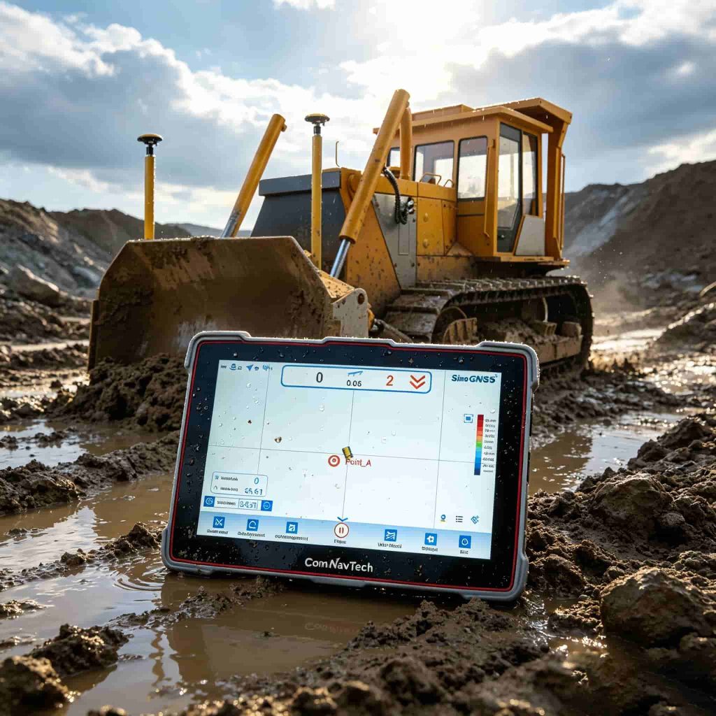
The XT300 High-precision Guidance System is a professional guidance system for bulldozer leveling operationswhich independently developed and produced by ComNav Technology Ltd. The system adopts technologies such as GNSS high-precision positioning and integrated navigation to obtain the vertical and horizontal angle of the blade in…
- 20ns
- Time accuracy
- < 0.02m/s
- Velocity Accuracy
- (0.2/R)°
- Azimuth
Original ComNav unit·Authorized distributor
Overview
About the XT300
The XT300 High-precision Guidance System is a professional guidance system for bulldozer leveling operationswhich independently developed and produced by ComNav Technology Ltd. The system adopts technologies such as GNSS high-precision positioning and integrated navigation to obtain the vertical and horizontal angle of the blade in real time and guide the driver to achieve precise bulldozing. Compared with the traditional operation mode of construction-inspection-rework-acceptance, simultaneous construction and acceptance can be achieved; the operation efficiency is greatly improved, and the operation quality is more guaranteed.
- 01
Efficient and Convenient
- 02
Precise Guidance
- 03
Simple Operation
- 04
High Quality Construction
- 05
Easy To Expand
- 06
High Reliability
Efficient and Convenient
The XT300 supports independent measurement and document design, and can pass acceptance at the same time as construction work is completed, which reduces the invalid operation, shorten the construction period, reduces the cost and increase the benefit.
Precise Guidance
The positioning module supports Beidou/GPS/GLONASS/Galileo signals and adopts integrated navigation algorithm. The vertical precision of the operation can reach ±3cm, which can meet most construction needs.
High Reliability
The industrial grade GNSS tablet with rugged design, excellent seismic performance and IP66 waterproof and dustproof can adapt to a variety of harsh environment.
Specifications
Technical data
Values from the ComNav datasheet. Ask us for the full sheet or a side by side with another model.
Performance
- Signal tracking
- GPS: L1, L2 BDS: B1I, B3I BDS Global: B1C, B2b GLONASS: L1, L2 Galileo: E1, E5b QZSS: L1, L2
- Time accuracy
- 20ns
- RTK
- 8mm+1pmm Horizontal 15mm+1pmm Vertical
- Standalone
- 1.5m Horizontal 3.0m Vertical
- Post processing
- 2.5mm+1ppm 5.0mm+1ppm
- Velocity Accuracy
- < 0.02m/s
- Azimuth
- (0.2/R)°
- Roll or pitch
- (0.4/R)°
Physical
- Size
- 10.1'' touchscreen
- Resolution Rate
- 1280*720
- Brightness
- 500cd/cm 2
- Water-proof and dust-proof
- IP66
- Storage Temperature
- -40°C~85°C
- Humidity
- 100% no condensation
- Shock and vibration
- Designed to meet MIL-STD-810H
- Tablet Size
- 268*182*36mm
- Tablet Weight
- 1022g
- Tablet Indicator light
- 1*power light 2* satellite light 1* data light
- Tablet Panel buttons
- 1*power button 2*Backlight adjustment button 1*function button
- Tablet Audio
- Built-in dual speakers and microphone
- Tablet Camera
- Front 8 million pixels, rear 16 million pixels(optional)
- AT360 Dimension
- Φ147×67.7mm
- AT360 Connector
- TNC Female
- AT360 Weight
- ≤500 g
- AT360 Operating Temperature
- -40 °C to + 70 °C
- AT360 Humidity
- 95% No-condensing
Connection
- Type C port
- 1
- USB port
- 3
- TF card slot
- 1
- Dual-SIM card slot
- 1
- GNSS Antenna port
- 2
- UHF Antenna port
- 1
- 4G antenna port
- 1
- Lemo port(including RS232/RJ45/PPS/EVENT/CAN/USB)
- 3
System
- Operating System
- Android 7.1
- Processor
- QualcommTM octa-core 64-bit ARM Cortex-A53TM processor 2.0GHZ
- RAM
- 2GB(4G is optional)
- ROM
- 16GB eMMC, support external USB storage(64G is optional
- Radio Module
- U70 module, 410-470MHz full band(optional)
- Bluetooth
- Bluetooth 5.0
- Audio
- Built-in dual speakers and microphone
- Camera
- 8 megapixels front camera, 16 megapixels rear camera(optional)
Data Format
- NMEA-0183
- GPRMC, GPVTG, GPZDA etc.
- CNB
- ComNav Binary
- CMR(GPS only)
- CMROBS, CMRREF
- RTCM2.X
- RTCM1, RTCM3, RTCM9, RTCM1819, RTCM31, RTCM41, RTCM42
- RTCM3.X
- 1004-1008, 1012, 1019, 1020, 1033, 1042, 1045/1046, 1230, 4078
- MSM3-MSM7
- 1073-1077, 1083-1087, 1123-1127, 1093-1097
- Data update rate
- Up to 20 Hz
Related
All machine controlView all
Similar machine control
CHCNAV
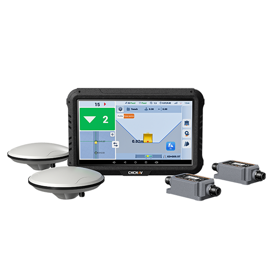
EasyNAV EMG100
The EasyNAV EMG100 2.5D Excavator System is a precise and user-friendly solution designed for…
- GNSS
- Full GNSS
- Precision max.
- ±3 cm
- Display
- 10.1", Android, IP65
Get a quote
Get a quote for XT300
Tell us how many units and where they ship. An engineer replies with price, lead time and freight within 24 hours.
- Reply within 24 hours
- Original units with serial numbers
- Local coordinate system preset
Reply within 24 h · Original units · Local datum preset