
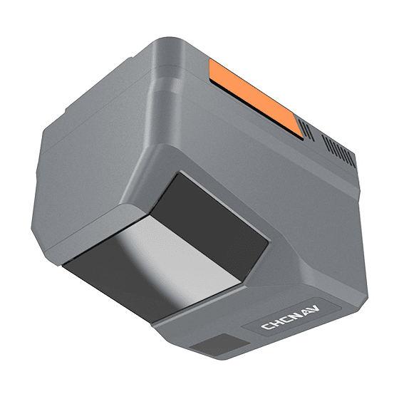
- Range
- 2100m @80%, 960m @10%
- Scanning rate
- 2,000,000 pulses/sec
- FOV
- 90°
Authorized distributor of original survey instruments·Dispatch in 3 to 7 working days·DDP / CIF / FOB
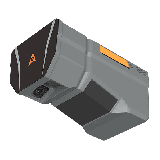
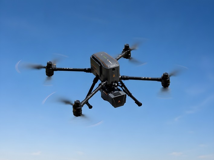
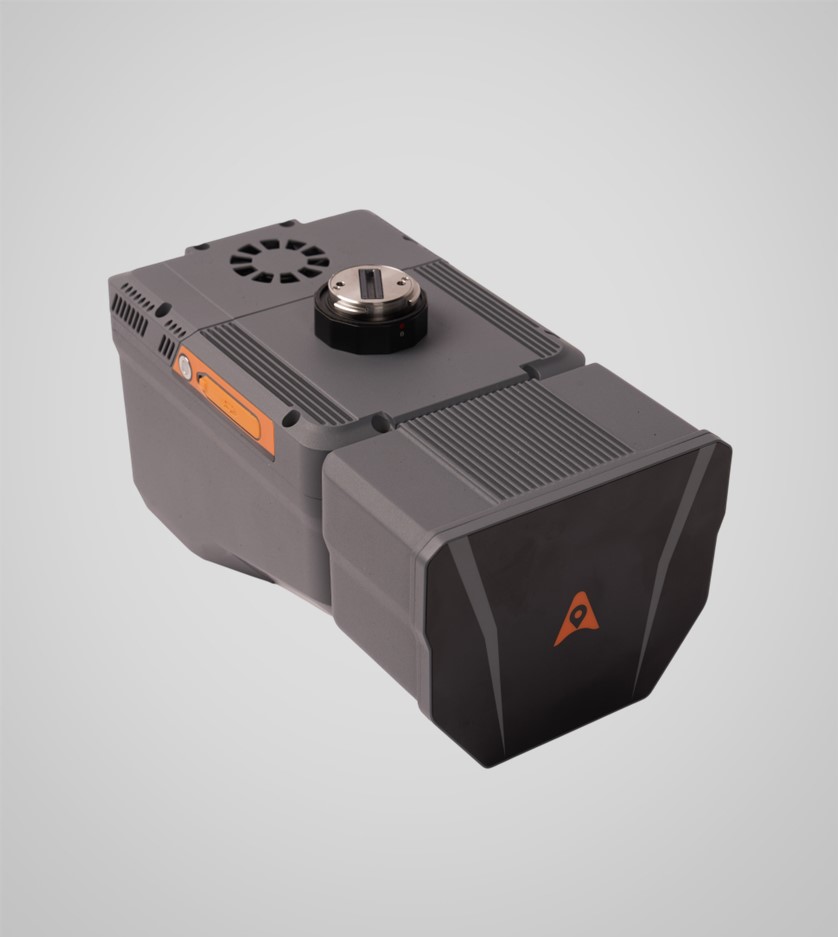
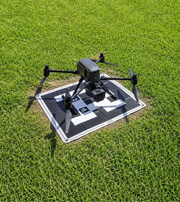


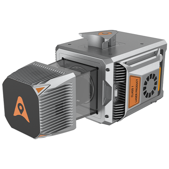
The CHCNAV AlphaAir 6 Dual (AA6D) airborne LiDAR system is designed for aerial surveying in complex and high-relief terrain. Combining prism scanning technology with a inertial navigation system, the AA6D delivers up to 2,100 m ranging capability and supports flight altitudes from 100 to 600…
Original CHCNAV unit·Authorized distributor
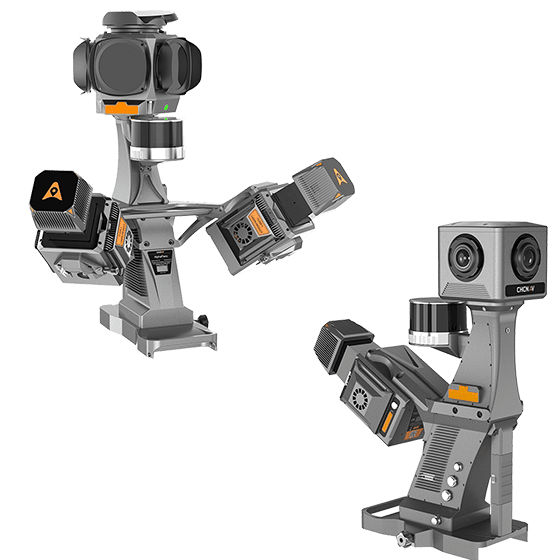
The CHCNAV AlphaAir 6 Dual (AA6D) airborne LiDAR system is designed for aerial surveying in complex and high-relief terrain. Combining prism scanning technology with a inertial navigation system, the AA6D delivers up to 2,100 m ranging capability and supports flight altitudes from 100 to 600 m AGL. Its 5th-generation waveform processing improves point cloud density and data completeness. Dual APS-C CMOS sensors with an ultra-wide 110° FOV deliver high-quality imagery. Open interfaces ensure compatibility with multi-rotor UAV, fixed-wing UAV, and manned aircraft platforms.
Values from the CHCNAV datasheet. Ask us for the full sheet or a side by side with another model.
Download datasheet (PDF)Free PDFs for the AlphaAir 6 Dual. Need a manual in another language? Ask us and we will send it.
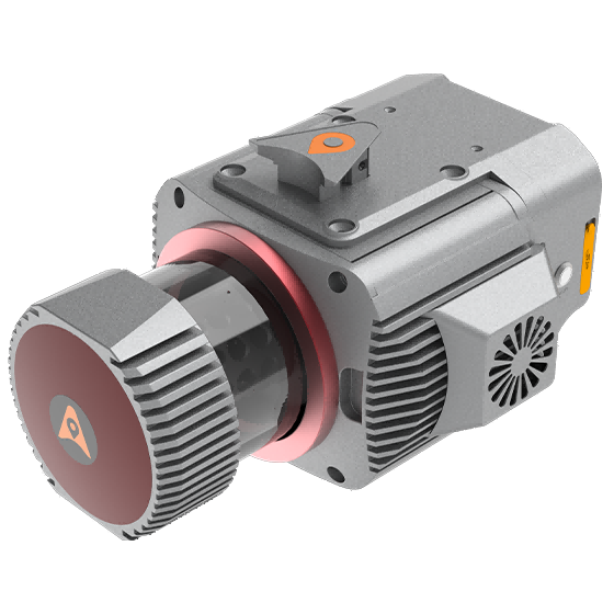
Multi-platform LiDAR system that combines a high-precision long-range laser scanner with Riegl's Waveform LiDAR…
Cost-effective, premium-class multi-platform mobile mapping system that embodies CHCNAV's advanced LiDAR technology. Designed for…
Tell us how many units and where they ship. An engineer replies with price, lead time and freight within 24 hours.
Reply within 24 h · Original units · Local datum preset