
SOUTH
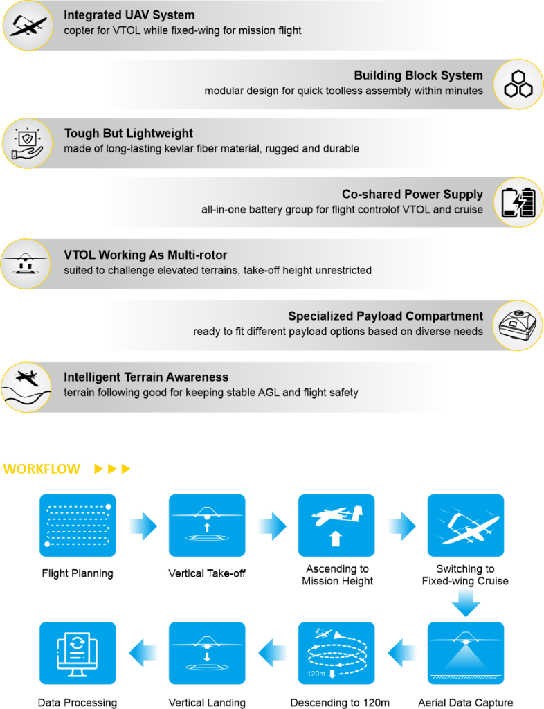
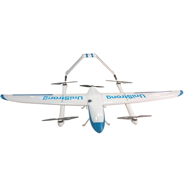
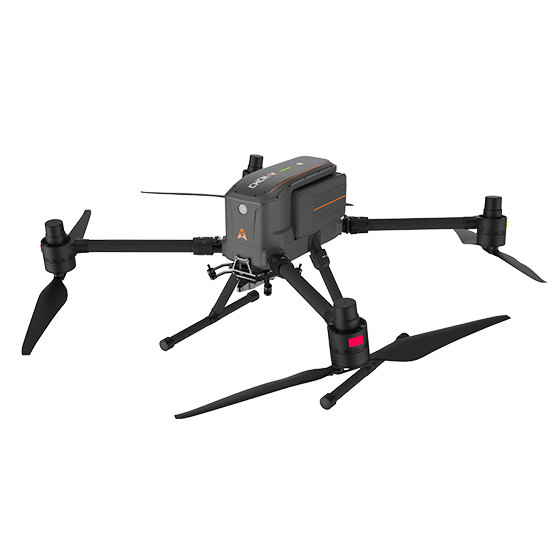
UAV Fly2Map Series - SkyCruiser VTOL Family
Ask us for price, lead time and freight to your country.
Original SOUTH unit·Authorized distributor
Specifications
Technical data
Values from the SOUTH datasheet. Ask us for the full sheet or a side by side with another model.
Download datasheet (PDF)Fly2Map Series - SkyCruiser VTOL Family
- Dimension
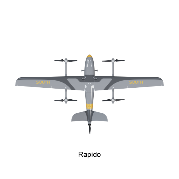
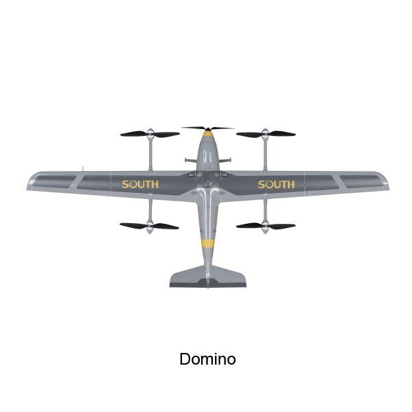
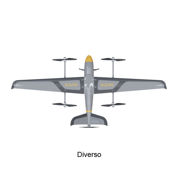
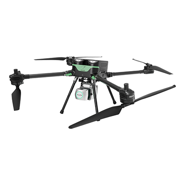
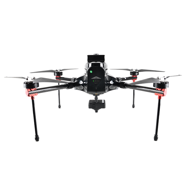
- Rapido: 2400x1150x370 mm Domino: 3378x1500x500 mm Diverso: 4128x1927x749 mm
- Max. Payload Capacity
- Rapido: 1.3 kg Domino: 5 kg Diverso: 10 kg
- Max. Ceiling
- Rapido: 4000 m ASL Domino: 4500 m ASL Diverso: 4500 m ASL MAX 6500m
- Max. Cruising Speed
- Rapido: 110 km/h Domino: 130 km/h Diverso: 130 km/h
- Regular Cruising Speed
- Rapido: 70 km/h Domino: 70 km/h Diverso: 72 km/h
- Max. Cruise Range
- Rapido: 210 km Domino: 245 km Diverso: 280 km
- Flight Endurance
- Rapido: 120 min Domino: 210 min Diverso: 240 min
- Wind Resistance
- beaudfort scale 6
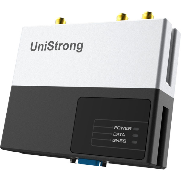
- Airborne GNSS Module
- GPS + Glonass + Galileo + Beidou tracking, for RTK/PPK
- Airborne GNSS Accuracy
- Flatness accuracy: ±(2.5 mm + 1 ppm) Altitude accuracy: ±(5 mm + 1 ppm)
- Payload Option
- Rapido: RGB full framer S61, Multi-lens T53P Domino: RGB full framer S61, Multi-lens T53P, Multi-lens Q51 Diverso: RGB full framer S61, Multi-lens T53P, Multi-lens Q51, Infrared Thermal S640, Airborne LiDAR SAL-1500
Downloads
Datasheets and manuals
Free PDFs for the UAV Fly2Map. Need a manual in another language? Ask us and we will send it.
- UAV Fly2Map datasheetEN · PDF · 3.2 MB EN Download
Related
All UAV and mobile mappingView all
Similar UAV and mobile mapping
Get a quote
Get a quote for UAV Fly2Map
Tell us how many units and where they ship. An engineer replies with price, lead time and freight within 24 hours.
- Reply within 24 hours
- Original units with serial numbers
- Local coordinate system preset
Reply within 24 h · Original units · Local datum preset