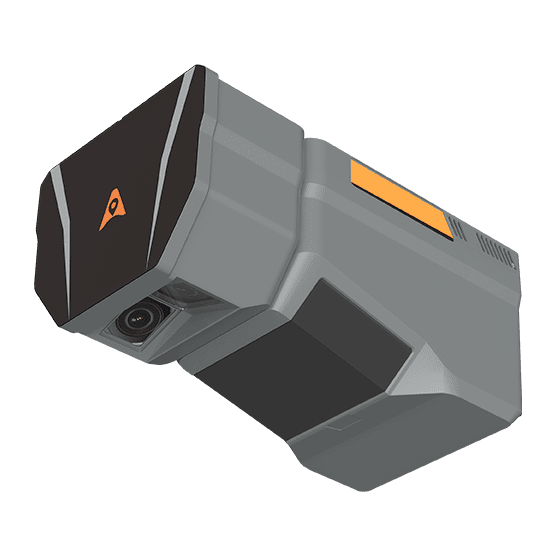
CHCNAV AlphaAir 15 Laser Scanner
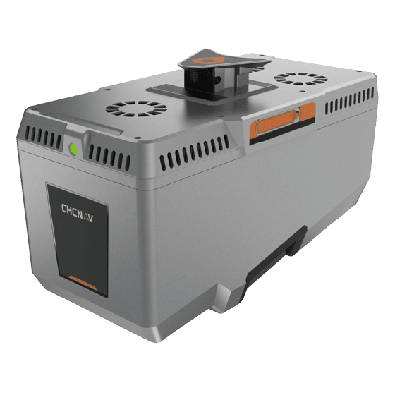
CHCNAV AlphaAir 15 Laser Scanner view 2
CHCNAV AlphaAir 15 Laser Scanner view 3
CHCNAV AlphaAir 15 Laser Scanner view 4
CHCNAV AlphaAir 15 Laser Scanner view 5
CHCNAV AlphaAir 15 Laser Scanner view 6
CHCNAV AlphaAir 15 Laser Scanner view 7
CHCNAV AlphaAir 15 Laser Scanner view 8
CHCNAV

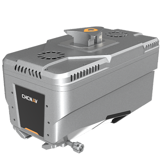
AlphaAir 15 Laser Scanner

The AlphaAir 15 (AA15) is a lightweight, high-performance airborne LiDAR system designed for large-scale operations where high-density data capture is crucial. With a range of up to 1800 meters and the ability to produce 2 million pulses per second, the AA15 is ideal for mapping…

1800 m
Range
45 MP
Resolution
600 Hz
IMU

Original CHCNAV unit·Authorized distributor

  • Dispatch in 3 to 7 working daysShips in 3–7 days · DDP / CIF / FOB
  • DDP / CIF / FOB to most countries
  • Local coordinate system preset before shipping
  • Datasheet (PDF, 3.8 MB)
Overview

About the AlphaAir 15

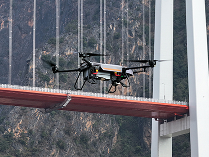
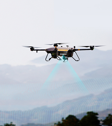
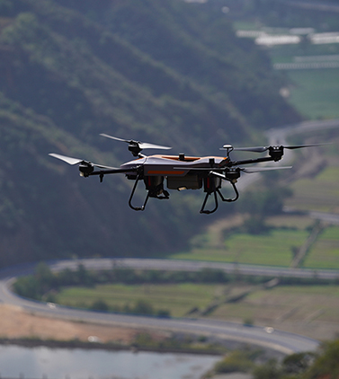
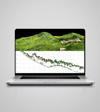
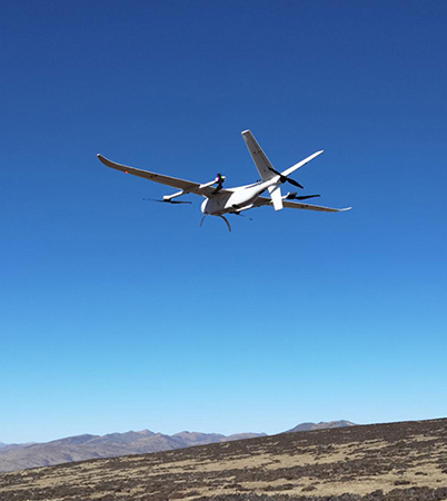
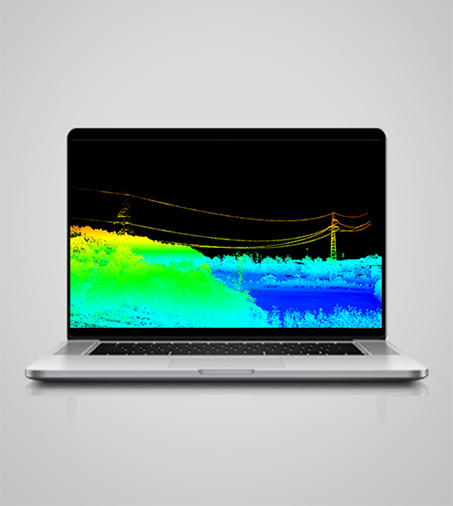
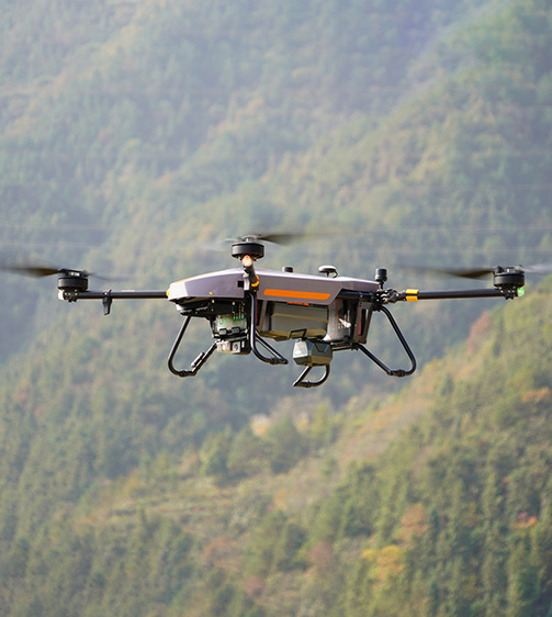
The AlphaAir 15 (AA15) is a lightweight, high-performance airborne LiDAR system designed for large-scale operations where high-density data capture is crucial. With a range of up to 1800 meters and the ability to produce 2 million pulses per second, the AA15 is ideal for mapping and geospatial applications, including corridor mapping, urban planning, and vegetation analysis. Its compact design allows for easy integration with UAVs, small aircraft, and helicopters.

Specifications

Technical data

Values from the CHCNAV datasheet. Ask us for the full sheet or a side by side with another model.

Download datasheet (PDF)

Laser Scanner

Range
1800 m
Scanning rate
2.000.000 pulses/sec
Field of view
75°
Returns
Up to 16

Imaging

Resolution
45 MP
Focal length
21 mm/35 mm

Positioning

GNSS
Full constellations
IMU
600 Hz
Precision max.
1,5 cm at 150 m

Connectivity

Wireless
Ethernet

Environmental

Operating
-20°C to +50°C
Protection rating
IP64

Physical

Weight
2,5 kg
Size
247 x 126 x 156 mm

Performances

Memory
512 GB

Laser Scanner

Range
1800 m
Scanning rate
2.000.000 pulses/sec
Field of view
75°
Returns
Up to 16

Imaging

Resolution
45 MP
Focal length
21 mm/35 mm

Positioning

GNSS
Full constellations
IMU
600 Hz
Precision max.
1,5 cm at 150 m

Connectivity

Wireless
Ethernet

Environmental

Operating
-20°C to +50°C
Protection rating
IP64

Physical

Weight
2,5 kg
Size
247 x 126 x 156 mm

Performances

Memory
512 GB

Laser Scanner

Range
800 m
Scanning rate
500.000 pulses/sec
Field of view
75°
Returns
Up to 8

Sensors

Camera
Optional external camera

Imaging

Resolution
45 MP
Focal length
21 mm

Positioning

GNSS
Full GNSS
IMU
500 Hz
Precision max.
< 5 cm H / < 5 cm V

Environmental

Operating
-20°C to +50°C
Protection rating
IP64

Physical

Weight
1,55 kg
Size
210 x 112 x 131 mm

Performances

Memory
512 GB x 2
Downloads

Datasheets and manuals

Free PDFs for the AlphaAir 15. Need a manual in another language? Ask us and we will send it.

  • AlphaAir 15 datasheetEN · PDF · 3.8 MB EN Download
Related

Similar laser scanners and LiDAR

All laser scanners and LiDARView all
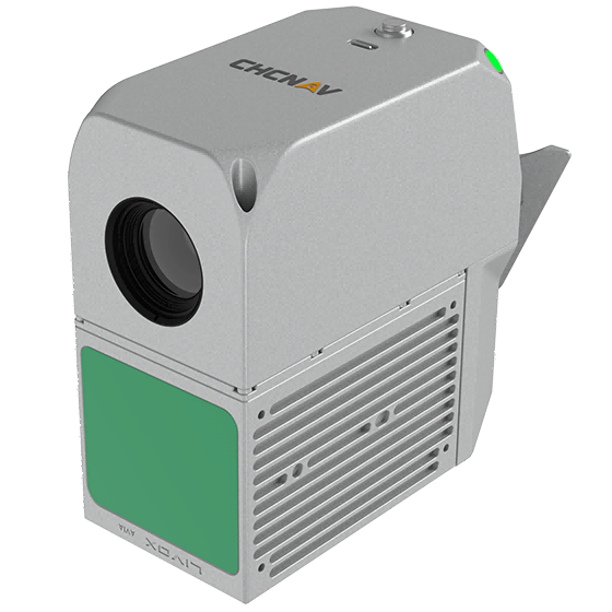
CHCNAV AlphaAir 15 Pro
CHCNAV

AlphaAir 15 Pro

Premium airborne LiDAR system for large-area geospatial data capture. With up to 3,200 m…
Scanning rate
2,400,000 pulses/sec
Field of view
75°
Returns
Up to 16
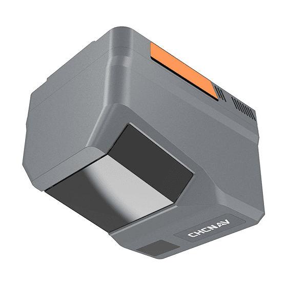
CHCNAV AlphaAir 6 Dual
CHCNAV

AlphaAir 6 Dual

The CHCNAV AlphaAir 6 Dual (AA6D) airborne LiDAR system is designed for aerial surveying…
Range
2100m @80%, 960m @10%
FOV
90°
Returns
Up to 16
Get a quote

Get a quote for AlphaAir 15

Tell us how many units and where they ship. An engineer replies with price, lead time and freight within 24 hours.

  • Reply within 24 hours
  • Original units with serial numbers
  • Local coordinate system preset

Reply within 24 h · Original units · Local datum preset

We reply within 24 hours. No spam.