
ComNav
LS300 Laser Scanner (End of Life)
Ask us for price, lead time and freight to your country.
Original ComNav unit·Authorized distributor
Overview
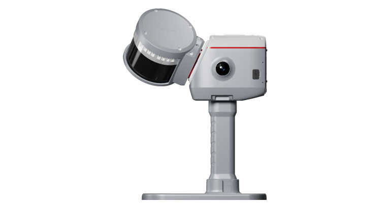
About the LS300
Pioneer of Efficiency in Laser Scanning
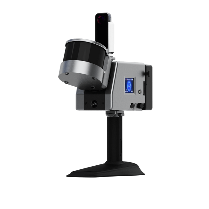
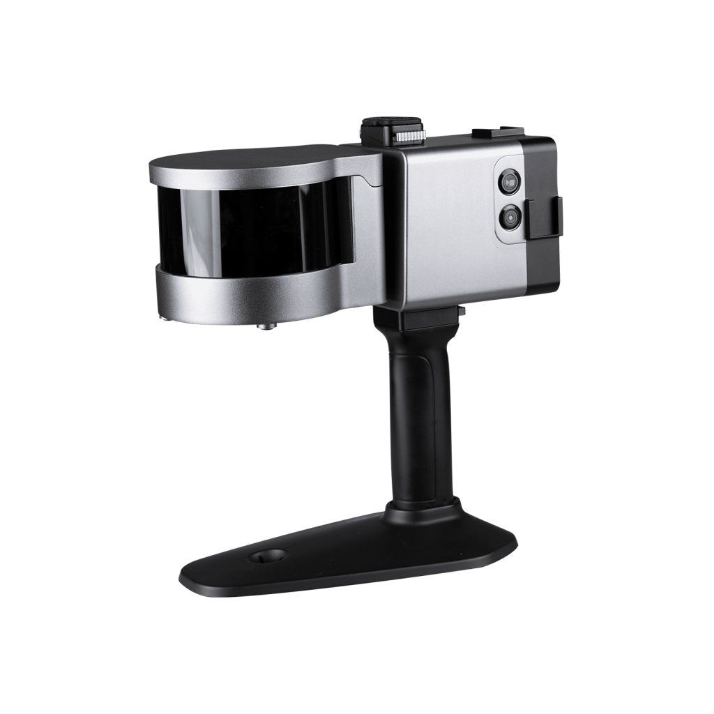
The LS300 features a rotating laser sensor probe with a working range of 120 meters, delivering outstanding performance. It has a sampling rate of up to 0.32 million points per second and a wide scanning field covering 360° × 285°, ensuring exceptional data capture capabilities. Furthermore, it provides impressive point accuracy of up to 1.0 cm, even in extended range mode with low reflectivity.
Hot Swappable Batteries
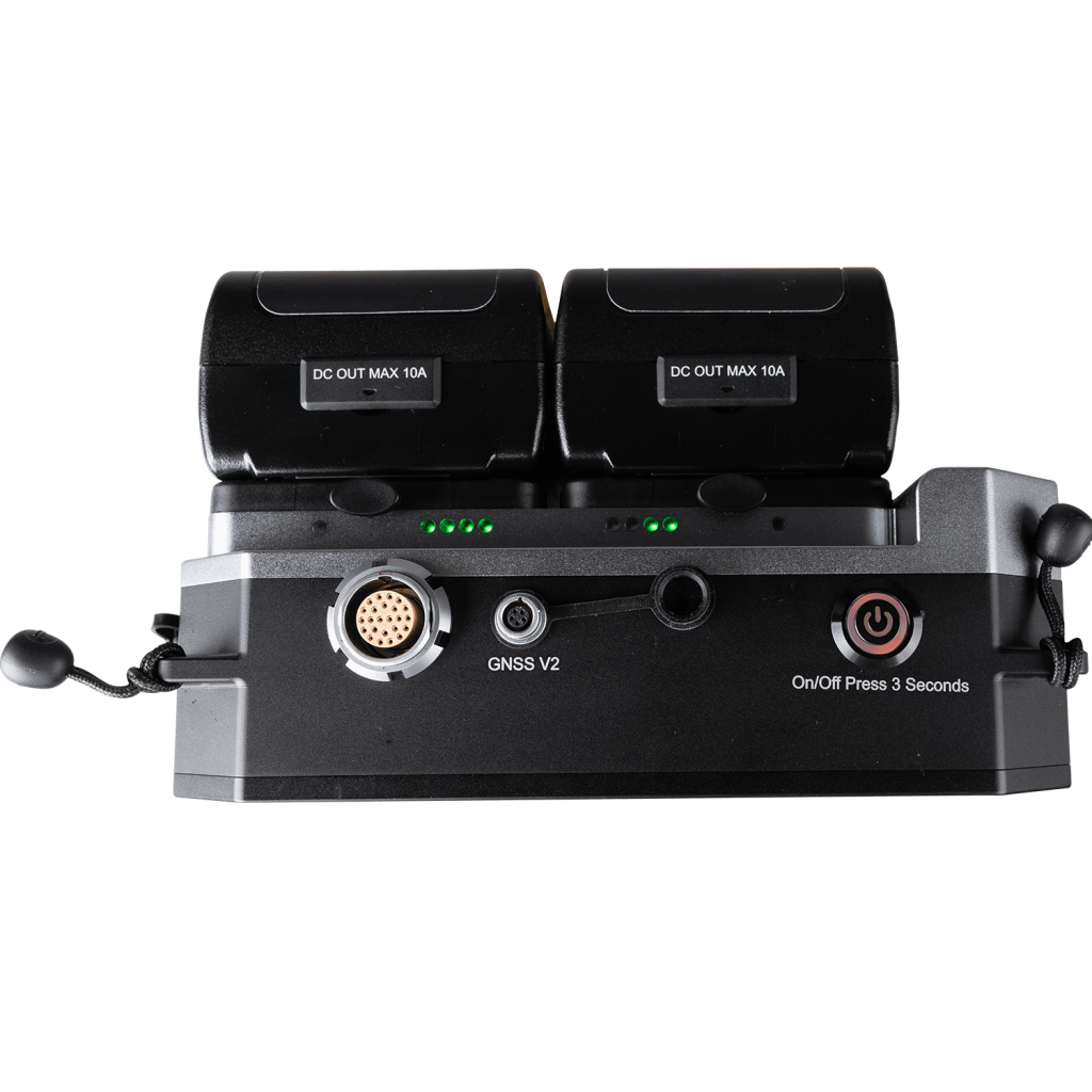
The LS300 adopts a continuous redundancy design with dual batteries, supports hot swapping and battery replacement, and holds this technical patent.
Versatile Scanner for Various Applications
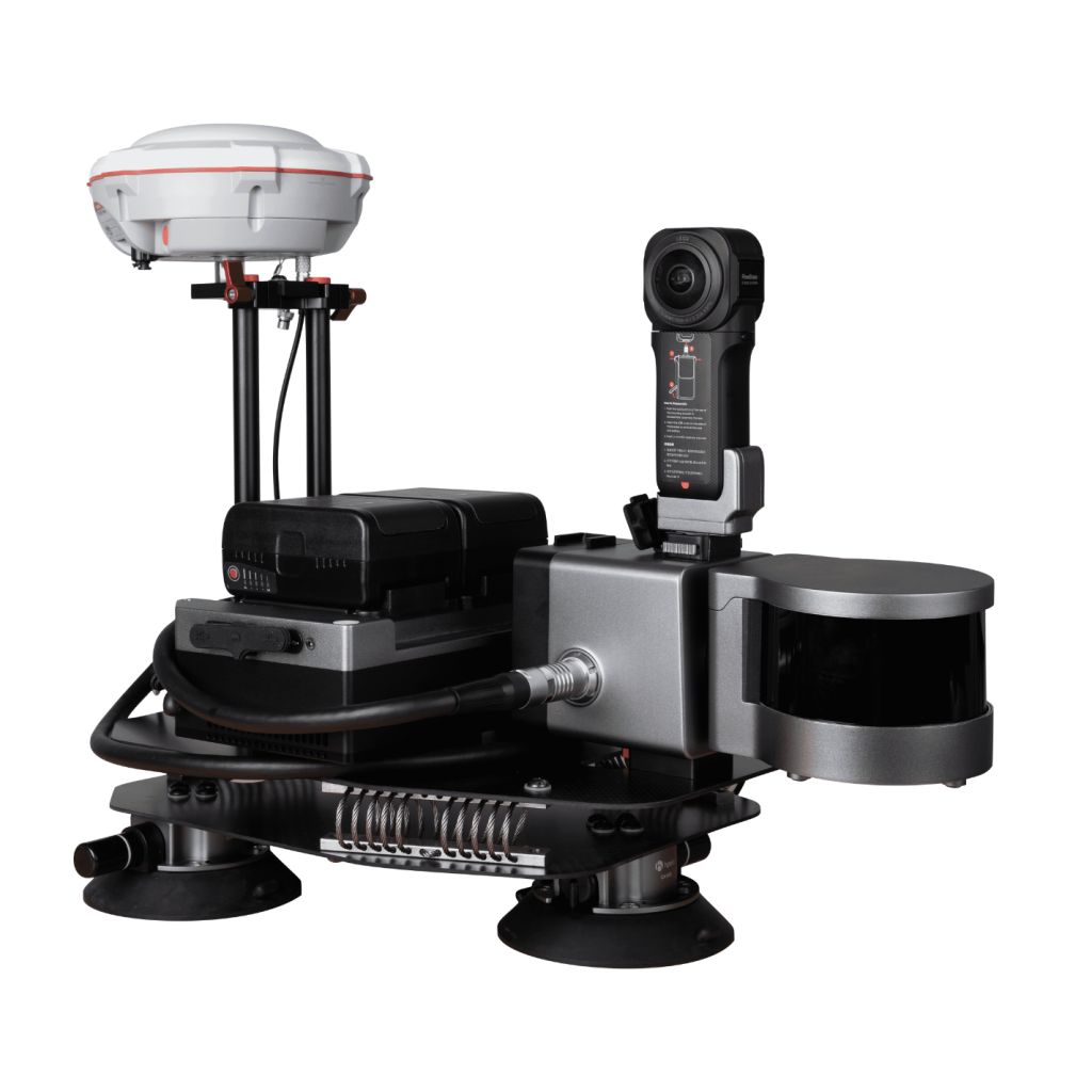
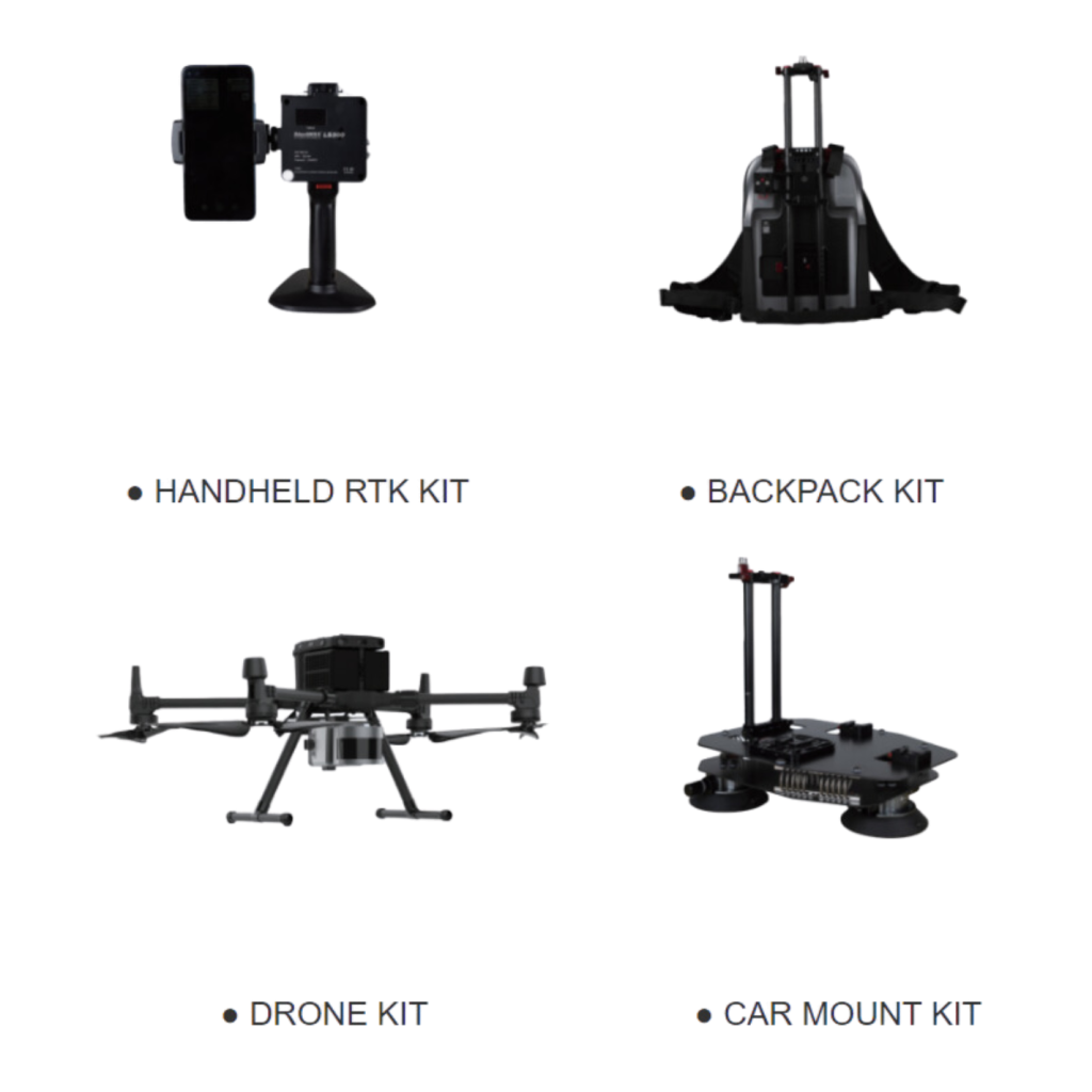
The LS300 Laser Scanner is a versatile tool for a range of applications. It can quickly switch between scanning modes, offers 2 cm accuracy with GNSS integration, and supports the integration of third-party devices, providing flexibility for various collaborative tasks and expanding application possibilities.
Real-Time Overview on the Application
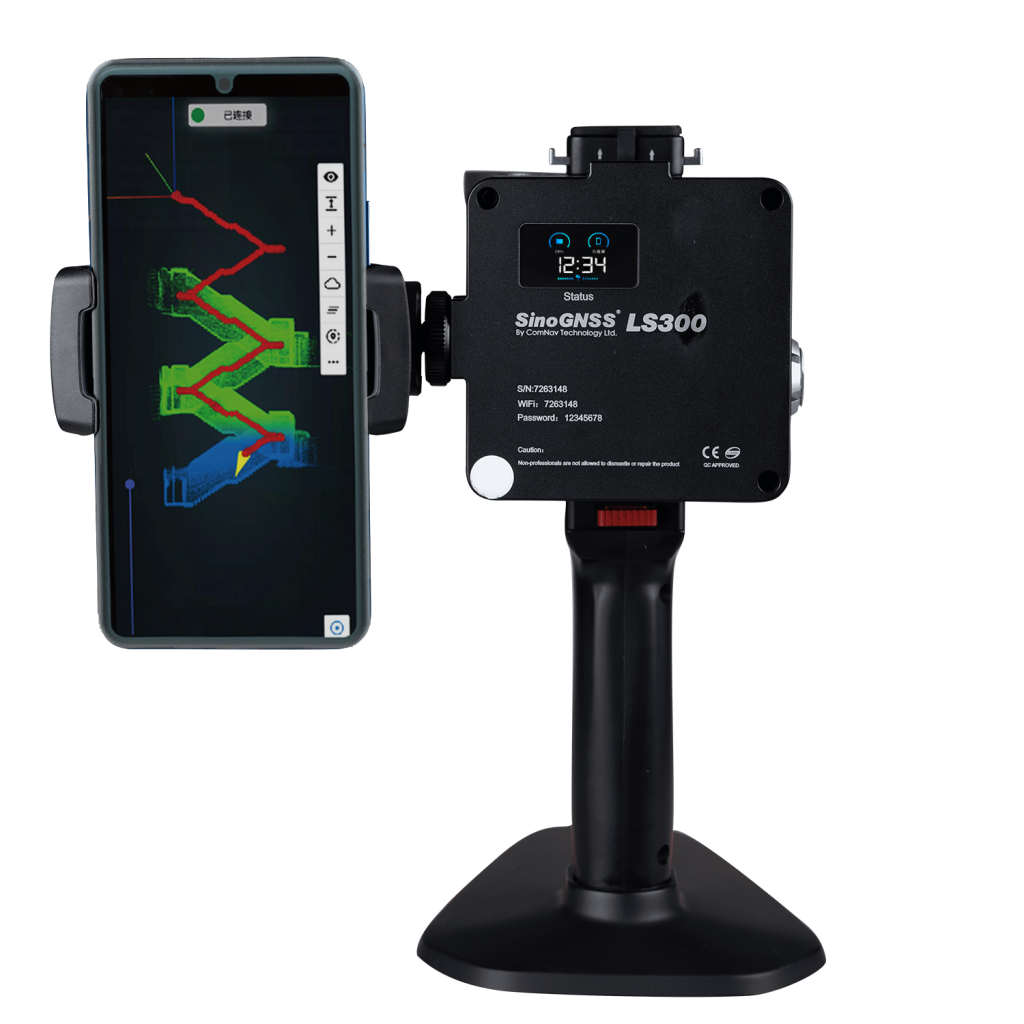
During operation, the application can browse point cloud data in real-time, supporting multiple navigation interaction modes and enhanced human-computer interaction content.
Innovative Hybrid Resolution Technology
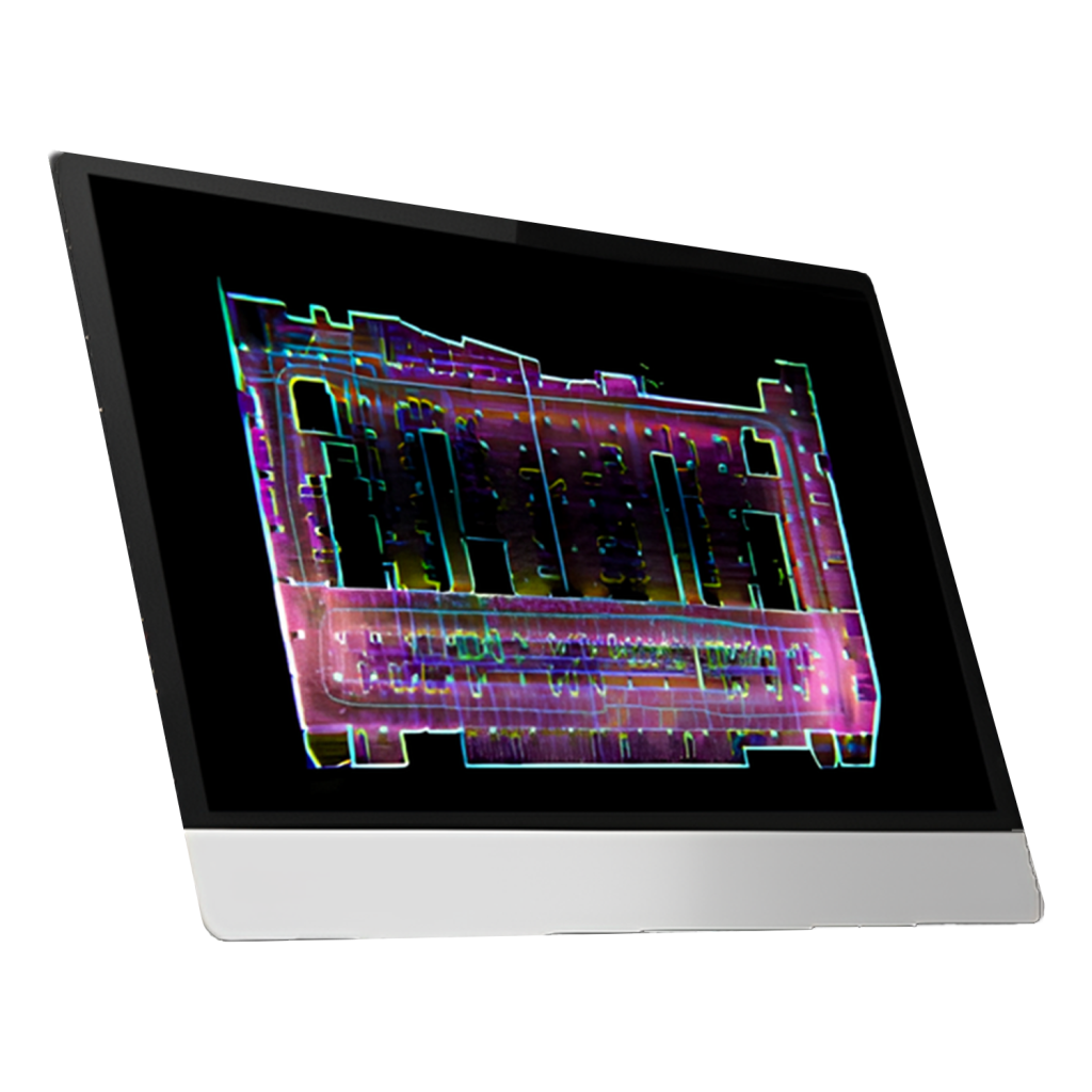
Experience a paradigm shift with the LS300, featuring revolutionary hybrid resolution technology. This unique capability allows for simultaneous post-processing of previous data during scanning, resulting in a significant improvement in the speed and efficiency of high-precision data acquisition like never before.
Anchor Point Process
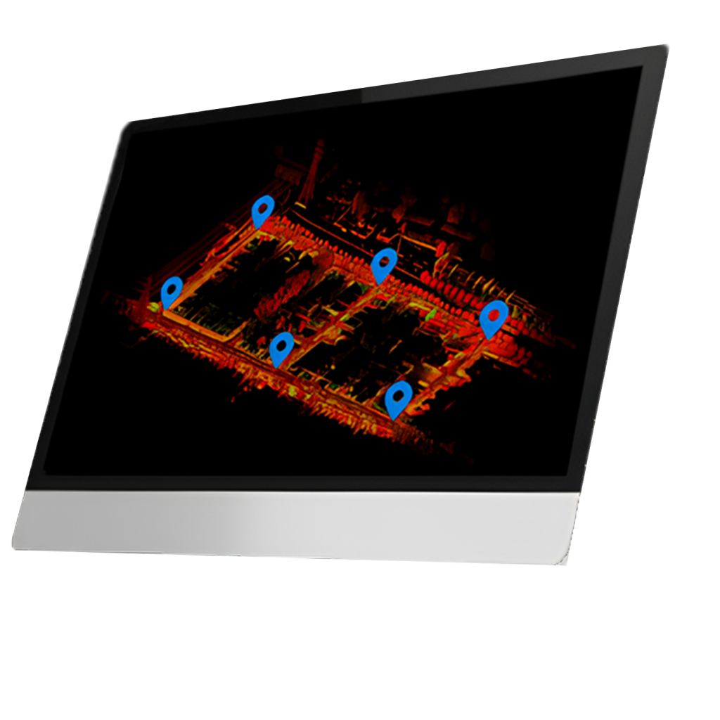
An anchor point solution feature ensures precision and stability when scanning data indoors and outdoors with long ranges, weak features, and high difficulty. During the data post-processing stage, capture the absolute coordinates of control points, and these control points can perform a global adjustment of the data to achieve high-precision scanning results.
Downloads
Datasheets and manuals
Free PDFs for the LS300. Need a manual in another language? Ask us and we will send it.
- SinoGNSS LS300 Laser Scanner.pdfEN · PDF · 1.9 MB EN Download
Related
All laser scanners and LiDARView all
Similar laser scanners and LiDAR
KOLIDA
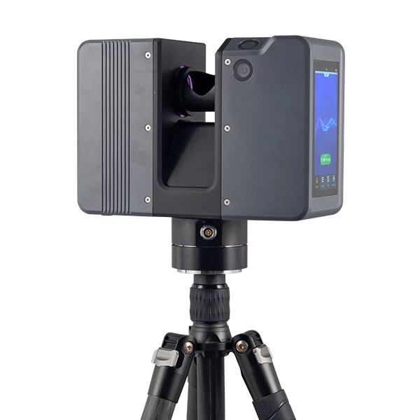
Pulsed Precise Terrestrial Laser Scanners
Pulsed Precise Scan technology Scanning Range: 0.6 ~ 1500m Scanning Accuracy: 3mm @ 100m…
Get a quote
Get a quote for LS300
Tell us how many units and where they ship. An engineer replies with price, lead time and freight within 24 hours.
- Reply within 24 hours
- Original units with serial numbers
- Local coordinate system preset
Reply within 24 h · Original units · Local datum preset