
ComNav
XP300 Guidance System
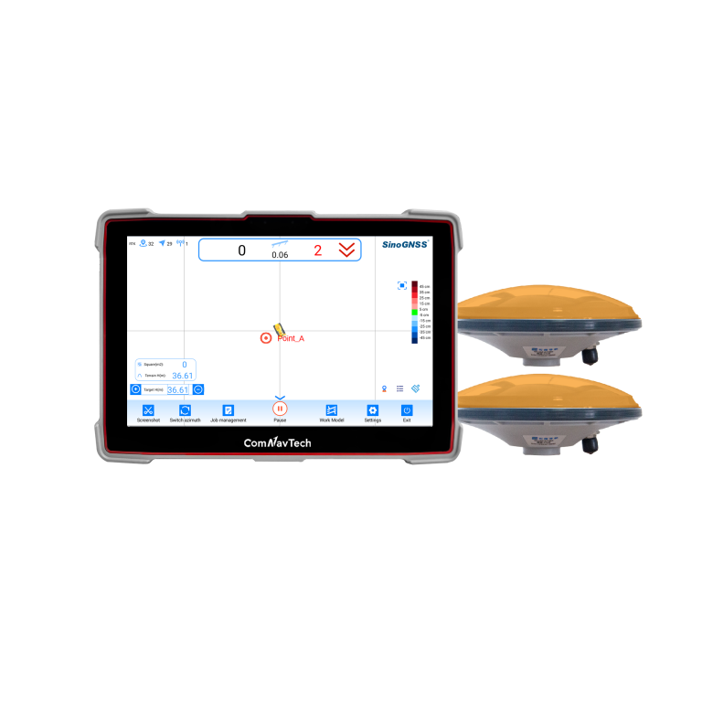
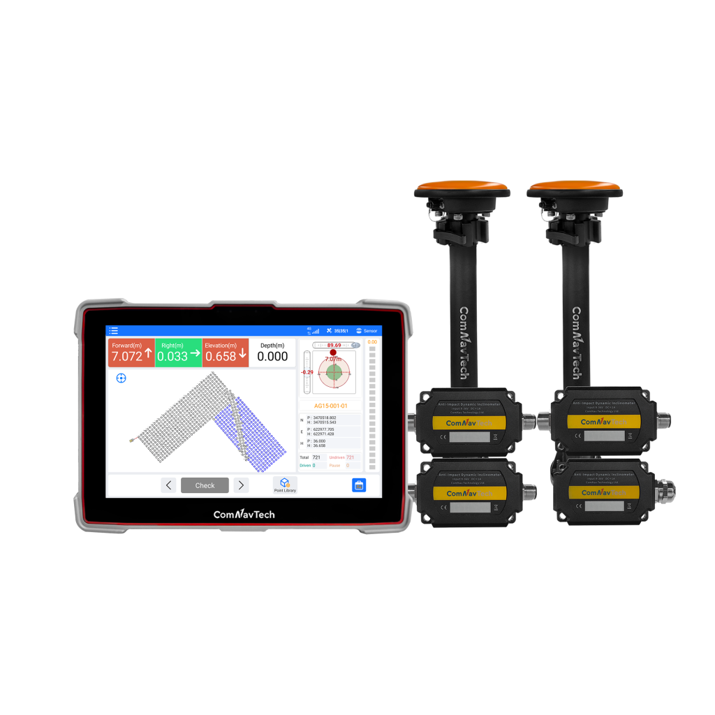
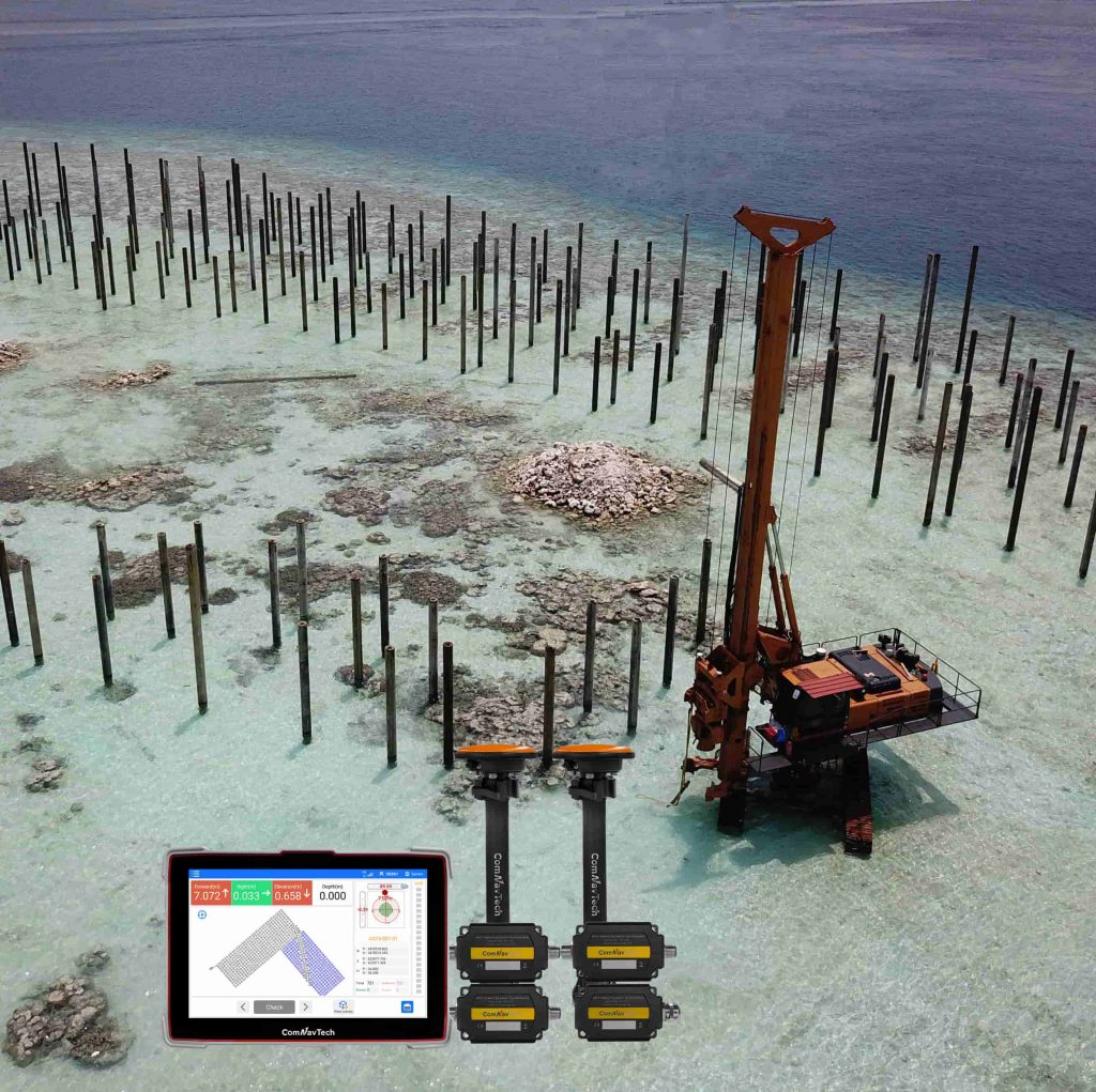
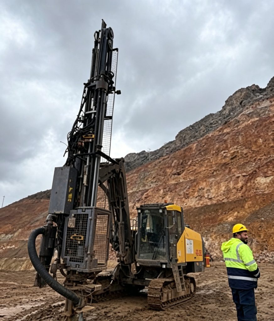
The XP300 is an advanced guidance system designed for high-precision piling operations. Engineered for all-weather performance, the XP300 ensures exceptional accuracy in piling, significantly enhancing project efficiency.
- 1280*720
- Resolution Rate
- 0.2°/R
- Azimuth
- 2cm
- Piling Accuracy
Original ComNav unit·Authorized distributor
Overview
About the XP300
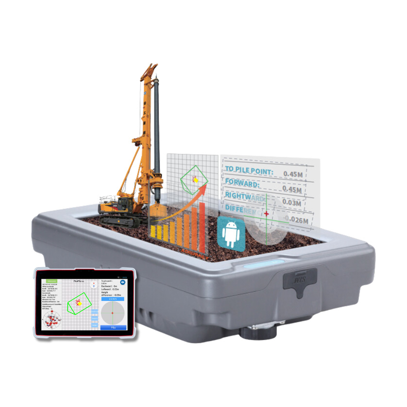
The XP300 is an advanced guidance system designed for high-precision piling operations. Engineered for all-weather performance, the XP300 ensures exceptional accuracy in piling, significantly enhancing project efficiency. This system simplifies management, eliminating the need for extensive pre-operation setup, thereby reducing construction time and costs. It offers intelligent monitoring and visual operation, delivering precise results consistently. The XP300 also minimizes labor requirements and reduces worker fatigue through its integrated software solutions. Ideal for a wide range of applications, the XP300 is perfect for infrastructure projects, road and bridge construction, coastal operations, municipal engineering, and building construction.
- 01
2CM REAL-TIME PILING ACCURACY
- 02
SUPPORTS VARIOUS FORMATS
- 03
HIGHLY INTEGRATION DESIGN
- 04
FLEXIBLE RTK CORRECTION DATA RESOURCE
- 05
RELIABLE EVERYWHERE ANYTIME
- 06
USER FRIENDLY INTERFACE
2CM REAL-TIME PILING ACCURACY
XP300 ensures proven 2 cm real-time piling accuracy, while reducing labor costs for your construction.
HIGHLY INTEGRATION DESIGN
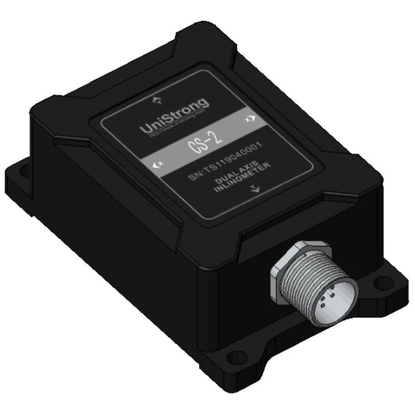
10’’ high-resolution tablet with integrated high-precision GNSS module allows for easy installation and operation.
FLEXIBLE RTK CORRECTION DATA RESOURCE
Acquire correction via internal datalink by setting up N5 GNSS receiver as the base. It also allows you to connect local CORS to get corrections.
Specifications
Technical data
Values from the ComNav datasheet. Ask us for the full sheet or a side by side with another model.
Signal Tracking
- GPS
- L1C/A, L2C, L2P
- BDS
- B1I, B2I, B3I, B2b
- GLONASS
- G1, G2
- Galileo
- E1, E5b
- QZSS
- L1C/A, L2C
- SBAS
- L1C/A
Tablet
- Size
- 10.1”
- Resolution Rate
- 1280*720
- Memory
- 4GB RAM, 64GB ROM
- System
- Android 9.0
- Wifi/Bluetooth
- Yes
- Type C Port
- 1
- USB Port
- 3
- TF Card Port
- 1
- SIM Card Port
- 1
- GNSS Antenna Port
- 1
- UHF Antenna Port
- 1
- 4G Antenna Port
- 1
- Lemo port
- 3 (including RS232/RJ45 PPS/EVENT/CAN/USB)
- Datalink
- - Frequency Range: 410-470MHz - Transmit power: 0.5W, 1W, 2W adjustable - Air Baud Rate: 9600 / 19200 adjustable
- Working Temperature
- -30°C~+75°C
- Storage Temperature
- -40°C~+85°C
- Waterproof and Dustproof
- IP67
- Power Supply
- DC 6V~36V
Accuracy
- Horizontal Accuracy
- 8 mm + 1 ppm
- Vertical Accuracy
- 15 mm + 1 ppm
- Azimuth
- 0.2°/R
- Roll or Pitch
- 0.4°/R
- Piling Accuracy
- 2cm
Sensor
- Size
- 37.6 x 55 x 24mm
- External Power Input
- 9~36V
- Angle Range
- ±80°(Pitch) ±180°(Roll)
- Dynamic Accuracy (RMS)
- 0.4°
- Operation Temperature
- -40~85°C
- Waterproof and Dustproof
- IP68
Related
All machine controlView all
Similar machine control
CHCNAV
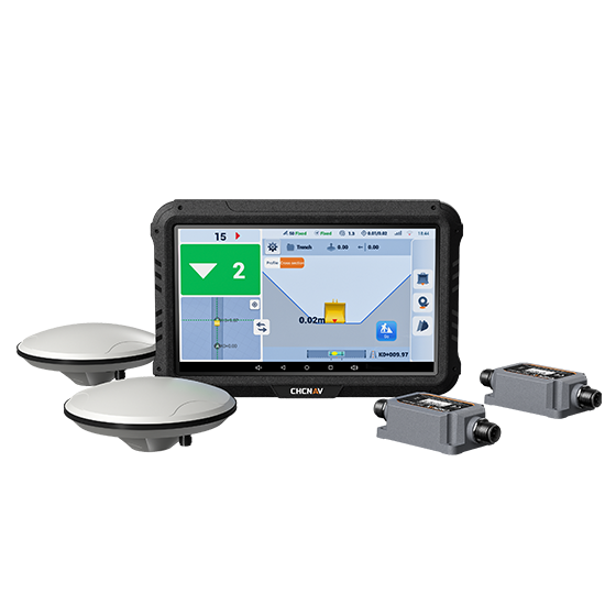
EasyNAV EMG100
The EasyNAV EMG100 2.5D Excavator System is a precise and user-friendly solution designed for…
- GNSS
- Full GNSS
- Precision max.
- ±3 cm
- Display
- 10.1", Android, IP65
Get a quote
Get a quote for XP300
Tell us how many units and where they ship. An engineer replies with price, lead time and freight within 24 hours.
- Reply within 24 hours
- Original units with serial numbers
- Local coordinate system preset
Reply within 24 h · Original units · Local datum preset