
KOLIDA
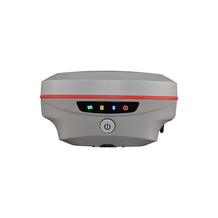
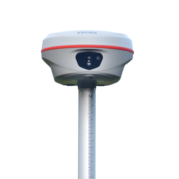
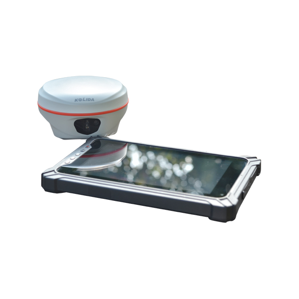
K60 Pro GNSS RTK Receiver
Redefine your perspective and go beyond the ordinary. 2025 Flagship model.
Original KOLIDA unit·Authorized distributor
Overview
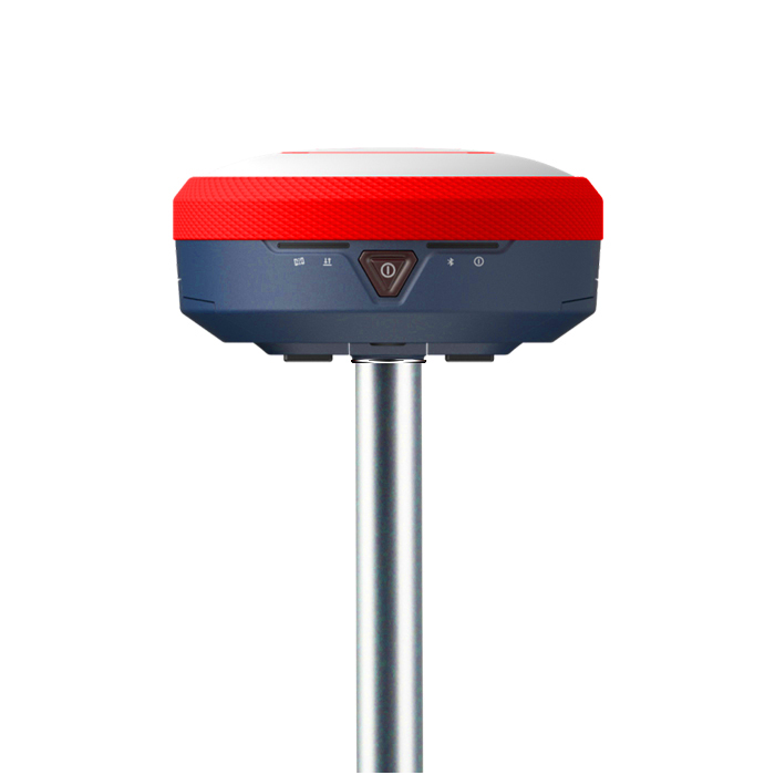
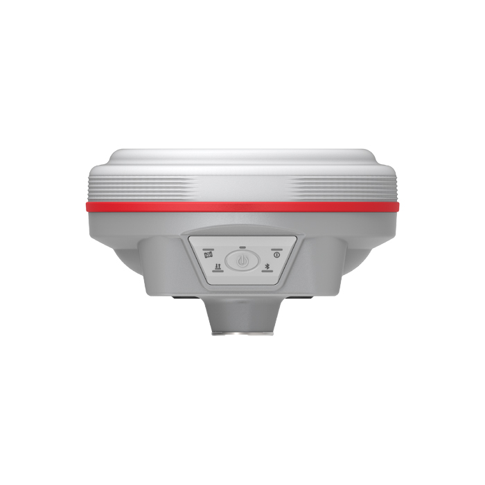
About the K60 Pro
- 01
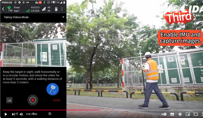
Video Shooting Photogrammetry Positioning
- 02
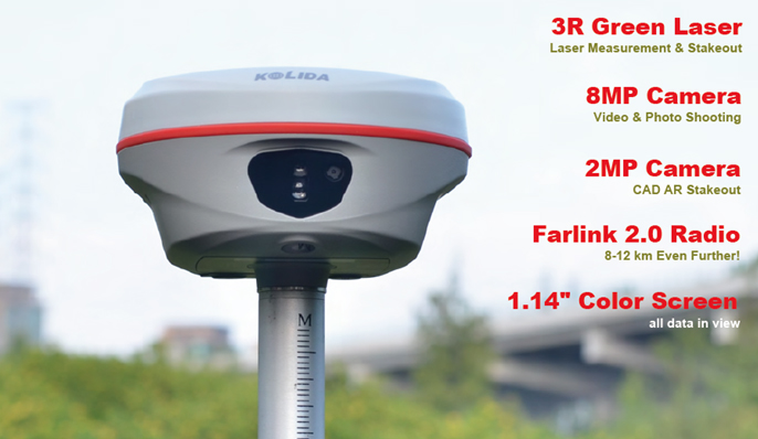
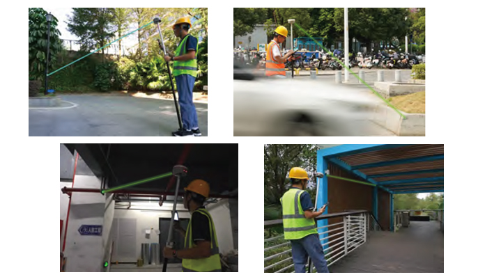
Laser Shooting Measurement & Stakeout
- 03
3D Modeling by Post-processing SW
- 04
Farlink 2.0 Advanced UHF Radio
Why Total RTK?
The reasons to choose a Total RTK are as diverse as the lives we lead. KOLIDA Total RTK is born to help you get the most out of your working life. There are so many no-compromise reasons, from the intelligent design of software, long-range measurement capability, diverse surveying mode offering, to the overall quality, durability, and the industry-leading reliability of the brand and its distributor lineup. Video : https://www.youtube.com/shorts/ZCmO5XL06Tg
Laser helps you,
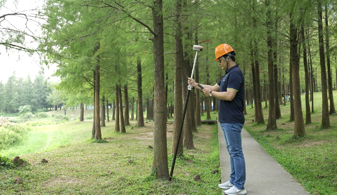
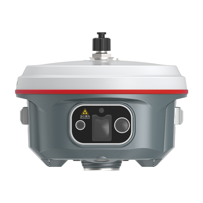
Literally. The old way to do more work and obtain more result was to work harder and work bravely. But it makes surveyor tired. The all-new laser RTK way is to add a new laser module on hardware and software. The resuilt is 20% even more efficient than you'd get from a traditional GNSS RTK. And it kicks in the instant you press the botton on controller app. The laser module and GNSS module work together seamlessly to measure the target that you were difficult to reach before. Until you experience it, you won't know what the future holds. See the example video from https://www.youtube.com/watch?v=ZcpqyoS47RI
Mass Data Collection,
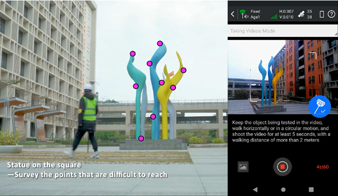
By Video Shooting. With Kolida's advanced photogrammetry technology, K60 Pro user can easily acquiring coordinates for hundreds of points within minutes, by using the 8MP front camera to shoot a video or some photos. See the example video from https://www.youtube.com/watch?v=8l6vsK7eL7A
3D Modeling,
The New Value Added Surveyors can use K60 Pro to capture photoes of the objectives and process out 3D model. The data output can be used with the 3rd party designing software, also can be combined with Drone (UAV) data, such as DJI and other brands.
Specifications
Technical data
Values from the KOLIDA datasheet. Ask us for the full sheet or a side by side with another model.
Download datasheet (PDF)Satellite Tracking Ability
- Channels 1698 channels
- Constellation GPS, GLONASS, BEIDOU, GALILEO, QZSS , SBAS / L-Band BDS PPP & Galileo HAS
- Positioning Output Rate 1-20 HZ
- Initialization Time 2-8 s
Positioning Precision
- UHF RTK Horizontal ±8mm +1 ppm Vertical ±15mm +1 ppm
- Network RTK Horizontal ±8mm +0.5 ppm Vertical ±15mm +0.5 ppm
- Static and Fast-Static Horizontal ±2.5mm +0.5 ppm Vertical ±5mm +0.5 ppm
- RTK Initial time 2-8s
User Interaction
- Operation System Linux
- Screen Display Colorful Display / wifi Yes
- Voice Guide yes, 8 language
- Data Storage 16 GB internal, 64 GB external / Web UI Yes
Working Capability
- Laser Measurement Shooting Laser to measure coordinate & stakeout
- Visual Positioning Shooting photo or video to measure coordinate / 3D Modeling Process by Post-processing software
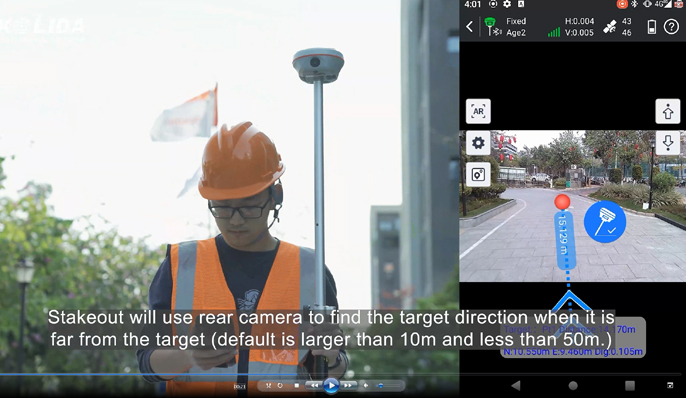
- Visual Stakeout with AR Uses Dual-Camera to stakeout pts, lines, CAD
- Radio Built-in transmitting and receiving, 1/2 W / Tilt Survey Inertial Measurement
- Endurance up to 16 hours (static mode), up to 12 hours (rover mode), up to 10 hours (UHF base mode)
- OTG (Field Download) yes / Electronic Bubble Yes
Satellite Tracking Ability
- Channels 1698 channels
- Constellation GPS, GLONASS, BEIDOU, GALILEO, QZSS , SBAS / L-Band BDS PPP & Galileo HAS
- Positioning Output Rate 1-20 HZ
- Initialization Time 2-8 s
Positioning Precision
- UHF RTK Horizontal ±8mm +1 ppm Vertical ±15mm +1 ppm
- Network RTK Horizontal ±8mm +0.5 ppm Vertical ±15mm +0.5 ppm
- Static and Fast-Static Horizontal ±2.5mm +0.5 ppm Vertical ±5mm +0.5 ppm
- RTK Initial time 2-8s
User Interaction
- Operation System Linux
- Screen Display Colorful Display / wifi Yes
- Voice Guide yes, 8 language
- Data Storage 16 GB internal, 64 GB external / Web UI Yes
Working Capability
- Laser Measurement Shooting Laser to measure coordinate & stakeout
- Visual Positioning Shooting photo or video to measure coordinate / 3D Modeling Process by Post-processing software
- Visual Stakeout with AR Uses Dual-Camera to stakeout pts, lines, CAD
- Radio Built-in transmitting and receiving, 1/2 W / Tilt Survey Inertial Measurement
- Endurance up to 16 hours (static mode), up to 12 hours (rover mode), up to 10 hours (UHF base mode)
- OTG (Field Download) yes / Electronic Bubble Yes
Downloads
Datasheets and manuals
Free PDFs for the K60 Pro. Need a manual in another language? Ask us and we will send it.
- K60 Pro en 241208.pdfEN · PDF · 2.8 MB EN Download
Get a quote
Get a quote for K60 Pro
Tell us how many units and where they ship. An engineer replies with price, lead time and freight within 24 hours.
- Reply within 24 hours
- Original units with serial numbers
- Local coordinate system preset
Reply within 24 h · Original units · Local datum preset