






CHCNAV
RS10 Laser Scanner
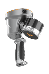
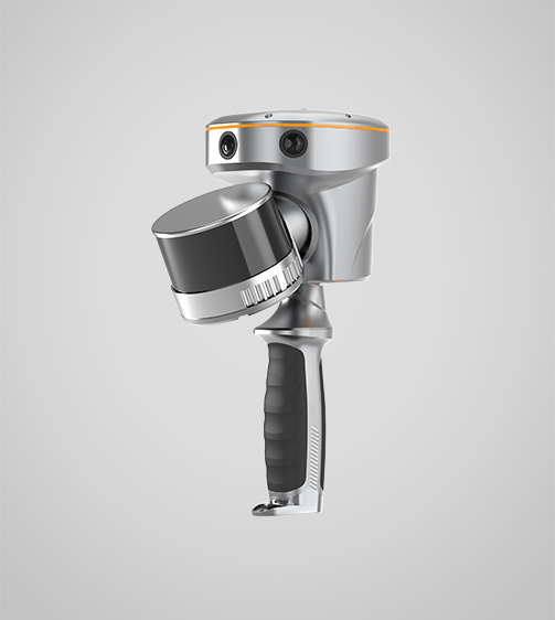
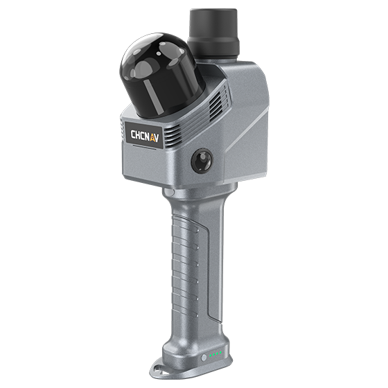
The CHCNAV RS10 is a handheld SLAM 3D laser scanner that integrates GNSS RTK, laser scanning, and visual SLAM in a single platform. This sensor fusion supports efficient and accurate indoor and outdoor 3D data capture, including surveying in GNSS-challenged environments.
- 16 or 32
- Channels
- < 1 cm
- Relative accuracy
Original CHCNAV unit·Authorized distributor
Overview
About the RS10
The CHCNAV RS10 is a handheld SLAM 3D laser scanner that integrates GNSS RTK, laser scanning, and visual SLAM in a single platform. This sensor fusion supports efficient and accurate indoor and outdoor 3D data capture, including surveying in GNSS-challenged environments. Designed for topographic surveying, BIM, forestry, power line inspection, underground mapping, and other reality capture applications, the RS10 provides a flexible mobile mapping solution for professionals seeking to expand their laser scanning and surveying capabilities.
Specifications
Technical data
Values from the CHCNAV datasheet. Ask us for the full sheet or a side by side with another model.
Download datasheet (PDF)Laser Scanner
- Channels
- 16 or 32
- Range
- 120 or 300 m
- Scanning rate
- 320.000 or 640.000 pulses/sec
Positioning
- GNSS
- Full GNSS
- Absolute accuracy
- < 5 cm H / < 5 cm V
- Relative accuracy
- < 1 cm
Sensors
- Camera
- 15 MP (3x 5 MP)
Videos
See the RS10 at work
0:59
GNSS RTK 3d scanner introduction
Product video · Official CHCNAV video
Downloads
Datasheets and manuals
Free PDFs for the RS10. Need a manual in another language? Ask us and we will send it.
- RS10 datasheetEN · PDF · 5.4 MB EN Download
Related
All laser scanners and LiDARView all
Similar laser scanners and LiDAR
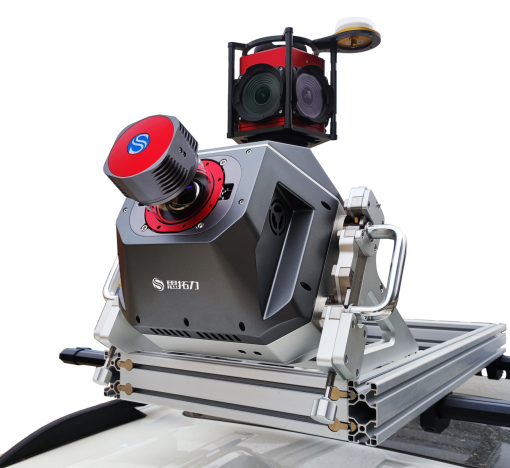
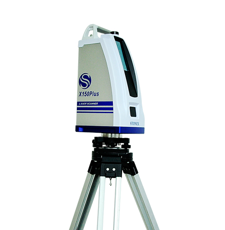
- X150Plus
- X150Plus
- Static type
- Static type
- >40,000 pts/s
- >40,000 pts/s
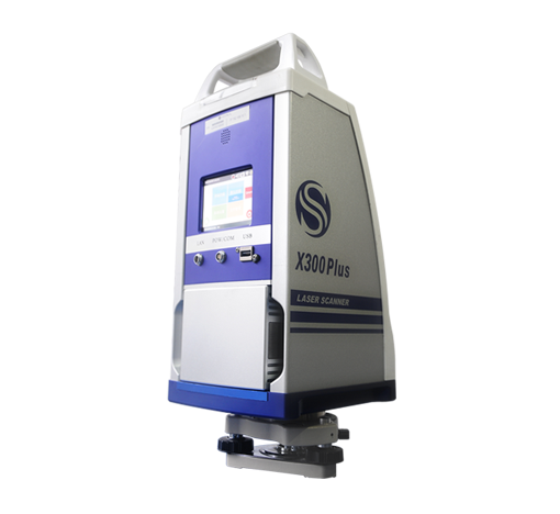
- X300Plus
- X300Plus
- Static type
- Static type
- >40,000 points/sec
- >40,000 points/sec
Get a quote
Get a quote for RS10
Tell us how many units and where they ship. An engineer replies with price, lead time and freight within 24 hours.
- Reply within 24 hours
- Original units with serial numbers
- Local coordinate system preset
Reply within 24 h · Original units · Local datum preset