
UniStrong
G639 Rugged BeiDou Handheld Terminal
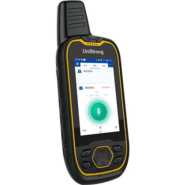
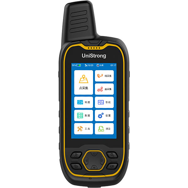
The Jisibao G639 is a new-generation BeiDou handheld terminal launched by UniStrong. Equipped with a high-precision helical antenna, a professional positioning module, a 3.2-inch high-brightness touchscreen with physical keys, a professional operating system, and customized software, it delivers user-friendly interaction, powerful capabilities, industrial-grade rugged protection,…
- 72
- Channels
- IP68
- Ingress Protection
- 1Hz
- Update Rate
Original UniStrong unit·Authorized distributor
Overview
About the G639
Specifications
The G639 is a new-generation BeiDou handheld GIS receiver introduced by UniStrong. Equipped with a high-precision helix antenna, professional positioning module, 3.2-inch high-brightness touchscreen and physical keypad, professional operating system, and customized functional software, it offers a user-friendly interface, powerful performance, industrial-grade rugged protection, and long battery life to meet the standard data collection needs of GIS users.
Full-Constellation Tracking
Supports BeiDou, GPS, GLONASS, and Galileo satellite signals, delivering accurate and fast positioning, with support for standalone BeiDou-only operation.
Quad-Core Processor
Powered by a high-efficiency 1.1 GHz quad-core processor built on an advanced process node, ensuring high computational efficiency while reducing power consumption.
Large Storage Capacity
Built-in 8 GB internal storage with a standard 8 GB memory card, meeting the demands of massive data storage.
High-Brightness Sunlight-Readable Screen
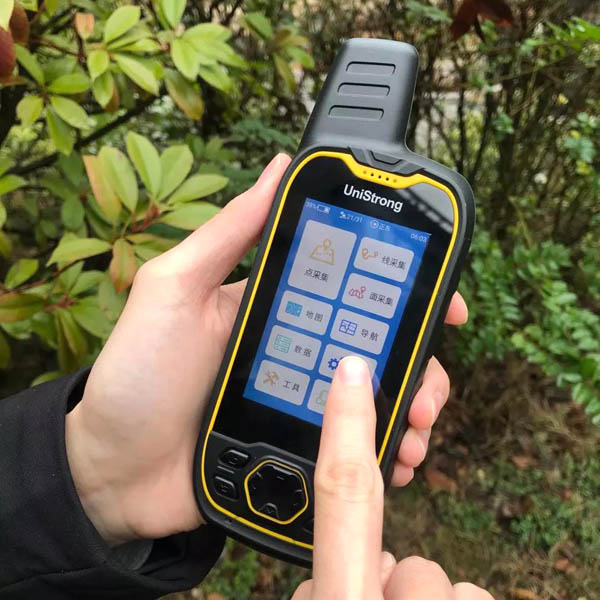
Features a 3.2-inch Blanview sunlight-readable display, clearly visible under direct sunlight, and supports operation with gloves and wet hands.
Specifications
Technical data
Values from the UniStrong datasheet. Ask us for the full sheet or a side by side with another model.
GNSS
- Constellations Tracked
- BDS, GPS, GLONASS, GALILEO, SBAS
- Channels
- 72
- Positioning Modes
- BDS/GPS/GPS+BDS/GPS+GLONASS/GPS+GALILEO
- Antenna Type
- Helix antenna
- Positioning Accuracy
- Single point: 2-5 m; SBAS: 1-3 m
- Update Rate
- 1Hz
System
- OS Version
- Customized OS based on Android 7.0
- Processor
- Quad-core 1.1 GHz processor
Storage
- RAM
- 1GB
- ROM
- 8GB, supports TF card expansion
Display
- Screen Size
- 3.2 inches, supports glove and wet-hand operation
- Resolution
- 480*800, Blanview sunlight-readable screen
Camera
- Resolution
- 8 MP with autofocus
- Flash
- Dual LED flash
Power Supply
- Battery
- Built-in 4000 mAh Li-ion battery, supports power bank charging
- Operating Time
- 16 hours
Data Communication
- Data Interface
- Type-C port, supports NMEA data output
- Wireless Communication
- Bluetooth / Wi-Fi
Protection
- Ingress Protection
- IP68
- Drop Resistance
- 1.8 m drop resistance
- Operating Temperature
- -20℃ to +60℃
- Storage Temperature
- -30℃ to +70℃
Sensors
- Electronic Compass
- Supported
- Barometer
- Supported
Physical Specifications
- Dimensions
- 174*66*32
- Keypad
- Navigation key + 4 function keys + 1 side key
Software Features
- Data Collection
- Point, line, and polygon spatial data collection, attribute collection, supports custom feature libraries
- Measurement
- Length, perimeter, and area measurement and calculation
- Navigation
- Straight-line navigation, route navigation
- Maps
- Built-in nationwide navigation electronic maps, supports contour loading, supports Baidu online and offline maps
- Tracks
- Supports track logging
- Data Formats
- Supports KML, SHP, and Excel data export
- Coordinate Systems
- Supports common coordinate systems including CGCS2000, supports multi-coordinate system display
Related
All controllers and GISView all
Similar controllers and GIS
Get a quote
Get a quote for G639
Tell us how many units and where they ship. An engineer replies with price, lead time and freight within 24 hours.
- Reply within 24 hours
- Original units with serial numbers
- Local coordinate system preset
Reply within 24 h · Original units · Local datum preset