
UniStrong
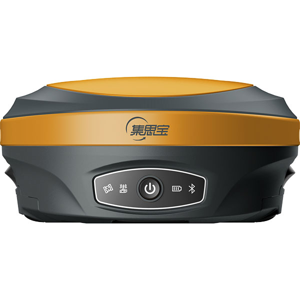
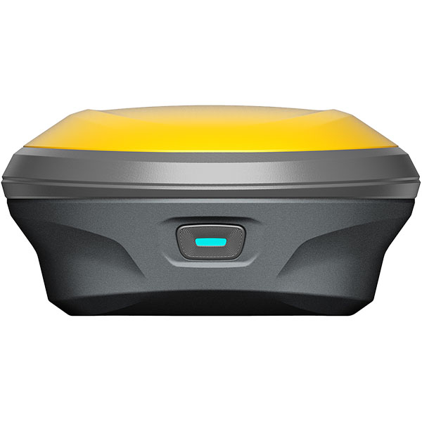
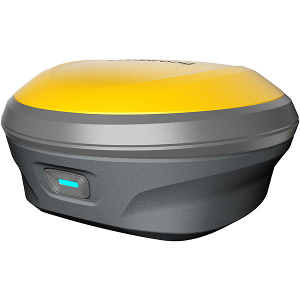
G960 Lite IMU Surveying GNSS Receiver
The G960 Lite is an IMU RTK receiver equipped with a high-performance, high-precision positioning OEM board, providing full-constellation, full-frequency GNSS signal tracking with comprehensive support for the BeiDou satellite navigation system. Featuring narrowband anti-jamming technology and automatic ionospheric optimization, it meets surveying demands in complex…
- 400 Hz
- IMU Update Rate
- 1000 g
- Weight
- 0° – 60°
- Tilt Angle
Original UniStrong unit·Authorized distributor
Overview
About the G960 Lite
The G960 Lite is an IMU RTK receiver equipped with a high-performance, high-precision positioning OEM board, providing full-constellation, full-frequency GNSS signal tracking with comprehensive support for the BeiDou satellite navigation system. Featuring narrowband anti-jamming technology and automatic ionospheric optimization, it meets surveying demands in complex environments. Equipped with fourth-generation IMU tilt measurement technology, it enables instant surveying upon carrying the pole and stakeout on the move, significantly improving field engineering stakeout efficiency.
Specifications
The G960 Lite is an IMU RTK receiver equipped with a high-performance, high-precision positioning OEM board that provides full-constellation, full-frequency GNSS signal tracking and comprehensive support for the BeiDou satellite navigation system. Supporting narrowband anti-jamming technology and automatic ionospheric optimization, it meets surveying requirements in complex environments. Equipped with 4th-generation IMU tilt compensation technology, it allows immediate measurement upon pole placement and continuous walking stakeout, significantly improving field engineering stakeout efficiency.
Equipped with an OEM board powered by a high-performance, high-precision GNSS SoC chip, it ensures signal reception quality while supporting full-constellation, full-frequency GNSS signals including BeiDou, GPS, GLONASS, Galileo, and QZSS, enabling rapid acquisition, tracking, and processing of GNSS satellite signals.
Integrating 4th-generation IMU tilt compensation technology, it is immune to magnetic interference and requires no leveling bubble centering. Measure immediately upon pole placement and perform walking stakeout while ensuring reliable survey accuracy.
● Stable Signal: Supports narrowband anti-jamming technology and automatic ionospheric optimization, actively detecting and effectively suppressing internal and external interference signals. ● One-Click Fix: One-click configuration of national CORS differential services delivers an instant fixed solution upon startup, supporting direct surveying in CGCS2000 and various coordinate systems. ● Dual Data Backup: Survey data supports dual backup across both the data controller and receiver, providing dual protection for data safety. ● Industrial-Grade Protection: IP67 industrial protection provides comprehensive defense even against prolonged water immersion.
Equipped with professional eSurvey surveying software, it satisfies various stakeout workflow requirements such as road construction, power line surveying, site leveling control, CAD applications, and railway stakeout, significantly boosting engineering survey efficiency.
Specifications
Technical data
Values from the UniStrong datasheet. Ask us for the full sheet or a side by side with another model.
GNSS Performance
- Tracking Characteristics
- BDS: B1I, B2I, B3I, B1C, B2a, B2b, ACEBOC, BDSBAS-B1C, BDSBAS-B2a; GLONASS: G1, G2, G3; QZSS: L1C/A, L1C, L2C, L5; GPS: L1C/A, L1C, L1P, L2C, L2P, L5; Galileo: E1, E5a, E5b, ALTBOC, E6; Supports: SBAS, L-Band (Commercial PPP services)
- RTK Keep / Continuous Surveying
- Supported
Accuracy Specifications
- Static Surveying
- Horizontal: ±(2.5 + 0.5 × 10^-6 D) mm; Vertical: ±(5 + 0.5 × 10^-6 D) mm
- RTK Surveying
- Horizontal: ±(8 + 1 × 10^-6 D) mm; Vertical: ±(15 + 1 × 10^-6 D) mm
IMU Tilt Compensation
- Compensation Accuracy
- 8 mm + 0.3 mm/° tilt (<2 cm accuracy within 30°)
- Tilt Angle
- 0° – 60°
- IMU Update Rate
- 400 Hz
System Platform
- Operating System
- Industrial-grade Linux OS
- Internal Storage
- Onboard 8 GB memory
- Bluetooth
- Bluetooth BT 5.0, backward compatible with BLE (Bluetooth Low Energy)
- Wi-Fi
- 802.11 b/g/n
Electrical Specifications
- Battery
- 3.6 V, 12,000 mAh, 43.2 Wh
- Operating Time
- 9 h (base station UHF radio mode); 13 h (rover mode)
Data Interfaces
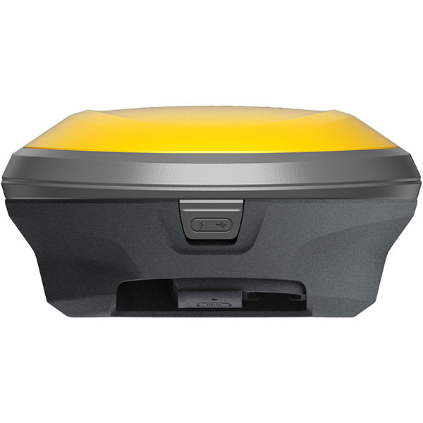
- Type-C
- For direct charging and data transmission
- SIM Card Slot
- Standard SIM card insert slot
Physical Characteristics
- Button
- 1 multi-function power button
- Dimensions
- 148 mm × 74.5 mm
- Indicator Lights
- 1 multi-function indicator
- Weight
- 1000 g
- Material
- Magnesium alloy housing
Environmental Specifications
- Operating Temperature
- -30°C to +65°C
- Storage Temperature
- -40°C to +80°C
- Waterproof and Dustproof
- IP67
- Humidity
- 100% non-condensing (resists 99.9% condensation)
- Drop Resistance
- Withstands 2 m pole drop onto hardwood floor at ambient temperature; 1.2 m free drop
Related
All GNSS RTK receiversView all
Similar GNSS RTK receivers
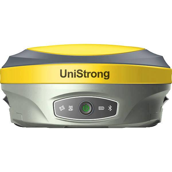
- Channels
- 800
- Input Voltage
- 9–28 V DC
- Operating System
- Linux
Get a quote
Get a quote for G960 Lite
Tell us how many units and where they ship. An engineer replies with price, lead time and freight within 24 hours.
- Reply within 24 hours
- Original units with serial numbers
- Local coordinate system preset
Reply within 24 h · Original units · Local datum preset