
UniStrong
H7 Handheld SLAM 3D Laser Scanner
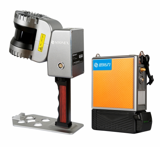
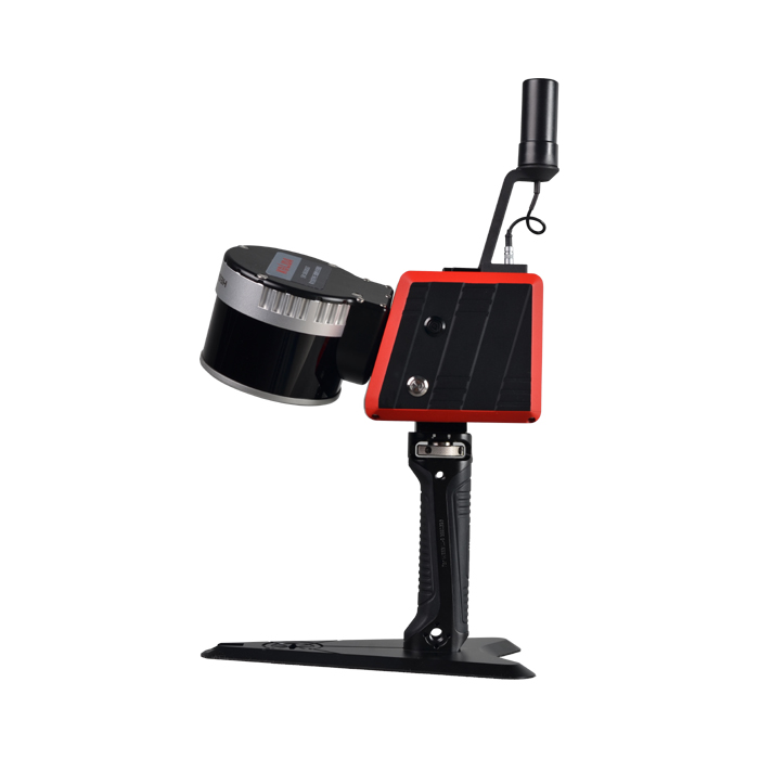
The H7 is a portable handheld 3D laser scanner co-developed by Stonex and the European STONEX team. Powered by SLAM technology without reliance on GNSS positioning, the system performs 3D environmental reconstruction across indoor and outdoor spaces, enabling operators to capture centimeter-level point clouds on…
- 120m
- Max Range
- 32-line
- Channels
- 3–4 cm
- System Accuracy
Original UniStrong unit·Authorized distributor
Overview
About the H7
Specifications
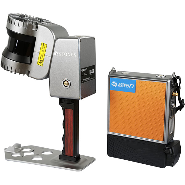
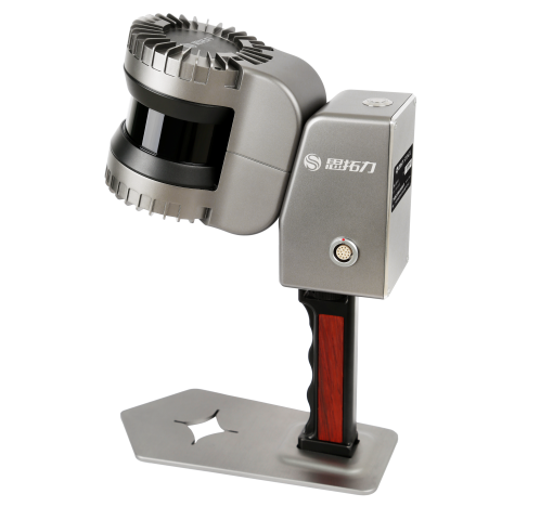
The H7 is a portable handheld 3D laser scanner jointly developed by Stonex and the European STONEX team. Powered by SLAM technology without reliance on GNSS positioning, the system performs 3D environmental reconstruction across both indoor and outdoor spaces, enabling operators to acquire centimeter-level point clouds on the move.
With its compact, portable design and high precision, the H7 portable handheld 3D laser scanner is widely applied in stockpile volume calculation, building facade surveying, digital parks, forestry inventory, landscaping as-built acceptance, underground parking facilities, mine surveying, tunnel applications, and more.
Product Features:
● Compact and lightweight for convenient mobile surveying; ● Powered by an all-new high-precision SLAM algorithm; ● 360° x 270° ultra-wide field of view with rotating scanning; ● Intelligent, integrated instrument control system, easy to learn and operate; ● Jointly developed by Sino-European teams, backed by a 2-year warranty and dependable after-sales service; ● Multi-terminal control supported across smartphones, tablets, and PCs; ● Proprietary Si-Scan point cloud processing software enables multi-scenario applications; ● Universal smart battery with ultra-low power consumption and low maintenance costs.
Supporting Software
Equipped with Si-Slam data processing software, which allows scenario-specific parameter configuration for point cloud reconstruction. Combined with Stonex's proprietary Si-Scan point cloud processing software, it supports point cloud measurement, editing, volume calculation, and seamless integration with third-party software for drafting, 3D modeling, and other applications.
Specifications
Technical data
Values from the UniStrong datasheet. Ask us for the full sheet or a side by side with another model.
- Max Range
- 120m
- Channels
- 32-line
- Scan Rate
- 655,000 pts/s
- Laser Safety Class
- Class 1 eye-safe laser
- Field of View (FOV)
- 360° × 270°
- System Accuracy
- 3–4 cm
- Positioning & Mapping
- LiDAR SLAM mapping technology
- Processing Mode
- Post-processing
- Storage Capacity
- 1TB
- Power Supply
- DC 12–24V / 20–25W
- Battery Life
- Standard with 1 battery, approx. 3 hours continuous operation per battery
- Weight
- Handheld unit: 1.54 kg, Main unit: 1.0 kg (excluding battery: 0.334 kg)
- Operating Temperature
- -20℃ to 60℃
- Housing Material
- Aviation-grade aluminum (high protection, high anti-interference)
- Dimensions
- Main unit: 185 × 144.5 × 52 mm; Handheld unit: 295 × 197 × 99.7 mm
Get a quote
Get a quote for H7
Tell us how many units and where they ship. An engineer replies with price, lead time and freight within 24 hours.
- Reply within 24 hours
- Original units with serial numbers
- Local coordinate system preset
Reply within 24 h · Original units · Local datum preset