
UniStrong
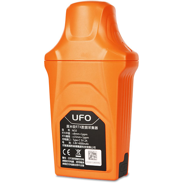
M10 Centimeter-Level Data Collector
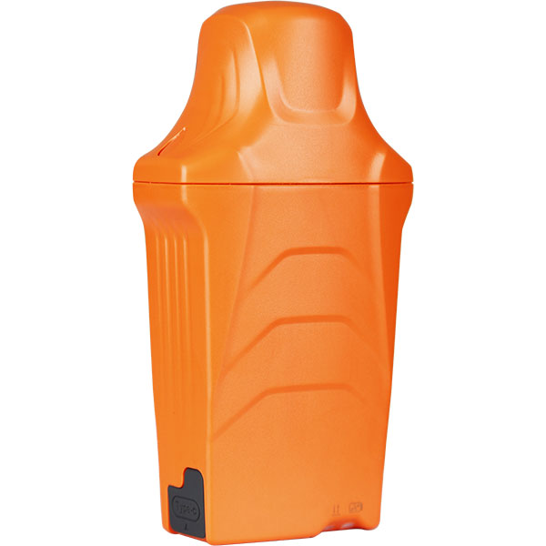
As a new-generation centimeter-level data collection terminal, the M10 adopts GNSS + IMU integrated high-precision positioning technology to achieve efficient and reliable centimeter-level positioning accuracy. It supports IMU tilt compensation, fully supports the BeiDou navigation satellite system, and delivers fast fix speeds and high precision.
- IP67
- Ingress Protection
- ≤ 160 g
- Weight
- ≤ 10 s
- Initialization Time
Original UniStrong unit·Authorized distributor
Overview
About the M10
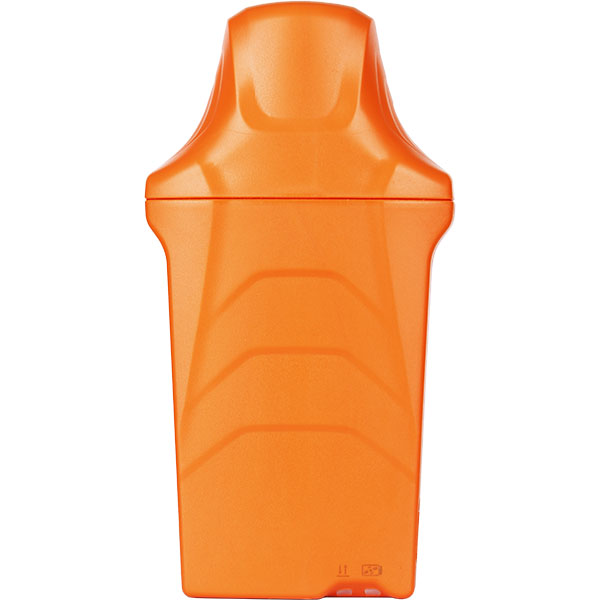
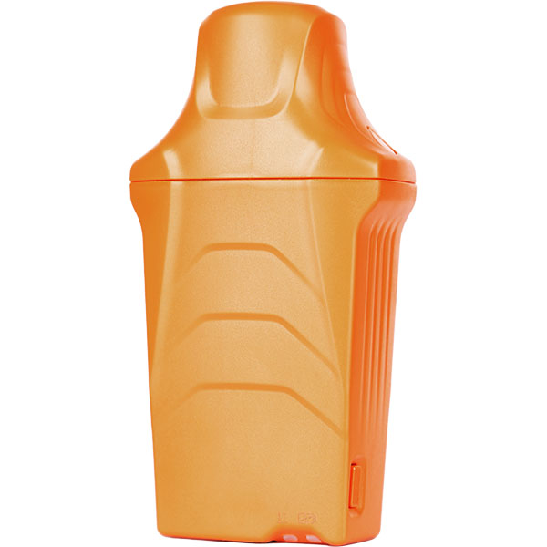
As a new-generation centimeter-level data collection terminal, the M10 adopts GNSS + IMU integrated high-precision positioning technology to achieve efficient and reliable centimeter-level positioning accuracy. It supports IMU tilt compensation, fully supports the BeiDou navigation satellite system, and delivers fast fix speeds and high precision. The device is compact, lightweight, easy to carry, and features long battery life.
Specifications
As a new-generation centimeter-level data acquisition terminal, the M10 adopts GNSS + IMU integrated high-precision positioning technology to achieve efficient and reliable centimeter-level positioning accuracy. It supports IMU tilt compensation, fully supports the BeiDou satellite navigation system, and features fast fix speeds and high precision. The device is compact, lightweight, portable, and offers long battery life.
The M10 is equipped with a low-power GNSS all-constellation multi-frequency high-precision positioning module that can simultaneously track signals from BeiDou, GPS, GLONASS, Galileo, and QZSS. With all-constellation processing and RTK support, it achieves centimeter-level positioning accuracy.
High-Performance Integrated Antenna
The M10 features a built-in five-constellation full-frequency high-gain quadrifilar helix GNSS antenna, a Nano-SIM card slot, 4G full Netcom support, and a built-in Bluetooth module, delivering more stable positioning and longer communication ranges.
New-Generation IMU
As a new-generation data collector, the M10 supports IMU tilt compensation; the pole-tip positioning accuracy is ≤3 cm at 30° tilt and ≤5 cm at 60° tilt.
High-Capacity Li-Polymer Battery
The receiver is equipped with a built-in 4000 mAh / 3.8 V high-capacity lithium-polymer battery, providing no less than 10 hours of operating time in network rover mode.
Specifications
Technical data
Values from the UniStrong datasheet. Ask us for the full sheet or a side by side with another model.
GNSS Performance
- Tracking Characteristics
- BDS: B1I, B2I, B3I, B1C, B2a, B2b GPS: L1C/A, L2P(Y), L2C, L5 GLONASS: L1, L2 Galileo: E1, E5a, E5b, E6 QZSS: L1, L2, L5, L6
- Positioning Accuracy
- Horizontal: ±(8 + 10^-6 × D) mm Vertical: ±(15 + 10^-6 × D) mm
- Time to First Fix
- Cold start ≤ 30 s, Hot start ≤ 3 s
- Update Rate
- up to 20 Hz
- Initialization Time
- ≤ 10 s
Tilt Survey
- Positioning Accuracy
- Pole tip accuracy ≤ 3 cm (30°), pole tip accuracy ≤ 5 cm (60°)
Data Communications
- Data Interface
- Type-C data communication interface (power interface)
- Bluetooth
- V4.2, backward compatible with BLE
- Wi-Fi
- 802.11b/g/n
- Cellular
- Nano-SIM card, full Netcom 4G, supports China Mobile, China Telecom, China Unicom LTE-CAT1 LTE FDD: B1/B3/B5/B8 TD-LTE: B34/B38/B39/B40/B41 GSM: B3/B5/B8
Environmental Specifications
- Operating Temperature
- -20℃ ~ 65℃
- Storage Temperature
- -40℃ ~ 80℃
- Ingress Protection
- IP67
- Drop Resistance
- Designed to survive a 2 m pole drop onto hardwood floor at ambient temperature, 1.6 m free drop
- Humidity
- 100% non-condensing
Power Supply
- Power Source
- Built-in 4000 mAh / 3.8 V battery
- Charging
- Type-C port DC 5V 2A
- Operating Time
- ≥ 10 hours in network rover mode at room temperature
Physical Specifications
- Dimensions
- 117 mm × 62 mm × 36 mm
- Weight
- ≤ 160 g
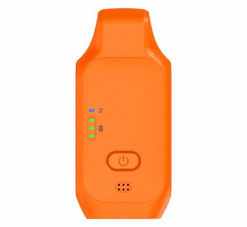
Keys and Indicators
- Keys
- 1 power button
- Indicators
- 1 Bluetooth/datalink indicator, 1 satellite/battery indicator
Related
All controllers and GISView all
Similar controllers and GIS
Get a quote
Get a quote for M10
Tell us how many units and where they ship. An engineer replies with price, lead time and freight within 24 hours.
- Reply within 24 hours
- Original units with serial numbers
- Local coordinate system preset
Reply within 24 h · Original units · Local datum preset