
UniStrong
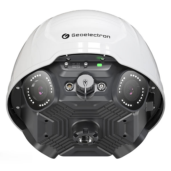
MIS50 Panoramic GNSS Monitoring Receiver
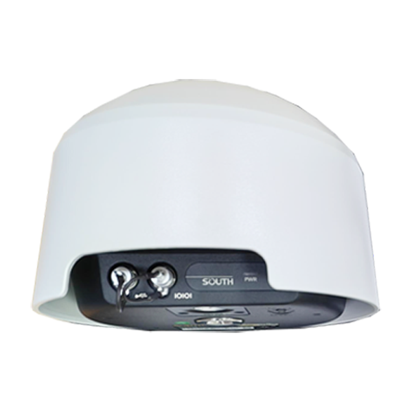
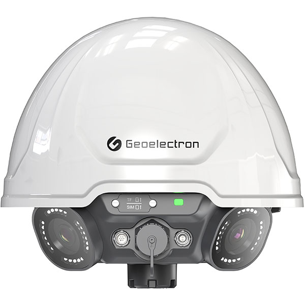
The MIS50 integrated intelligent monitoring terminal combines GNSS positioning technology, MEMS sensing technology, and panoramic imaging technology. Featuring a built-in all-constellation, multi-frequency high-end GNSS positioning module, it enables accurate centimeter- and millimeter-level displacement and deformation monitoring; reliable MEMS sensors provide rapid real-time monitoring of changes…
- 5 MP
- Resolution
- IP68
- Ingress Protection
- 120°
- FOV
Original UniStrong unit·Authorized distributor
Overview
About the MIS50
Specifications
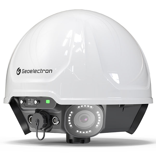
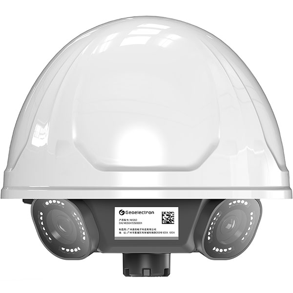
The MIS50 all-in-one smart monitoring terminal integrates GNSS positioning, MEMS sensing, and panoramic imaging technologies. Built with a high-end, all-constellation multi-frequency GNSS positioning module, it enables precise centimeter- and millimeter-level displacement and deformation monitoring. Reliable MEMS sensors monitor changes in angle and acceleration in real time with high responsiveness. Equipped with four wide-angle cameras, it delivers 24/7 high-definition panoramic imaging without blind spots, providing real-time situational awareness on site. This significantly enhances disaster early warning and emergency response capabilities, ensuring all-weather, visual safety monitoring in diverse complex environments.
● Flagship Image Quality, Day and Night Monitoring
Equipped with four 5 MP HD cameras with a 120°–150° field of view (FOV), capturing every on-site detail. Supporting night vision recording, it stably delivers high-quality imagery in both bright daylight and low-light night conditions, meeting the demands of 24/7 continuous monitoring.
Supports quad-camera collaborative operation, generating a complete panoramic view via image stitching technology. It thoroughly covers the monitoring area to eliminate blind angles and provide complete situational awareness, offering comprehensive and intuitive visual support for safety monitoring.
● Real-Time Remote Monitoring with On-Site Clarity
Supports 24/7 remote video surveillance, enabling inspection personnel to view site conditions in real time without being on site. It also provides accurate visual evidence for troubleshooting signal obstructions and tracking environmental changes, effectively reducing on-site operational risks and time costs while achieving efficient, safe remote O&M.
● Complete Historical Logging with Traceable Records
Supports scheduled snapshot capture and local storage. When GNSS displacement occurs or surrounding environmental conditions change, stored photos can be compared and verified, providing reliable visual evidence for monitoring data analysis.
Specifications
Technical data
Values from the UniStrong datasheet. Ask us for the full sheet or a side by side with another model.
GNSS
- Channels
- ≥ 800 channels
- Signal Tracking
- BDS: B1I, B3I, B1C, B2a, B2b, BDSBAS-B1C, BDSBAS-B2a
- Signal Tracking
- GPS: L1C/A, L1C, L1P, L2C, L2P, L5
- Signal Tracking
- GLONASS: G1, G2, G3
- Signal Tracking
- GALILEO: E1, E5a, E5b, E6
- Signal Tracking
- QZSS: L1C/A, L1C, L2C, L5
- Monitoring Accuracy
- Static Accuracy / Horizontal: ±2.5 mm + 0.5 ppm RMS
- Monitoring Accuracy
- Static Accuracy / Vertical: ±5 mm + 0.5 ppm RMS
- Monitoring Accuracy
- Dynamic Accuracy / Horizontal: ±8 mm + 1 ppm RMS
- Monitoring Accuracy
- Dynamic Accuracy / Vertical: ±15 mm + 1 ppm RMS
Wireless Communications
- Bluetooth
- BT 5.0, backward compatible
- Wi-Fi
- 802.11 b/g/n, supports AP and Client modes
- Cellular
- 2G/3G/4G (all networks supported)
- LoRa
- Supported
Camera
- Resolution
- 5 MP
- FOV
- 120°
- Imaging Function
- Supported
- Panoramic Photo
- Supported
- Night Mode
- Supported
Storage/Output
- Internal Storage
- 32 GB, expandable/customizable, supports cyclic storage
- Data Formats
- NMEA-0183, RTCM 3.X, and GNSS raw data
- MEMS Sensor
- Outputs 3-axis acceleration multi-parameter monitoring data
Processing Mode
- Processing Mode
- Supports receiver local front-end processing and server back-end processing; supports dynamic RTK processing and static GNSS processing.
- Processing Frequency
- Supports 1–24 hour static processing cycle configuration, triggered on the hour; supports remote adjustment of monitoring frequency; supports 1–10 Hz dynamic GNSS RTK processing, supports automatic threshold triggering and intelligent configuration
Electrical Specifications
- Voltage Input
- External power supply, DC 9–36 V input, auto power-on when energized
- LED Indicator
- 1 RGB tricolor indicator: red on power-up, green when network is connected, blue when Bluetooth is connected
- Battery
- Built-in high-performance lithium battery, 20 Ah
- Operating Time
- Typical mode: 24 hours *
Device Interfaces
- 2-Pin Interface
- External power input interface
- 7-Pin Interface
- RS485 + RS232 + power output + GND
- Ethernet Port
- RJ45 Ethernet port
- Card Slots
- 1 SIM card slot, 1 TF card slot
Physical Specifications
- Dimensions
- 223 × 200 mm
- Weight
- Approx. 2 kg
Hardware Specifications
- Operating Temperature
- -30°C to +65°C
- Storage Temperature
- -40°C to +80°C
- Ingress Protection
- IP68
- Humidity
- 100% condensation-resistant
Related
All monitoring systemsView all
Similar monitoring systems
ComNav
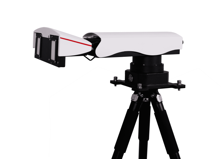
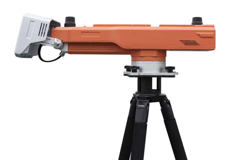
MS-SAR5000
Advanced slope stability monitoring radar developed by ComNav Technology Co., Ltd. This cutting-edge system…
ComNav
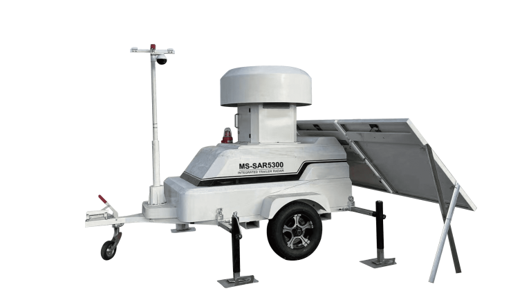
MS-SAR5300
Trailer-mounted radar monitoring station designed to adapt to dynamic monitoring needs in large open-pit…
Get a quote
Get a quote for MIS50
Tell us how many units and where they ship. An engineer replies with price, lead time and freight within 24 hours.
- Reply within 24 hours
- Original units with serial numbers
- Local coordinate system preset
Reply within 24 h · Original units · Local datum preset