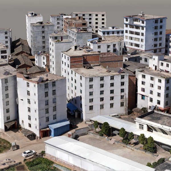
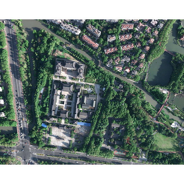
The 3D real-scene model is generated by capturing multi-directional real-scene photos of the target, performing aerial triangulation calculations and bundle adjustment via office processing software, and finally conducting 3D reconstruction. It delivers a 1:1 reproduction of the external features of target objects or landforms.
Dispatch in 3 to 7 working daysShips in 3–7 days · DDP / CIF / FOB
DDP / CIF / FOB to most countries
Local coordinate system preset before shipping
Overview
About the OSGB
The 3D real-scene model is generated by capturing multi-directional real-scene photos of the target, performing aerial triangulation calculations and bundle adjustment via office processing software, and finally conducting 3D reconstruction. It delivers a 1:1 reproduction of the external features of target objects or landforms. Through the 3D real-scene model data, 3D spatial information can be acquired arbitrarily. As 3D data featuring both absolute and relative positioning accuracy, it allows measurement of multiple attribute information including length, slope, area, volume, cross-sections, and profile drawings, offering users an intuitive visual presentation. Based on different operational requirements, products are available in multiple scales such as 1:500, 1:1000, and 1:2000.
Specifications
Reality 3D models are generated by capturing multi-angle real-world imagery of targets, performing aerial triangulation and bundle adjustment in office software, and ultimately completing 3D reconstruction. This achieves a 1:1 scale restoration of the external features of target objects or landforms. Reality 3D model data allows arbitrary extraction of 3D spatial information with both absolute and relative positioning accuracy, enabling measurement of diverse attributes including length, slope, area, volume, cross sections, and profile views while delivering an intuitive visual representation. Depending on application requirements, products are available in 1:500, 1:1,000, and 1:2,000 mapping scales.
● True-to-Life Environmental Representation: Compared to orthophotos, oblique imagery allows users to observe ground features from multiple perspectives, realistically reflecting real-world conditions and significantly overcoming the limitations of conventional orthophoto applications.
● Direct Measurement Capability: With dedicated software, users can perform direct measurements on the 3D model—including height, length, area, angle, and slope—expanding the industry applications of oblique photogrammetry technology.
● Lightweight Data for Easy Web Publishing: Compared to massive traditional 3D GIS datasets, reality 3D model data is much more compact. Its formats support web publishing via various established technologies, enabling data sharing and collaborative applications.
● Facade Texture Capture: For diverse 3D scene applications, reality 3D models effectively capture side textures, building facades, and vertical features.
Specifications
Technical data
Values from the UniStrong datasheet. Ask us for the full sheet or a side by side with another model.
3D Reality Model (OSGB)
Scale
Available in various scales including 1:500, 1:1000, and 1:2000