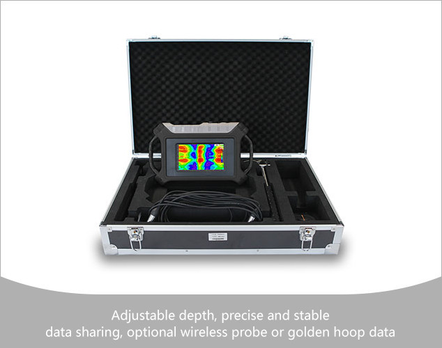
AIDU
Single-Channel Professional Geophysical Survey Equipment
- Channel Option
- 11111
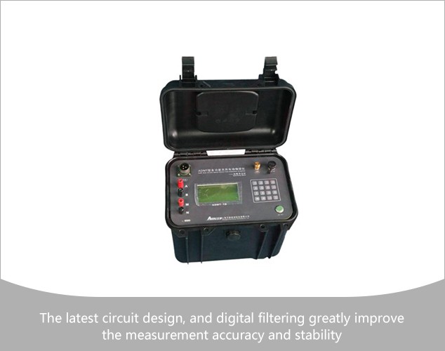
AIDU
Electrical Resistivity Meter
- Parameter
- ADMT-1B
- Voltage resolution
- 0.01uV
- Input impedance
- ≥50MΩ
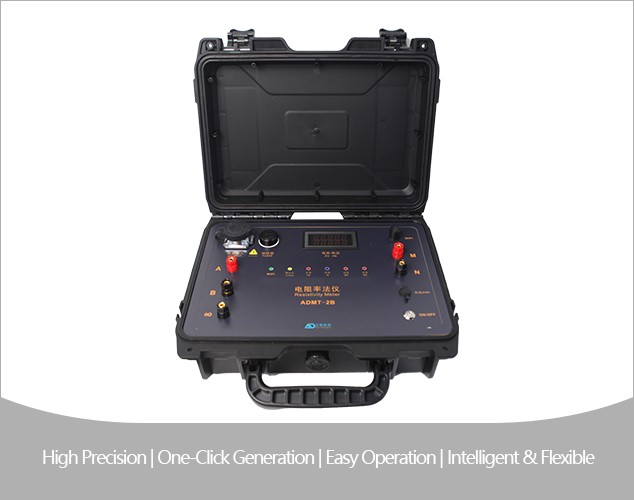
AIDU
Electrical Resistivity Meter
- Model
- ADMT-2B
- Voltage Resolution
- 0.5 μV
- SP Compensation Range
- ±3000 mV
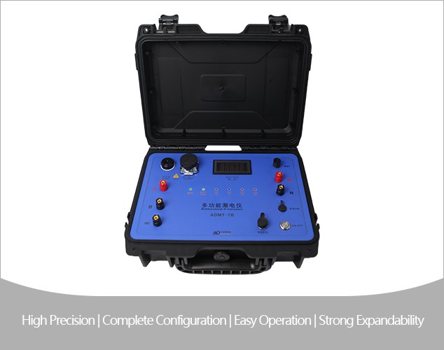
AIDU
Multi-Function Resistivity & IP Survey System
- Model
- ADMT-7B
- Voltage Resolution
- 0.5 μV
- SP Compensation Range
- ±3000 mV
AIDU
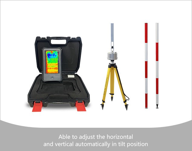
Three-component Magnetometer
- Model
- AMC-10
- Survey Directions
- X/Y/Z Axis
- Rotation Angle Error
- Z≤±10nT、T±20nT
AIDU
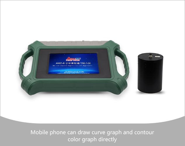
Single Component Fluxgate Magnetometer
- Parameter
- AMC-6
- Range
- ±100000nT
- Resolution
- 0.1-1nT
AIDU
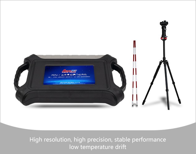
three-component fluxgate magnetometer
- Parameter
- AMC-7
- Range
- ±100000nT
- Resolution
- 0.1-1nT
AIDU
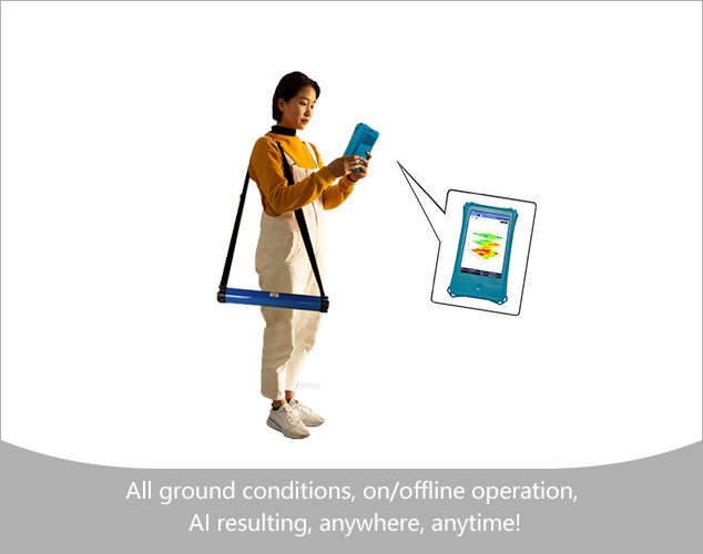
AIDU's Golden Rod Pro is completely wireless and easy to operate with significantly improved…
- Connection
- WIFIWIFIWIFIWIFIWIFI
- TT Iron Core(KmH/m)
- -120200300400
- Freq. Range (hz)
- 1-8K1-8K1-8K1-8K1-8K
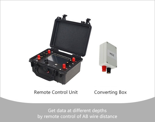
AIDU
Borrowing-line Telecontrol High-density Expansion Survey System
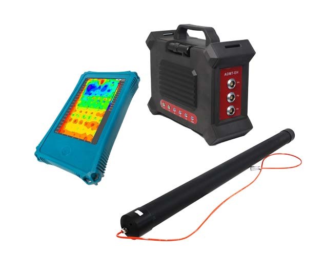
AIDU
The ADMT-EH series magnetotelluric methods meter is an efficient and accurate measurement tool that…
- Resolution
- 800*1280
- OS
- Android 13
- CPU
- RK3568 quad-core
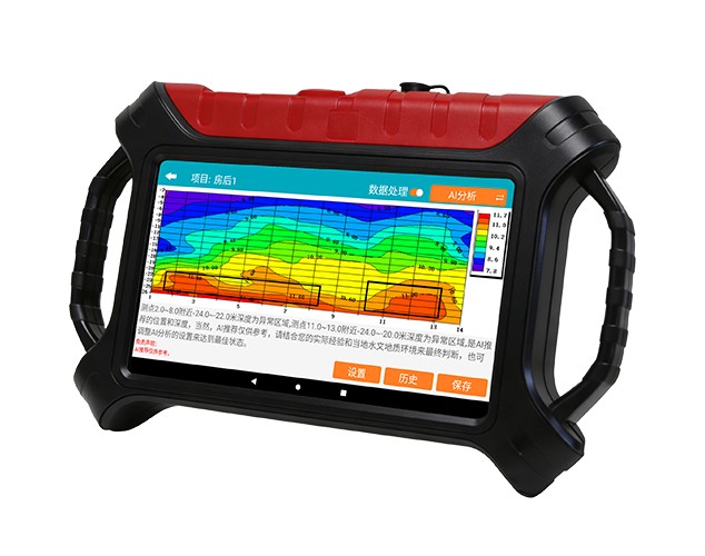
AIDU
Intelligent Data Processing Built-in comprehensive electrical method processing: automatic data handling, imaging, and AI…
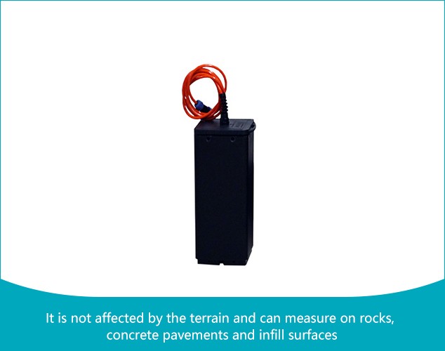
AIDU
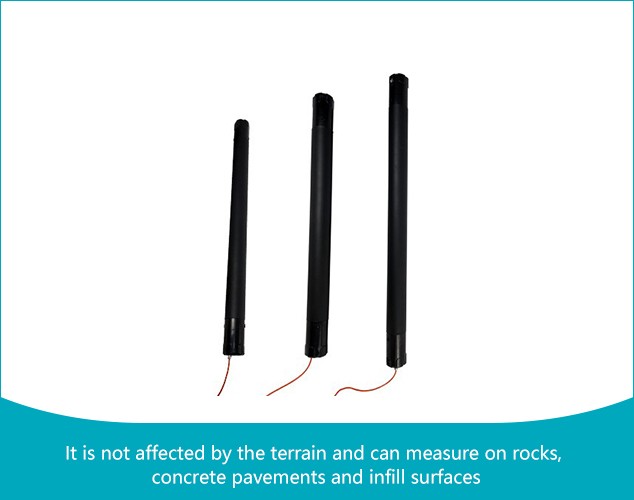
Electromagnetic probe
AIDU
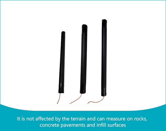
Electromagnetic probe
AIDU
Wired electromagnetic probes are optional and can be used with intelligent hosts, a variety…
- Power
- 8W12W16W
- Weight
- 3.3kg4.5kg5.7kg
- Size
- φ7*73cmφ7*87cmφ7*102cm
AIDU
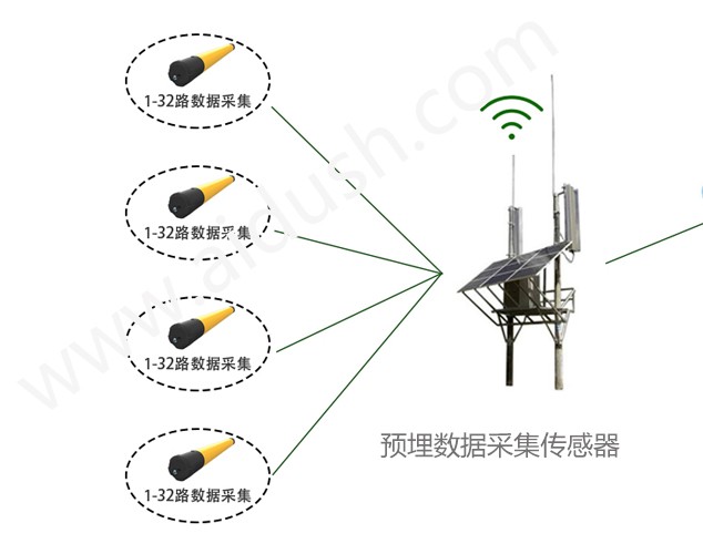
系统中安装在监测现场的ADMT系列堤坝管涌监测仪, 是我公司与桂林理工水文地质勘查研究院联合研制出的全球比较先进的无人值守的在线物探仪, 在线长时间观测,大数据分析解决天然电场随时变化的问题,获取稳定的场源,监测效果好,成本低。 监测数据可以正演、反演数据处理分析,也可以完全在线自动完成。本仪器通过测量天然电磁场的变化, 也可以接收发送机电场信号来了解地下电磁场的变化。通过对电场和电磁场的测量, 来判断空洞、动土、蚁穴、渗漏等广泛应用于文物保护、水利水电、堤坝水库、铁路桥梁、 矿山隧道、海洋边坡、基坑建筑等工程领域的安全监测。
CHCNAV
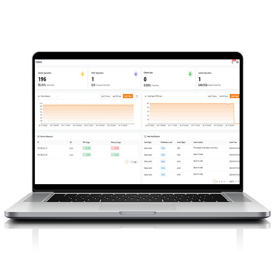
Comprehensive, server-based solution designed to manage and operate GNSS CORS and RTK networks on…
CHCNAV
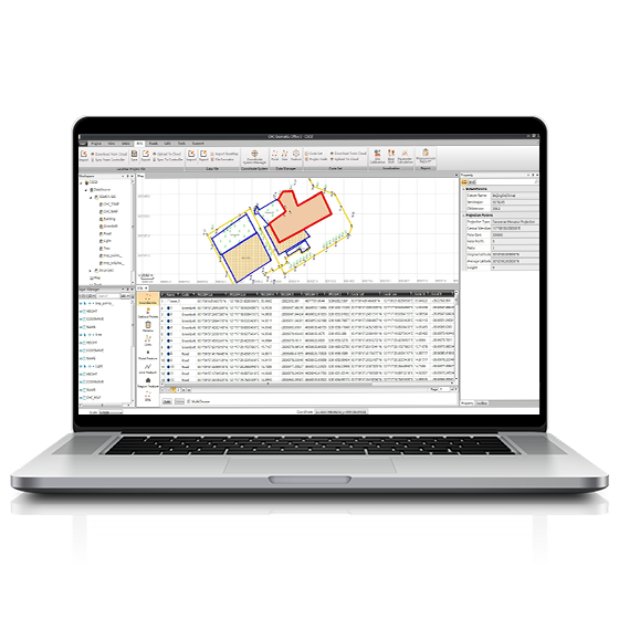
CGO software is designed to edit, process, and analyze GNSS data, delivering high-precision positioning…
- Operating system
- Windows
- Functions
- GNSS data processing
CHCNAV
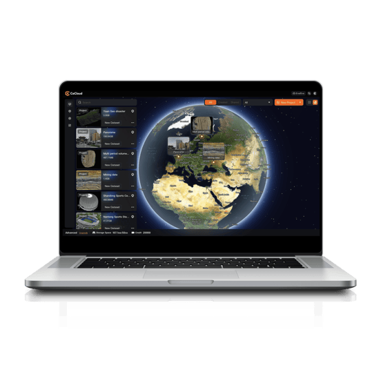
Cloud-based 3D processing and visualization platform that transforms captured spatial data into 3D deliverables.…
- Operating system
- Cloud-Native
- File formats
- .zip
CHCNAV
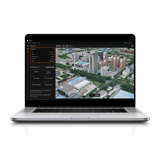
CoMeta is professional photogrammetry and 3D modeling software for UAV mapping and large-scale 3D…
CHCNAV
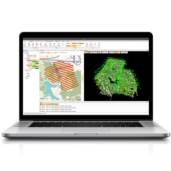
Comprehensive LiDAR processing software developed by CHCNAV for efficient and accurate mobile geospatial data…
- Operating system
- Windows
- Languages
- English, Chinese
CHCNAV
Professional point cloud processing software designed to convert large-scale LiDAR datasets into engineering-ready deliverables.…
CHCNAV
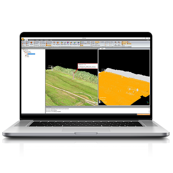
Powerful software solution tailored to the post-processing of massive point cloud data. It seamlessly…
- Operating system
- Windows
- Languages
- English, Chinese,
- File formats
- codata,las, and more.
