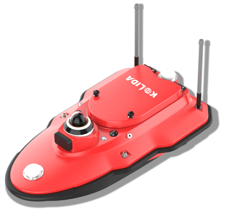
KOLIDA
Unmanned Surface Vehicle
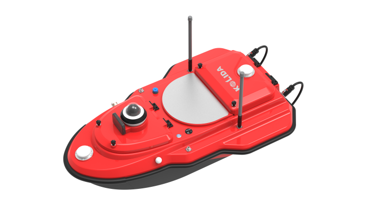
KOLIDA
Unmanned Surface Vehicle
- Draught ≤ 15cm
- Max. Speed 7m /s
- Draught ≤ 15cm
- Max. Speed 7m /s
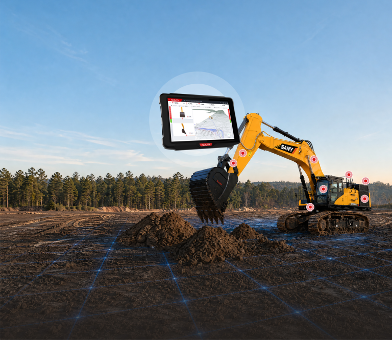
SOUTH
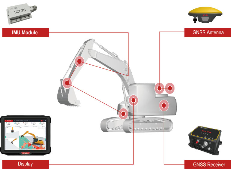
Excavator Guidance System EGS01
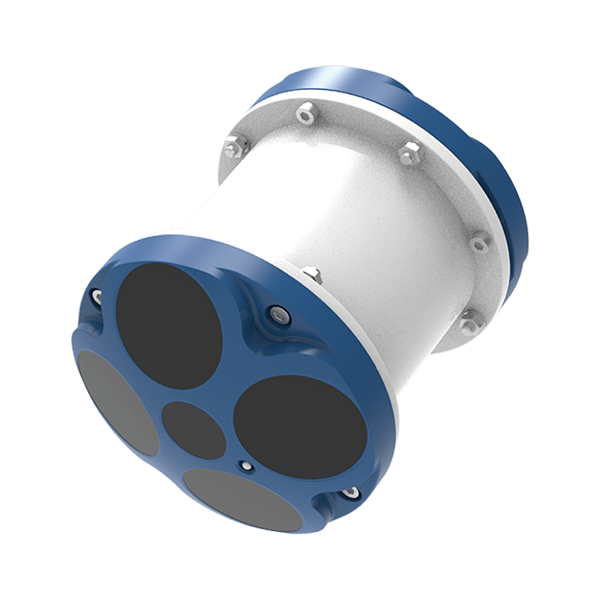
SOUTH
Marine and hydrographic
- Number Of Cells
- 260
- Ping Rate
- Max 20Hz
- Resolution
- 1mm/s
SOUTH
Marine and hydrographic
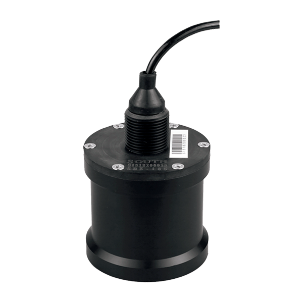
- Sound Frequency
- 200K Hz
- Beam Angle
- 5°
- Depth Range
- 0.4-100m
SOUTH
Marine and hydrographic
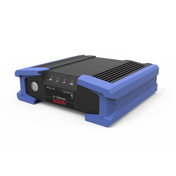
- Power supply
- DC 12V
- IP level
- IP67
- Operating temperature
- -45°C - 60°C
SOUTH
Marine and hydrographic
KOLIDA
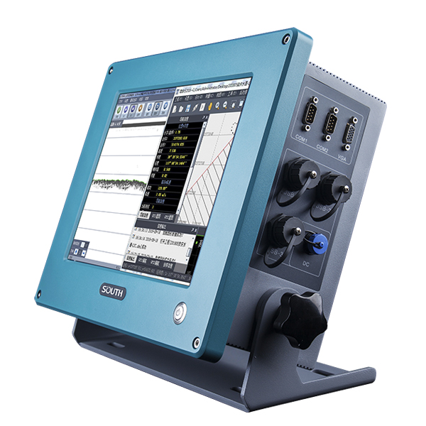
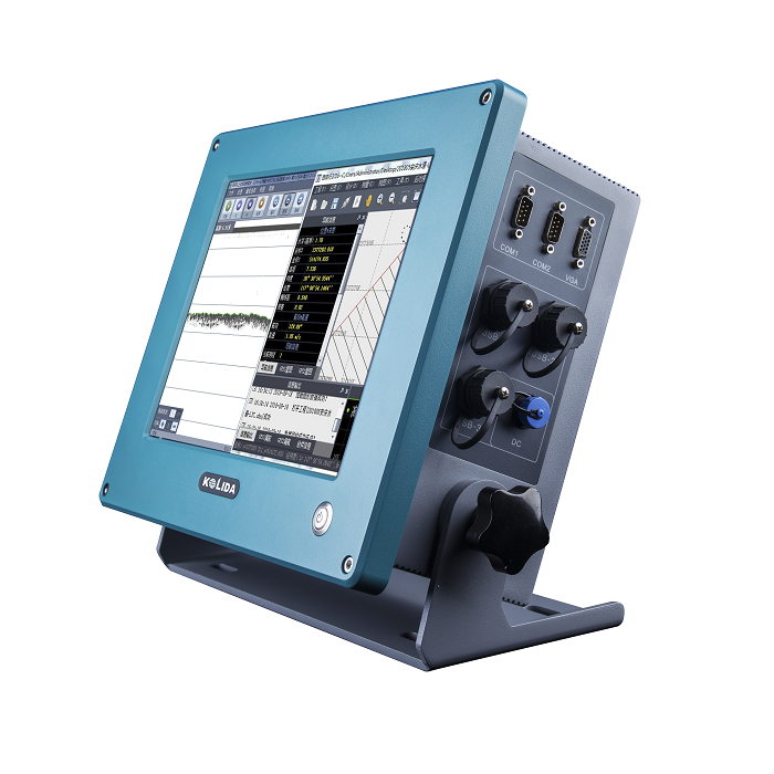
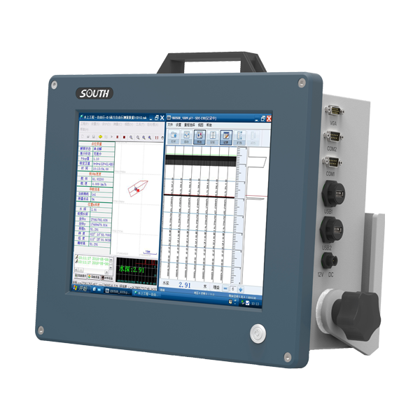
Dual Frequency Digital Echo Sounder Integrated with both computer and echo sounder at industrial…
SOUTH
Marine and hydrographic
SOUTH
Marine and hydrographic
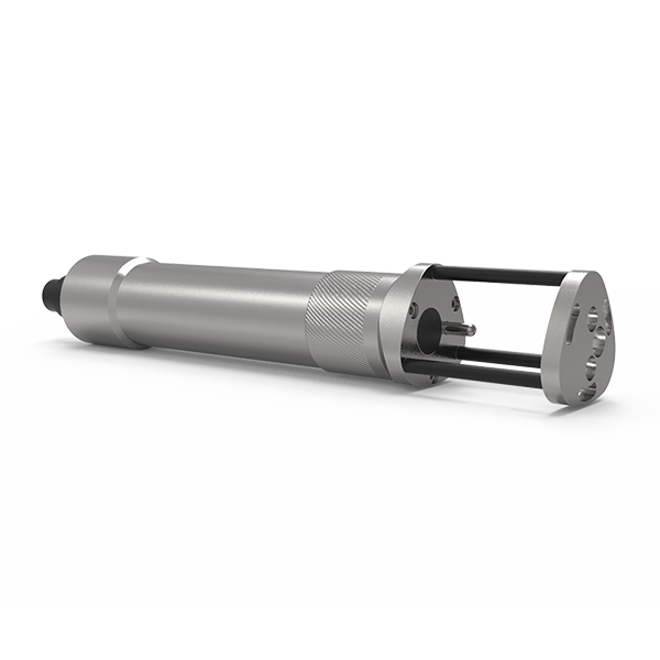
- Sound velocity range
- 1400m/s~1900m/s
- Measurement accuracy
- 0.03m/s
- Acoustic Frequency
- 2MHz
SOUTH
Marine and hydrographic
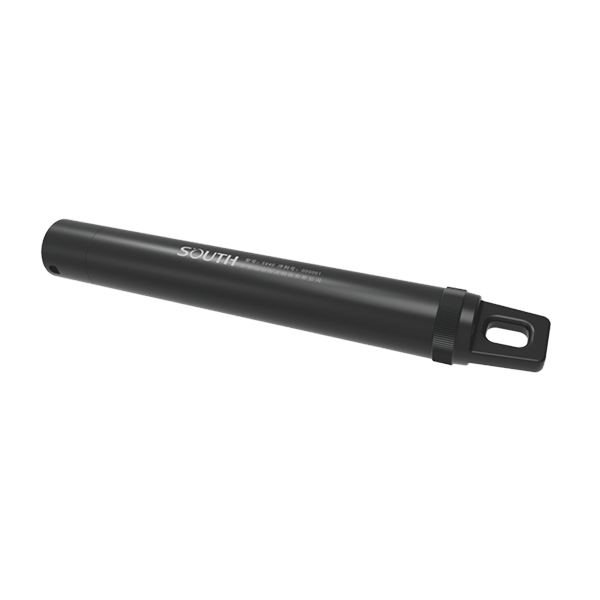
- Pressure accuracy
- ±0.2%FS
- Resolution
- 0.001m
- Temperature range
- -40℃~+120℃
SOUTH
Marine and hydrographic
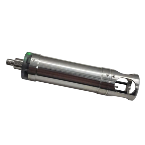
- Velocity Range
- 1375-1900 m/s
- Velocity Resolution
- 0.001 m/s
- Velocity Accuracy
- ±0.02 m/s
SOUTH
Marine and hydrographic
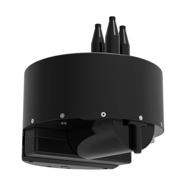
- Model
- T400S
- Frequency
- 400kHz
- Swath Coverage
- Up to 140°
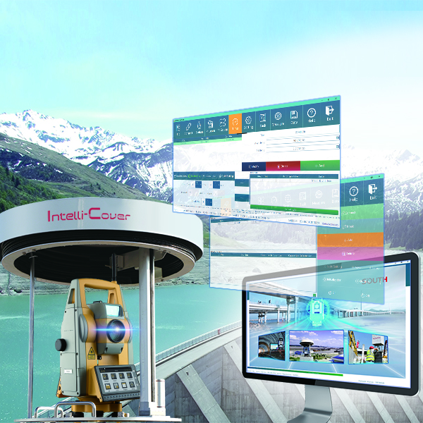
- Voltage
- DC12V
- Communication
- RS485
- External dimensions
- Φ530mm*588mm
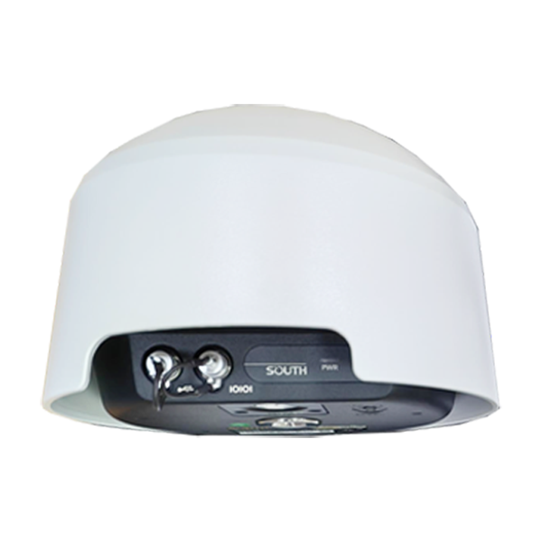
- Channel
- 1598 channels
- GPS
- L1C/A, L2C, L2E, L5
- GLONASS
- L1, L2, L3
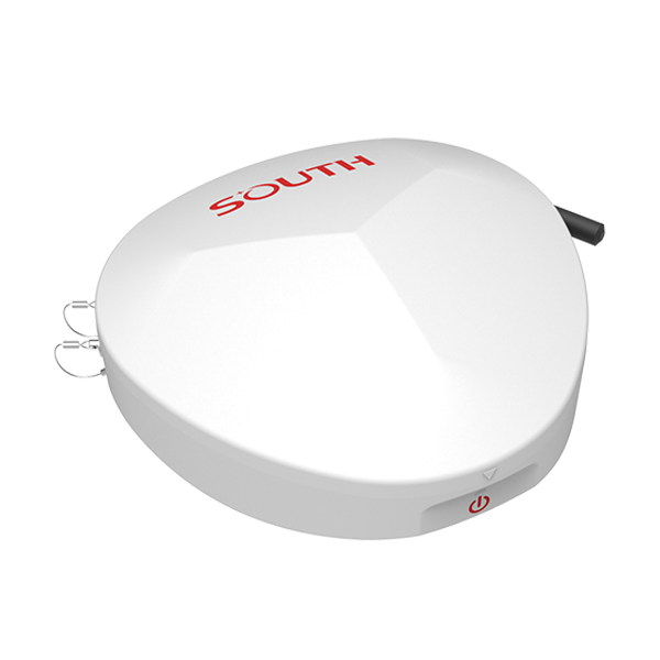
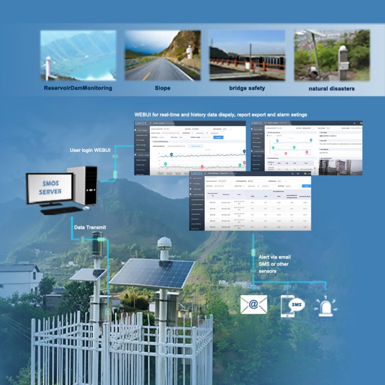
- Collected Interval
- 0s~24h
- Upload interval
- 0s~72h
- Output
- RS485, 3/4G
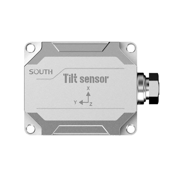
- Model
- TA-H TA-L
- Voltage
- DC 5 ~ 30V
- Power
- Less than 5mA@12V
KOLIDA
The EGS01 uses GNSS and IMU sensors to deliver real-time 3D guidance for precise…
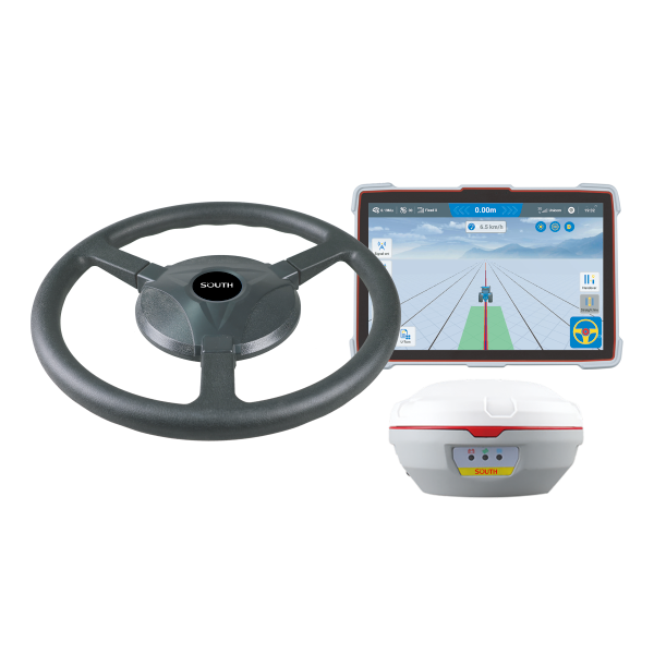
SOUTH
Precision agriculture
- Velocity accuracy
- <0.02 m/s
- Initialization Time
- <10 s
- Pass to pass accuracy
- ±2.5cm
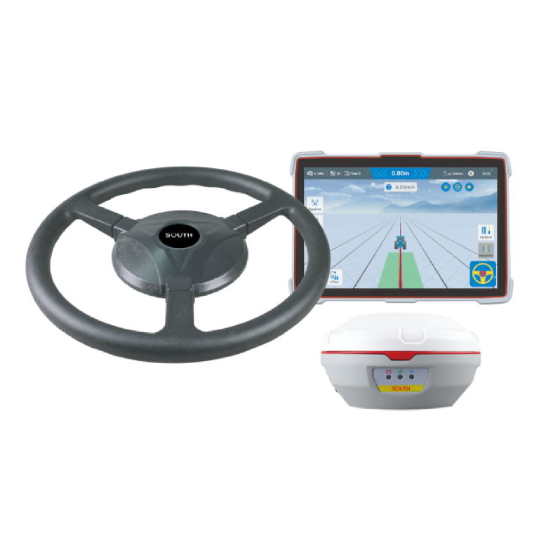
KOLIDA
The SAG600 is an automated steering system that uses a smart antenna.
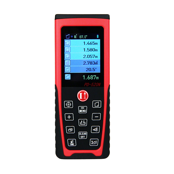
KOLIDA
30m- 200m optional. PD-520N is with Bluetooth function.
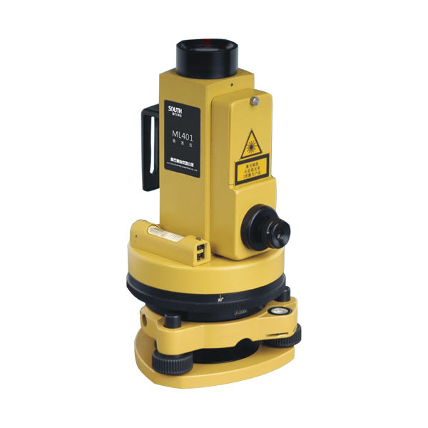
- Laser Pointer
- 1/45000
- Laser Plumb
- 1/2000
- Image
- Reverse
