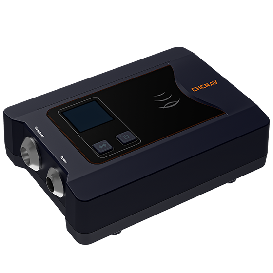
CHCNAV
Cost-effective single-beam echosounder designed for precision and ease, featuring an integrated water temperature sensor…
- Type
- Single beam, 200 kHz
- Range
- 0.15 to 200 m
- Resolution
- ±0.01 m + 0.1% x D
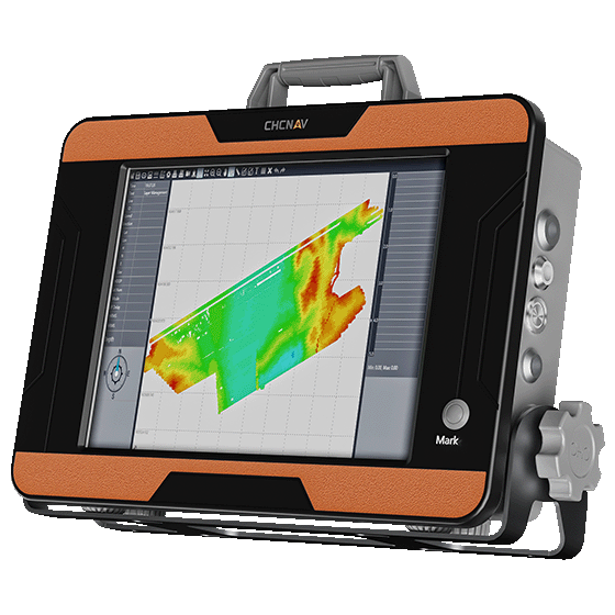
CHCNAV
Portable and cost-effective bathymetric system designed for professional hydrographic surveys. Equipped with a high-performance…
- Type
- Single beam, 200 kHz
- Range
- 0.15 to 300 m
- Resolution
- ±0.01 m + 0.1% x D
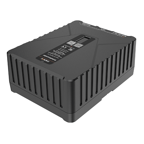
CHCNAV
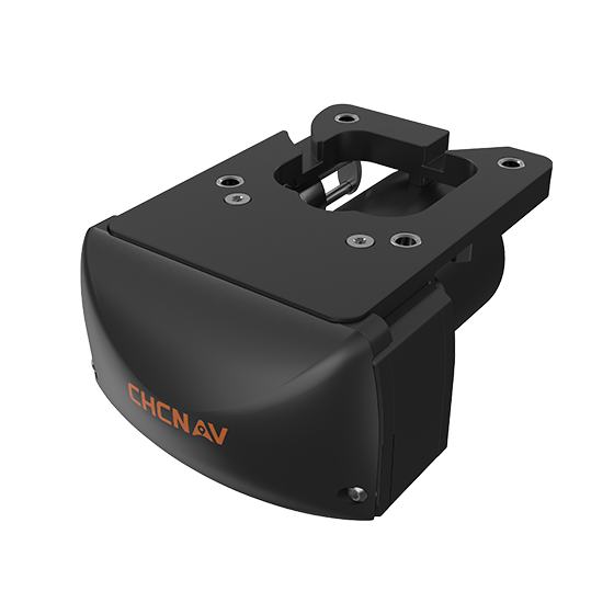
Integrated dual-frequency echo sounder for USV and manned-vessel depth measurement. Operating at 200 kHz…
- Temperature
- Yes
- IMU
- Yes
- Operating
- -20℃ to 60℃
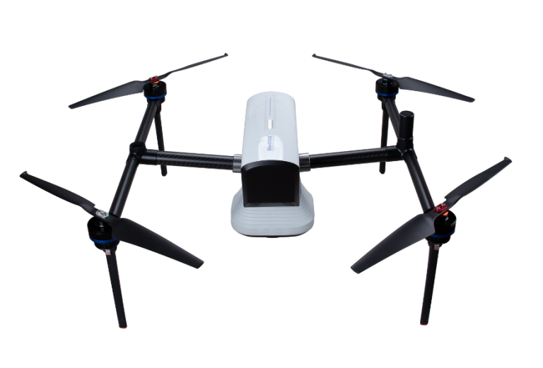
CHCNAV
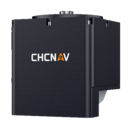
Compact, dual-frequency multibeam echosounder built for hydrographic surveys. Designed for conditions where turbidity, depth…
- Range
- 0.2 to 200 m
- Accuracy
- < 10 mm resolution
- Weight
- 3.5 kg
CHCNAV
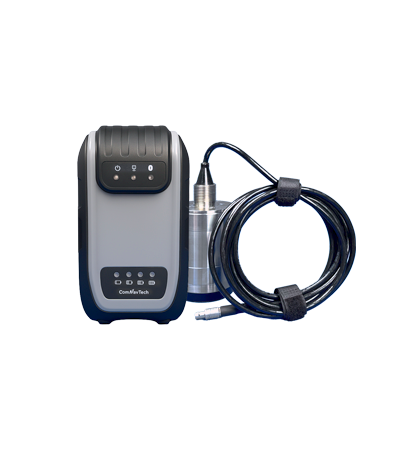
Compact and powerful system designed for high-resolution bathymetric and hydrographic surveys. It integrates sonar,…
- Type
- Multibeam, 400 kHz
- Range
- 0.2 to 150 m
- Temperature
- Yes
ComNav
New-generation portable echo sounder developed by ComNav. Compact in design, it enables automatic depth…
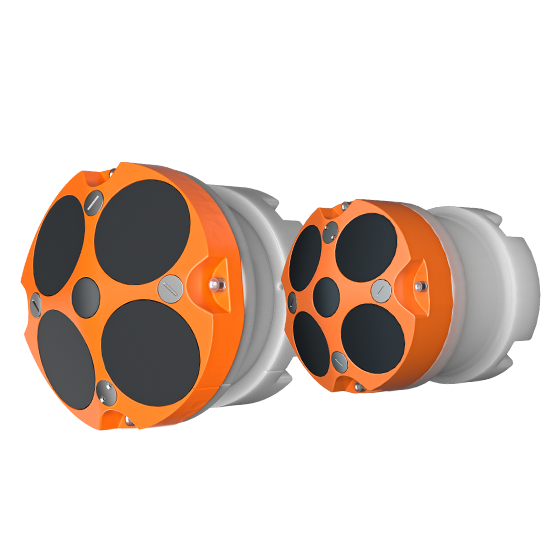
- Frequency
- 600 kHz or 1200 kHz
- Transducer
- 5 beams
- Accuracy
- ±0.25% ±2 mm/s
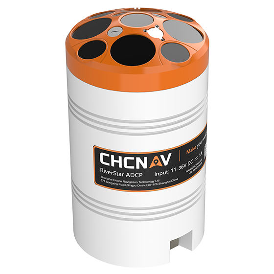
CHCNAV
The RiverStar 3600D ADCP delivers high accuracy in shallow and deep water environments. Its…
- Frequency
- 1200 kHz & 3600 kHz
- Transducer
- 9 beams
- Accuracy
- ±0.25% ±2 mm/s
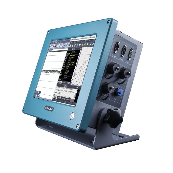
KOLIDA
Dual Frequency Digital Echo Sounder Integrated with both computer and echo sounder at industrial…
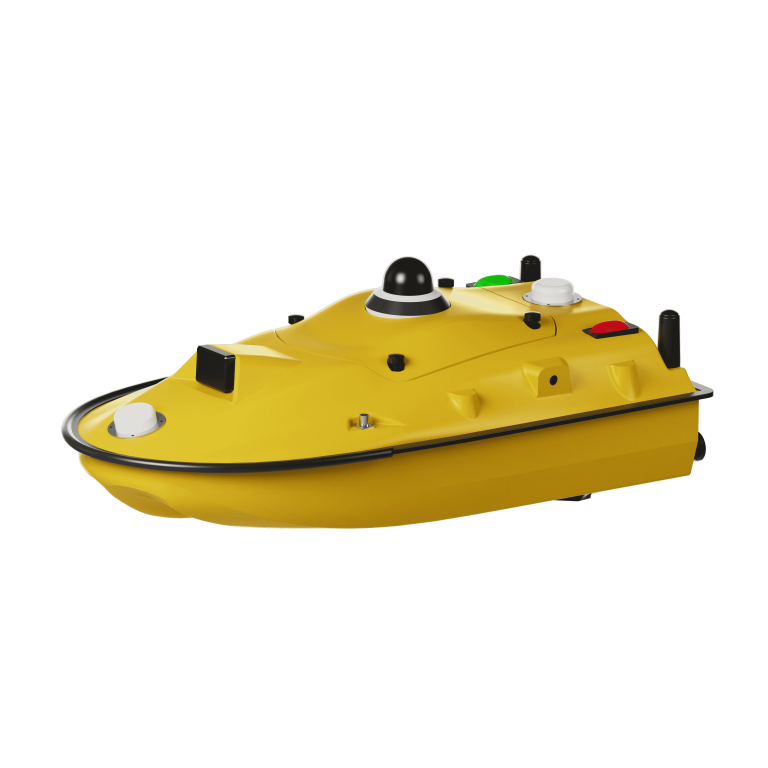
ComNav
Unmanned Surface Vessel
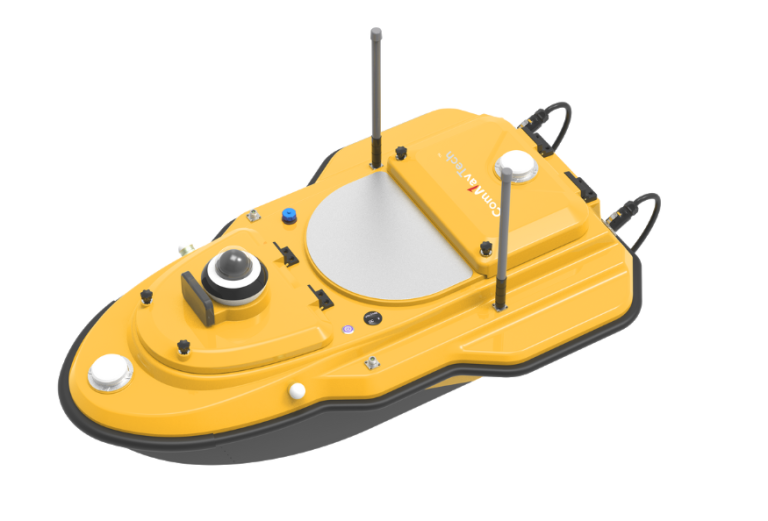
ComNav
Advanced Unmanned Surface Vessel (USV) specifically engineered for hydrographic survey. Offering remote control capabilities,…
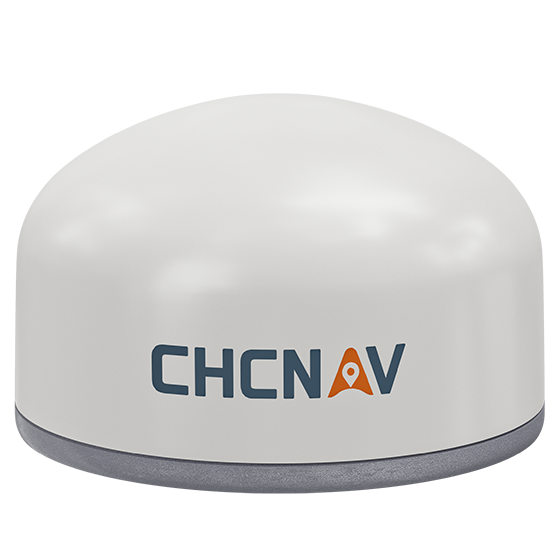
CHCNAV
Versatile intelligent GNSS receiver designed for monitoring critical infrastructure such as dams, bridges, and…
- GNSS
- Full GNSS
- IMU
- 3-axis MEMS
- Cellular
- 4G LTE
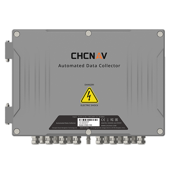
CHCNAV
16-channel automated data collector designed for long term, unattended monitoring. It supports a wide…
- Channels
- 16
- Memory
- 32 MB
- Wireless
- 4G
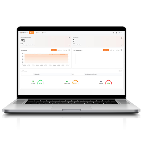
CHCNAV
Software platform designed to capture precise position data and track dynamic changes in real…
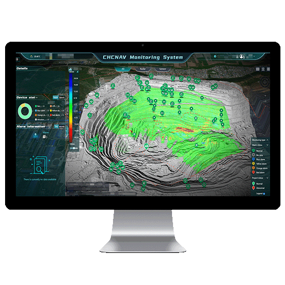
CHCNAV
Automated platform designed for real-time monitoring, data visualization, and alarm management. By integrating IoT,…
- Operating system
- Windows Server, MySQL
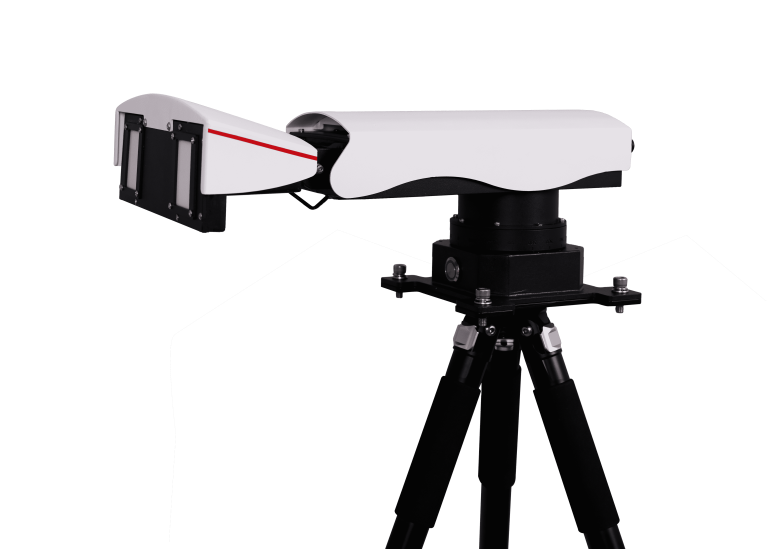
ComNav
Universal Slope Monitoring Radar
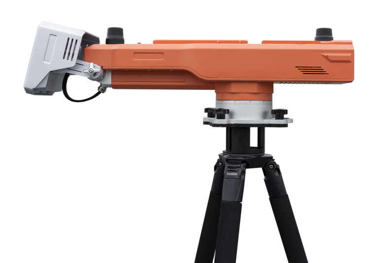
ComNav
Advanced slope stability monitoring radar developed by ComNav Technology Co., Ltd. This cutting-edge system…
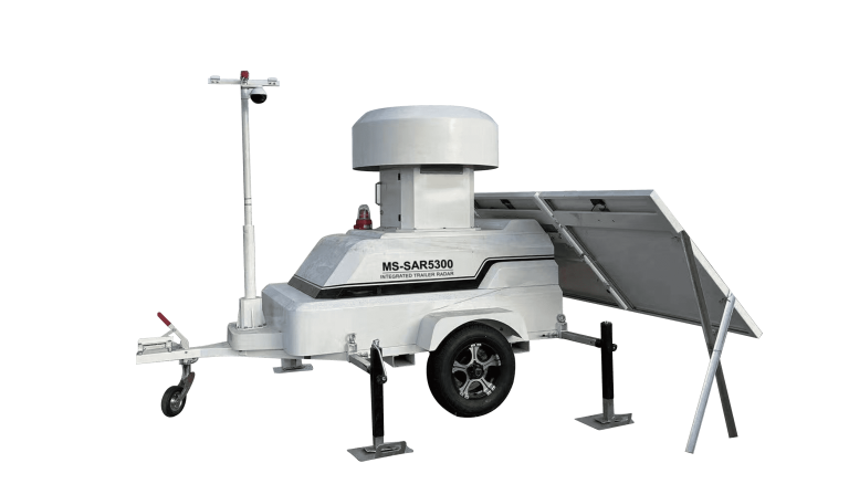
ComNav
Trailer-mounted radar monitoring station designed to adapt to dynamic monitoring needs in large open-pit…
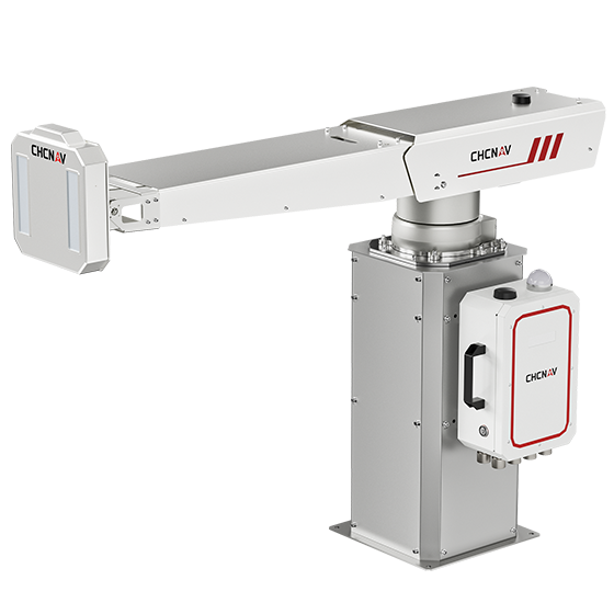
CHCNAV
The PS-2000 Multi-point Deformation Monitoring System is designed for high-precision slope stability monitoring. Utilizing…
- Range
- 30 - 5000 m
- Field of view
- 360°
- Update rate
- 360° in 120 s
CHCNAV
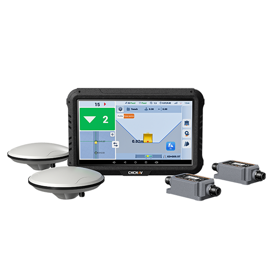
The EasyNAV EMG100 2.5D Excavator System is a precise and user-friendly solution designed for…
- GNSS
- Full GNSS
- Precision max.
- ±3 cm
- Display
- 10.1", Android, IP65
KOLIDA
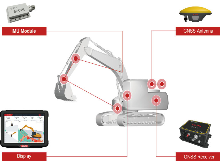
The EGS01 uses GNSS and IMU sensors to deliver real-time 3D guidance for precise…
CHCNAV
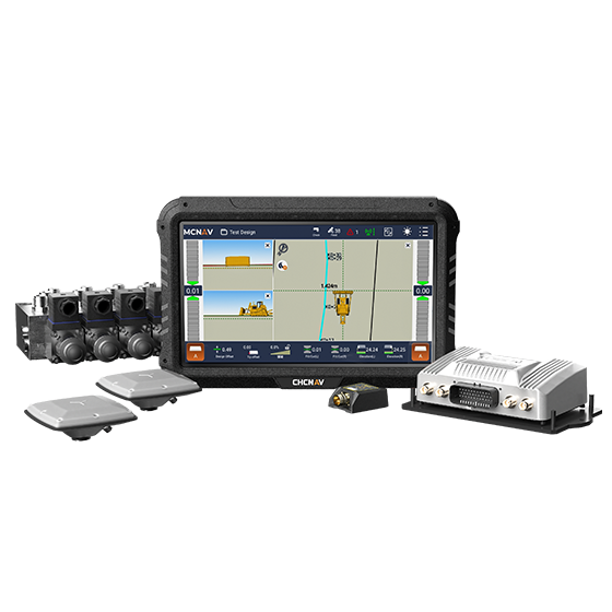
The TD63 PRO automatic 3D control system for dozers enhances the quality and efficiency…
- GNSS
- Full GNSS
- Precision max.
- 1 cm H / 1.5 cm V
- Display
- 10.1", Android, IP65
CHCNAV
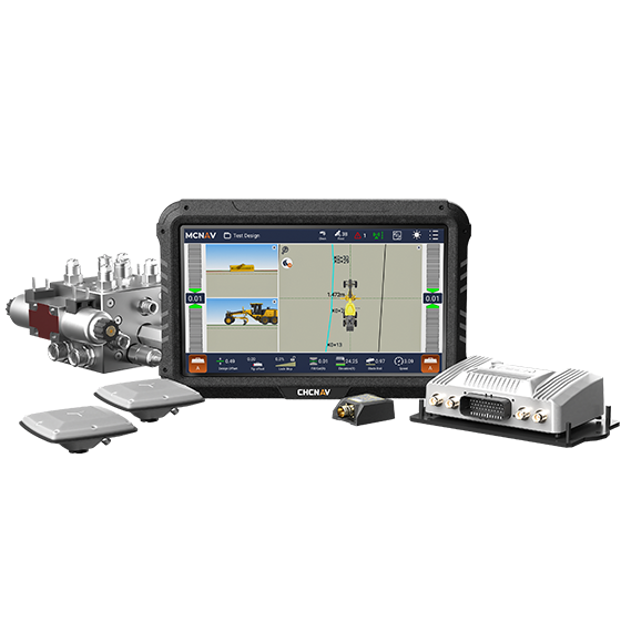
3D grade control system for graders that delivers automatic grader machine control on construction…
- GNSS
- Full GNSS
- Precision max.
- 1 cm H / 1.5 cm V
- Display
- 10.1", Android, IP65
