SOUTH
Marine and hydrographic
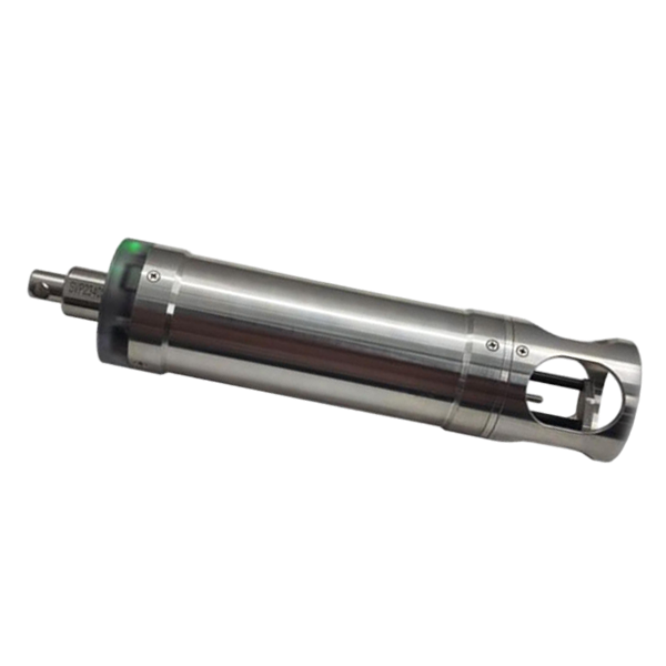
- Velocity Range
- 1375-1900 m/s
- Velocity Resolution
- 0.001 m/s
- Velocity Accuracy
- ±0.02 m/s
SOUTH
Marine and hydrographic
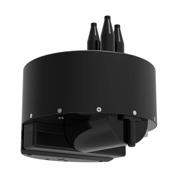
- Model
- T400S
- Frequency
- 400kHz
- Swath Coverage
- Up to 140°
- Voltage
- DC12V
- Communication
- RS485
- External dimensions
- Φ530mm*588mm
- Channel
- 1598 channels
- GPS
- L1C/A, L2C, L2E, L5
- GLONASS
- L1, L2, L3
- Collected Interval
- 0s~24h
- Upload interval
- 0s~72h
- Output
- RS485, 3/4G
- Model
- TA-H TA-L
- Voltage
- DC 5 ~ 30V
- Power
- Less than 5mA@12V
SOUTH
Precision agriculture
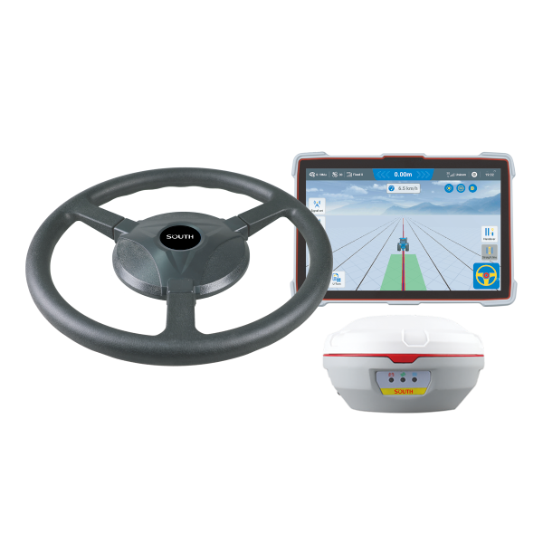
- Velocity accuracy
- <0.02 m/s
- Initialization Time
- <10 s
- Pass to pass accuracy
- ±2.5cm
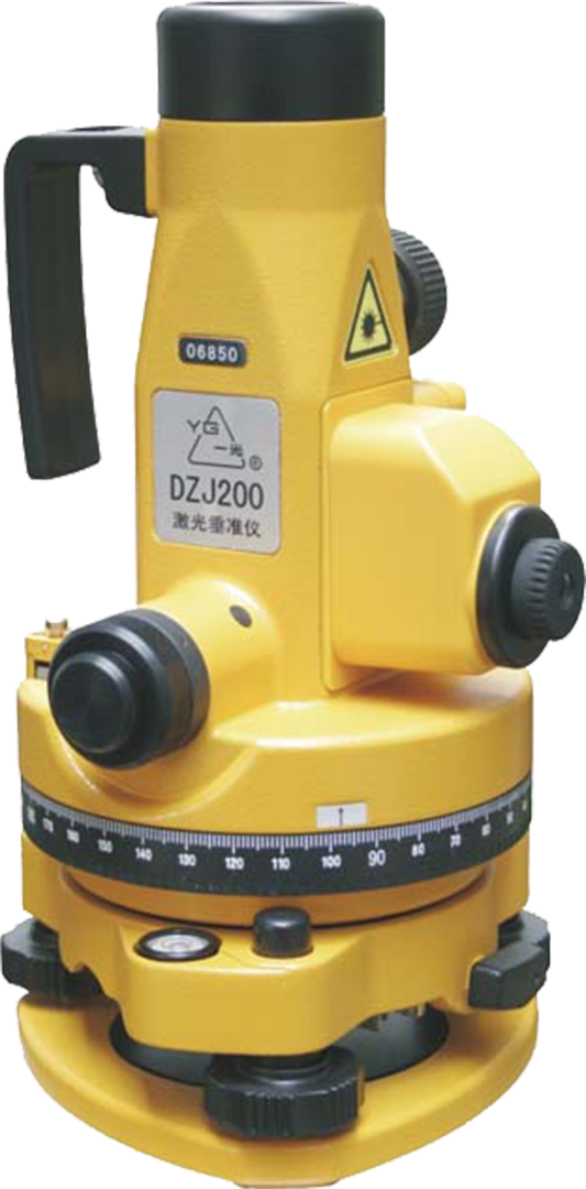
- Exit power
- 0.1MW
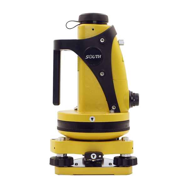
- Magnification
- 25X
- Field of View
- 1°50′
- Laser Pointer
- 1/45000
- Laser Plumb
- 1/2000
- Image
- Reverse
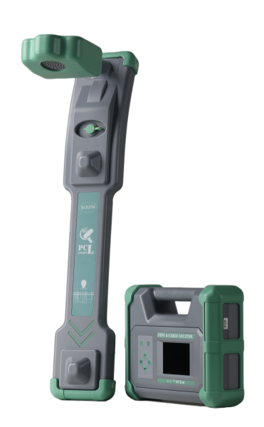
- Dynamic range
- 140dB
- Position accuracy
- ±5% * depth
- Screen display
- Color LCD screen
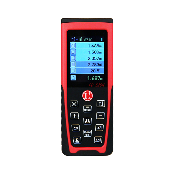
- Laser Class
- 620-690nm, <1mW
- Laser Type
- II
- Type
- Outdoor
- Measuring Range
- 0.05-30m
- Laser Class
- 620-690nm, <1mW
- Laser Type
- II
- Measuring Range
- 0.05-40m
- Laser Class
- 620-690nm, <1mW
- Laser Type
- II
- Measuring Range
- 0.05-60m
- Laser Class
- 620-690nm, <1mW
- Laser Type
- II
- Measuring Range
- 0.05-80m
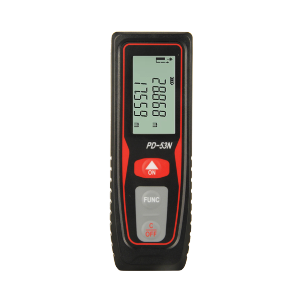
- Laser Class
- 620-690nm, <1mW
- Laser Type
- II
- Accuracy
- 0.01m/0.01ft
- Range
- 9999.99m/ft
- Response Speed
- 8m/s
- Model
- AGR3 /AGR4 /AGR5 /AGR7