ComNav
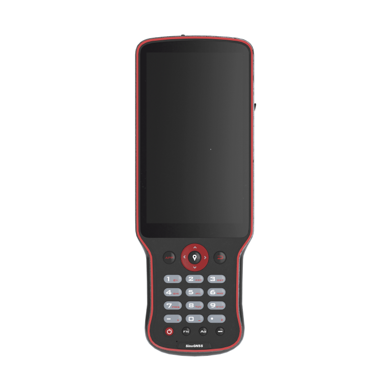
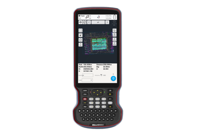
Rugged and ergonomic controller that delivers the professionalism and flexibility in your field surveying…
ComNav
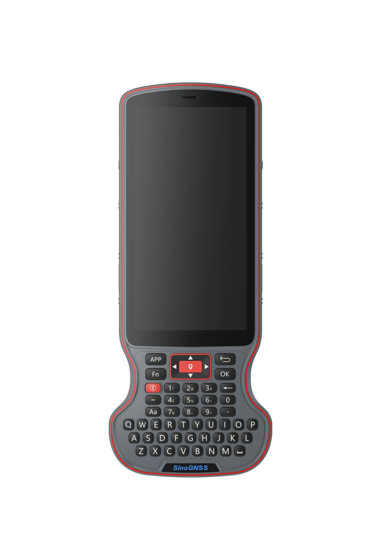
High-performance GNSS data controller with smartphone functionality, built on the Android 12.0 operating system.…
ComNav
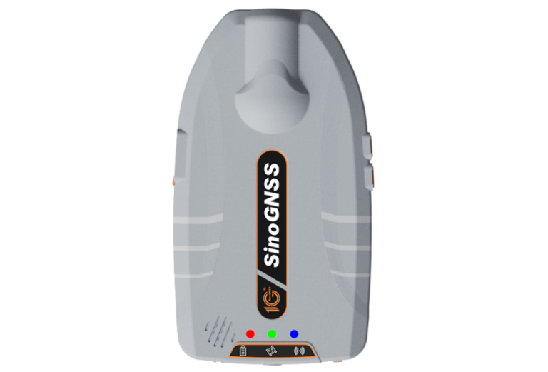
Latest generation of portable high-precision GNSS receiver. With a built-in antenna, multi-frequency and full-constellation…
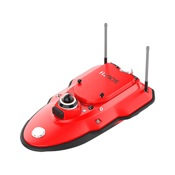
SOUTH
Marine and hydrographic
- System
- Android System
- Display
- 9.2-inch HD Display
- Operating frequency
- 200 kHZ
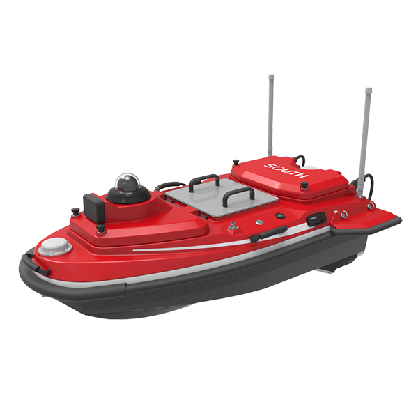
SOUTH
Marine and hydrographic
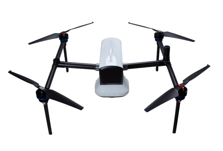
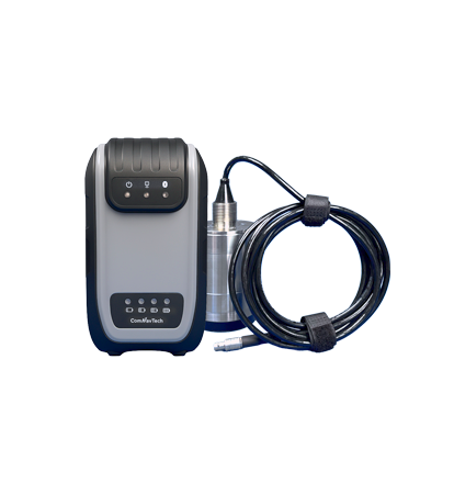
ComNav
New-generation portable echo sounder developed by ComNav. Compact in design, it enables automatic depth…
SOUTH
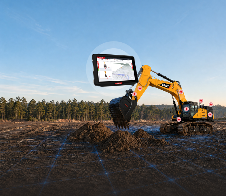
Excavator Guidance System EGS01
SOUTH
Marine and hydrographic
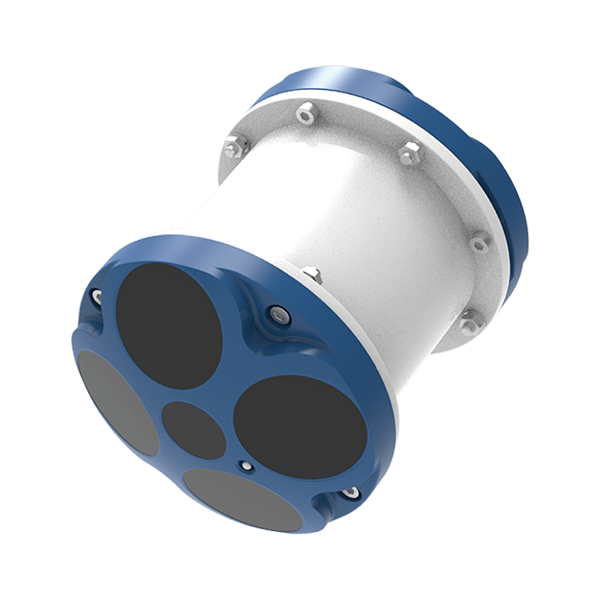
- Number Of Cells
- 260
- Ping Rate
- Max 20Hz
- Resolution
- 1mm/s
SOUTH
Marine and hydrographic
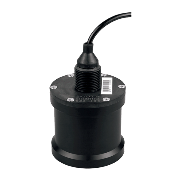
- Sound Frequency
- 200K Hz
- Beam Angle
- 5°
- Depth Range
- 0.4-100m
SOUTH
Marine and hydrographic
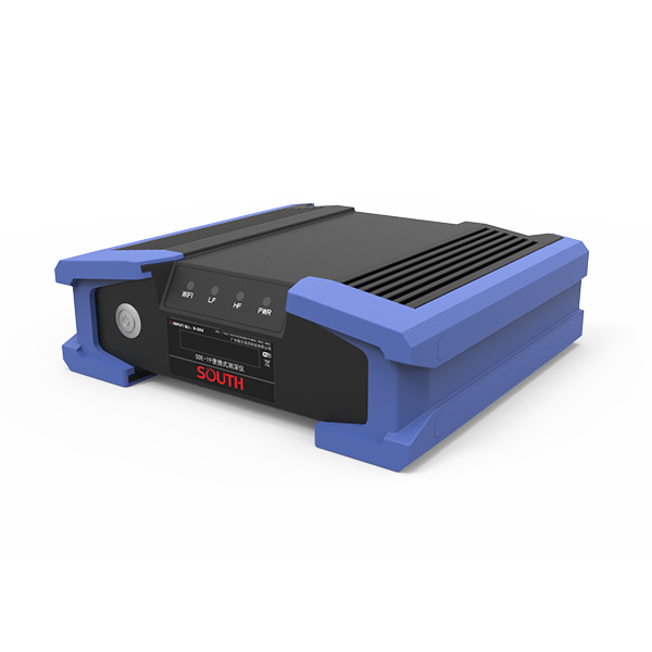
- Power supply
- DC 12V
- IP level
- IP67
- Operating temperature
- -45°C - 60°C
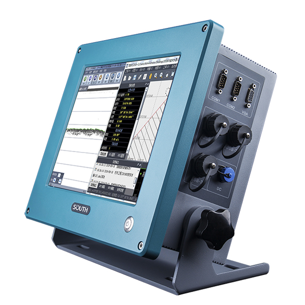
SOUTH
Marine and hydrographic
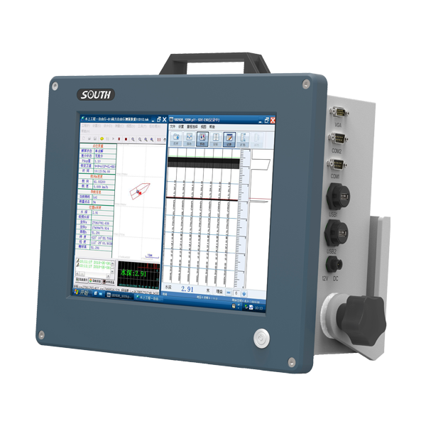
SOUTH
Marine and hydrographic
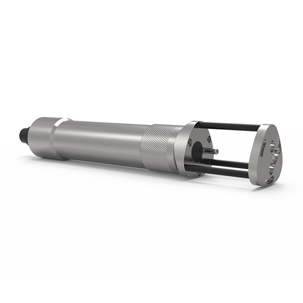
SOUTH
Marine and hydrographic
- Sound velocity range
- 1400m/s~1900m/s
- Measurement accuracy
- 0.03m/s
- Acoustic Frequency
- 2MHz
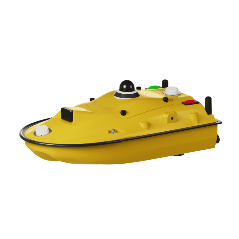
ComNav
Unmanned Surface Vessel
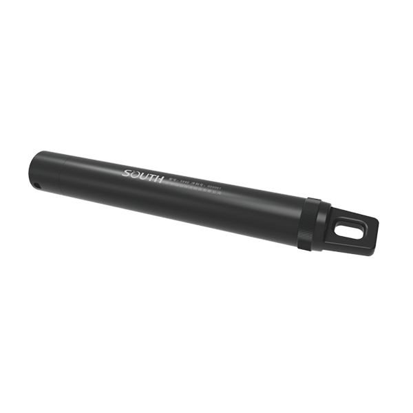
SOUTH
Marine and hydrographic
- Pressure accuracy
- ±0.2%FS
- Resolution
- 0.001m
- Temperature range
- -40℃~+120℃
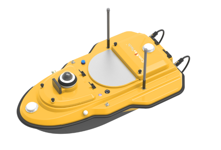
ComNav
Advanced Unmanned Surface Vessel (USV) specifically engineered for hydrographic survey. Offering remote control capabilities,…
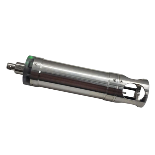
SOUTH
Marine and hydrographic
- Velocity Range
- 1375-1900 m/s
- Velocity Resolution
- 0.001 m/s
- Velocity Accuracy
- ±0.02 m/s
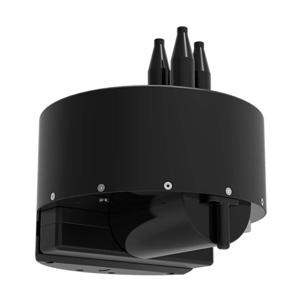
SOUTH
Marine and hydrographic
- Model
- T400S
- Frequency
- 400kHz
- Swath Coverage
- Up to 140°
- Voltage
- DC12V
- Communication
- RS485
- External dimensions
- Φ530mm*588mm
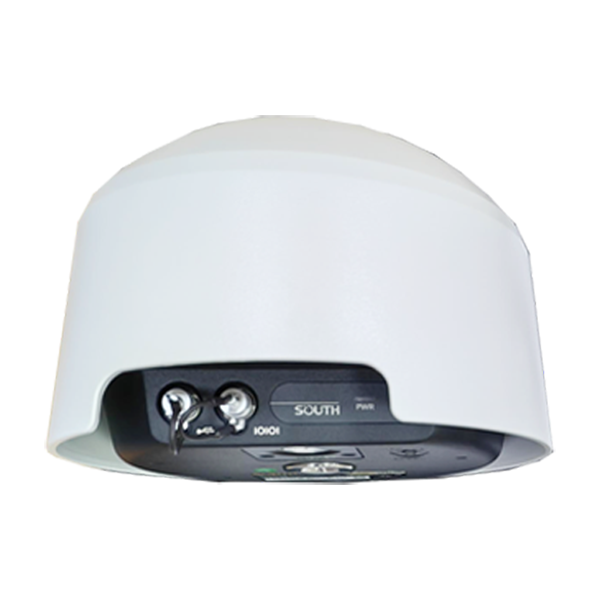
- Channel
- 1598 channels
- GPS
- L1C/A, L2C, L2E, L5
- GLONASS
- L1, L2, L3
ComNav
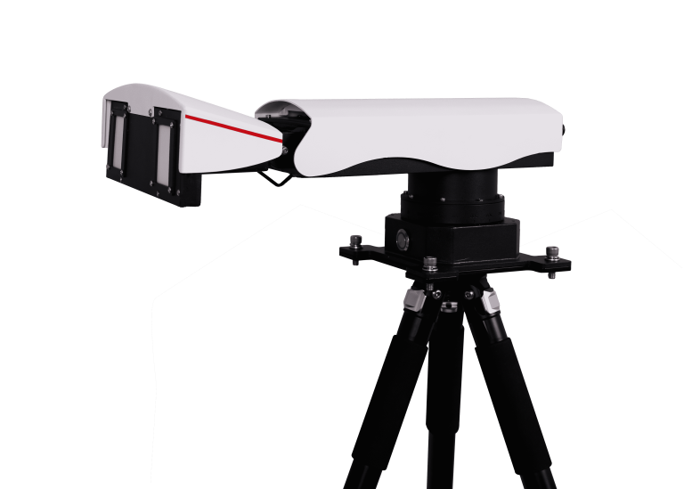
Universal Slope Monitoring Radar
