All products

Every model we ship in one catalog, from RTK receivers and total stations to scanners and echo sounders. Filter by product line or brand to narrow the list.

2318models
18product lines
9brands
Showing 145 to 168 of 320

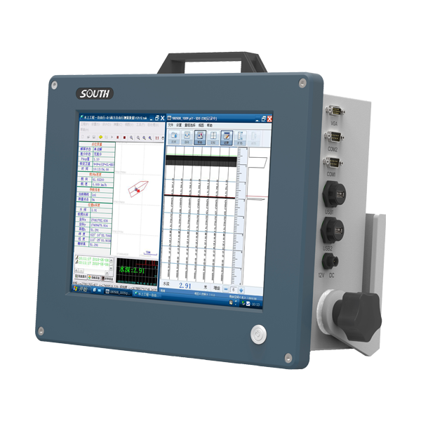
SOUTH S5
SOUTH

S5

Marine and hydrographic

Number Of Cells
260
Ping Rate
Max 20Hz
Resolution
1mm/s
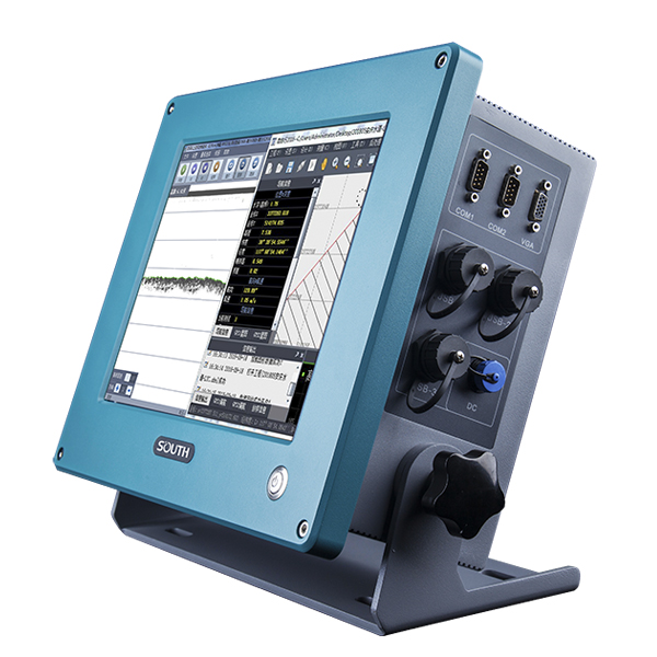
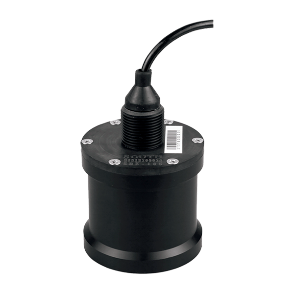
SOUTH SDE-18S
SOUTH

SDE-18S

Marine and hydrographic

Sound Frequency
200K Hz
Beam Angle
5°
Depth Range
0.4-100m
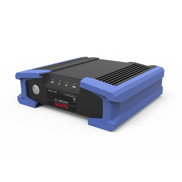
SOUTH SDE-19
SOUTH

SDE-19

Marine and hydrographic

Power supply
DC 12V
IP level
IP67
Operating temperature
-45°C - 60°C
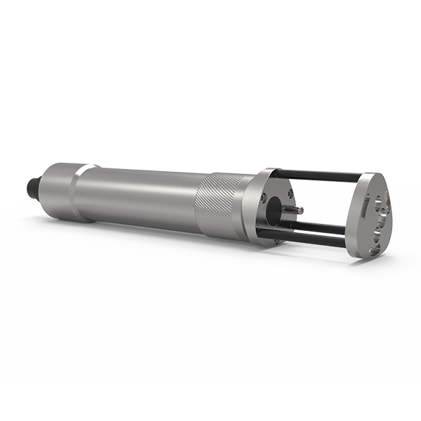
SOUTH SV30
SOUTH

SV30

Marine and hydrographic

Sound velocity range
1400m/s~1900m/s
Measurement accuracy
0.03m/s
Acoustic Frequency
2MHz
SOUTH SV40
SOUTH

SV40

Marine and hydrographic

Pressure accuracy
±0.2%FS
Resolution
0.001m
Temperature range
-40℃~+120℃
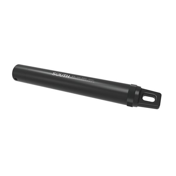
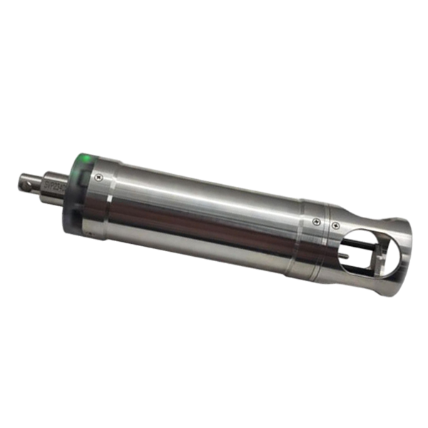
SOUTH SVP60
SOUTH

SVP60

Marine and hydrographic

Velocity Range
1375-1900 m/s
Velocity Resolution
0.001 m/s
Velocity Accuracy
±0.02 m/s
SOUTH T400S
SOUTH

T400S

Marine and hydrographic

Model
T400S
Frequency
400kHz
Swath Coverage
Up to 140°
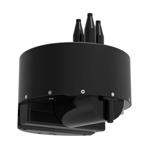
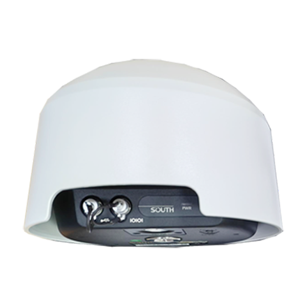
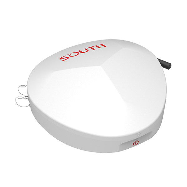
SOUTH FMOS
SOUTH

FMOS

Monitoring systems

Voltage
DC12V
Communication
RS485
External dimensions
Φ530mm*588mm
CHCNAV H3
CHCNAV

H3

Versatile intelligent GNSS receiver designed for monitoring critical infrastructure such as dams, bridges, and…

GNSS
Full GNSS
IMU
3-axis MEMS
Cellular
4G LTE
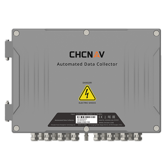
CHCNAV H960
CHCNAV

H960

16-channel automated data collector designed for long term, unattended monitoring. It supports a wide…

Channels
16
Memory
32 MB
Wireless
4G
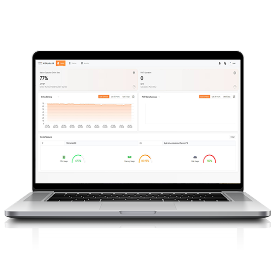
CHCNAV HCMonitor
CHCNAV

HCMonitor

Software platform designed to capture precise position data and track dynamic changes in real…

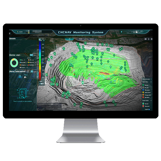
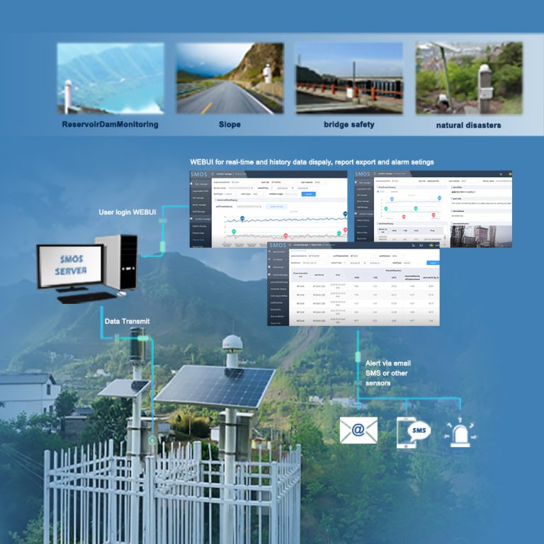
CHCNAV MAS
CHCNAV

MAS

Automated platform designed for real-time monitoring, data visualization, and alarm management. By integrating IoT,…

Operating system
Windows Server, MySQL
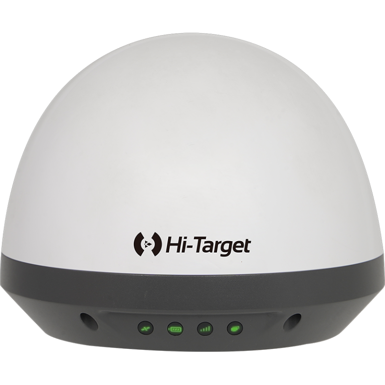
SOUTH MR1
SOUTH

MR1

Monitoring systems

Channel
1598 channels
GPS
L1C/A, L2C, L2E, L5
GLONASS
L1, L2, L3
SOUTH MS1
SOUTH

MS1

Monitoring systems

Collected Interval
0s~24h
Upload interval
0s~72h
Output
RS485, 3/4G
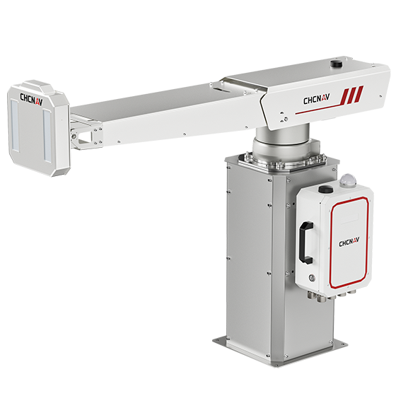
CHCNAV PS-2000
CHCNAV

PS-2000

The PS-2000 Multi-point Deformation Monitoring System is designed for high-precision slope stability monitoring. Utilizing…

Range
30 - 5000 m
Field of view
360°
Update rate
360° in 120 s
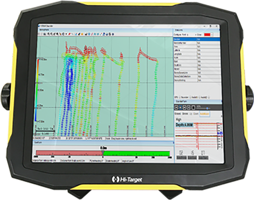
CHCNAV EasyNAV EMG100
CHCNAV

EasyNAV EMG100

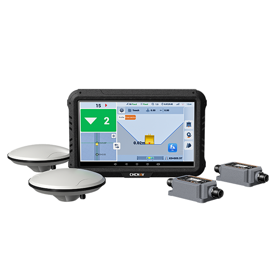
The EasyNAV EMG100 2.5D Excavator System is a precise and user-friendly solution designed for…

GNSS
Full GNSS
Precision max.
±3 cm
Display
10.1", Android, IP65

Not sure which model fits your job?

Tell us the work, the accuracy you need and your budget. An engineer replies with two or three options and prices within 24 hours.