All products

Every model we ship in one catalog, from RTK receivers and total stations to scanners and echo sounders. Filter by product line or brand to narrow the list.

2318models
18product lines
9brands
Showing 193 to 216 of 226

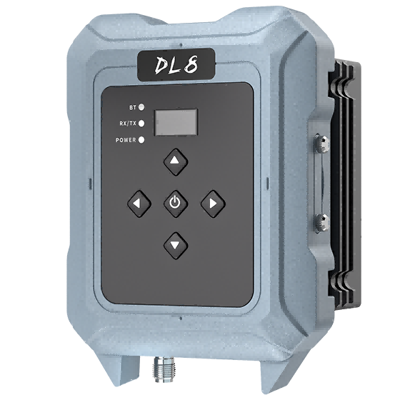
CHCNAV DL8
CHCNAV

DL8

The DL8 UHF radio modem provides reliable base-to-rover GNSS RTK corrections over long distances.…

Modem
410-470 MHz, Rx/Tx
Operating
-40°C to +65°C
Protection rating
IP67
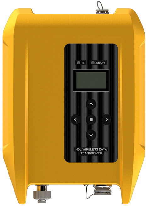
Hi-Target HDL-460A External Radio
Hi-Target

HDL-460A

High-power external radio launched by Hi-Target. It has a strict protection level and a…

Channel Number
116
Frequency Range
403~473 MHz
Hi-Target Business Center
Hi-Target

Business Center

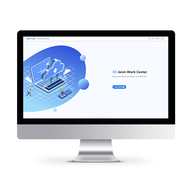
Hi-Target Business Center HBC, the all-in-one post-processing desktop software, supports processing multi-sourced data from…
CHCNAV CGBAS
CHCNAV

CGBAS

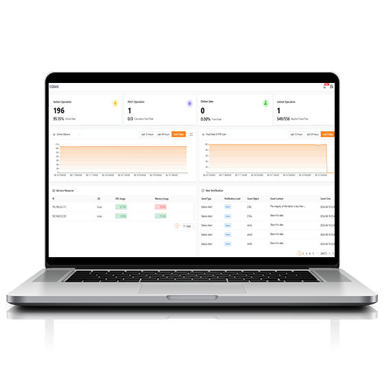
Comprehensive, server-based solution designed to manage and operate GNSS CORS and RTK networks on…

CHCNAV CGO
CHCNAV

CGO

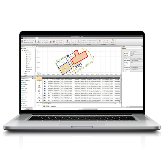
CGO software is designed to edit, process, and analyze GNSS data, delivering high-precision positioning…

Operating system
Windows
Functions
GNSS data processing
CHCNAV CoCloud
CHCNAV

CoCloud

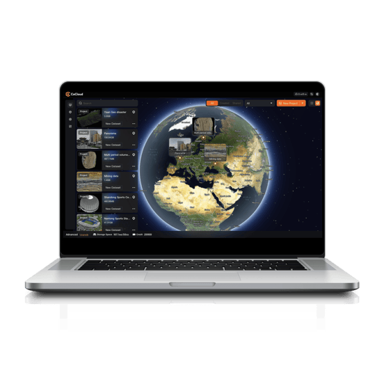
Cloud-based 3D processing and visualization platform that transforms captured spatial data into 3D deliverables.…

Operating system
Cloud-Native
File formats
.zip
CHCNAV CoMeta
CHCNAV

CoMeta

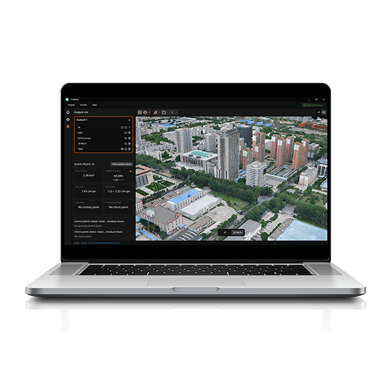
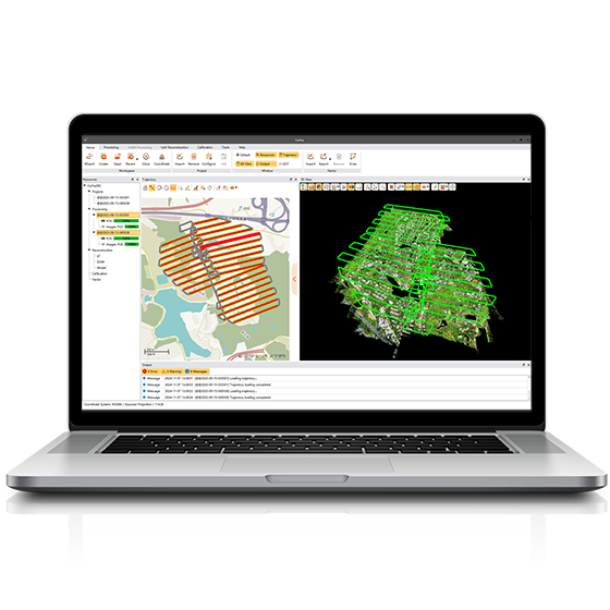
CoMeta is professional photogrammetry and 3D modeling software for UAV mapping and large-scale 3D…

CHCNAV CoPre
CHCNAV

CoPre

Comprehensive LiDAR processing software developed by CHCNAV for efficient and accurate mobile geospatial data…

Operating system
Windows
Languages
English, Chinese
CHCNAV CoProcess
CHCNAV

CoProcess

Professional point cloud processing software designed to convert large-scale LiDAR datasets into engineering-ready deliverables.…

CHCNAV CoProcess Classic
CHCNAV

CoProcess Classic

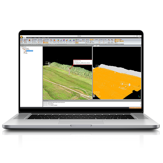
Powerful software solution tailored to the post-processing of massive point cloud data. It seamlessly…

Operating system
Windows
Languages
English, Chinese,
File formats
codata,las, and more.
FOIF FieldGenius
FOIF

FieldGenius

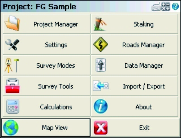
FOIF FieldGenius is professional surveying and mapping software, with user-friendly toolbars, powerful modules and…

Not sure which model fits your job?

Tell us the work, the accuracy you need and your budget. An engineer replies with two or three options and prices within 24 hours.