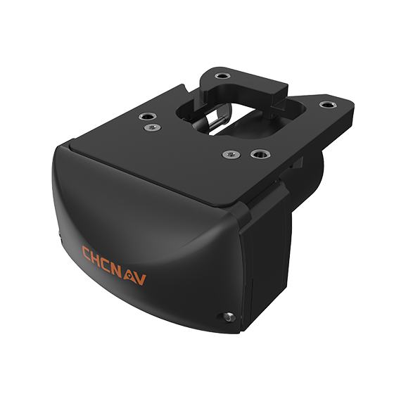
CHCNAV
Compact, dual-frequency multibeam echosounder built for hydrographic surveys. Designed for conditions where turbidity, depth…
- Range
- 0.2 to 200 m
- Accuracy
- < 10 mm resolution
- Weight
- 3.5 kg
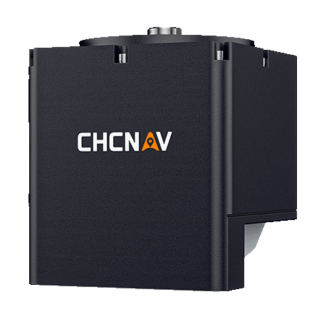
CHCNAV
Compact and powerful system designed for high-resolution bathymetric and hydrographic surveys. It integrates sonar,…
- Type
- Multibeam, 400 kHz
- Range
- 0.2 to 150 m
- Temperature
- Yes
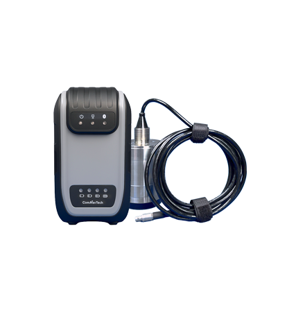
ComNav
New-generation portable echo sounder developed by ComNav. Compact in design, it enables automatic depth…
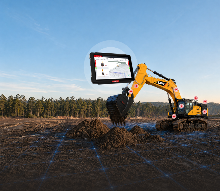
SOUTH
Excavator Guidance System EGS01
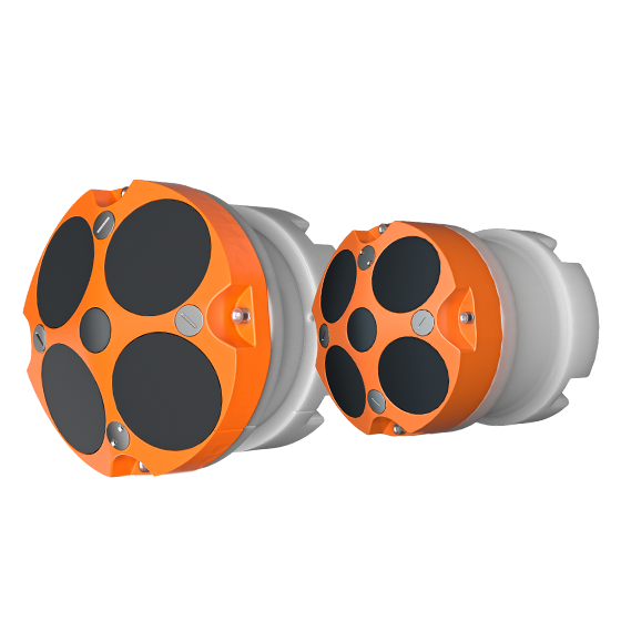
- Frequency
- 600 kHz or 1200 kHz
- Transducer
- 5 beams
- Accuracy
- ±0.25% ±2 mm/s
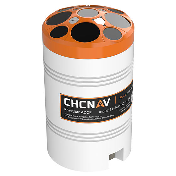
CHCNAV
The RiverStar 3600D ADCP delivers high accuracy in shallow and deep water environments. Its…
- Frequency
- 1200 kHz & 3600 kHz
- Transducer
- 9 beams
- Accuracy
- ±0.25% ±2 mm/s
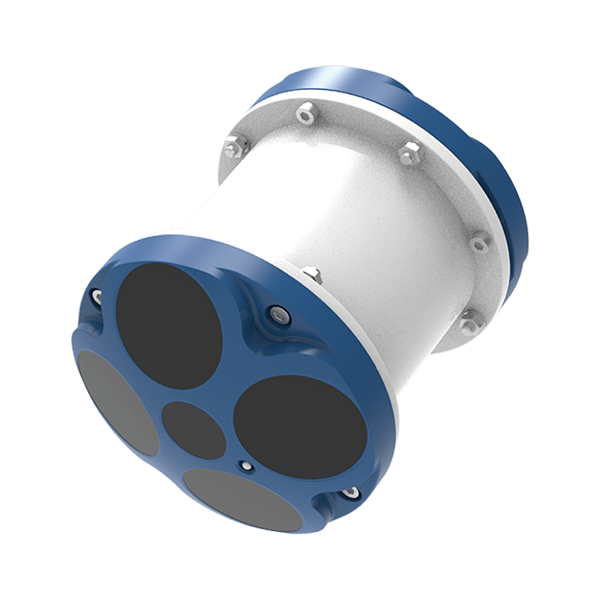
SOUTH
Marine and hydrographic
- Number Of Cells
- 260
- Ping Rate
- Max 20Hz
- Resolution
- 1mm/s
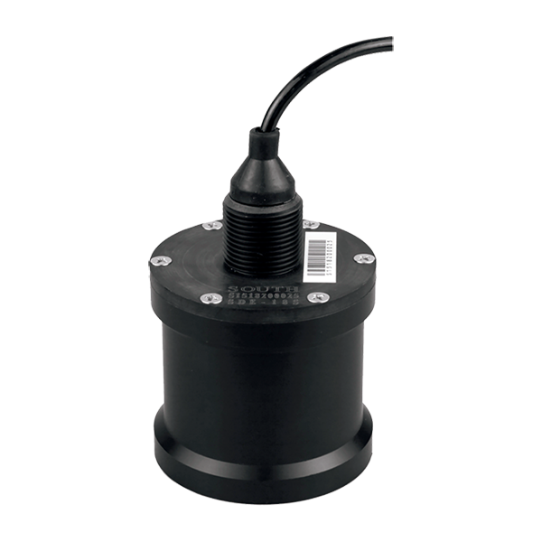
SOUTH
Marine and hydrographic
- Sound Frequency
- 200K Hz
- Beam Angle
- 5°
- Depth Range
- 0.4-100m
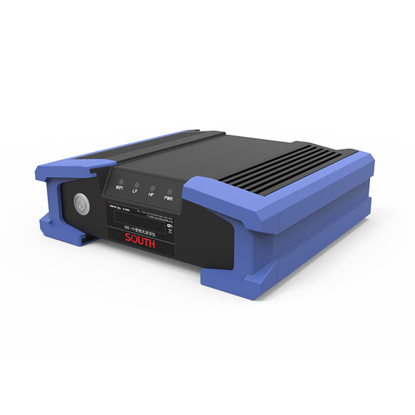
SOUTH
Marine and hydrographic
- Power supply
- DC 12V
- IP level
- IP67
- Operating temperature
- -45°C - 60°C
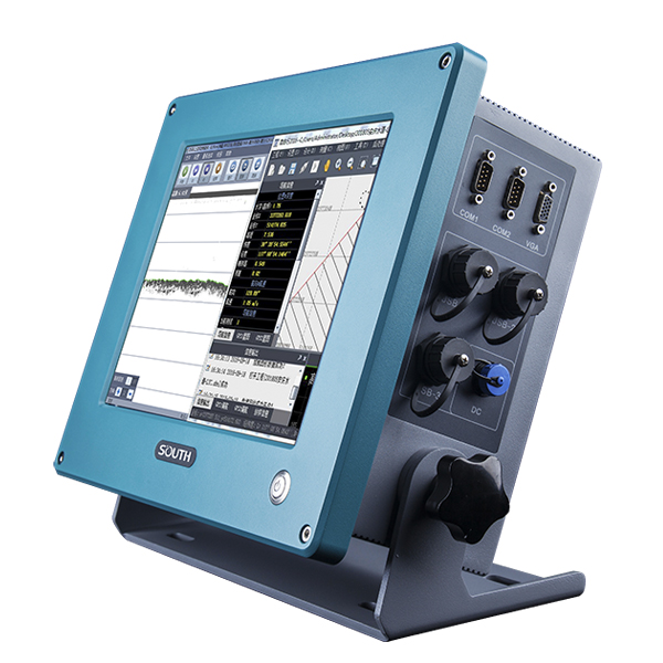
SOUTH
Marine and hydrographic
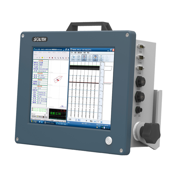
SOUTH
Marine and hydrographic
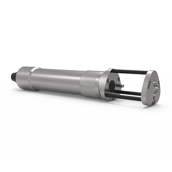
SOUTH
Marine and hydrographic
- Sound velocity range
- 1400m/s~1900m/s
- Measurement accuracy
- 0.03m/s
- Acoustic Frequency
- 2MHz
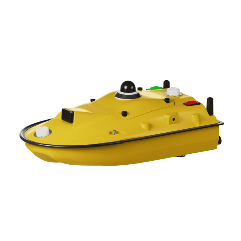
ComNav
Unmanned Surface Vessel
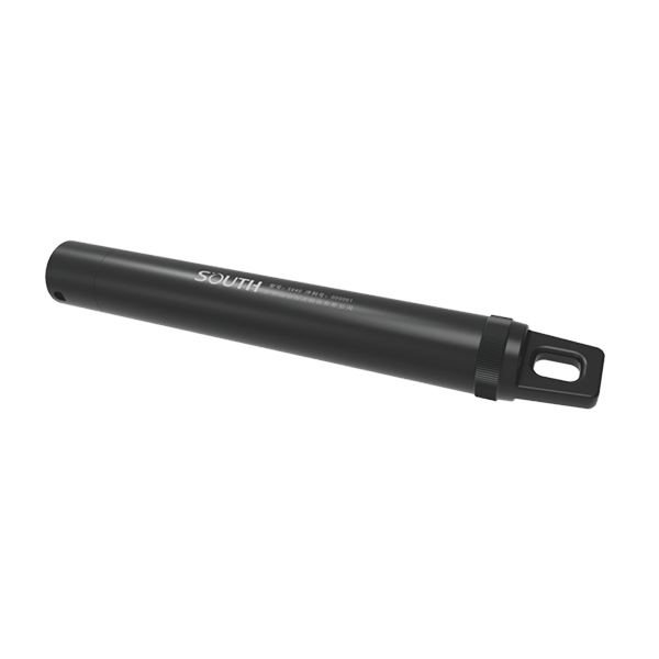
SOUTH
Marine and hydrographic
- Pressure accuracy
- ±0.2%FS
- Resolution
- 0.001m
- Temperature range
- -40℃~+120℃
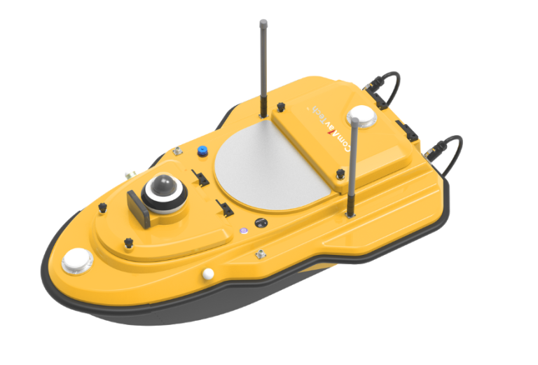
ComNav
Advanced Unmanned Surface Vessel (USV) specifically engineered for hydrographic survey. Offering remote control capabilities,…
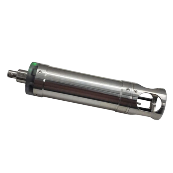
SOUTH
Marine and hydrographic
- Velocity Range
- 1375-1900 m/s
- Velocity Resolution
- 0.001 m/s
- Velocity Accuracy
- ±0.02 m/s
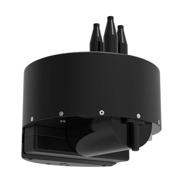
SOUTH
Marine and hydrographic
- Model
- T400S
- Frequency
- 400kHz
- Swath Coverage
- Up to 140°
- Voltage
- DC12V
- Communication
- RS485
- External dimensions
- Φ530mm*588mm
CHCNAV
Versatile intelligent GNSS receiver designed for monitoring critical infrastructure such as dams, bridges, and…
- GNSS
- Full GNSS
- IMU
- 3-axis MEMS
- Cellular
- 4G LTE
CHCNAV
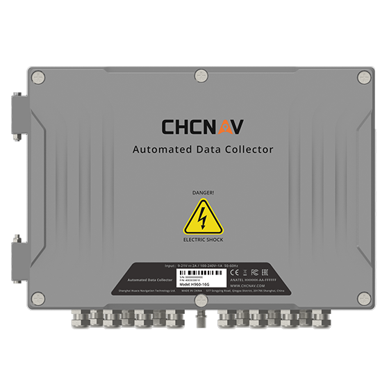
16-channel automated data collector designed for long term, unattended monitoring. It supports a wide…
- Channels
- 16
- Memory
- 32 MB
- Wireless
- 4G
CHCNAV
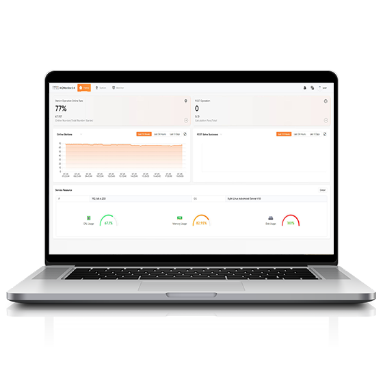
Software platform designed to capture precise position data and track dynamic changes in real…
CHCNAV
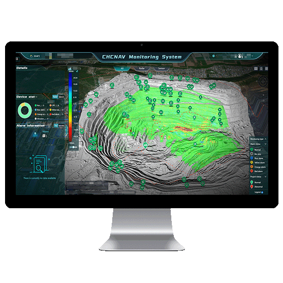
Automated platform designed for real-time monitoring, data visualization, and alarm management. By integrating IoT,…
- Operating system
- Windows Server, MySQL
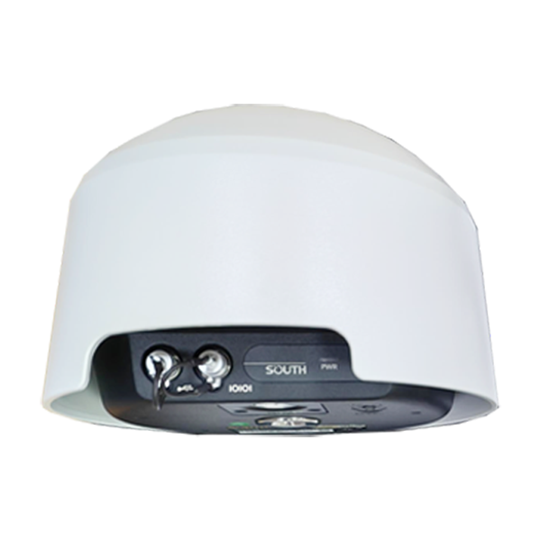
- Channel
- 1598 channels
- GPS
- L1C/A, L2C, L2E, L5
- GLONASS
- L1, L2, L3
