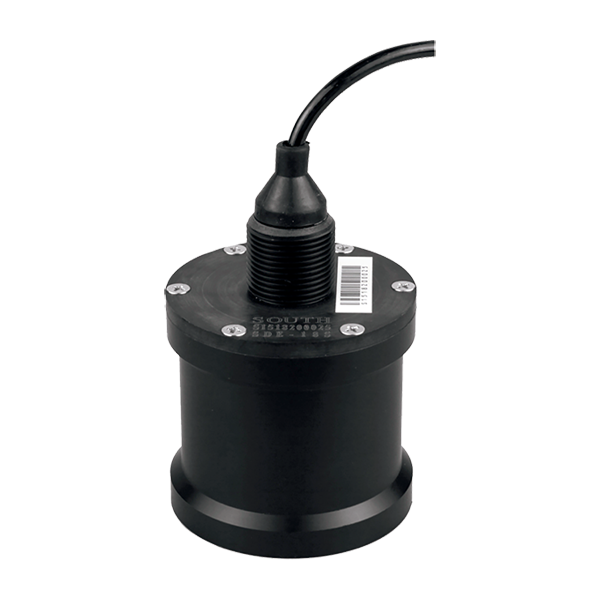
SOUTH
Marine and hydrographic
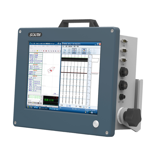
- Sound Frequency
- 200K Hz
- Beam Angle
- 5°
- Depth Range
- 0.4-100m
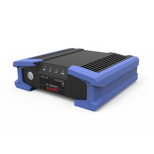
SOUTH
Marine and hydrographic
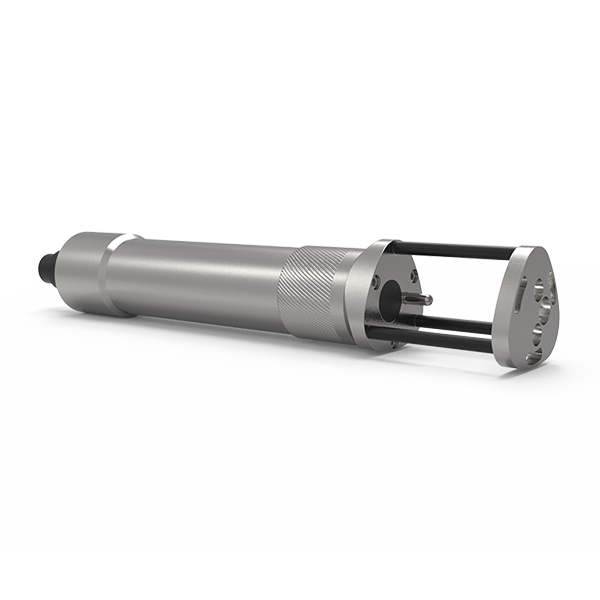
- Power supply
- DC 12V
- IP level
- IP67
- Operating temperature
- -45°C - 60°C
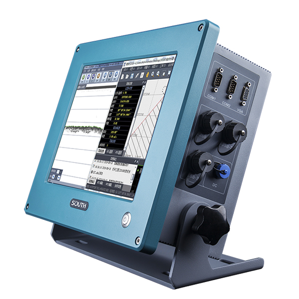
SOUTH
Marine and hydrographic
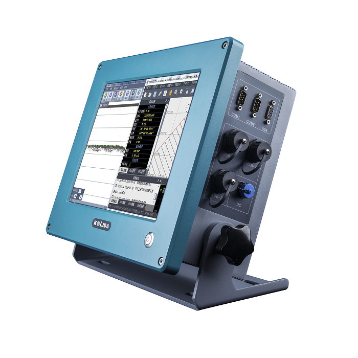
KOLIDA
Dual Frequency Digital Echo Sounder Integrated with both computer and echo sounder at industrial…
SOUTH
Marine and hydrographic
SOUTH
Marine and hydrographic
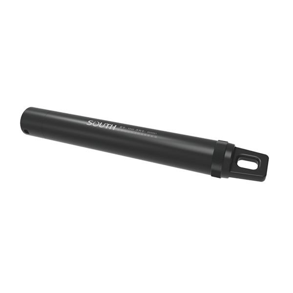
- Sound velocity range
- 1400m/s~1900m/s
- Measurement accuracy
- 0.03m/s
- Acoustic Frequency
- 2MHz
SOUTH
Marine and hydrographic
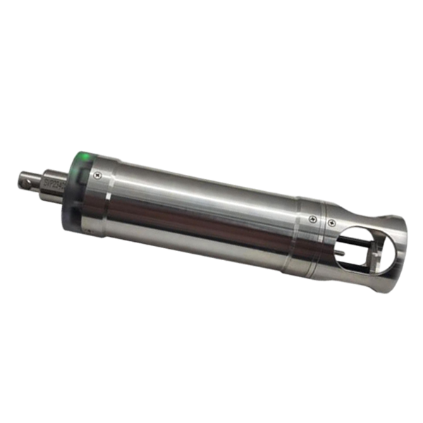
- Pressure accuracy
- ±0.2%FS
- Resolution
- 0.001m
- Temperature range
- -40℃~+120℃
SOUTH
Marine and hydrographic
- Velocity Range
- 1375-1900 m/s
- Velocity Resolution
- 0.001 m/s
- Velocity Accuracy
- ±0.02 m/s
SOUTH
Marine and hydrographic
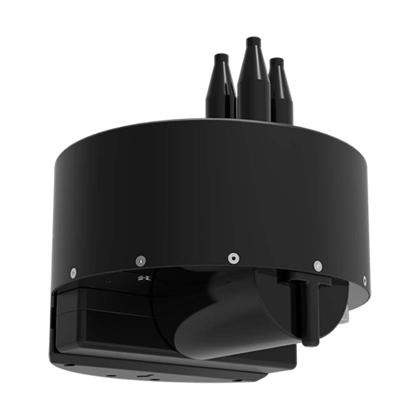
- Model
- T400S
- Frequency
- 400kHz
- Swath Coverage
- Up to 140°
- Voltage
- DC12V
- Communication
- RS485
- External dimensions
- Φ530mm*588mm
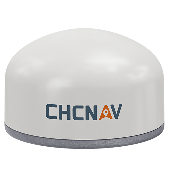
CHCNAV
Versatile intelligent GNSS receiver designed for monitoring critical infrastructure such as dams, bridges, and…
- GNSS
- Full GNSS
- IMU
- 3-axis MEMS
- Cellular
- 4G LTE
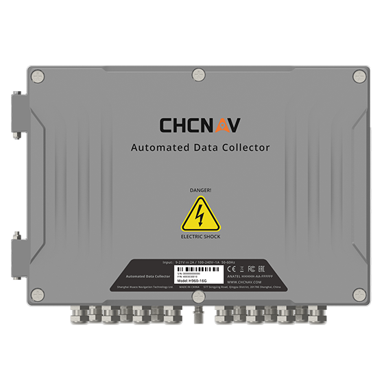
CHCNAV
16-channel automated data collector designed for long term, unattended monitoring. It supports a wide…
- Channels
- 16
- Memory
- 32 MB
- Wireless
- 4G
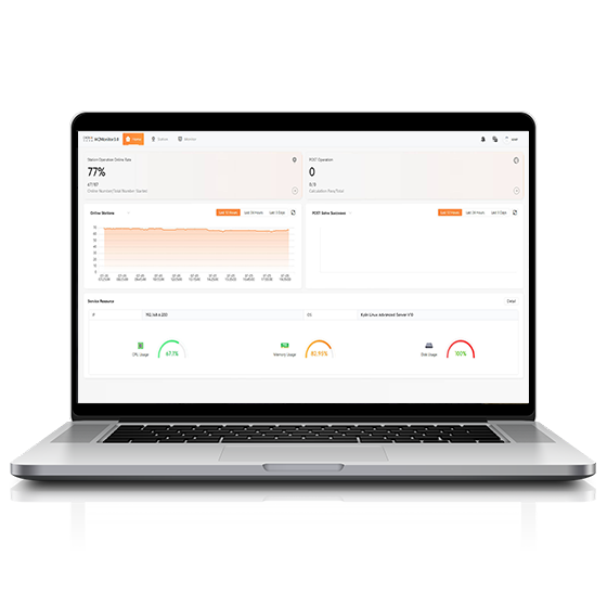
CHCNAV
Software platform designed to capture precise position data and track dynamic changes in real…
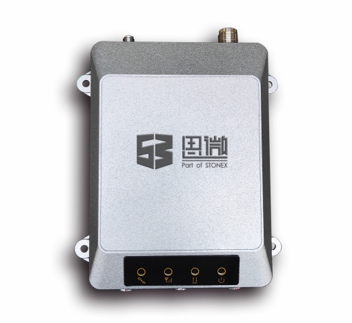
Stonex
High-precision geodetic GNSS receiver independently developed by Stonex to meet the practical requirements of…
- Sub-item
- Description
- Channels
- 432
- GNSS Antenna
- External
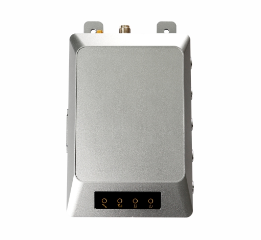
Stonex
High-precision geodetic GNSS product independently developed by Stonex based on practical engineering monitoring requirements.…
- Sub-item
- Description
- GPS
- L1C/A, L2C, L5
- BDS
- B1, B2, B3
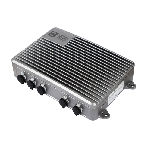
Stonex
Professional Total Station Controller
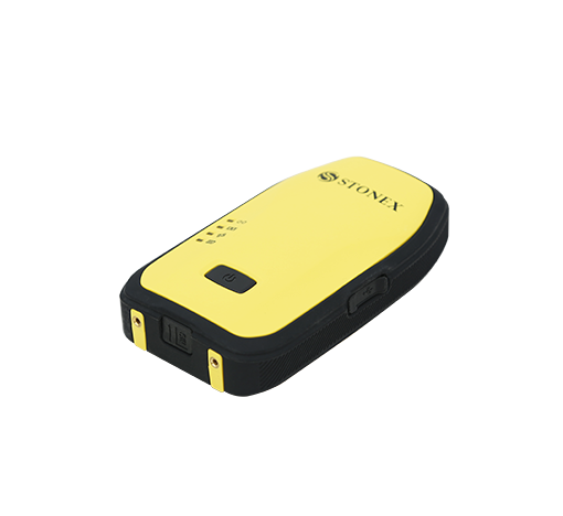
Stonex
Wearable Data Collection Terminal
- Model
- M2 II
- Channels
- 372, Hemisphere
- Update Rate
- 20 Hz
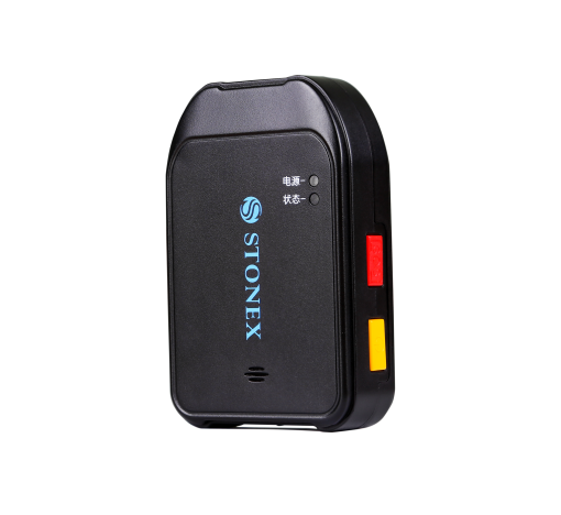
Stonex
Wearable Precision Positioning Terminal
- Sub-item
- Description
- Cellular
- 4G (optional)
- Charging
- Type-C
CHCNAV
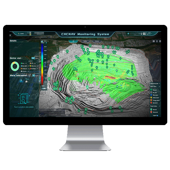
Automated platform designed for real-time monitoring, data visualization, and alarm management. By integrating IoT,…
- Operating system
- Windows Server, MySQL
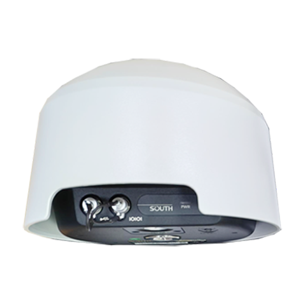
- Channel
- 1598 channels
- GPS
- L1C/A, L2C, L2E, L5
- GLONASS
- L1, L2, L3
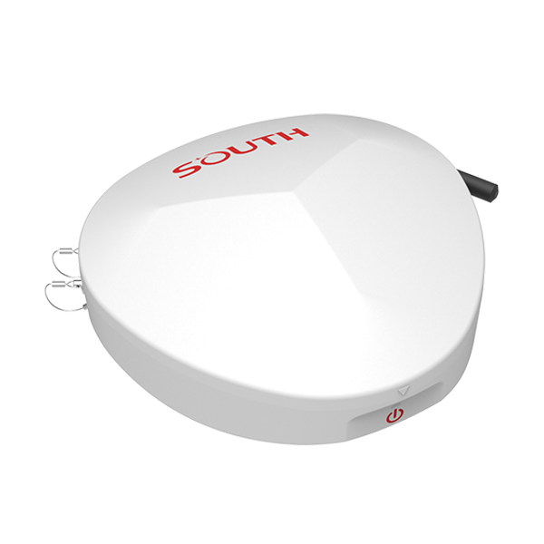
- Collected Interval
- 0s~24h
- Upload interval
- 0s~72h
- Output
- RS485, 3/4G
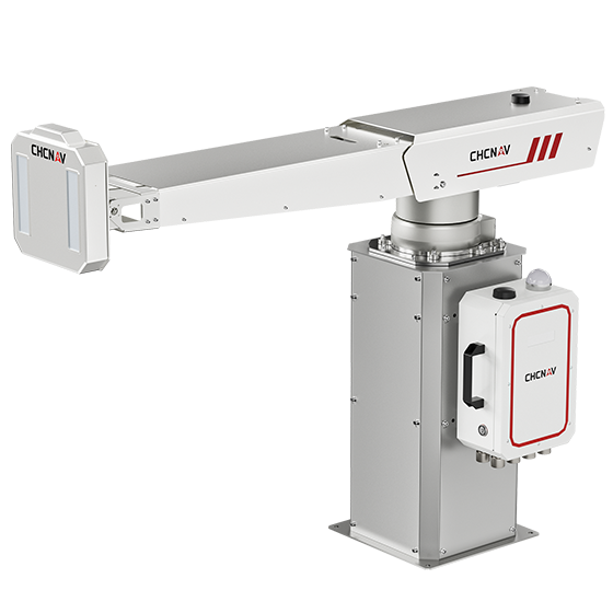
CHCNAV
The PS-2000 Multi-point Deformation Monitoring System is designed for high-precision slope stability monitoring. Utilizing…
- Range
- 30 - 5000 m
- Field of view
- 360°
- Update rate
- 360° in 120 s
