CHCNAV
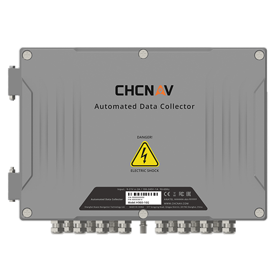
16-channel automated data collector designed for long term, unattended monitoring. It supports a wide…
- Channels
- 16
- Memory
- 32 MB
- Wireless
- 4G
CHCNAV
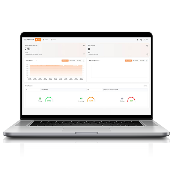
Software platform designed to capture precise position data and track dynamic changes in real…
CHCNAV
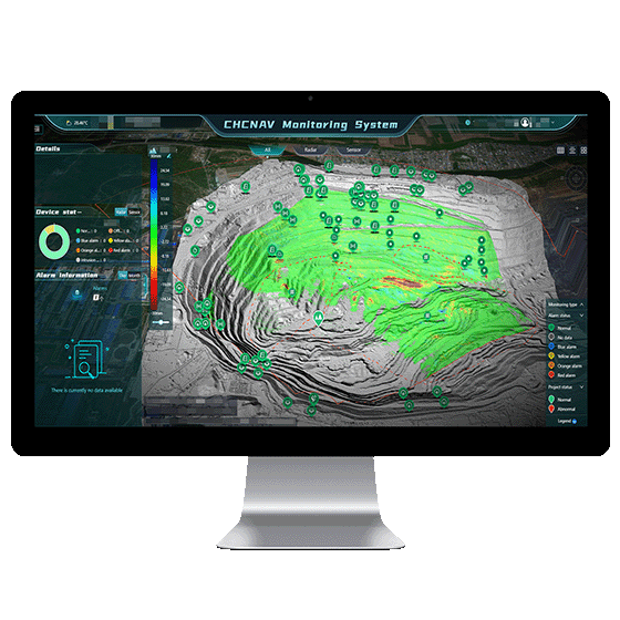
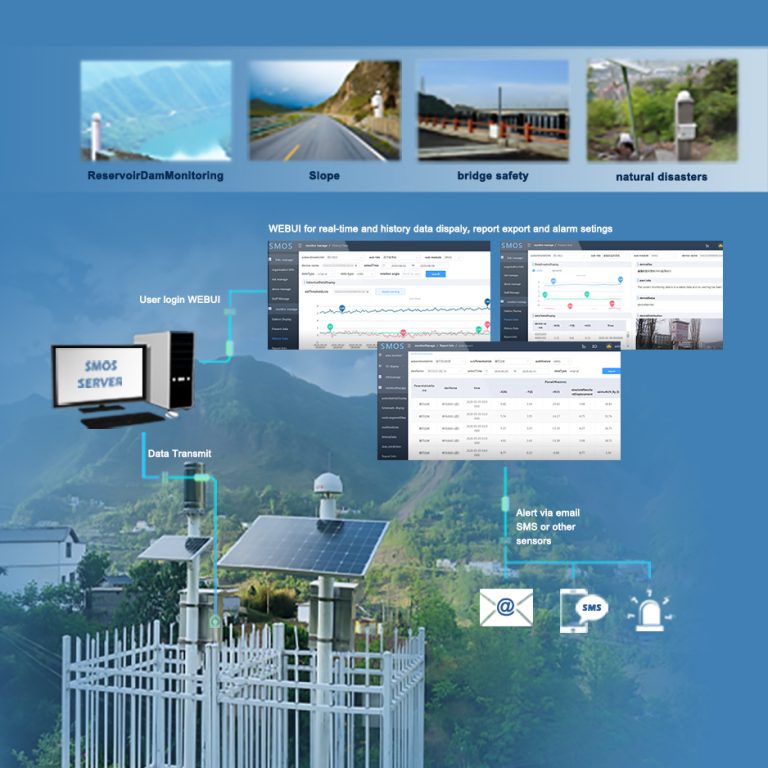
Automated platform designed for real-time monitoring, data visualization, and alarm management. By integrating IoT,…
- Operating system
- Windows Server, MySQL
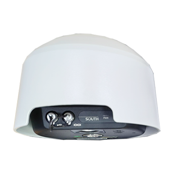
- Channel
- 1598 channels
- GPS
- L1C/A, L2C, L2E, L5
- GLONASS
- L1, L2, L3
- Collected Interval
- 0s~24h
- Upload interval
- 0s~72h
- Output
- RS485, 3/4G
CHCNAV
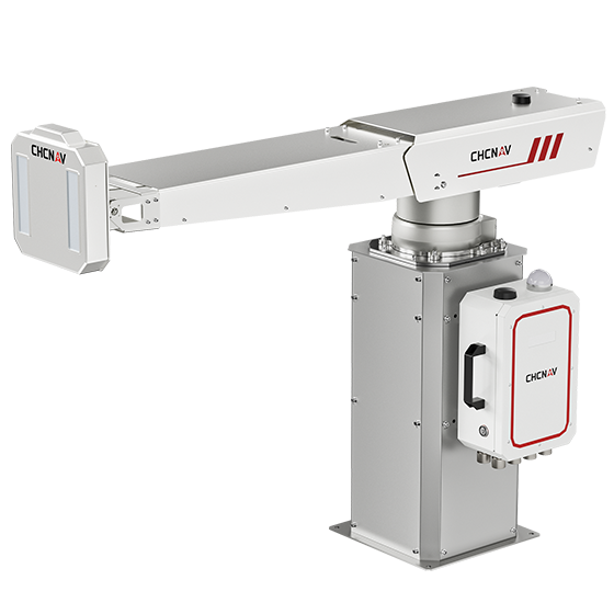
The PS-2000 Multi-point Deformation Monitoring System is designed for high-precision slope stability monitoring. Utilizing…
- Range
- 30 - 5000 m
- Field of view
- 360°
- Update rate
- 360° in 120 s
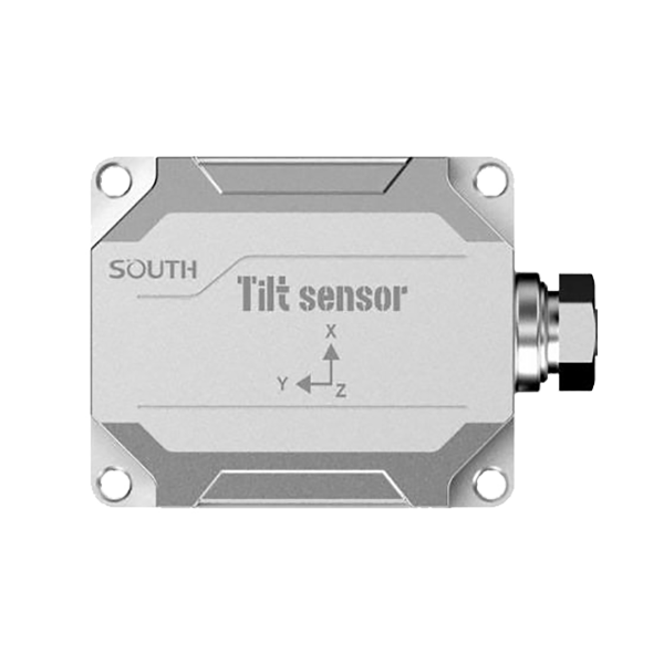
- Model
- TA-H TA-L
- Voltage
- DC 5 ~ 30V
- Power
- Less than 5mA@12V
CHCNAV
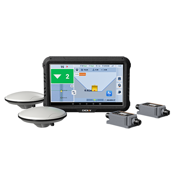
The EasyNAV EMG100 2.5D Excavator System is a precise and user-friendly solution designed for…
- GNSS
- Full GNSS
- Precision max.
- ±3 cm
- Display
- 10.1", Android, IP65
CHCNAV
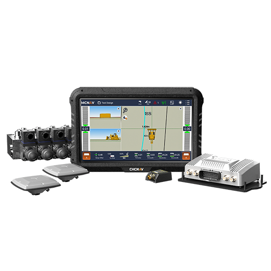
The TD63 PRO automatic 3D control system for dozers enhances the quality and efficiency…
- GNSS
- Full GNSS
- Precision max.
- 1 cm H / 1.5 cm V
- Display
- 10.1", Android, IP65
CHCNAV
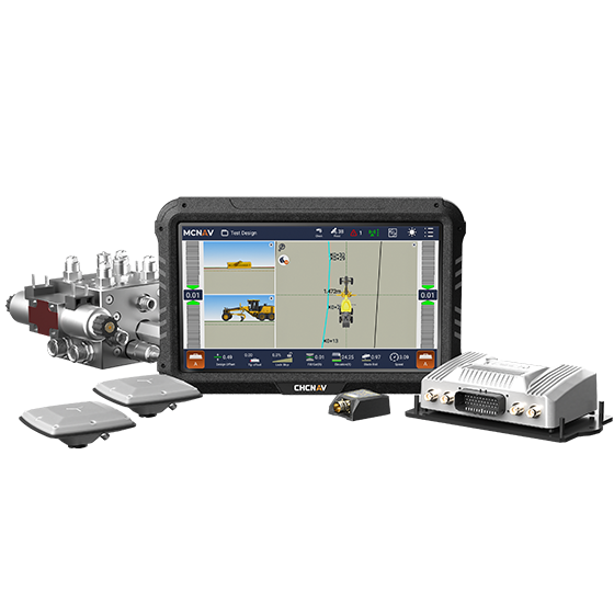
3D grade control system for graders that delivers automatic grader machine control on construction…
- GNSS
- Full GNSS
- Precision max.
- 1 cm H / 1.5 cm V
- Display
- 10.1", Android, IP65
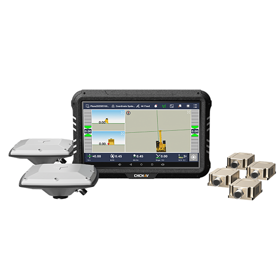
CHCNAV
3D guidance system designed to enhance the efficiency of excavation work. Utilizing dual-GNSS modules,…
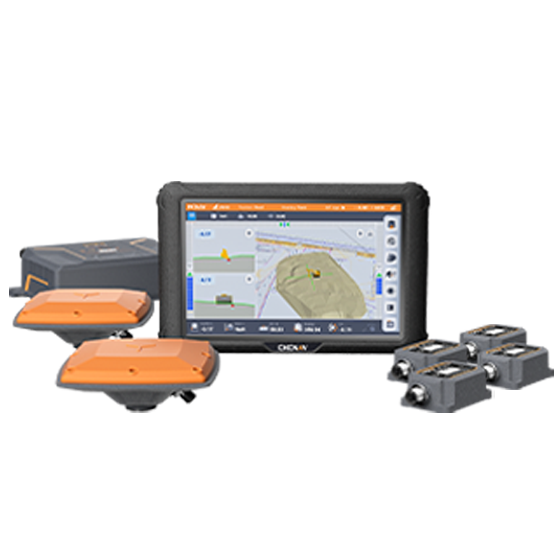
CHCNAV
The MCNAV TX73 is a 3D excavator machine control system that combines advanced GNSS…
- GNSS
- Full GNSS
- Precision max.
- 1 cm H / 1.5 cm V
- Display
- 10.1", Android, IP65
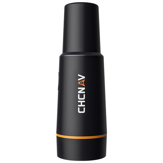
CHCNAV
Portable GNSS receiver designed for use with CHCNAV auto steering systems. It integrates an…
- GNSS
- Full GNSS
- Precision max.
- ≤ 2.5 cm
- Display
- Mobile phone APP
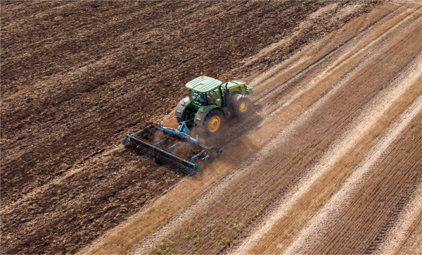
Hi-Target
Auto-Steering System
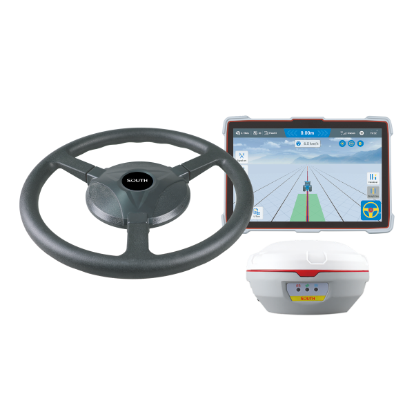
SOUTH
Precision agriculture
- Velocity accuracy
- <0.02 m/s
- Initialization Time
- <10 s
- Pass to pass accuracy
- ±2.5cm
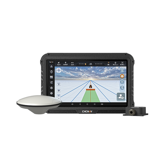
CHCNAV
Manual GPS guidance system that helps farmers steer tractors and other agricultural vehicles accurately…
- GNSS
- Full GNSS
- Precision max.
- Sub-meter
- Display
- 10.1", Android
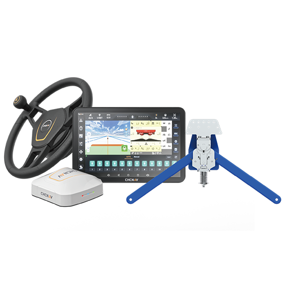
CHCNAV
Assisted steering system designed specifically for harvesters. Using advanced crop-row sensors, it detects the…
- Precision max.
- ±40 degrees
- Steering control
- ±8 cm
- Range
- Up to 15 km/h

Hi-Target
Friendly Interface Comprehensive Management Real-time Visualization Precision Agriculture Intelligent Scheduling
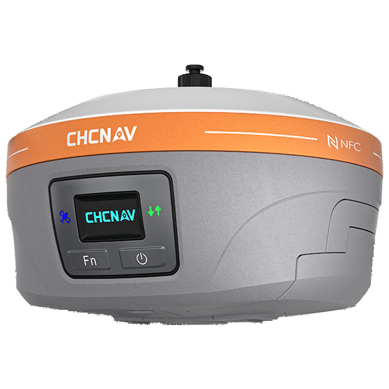
CHCNAV
Fully integrated GNSS station designed to enhance the efficiency and productivity of agricultural operations.…
- GNSS
- Full GNSS
- Precision max.
- 0.8 cm H / 1.5 cm V
- Camera
- No
CHCNAV
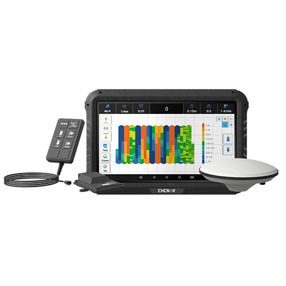
Advanced land leveling system integrating GNSS RTK technology and electro-hydraulic controls to automate the…
- GNSS
- Full GNSS
- Precision max.
- ±2 cm
- Display
- 10.1", Android
CHCNAV
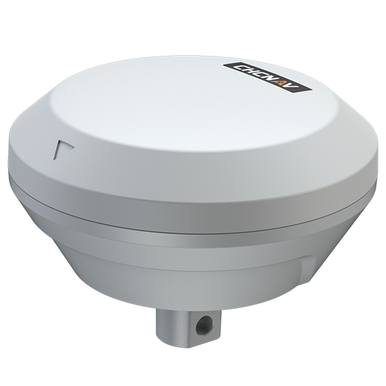
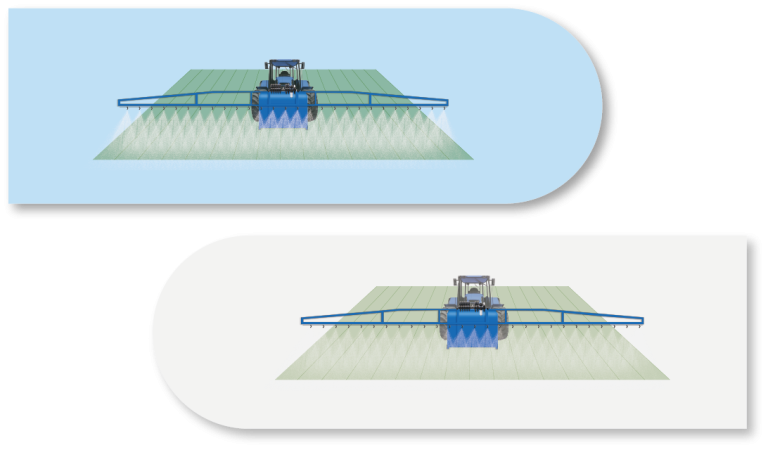
Precision implement guidance system designed to improve straight-line accuracy and row spacing for mounted…
- GNSS
- Full GNSS
- Precision max.
- ≤ 2.5 cm
- IMU
- Inside
Hi-Target
Precision agriculture
- 12V
- Operating Voltage
- 5
- Number of Sections
