

CHCNAV
CGBAS
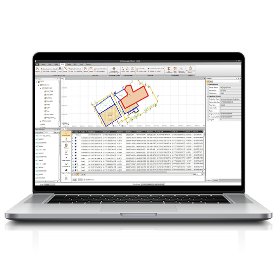
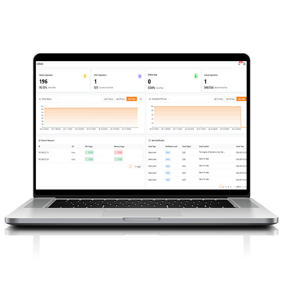
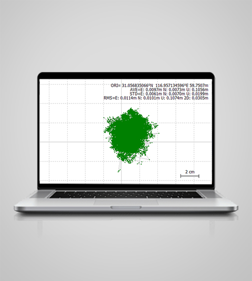
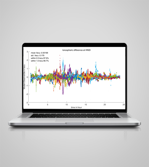
The CGBAS platform is a comprehensive, server-based solution designed to manage and operate GNSS CORS and RTK networks on a regional or nationwide scale. Utilizing advanced algorithms, CGBAS establishes models to solve ionospheric delay, tropospheric delay, orbit errors, and more, ensuring high-quality and reliable RTK…
Original CHCNAV unit·Authorized distributor
Overview
About the CGBAS
The CGBAS platform is a comprehensive, server-based solution designed to manage and operate GNSS CORS and RTK networks on a regional or nationwide scale. Utilizing advanced algorithms, CGBAS establishes models to solve ionospheric delay, tropospheric delay, orbit errors, and more, ensuring high-quality and reliable RTK corrections. With support for protocols like direct TCP/IP and NTRIP, along with user management features, CGBAS delivers dependable GNSS corrections for a wide range of applications.
Specifications
Technical data
Values from the CHCNAV datasheet. Ask us for the full sheet or a side by side with another model.
Download datasheet (PDF)System
- Operating system
- Linux, Windows Server, Kylin
- Languages
- English, Chinese, Customizable
Features
- Functions
- Web-based GNSS RTK augmentation services
- Modules
- Stations, Subscriptions, Processing ...
Downloads
Datasheets and manuals
Free PDFs for the CGBAS. Need a manual in another language? Ask us and we will send it.
- CGBAS datasheetEN · PDF · 1.5 MB EN Download
Related
All softwareView all
Similar software
ComNav
Compass Solution
Independently developed software by ComNav for GNSS static and Dynamic post-processing analysis. lt supports…
Get a quote
Get a quote for CGBAS
Tell us how many units and where they ship. An engineer replies with price, lead time and freight within 24 hours.
- Reply within 24 hours
- Original units with serial numbers
- Local coordinate system preset
Reply within 24 h · Original units · Local datum preset