
Software
39 Software models. Every unit is original and ships with your local coordinate system preset.
39models
3 to 7days to dispatch
UniStrong
BeyonDB V5
Enterprise-grade, cross-platform, distributed, and highly secure database management system software with independent intellectual property…
- Specification
- Parameter
- Network Protocol
- Supports TCP/IP
- Clustering Modes
- Sharding, replication

Hi-Target
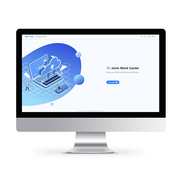
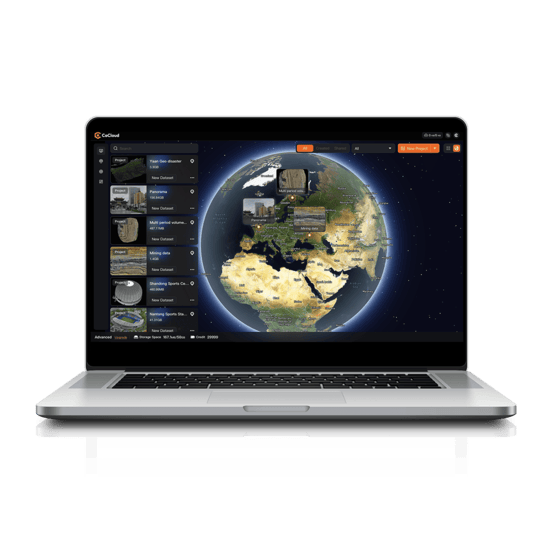
Business Center
Hi-Target Business Center HBC, the all-in-one post-processing desktop software, supports processing multi-sourced data from…
ComNav
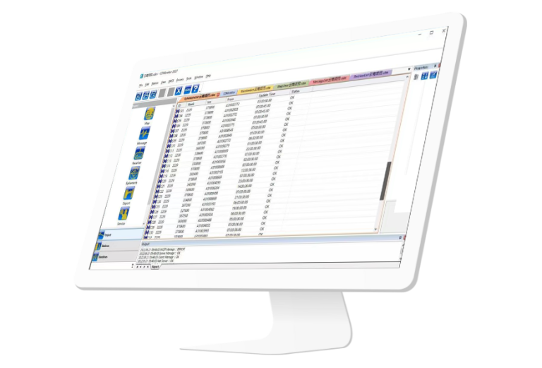
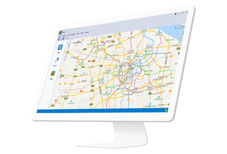
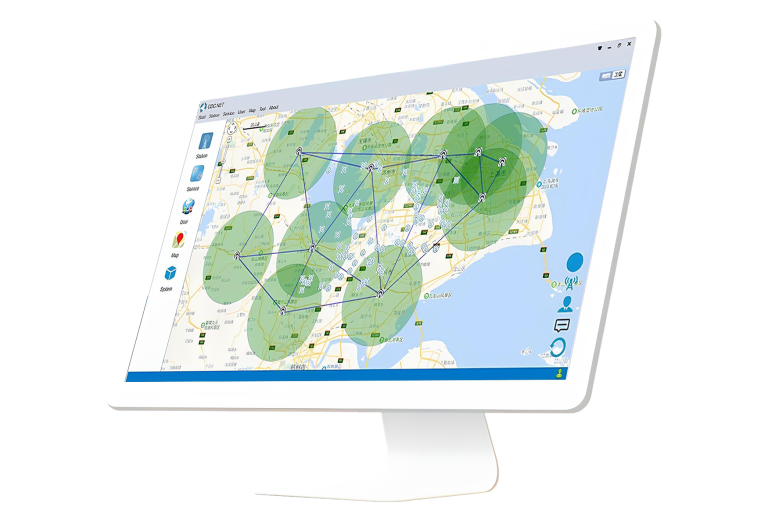
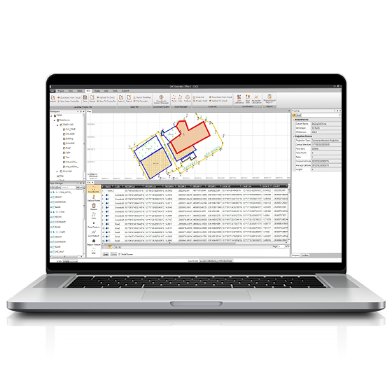
CD Monitor
CDMonitor software is a professional deformation monitoring tool. lt can simultaneously perform real-time three-dimensional…
ComNav
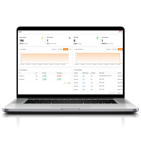
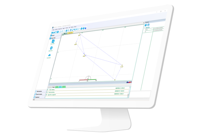
Compass Solution
Independently developed software by ComNav for GNSS static and Dynamic post-processing analysis. lt supports…
CHCNAV
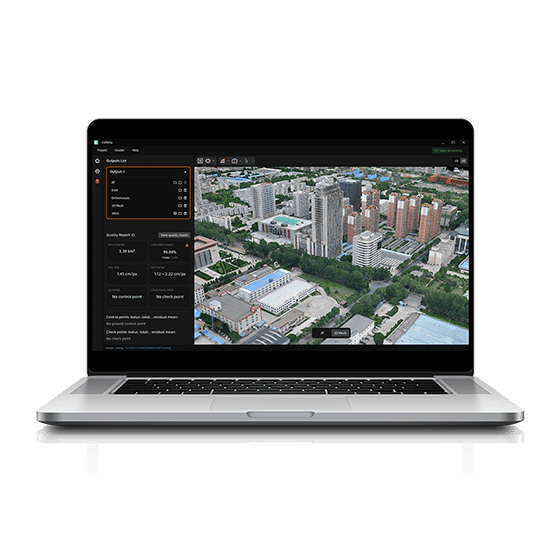
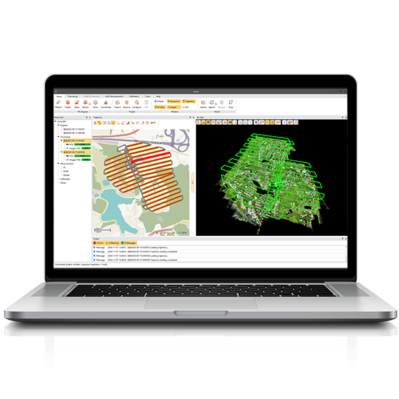
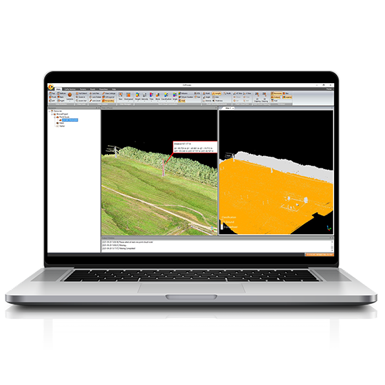
CoProcess Classic
Powerful software solution tailored to the post-processing of massive point cloud data. It seamlessly…
- Operating system
- Windows
- Languages
- English, Chinese,
- File formats
- codata,las, and more.
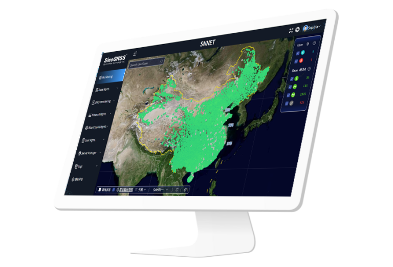
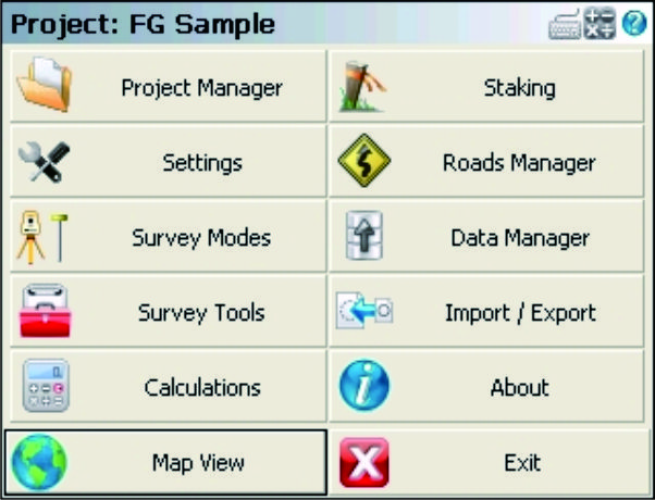
FOIF
FieldGenius
FOIF FieldGenius is professional surveying and mapping software, with user-friendly toolbars, powerful modules and…
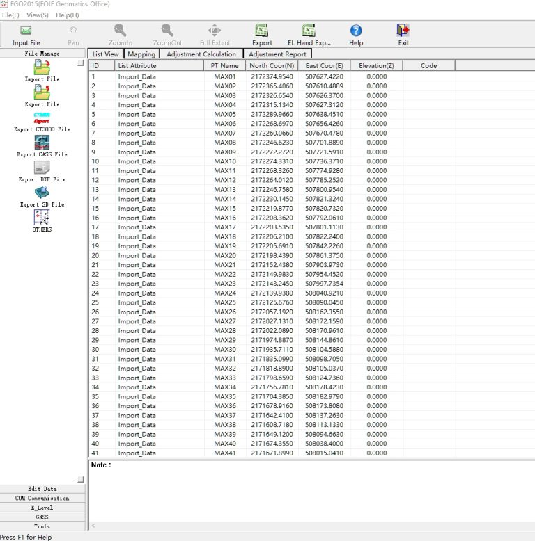
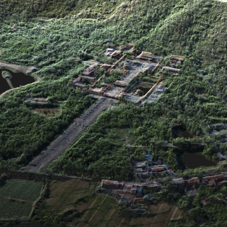
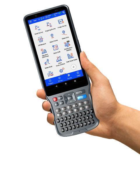
Hi-Target
Hi-Survey Software
Hi-Survey Hi-Survey is an Android software that is designed for all types of land…
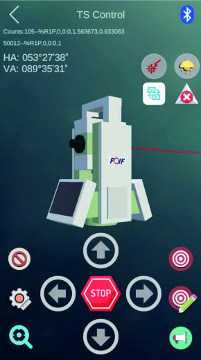

UniStrong
JiZhiDiao Industry GIS Survey Software
Developed to meet the operational needs of various resource surveys and censuses, "JiZhiDiao" integrates…
Not sure which model fits your job?
Tell us the work, the accuracy you need and your budget. An engineer replies with two or three options and prices within 24 hours.