


CHCNAV
CGO
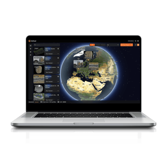
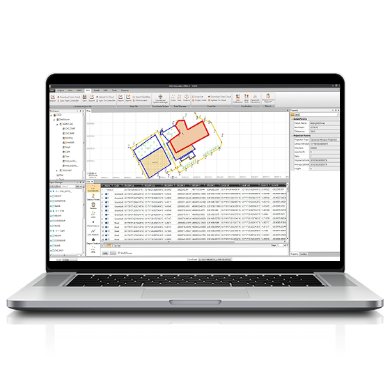
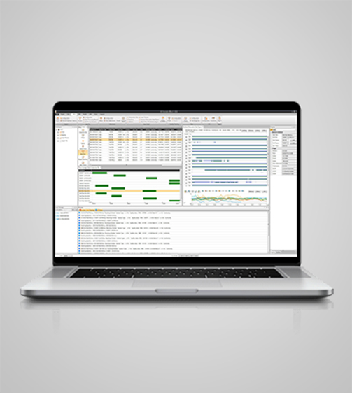
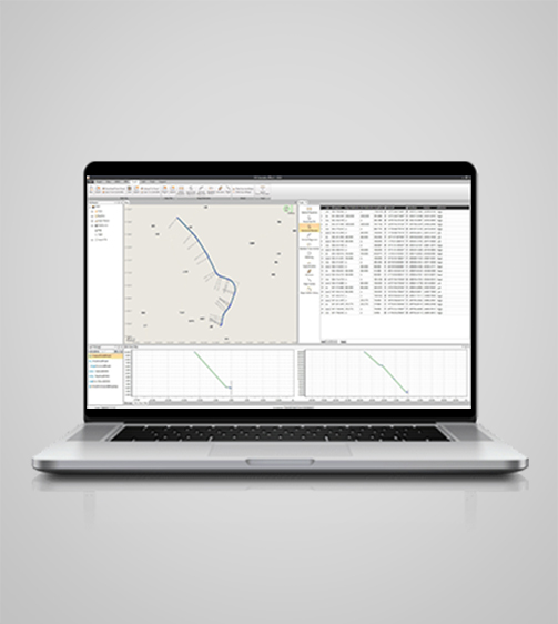
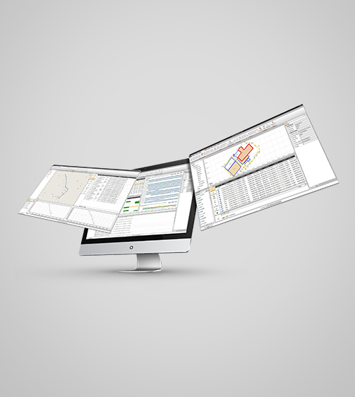
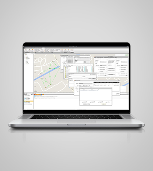
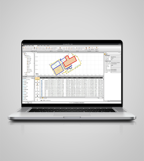
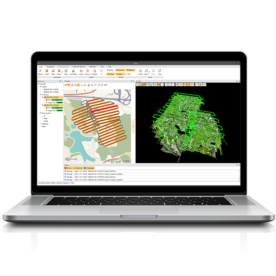
CGO software is designed to edit, process, and analyze GNSS data, delivering high-precision positioning results for a wide range of applications. It serves as a sophisticated yet user-friendly platform bridging the gap between field survey activities and GNSS post-processing needs.
Original CHCNAV unit·Authorized distributor
Overview
About the CGO
CGO software is designed to edit, process, and analyze GNSS data, delivering high-precision positioning results for a wide range of applications. It serves as a sophisticated yet user-friendly platform bridging the gap between field survey activities and GNSS post-processing needs. Ideal for geodetic and surveying tasks, UAV trajectography, ground control points (GCPs), and road construction projects, CGO ensures efficient and accurate workflow from data collection to final analysis.
Specifications
Technical data
Values from the CHCNAV datasheet. Ask us for the full sheet or a side by side with another model.
Download datasheet (PDF)System
- Operating system
- Windows
- Languages
- English, Russian, Chinese
Interface
- Map interface
- Vector data, raster data
- User menu
- Customizable and process wizards
Features
- Functions
- GNSS data processing
- File formats
- GPS, GLONASS, BeiDou, Galileo, QZSS raw
Downloads
Datasheets and manuals
Free PDFs for the CGO. Need a manual in another language? Ask us and we will send it.
- CGO datasheetEN · PDF · 1.4 MB EN Download
Related
All softwareView all
Similar software
ComNav
Compass Solution
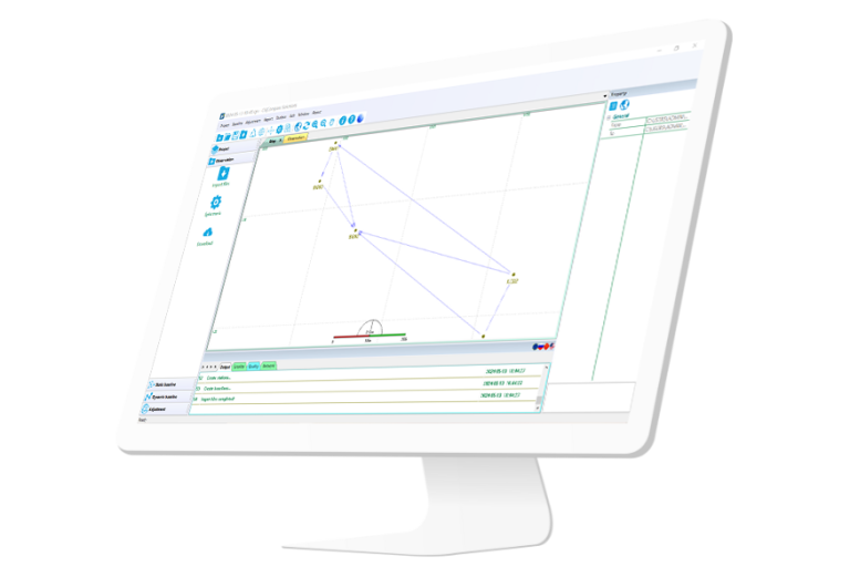
Independently developed software by ComNav for GNSS static and Dynamic post-processing analysis. lt supports…
Get a quote
Get a quote for CGO
Tell us how many units and where they ship. An engineer replies with price, lead time and freight within 24 hours.
- Reply within 24 hours
- Original units with serial numbers
- Local coordinate system preset
Reply within 24 h · Original units · Local datum preset