

CHCNAV
CoCloud
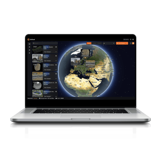
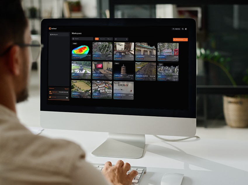
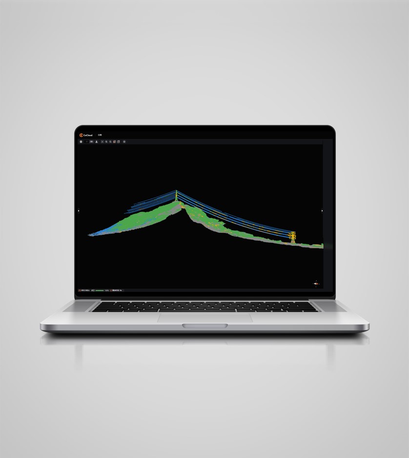
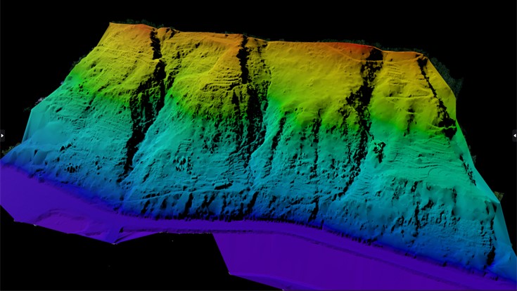
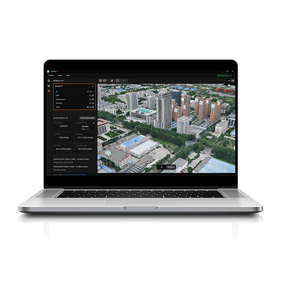
CoCloud is a cloud-based 3D processing and visualization platform that transforms captured spatial data into 3D deliverables. Users can upload field data and automatically generate point clouds, orthophotos, 3D models, and 3D Gaussian Splatting results without high-performance computers or complex software.
Original CHCNAV unit·Authorized distributor
Overview
About the CoCloud
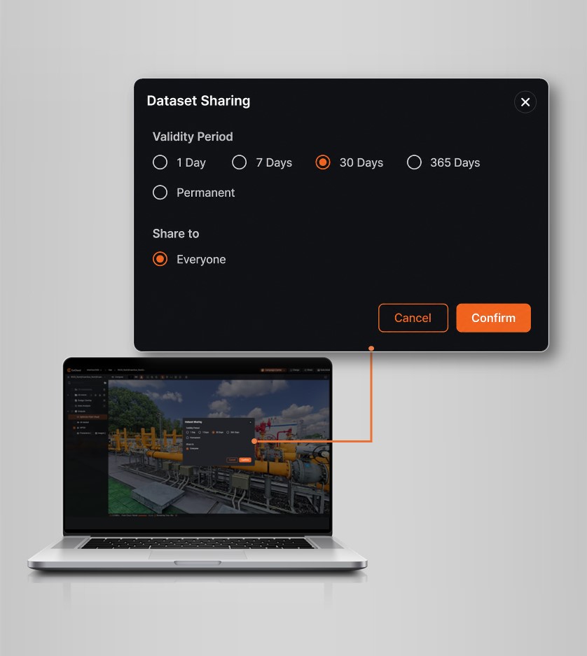
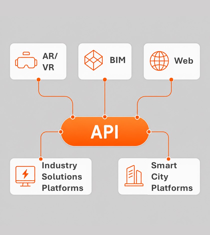
CoCloud is a cloud-based 3D processing and visualization platform that transforms captured spatial data into 3D deliverables. Users can upload field data and automatically generate point clouds, orthophotos, 3D models, and 3D Gaussian Splatting results without high-performance computers or complex software. CoCloud also provides online measurement, annotation, analysis, sharing, APIs, and private deployment options, helping organizations transform 3D data into actionable digital assets.
Specifications
Technical data
Values from the CHCNAV datasheet. Ask us for the full sheet or a side by side with another model.
Download datasheet (PDF)System
- Operating system
- Cloud-Native
- Languages
- English, Chinese, French, Russian, Japanese, Korean
Features
- Functions
- Process, store and manage data from CHCNAV AA9, AA10, RS10 series and more
- File formats
- .zip
- Modules
- Free plan, Basic, Advanced
Videos
See the CoCloud at work
1:57
LIDAR imagery processing introduction
Product video · Official CHCNAV video
Downloads
Datasheets and manuals
Free PDFs for the CoCloud. Need a manual in another language? Ask us and we will send it.
- CoCloud datasheetEN · PDF · 2.4 MB EN Download
Related
All softwareView all
Similar software
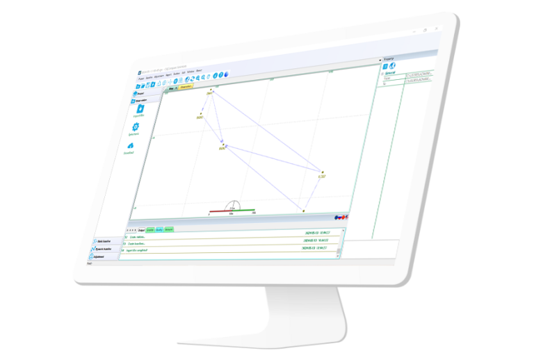
ComNav
Compass Solution
Independently developed software by ComNav for GNSS static and Dynamic post-processing analysis. lt supports…
Get a quote
Get a quote for CoCloud
Tell us how many units and where they ship. An engineer replies with price, lead time and freight within 24 hours.
- Reply within 24 hours
- Original units with serial numbers
- Local coordinate system preset
Reply within 24 h · Original units · Local datum preset