

ComNav
Compass Solution
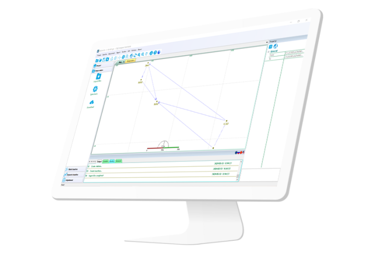
Independently developed software by ComNav for GNSS static and Dynamic post-processing analysis. lt supports…
Authorized distributor of original survey instruments·Dispatch in 3 to 7 working days·DDP / CIF / FOB
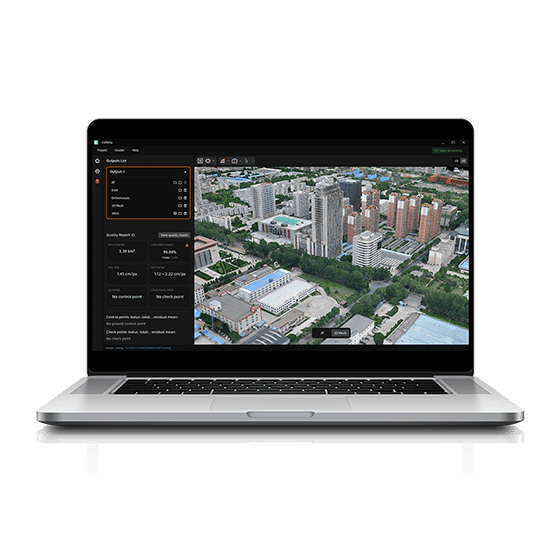
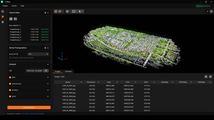
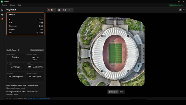
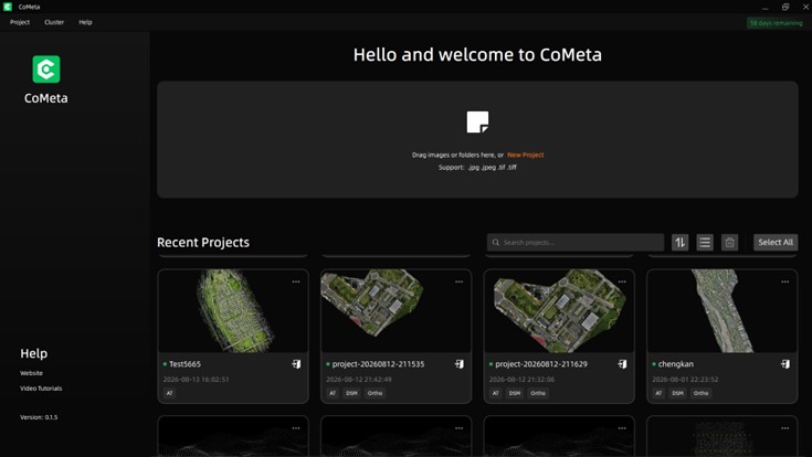
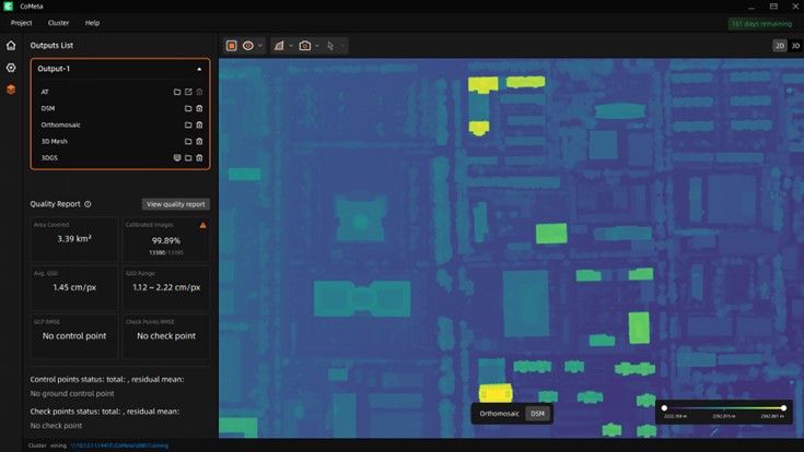
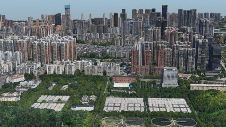
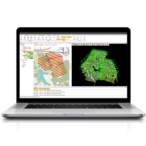
CoMeta is professional photogrammetry and 3D modeling software for UAV mapping and large-scale 3D reconstruction. It transforms aerial imagery into accurate orthomosaics, DSMs, textured meshes, and photorealistic 3D Gaussian Splatting models within one integrated workflow.
Original CHCNAV unit·Authorized distributor
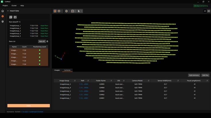
CoMeta is professional photogrammetry and 3D modeling software for UAV mapping and large-scale 3D reconstruction. It transforms aerial imagery into accurate orthomosaics, DSMs, textured meshes, and photorealistic 3D Gaussian Splatting models within one integrated workflow. Built for surveying, engineering, digital twins, urban renewal, and professional visualization, CoMeta combines scalable processing, broad device compatibility, and production-ready geospatial outputs.
Values from the CHCNAV datasheet. Ask us for the full sheet or a side by side with another model.
Download datasheet (PDF)Product video · Official CHCNAV video
Free PDFs for the CoMeta. Need a manual in another language? Ask us and we will send it.
Independently developed software by ComNav for GNSS static and Dynamic post-processing analysis. lt supports…
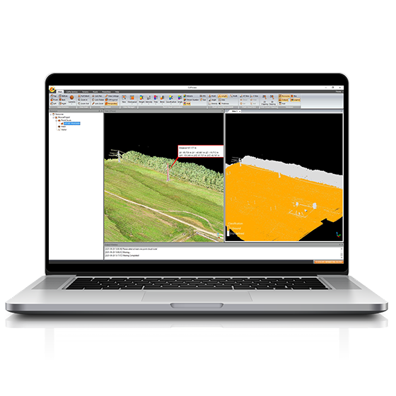
Powerful software solution tailored to the post-processing of massive point cloud data. It seamlessly…
Tell us how many units and where they ship. An engineer replies with price, lead time and freight within 24 hours.
Reply within 24 h · Original units · Local datum preset