

KOLIDA
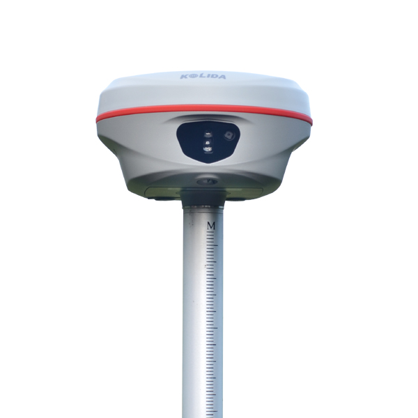
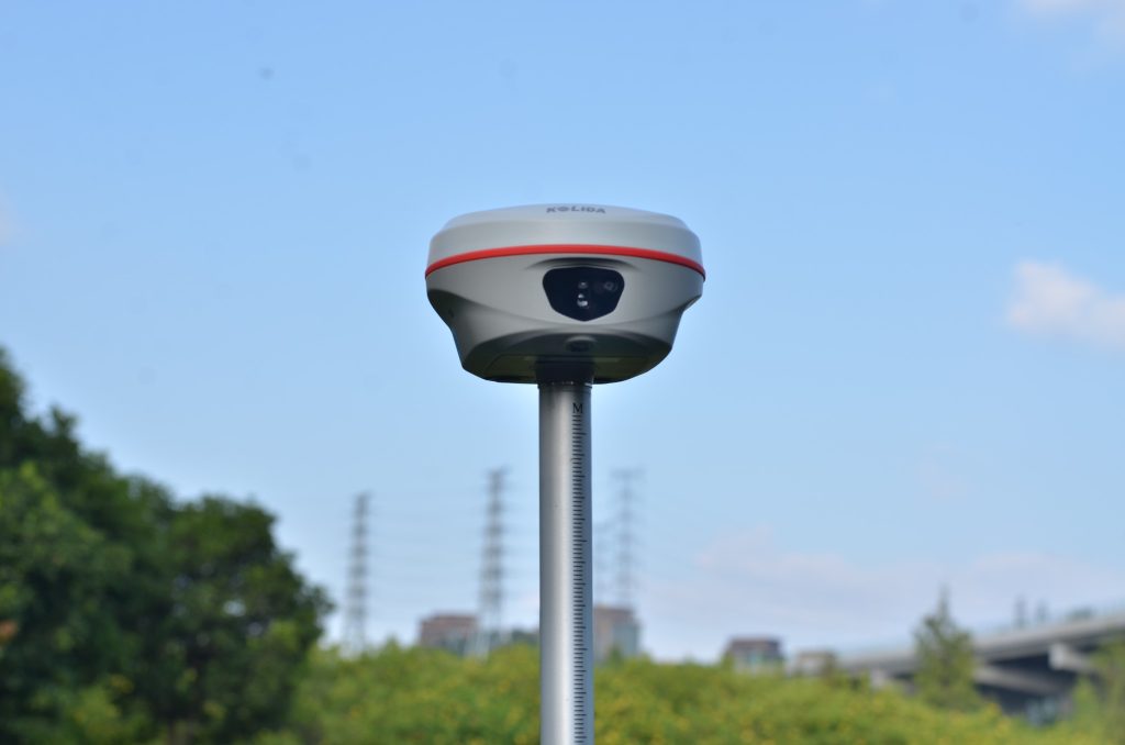
K60 GNSS RTK Receiver
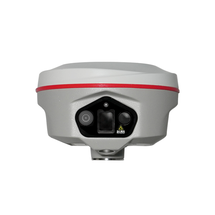
Laser measuring & Stakeout, Visual + AR stake out
Original KOLIDA unit·Authorized distributor
Overview
About the K60
- 01
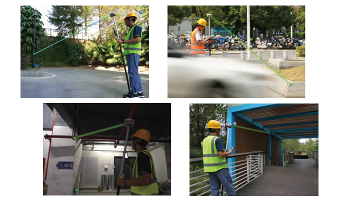
Laser Shooting Laser aiming and measuring
- 02
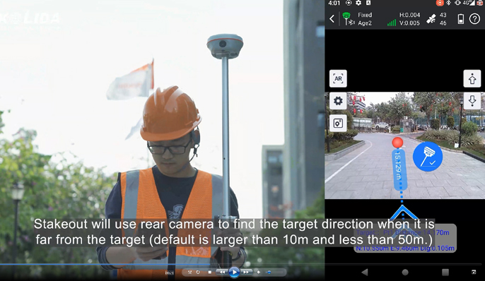
VAR Stakeout Visual + AR Stakeout
- 03
1698 Channels All Constellation Signal Tracking
- 04
Farlink 2.0 Advanced UHF Radio
Laser helps you,
Literally. The old way to do more work and obtain more result was to work harder and work bravely. But it makes surveyor tired. The all-new laser RTK way is to add a new laser module on hardware and software. The resuilt is 20% even more efficient than you'd get from a traditional GNSS RTK. And it kicks in the instant you press the botton on controller app. The laser module and GNSS module work together seamlessly to measure the target that you were difficult to reach before. Until you experience it, you won't know what the future holds. See the example video from https://www.youtube.com/watch?v=ZcpqyoS47RI
Driven
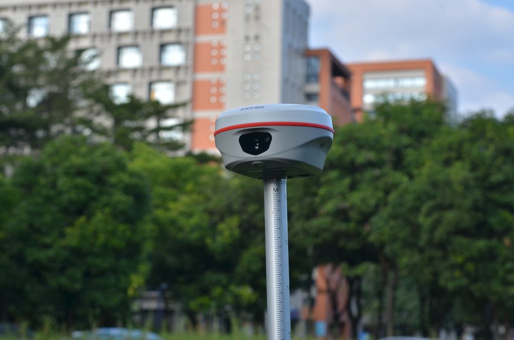
by Intuition. With the new Visual & AR Stakeout function, every journey is an intuitive one. A new 8MP front camera and 2MP bottom camera combining with AR technology provide precise direction and dynamic responsiveness, perfect for those who prefer to lead, not follow. Let your intuition lead you to the right destination. Watch video at https://www.youtube.com/watch?v=M-vjnyzKseM
Superior
Utility & Stability K60 can track signals of all constellations satellites at the same time and capture weak signals under canopies hence better success rate and speed of obtaining a fixed solution. It is possible to get fixed where previously under the dense forest or surrounded by buildings cannot. PPP and HAS are available.
Ksurvey App,
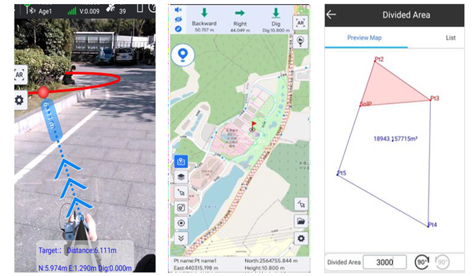
Increase Your Output. Ksurvey App features a series of practical and unique functionalities: Measure & Draw, CAD Drawing, Visual Positioning, CAD Stakeout, Area Division... (Video: https://www.youtube.com/playlist?list=PL3pUfw29oHQPucI0RkexQOyANywA2efjf ) Ksurvey also enable users to work it with Kolida total stations.
Specifications
Technical data
Values from the KOLIDA datasheet. Ask us for the full sheet or a side by side with another model.
Download datasheet (PDF)Satellite Tracking Ability
- Channels 1698 channels
- Constellation GPS, GLONASS, BEIDOU, GALILEO, QZSS , SBAS / L-Band BDS PPP & Galileo HAS
- Positioning Output Rate 1-20 HZ
- Initialization Time 2-8 s
Positioning Precision
- UHF RTK Horizontal ±8mm +1 ppm Vertical ±15mm +1 ppm
- Network RTK Horizontal ±8mm +0.5 ppm Vertical ±15mm +0.5 ppm
- Static and Fast-Static Horizontal ±2.5mm +0.5 ppm Vertical ±5mm +0.5 ppm
- RTK Initial time 2-8s
User Interaction
- Operation System Linux
- Screen Display Not Available / wifi Yes
- Voice Guide yes, 8 language
- Data Storage 16 GB internal, 64 GB external / Web UI Yes
Working Capability
- Laser Measuring Laser aiming and measuring coordinate
- Visual Stakeout with AR Uses Dual-Camera to stakeout pts, lines, CAD / OTG (Field Download) yes
- Radio Built-in transmitting and receiving, 1/2 W
- Tilt Survey Inertial Measurement / Electronic Bubble Yes
Satellite Tracking Ability
- Channels 1698 channels
- Constellation GPS, GLONASS, BEIDOU, GALILEO, QZSS , SBAS / L-Band BDS PPP & Galileo HAS
- Positioning Output Rate 1-20 HZ
- Initialization Time 2-8 s
Positioning Precision
- UHF RTK Horizontal ±8mm +1 ppm Vertical ±15mm +1 ppm
- Network RTK Horizontal ±8mm +0.5 ppm Vertical ±15mm +0.5 ppm
- Static and Fast-Static Horizontal ±2.5mm +0.5 ppm Vertical ±5mm +0.5 ppm
- RTK Initial time 2-8s
User Interaction
- Operation System Linux
- Screen Display Not Available / wifi Yes
- Voice Guide yes, 8 language
- Data Storage 16 GB internal, 64 GB external / Web UI Yes
Working Capability
- Laser Measuring Laser aiming and measuring coordinate
- Visual Stakeout with AR Uses Dual-Camera to stakeout pts, lines, CAD / OTG (Field Download) yes
- Radio Built-in transmitting and receiving, 1/2 W
- Tilt Survey Inertial Measurement / Electronic Bubble Yes
Downloads
Datasheets and manuals
Free PDFs for the K60. Need a manual in another language? Ask us and we will send it.
- K60 en 241207.pdfEN · PDF · 2.1 MB EN Download
Related
All GNSS RTK receiversView all
Similar GNSS RTK receivers
Get a quote
Get a quote for K60
Tell us how many units and where they ship. An engineer replies with price, lead time and freight within 24 hours.
- Reply within 24 hours
- Original units with serial numbers
- Local coordinate system preset
Reply within 24 h · Original units · Local datum preset