
ComNav
LS600 Laser Scanner
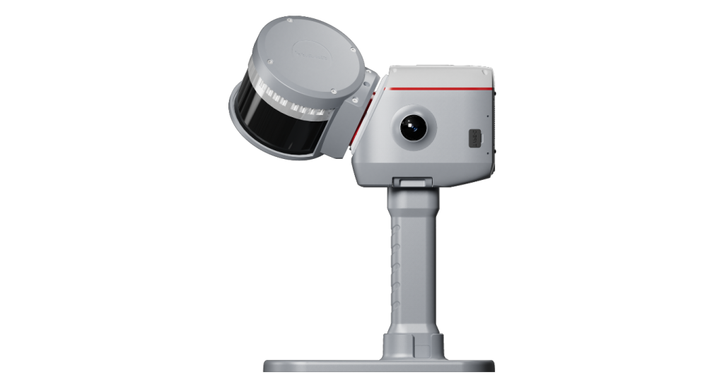
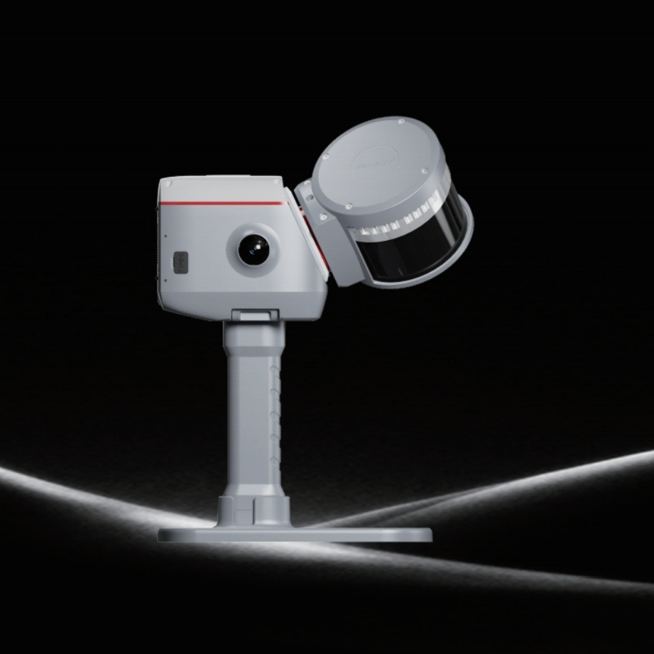
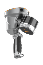
The LS600 is a next-generation handheld 3D laser scanner that seamlessly combines advanced SLAM technology, a built-in RTK module for centimeter-level accuracy, and dual wide-angle cameras for vivid color capture. Through multi-sensor fusion (LiDAR, IMU, and camera), the LS600 achieves robust performance in both indoor…
Original ComNav unit·Authorized distributor
Overview
About the LS600
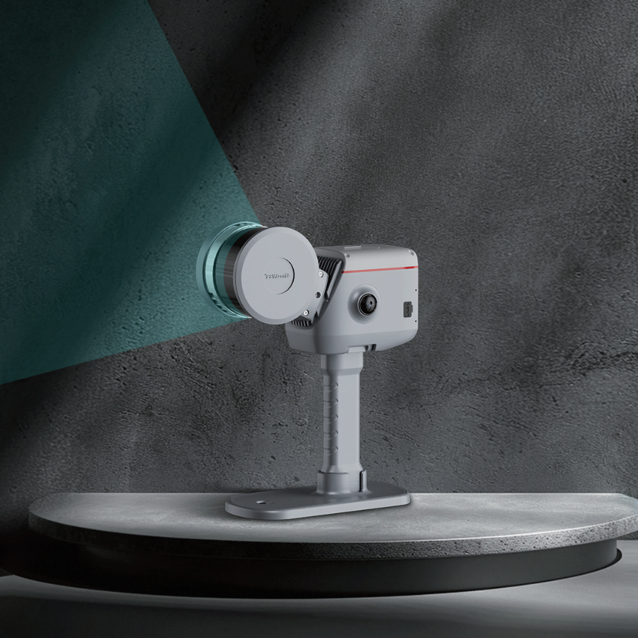
The LS600 is a next-generation handheld 3D laser scanner that seamlessly combines advanced SLAM technology, a built-in RTK module for centimeter-level accuracy, and dual wide-angle cameras for vivid color capture. Through multi-sensor fusion (LiDAR, IMU, and camera), the LS600 achieves robust performance in both indoor and outdoor environments—delivering high-speed scanning, richly detailed color point clouds, and streamlined post-processing. Its lightweight, all-in-one design ensures efficiency and reliability across diverse industries, from surveying and urban renewal to mining and emergency response.
- 01
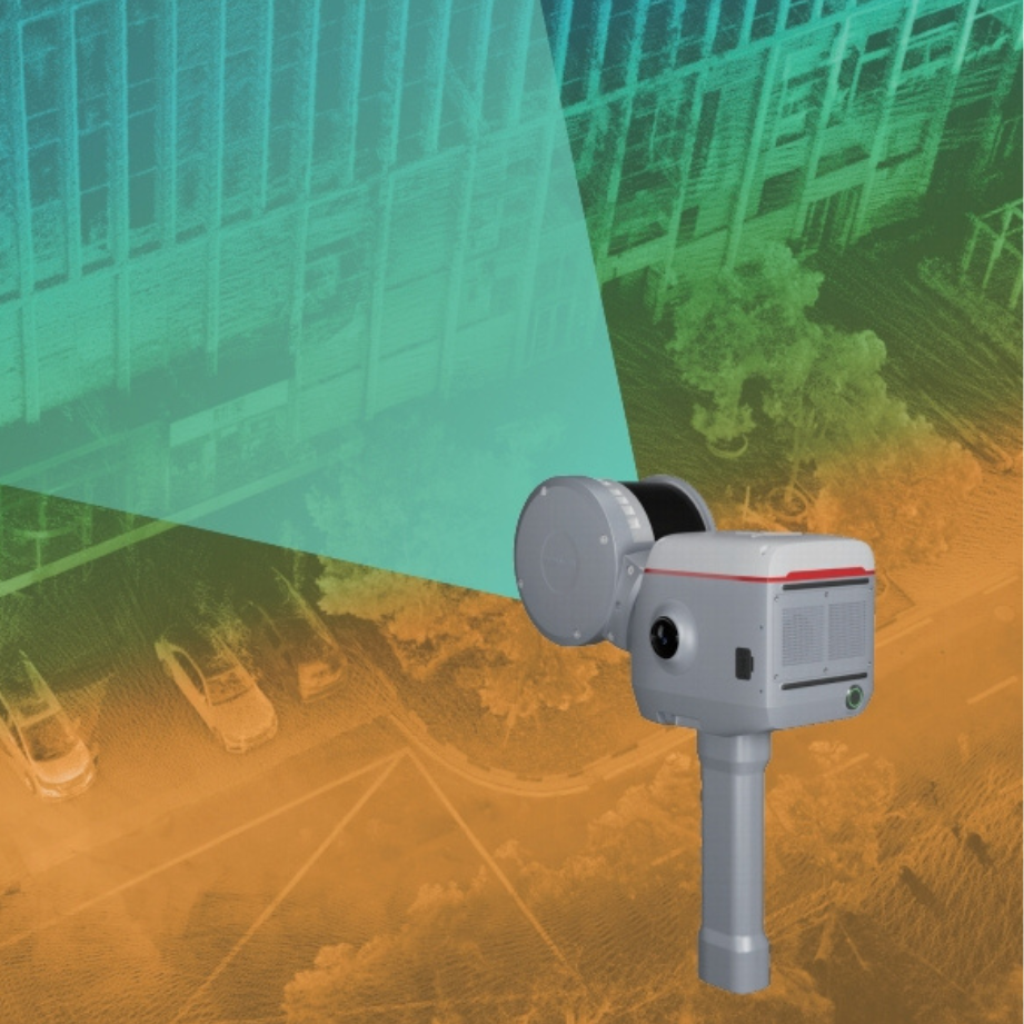
Equipped with dual 48MP cameras, capturing vivid color data. With V-SLAM, it generates detailed color point clouds
- 02
Powered by SinoGNSS's GNSS module, LS600 supports precise GNSS solutions, delivering centimeter-level performance
- 03
Features a built-in high-precision antenna, ensuring performance, supports pole connection for SLAM and RTK surveying
- 04
Integrates LiDAR, IMU, camera, and GNSS chip for reliable, high-precision performance in challenging environments
- 05
Supports backpack and extension pole kits, adapting to a wide range of environments—from urban surveying to mining exploration and beyond
- 06
Automated stitching, denoising, and rendering ensure efficient production of high-quality point clouds
Multi-Sensor Fusion and Environmental Adaptability
The LS600 integrates LiDAR, IMU, camera, and GNSS chip, ensuring stable performance in challenging environments like low-light, narrow spaces, or urban canyons. It supports backpack and extension pole kits, adapting to diverse scenarios from urban surveying to mining exploration.
High-Precision Multi-Mode Scanning
The LS600 offers 16-line or 32-line LiDAR configurations with a detection range of 120m or 300m, achieving scan rates of up to 320,000 points/sec (16-line) or 640,000 points/sec (32-line). Its built-in RTK module supports full-frequency GNSS, delivering centimeter-level accuracy, significantly enhancing field efficiency.
Dual-Lens Color Point Cloud Generation
Equipped with dual 48MP wide-angle cameras (190°×2 FOV), combined with visual-aided SLAM (V-SLAM), the LS600 generates high-precision, richly detailed color point clouds. It supports EDL mode to enhance edge clarity, providing more realistic visualization for in-depth data analysis.
Efficient Post-Processing with Flexible Coordinate Support
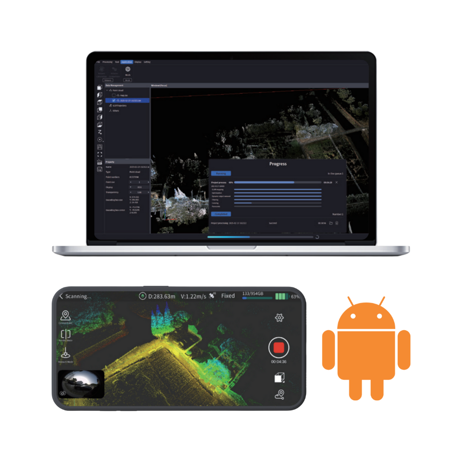
Featuring ScanMaster (Android) and RealEditor (PC) software, the LS600 supports automated stitching, denoising, and rendering, streamlining point cloud generation. It supports UTM, Gauss-Krüger, and other coordinate system projections, enabling direct, project-ready data output and seamless integration with GIS/CAD workflows, enhancing operational efficiency.
Downloads
Datasheets and manuals
Free PDFs for the LS600. Need a manual in another language? Ask us and we will send it.
- SinoGNSS LS600 Laser Scanner_EN.pdfEN · PDF · 3.7 MB EN Download
Related
All laser scanners and LiDARView all
Similar laser scanners and LiDAR
KOLIDA
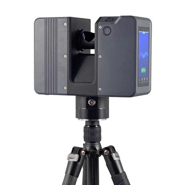
Pulsed Precise Terrestrial Laser Scanners
Pulsed Precise Scan technology Scanning Range: 0.6 ~ 1500m Scanning Accuracy: 3mm @ 100m…
Get a quote
Get a quote for LS600
Tell us how many units and where they ship. An engineer replies with price, lead time and freight within 24 hours.
- Reply within 24 hours
- Original units with serial numbers
- Local coordinate system preset
Reply within 24 h · Original units · Local datum preset