
KOLIDA
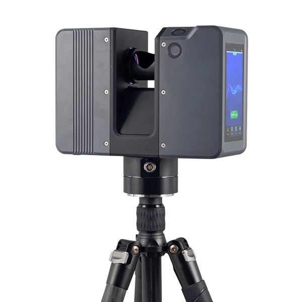
Pulsed Precise Terrestrial Laser Scanners
Pulsed Precise Scan technology Scanning Range: 0.6 ~ 1500m Scanning Accuracy: 3mm @ 100m…
Authorized distributor of original survey instruments·Dispatch in 3 to 7 working days·DDP / CIF / FOB
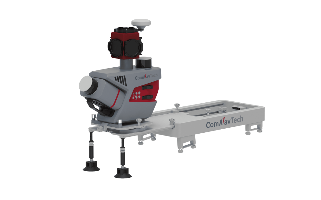
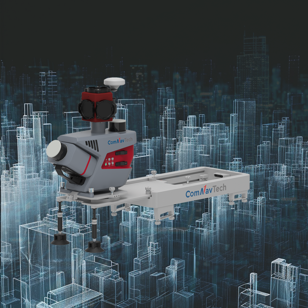

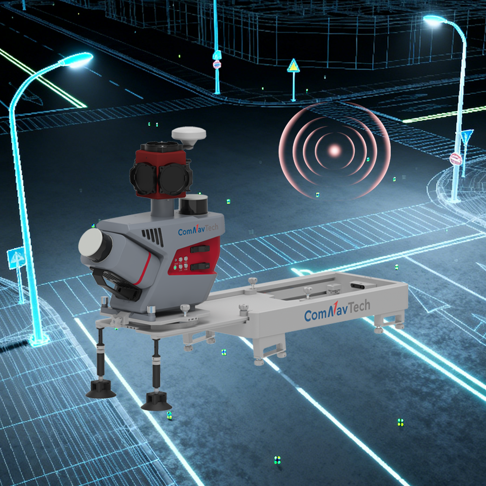
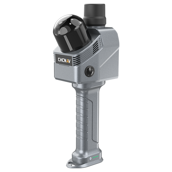
The ML300 affordable mobile laser scanning (MLS) system is equipped with two LiDAR sensors (one tilted at a 30-degree angle and one positioned horizontally) and a Ladybug5+ panoramic camera, enabling efficient 3D mapping of roads and surrounding environments. Paired with LiDAR360MLS software, it enables a…
Original ComNav unit·Authorized distributor
Easily Handles Complex Scenarios
Highly Integrated Flexible Installation
Instant insight, total control
Long-lasting power, continuous operation
Customizable Optional Sensors
Multi-industry Applications
The system integrates GNSS, IMU, DMI, and LiDAR SLAM technologies, enabling it to effortlessly handle a wide range of complex scenarios. It can also achieve precise 3D reconstruction of real-world environments, even in areas where GNSS signals are unavailable.
Integrated equipment with a quick-release design allows for rapid installation and removal. Seven predefined mounting angles (0°, ±15°, ±30°, ±45°) can be flexibly selected to meet the needs of different projects.
Compatible with optional pavement camera, front camera, DMI, and other external sensors. The pavement camera focuses on the road surface for a detailed pavement analysis. The front camera captures traffic signs at high resolution. The DMI provides assistance when satellite signals are blocked or unavailable, improving system stability.
Free PDFs for the ML300. Need a manual in another language? Ask us and we will send it.
Pulsed Precise Scan technology Scanning Range: 0.6 ~ 1500m Scanning Accuracy: 3mm @ 100m…
Tell us how many units and where they ship. An engineer replies with price, lead time and freight within 24 hours.
Reply within 24 h · Original units · Local datum preset