
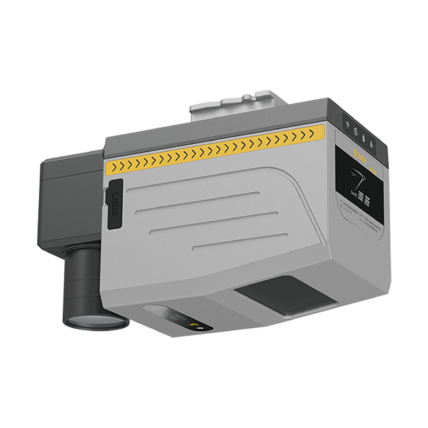
- product name
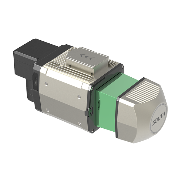
- SA130
- dimensions
- 164*102*138.3 mm
- weight
- 2 kg
Authorized distributor of original survey instruments·Dispatch in 3 to 7 working days·DDP / CIF / FOB
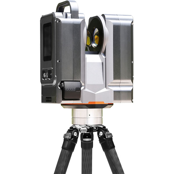
The X500 is a pulsed static 3D laser scanner that emits laser beams to acquire 3D surface coordinates and reflection intensity of target objects, serving as a non-contact active measurement system. It is designed for precision surveying and rapid acquisition of massive geometric 3D point…
Original UniStrong unit·Authorized distributor
The X500 is a pulsed terrestrial 3D laser scanner. By emitting laser pulses to scan and capture the 3D surface coordinates and reflected intensity of target objects, it serves as a non-contact active measurement system. It is designed for precision measurement and rapid acquisition of massive geometric 3D point cloud data in complex environments.
Independently developed by Stonex, the X500 delivers outstanding performance with fully localized key components. It offers user-friendly operation tailored to surveyor workflows and adapts to complex outdoor working environments. It supports an external camera to output true-color point cloud data and creates an extended-range Wi-Fi hotspot for wireless control via tablets, laptops, PDAs, or smartphones, enabling seamless scanning, workflow management, data storage verification, and export file creation in the field. Its built-in high-precision IMU module provides attitude sensing, enabling fast automatic point cloud registration even in underground spaces.
The Stonex X500 3D laser scanner is an ideal, cost-effective surveying and exploration tool for outdoor terrain, geology, open-pit mining, and related fields. Suitable for fleet deployment, it collects and exports high-precision data. Key applications include: topographic mapping and digital modeling; education and scientific research; mining, earthwork, geological, and hydraulic monitoring; highway and railway survey, deformation monitoring, construction, and as-built inspection; underground mine tunnels, archaeology, accident scene recording, 3D digital city construction, and numerous other fields.
Si-scan is an integrated geospatial solution for the management, display, analysis, presentation, and processing of airborne, mobile, and terrestrial LiDAR point cloud data. Operating on Windows, the Stonex X500 processing software Si-Scan integrates large-scale scene data management, intelligent editing tools, 3D modeling, as well as model-driven and special effects engines, delivering a comprehensive solution for rapid 3D scene reconstruction, walkthroughs, virtual reality, and visual simulation.
Values from the UniStrong datasheet. Ask us for the full sheet or a side by side with another model.
Tell us how many units and where they ship. An engineer replies with price, lead time and freight within 24 hours.
Reply within 24 h · Original units · Local datum preset