
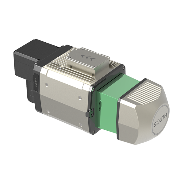
- Typ. flying height
- 120m | 200m | 250m
- Measurement rate
- max.800,000 pts/sec
- Scanning FOV
- up to 360° *2
Authorized distributor of original survey instruments·Dispatch in 3 to 7 working days·DDP / CIF / FOB
Ask us for price, lead time and freight to your country.
Original SOUTH unit·Authorized distributor
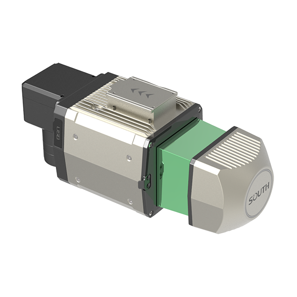
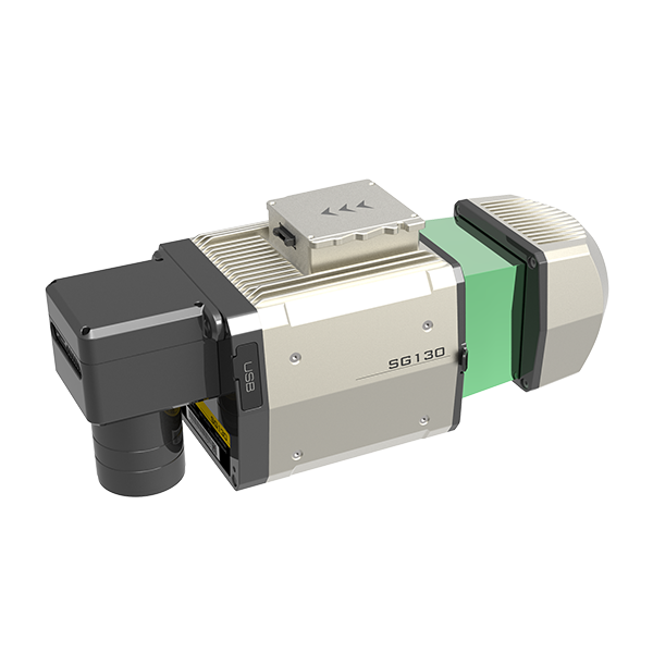
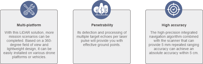
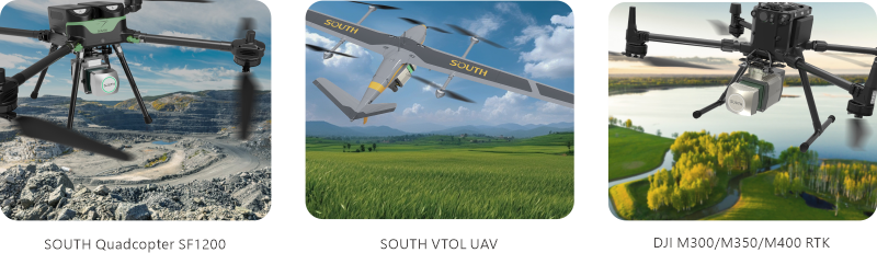
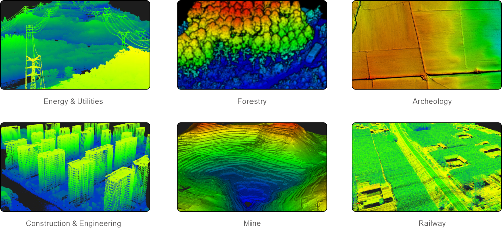
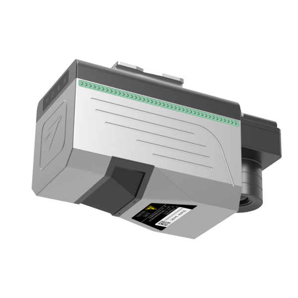
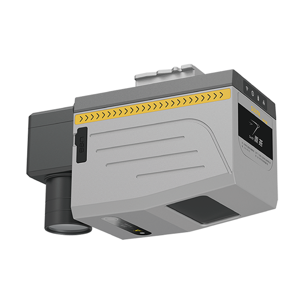
SG130 is a multi-platform LiDAR system that combines high-resolution laser scanning and precise positional data to collect geo-referenced point cloud, which is particularly designed for geospatial survey scanning from air to ground.
Values from the SOUTH datasheet. Ask us for the full sheet or a side by side with another model.
Download datasheet (PDF)Free PDFs for the AcuteLas. Need a manual in another language? Ask us and we will send it.
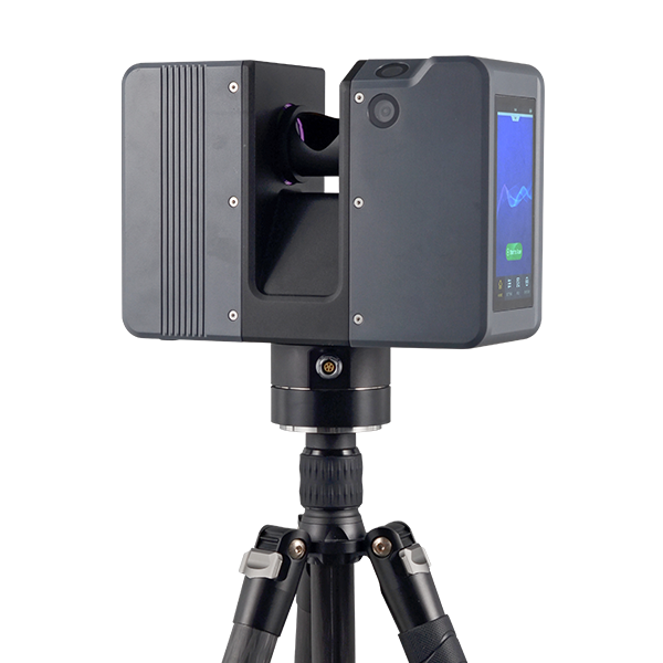
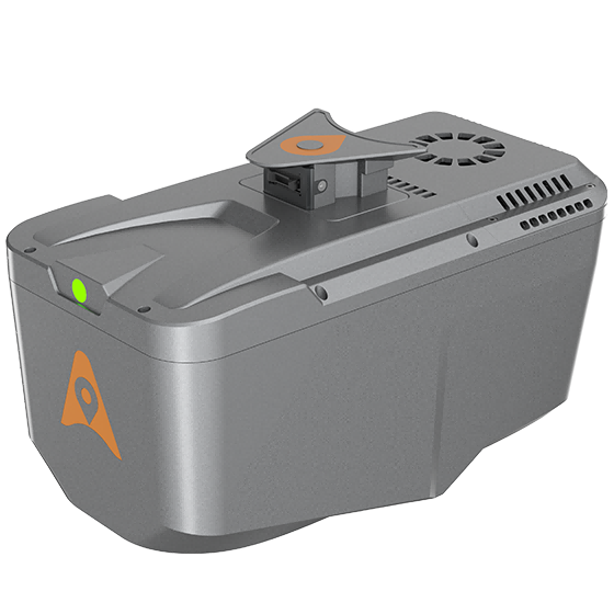
Professional airborne LiDAR+RGB system designed to meet the demanding requirements of UAV LiDAR mapping…
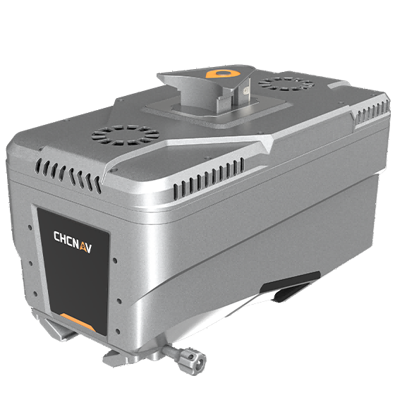
Lightweight, high-performance airborne LiDAR system designed for large-scale operations where high-density data capture is…
Tell us how many units and where they ship. An engineer replies with price, lead time and freight within 24 hours.
Reply within 24 h · Original units · Local datum preset