CHCNAV

AlphaAir 10 Laser Scanner

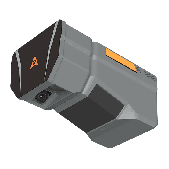
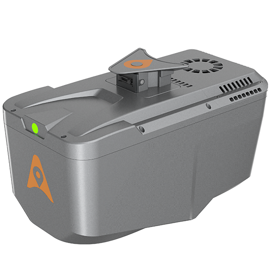
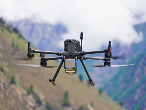
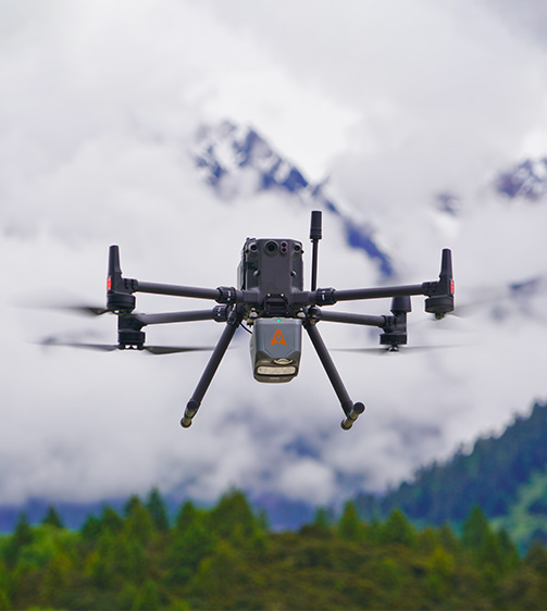
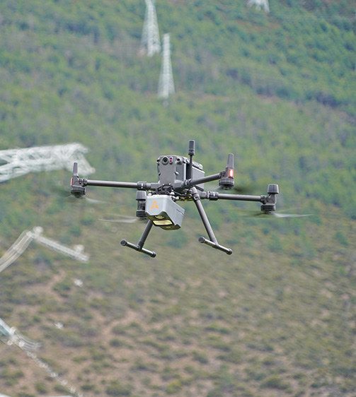
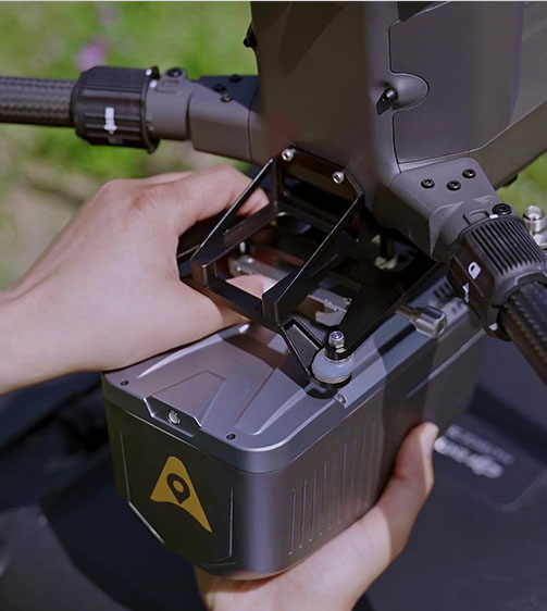
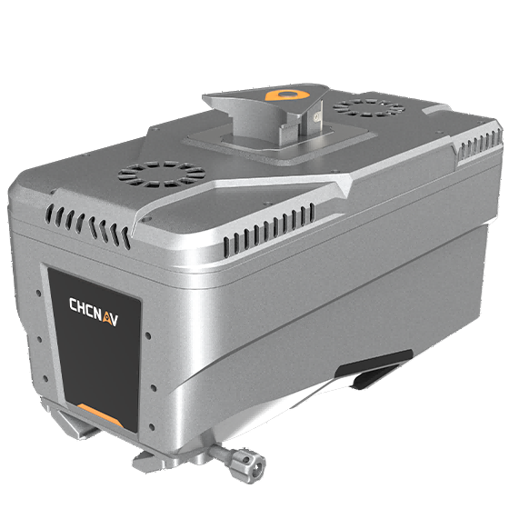
The AlphaAir 10 is a professional airborne LiDAR+RGB system designed to meet the demanding requirements of UAV LiDAR mapping and drone photogrammetry. This advanced solution integrates superior LiDAR technology with accurate GNSS positioning, IMU orientation, and a professional full frame orthophoto camera.

800 m
Range
500 Hz
IMU
45 MP
Resolution

Original CHCNAV unit·Authorized distributor

  • Dispatch in 3 to 7 working daysShips in 3–7 days · DDP / CIF / FOB
  • DDP / CIF / FOB to most countries
  • Local coordinate system preset before shipping
  • Datasheet (PDF, 3.5 MB)
Overview

About the AlphaAir 10

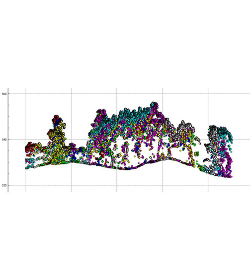
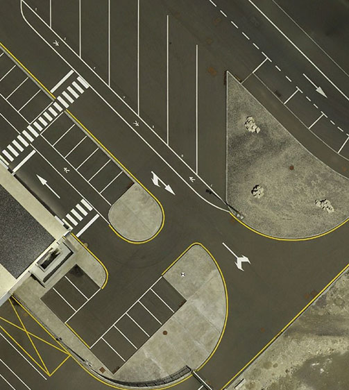
The AlphaAir 10 is a professional airborne LiDAR+RGB system designed to meet the demanding requirements of UAV LiDAR mapping and drone photogrammetry. This advanced solution integrates superior LiDAR technology with accurate GNSS positioning, IMU orientation, and a professional full frame orthophoto camera. Together with CHCNAV's point cloud and image fusion modeling software, the AA10 delivers survey-grade accuracy, efficiency, and cost-effectiveness in 3D data acquisition and processing.

Specifications

Technical data

Values from the CHCNAV datasheet. Ask us for the full sheet or a side by side with another model.

Download datasheet (PDF)

Laser Scanner

Range
800 m
Scanning rate
500.000 pulses/sec
Field of view
75°
Returns
Up to 8

Positioning

GNSS
Full GNSS
IMU
500 Hz
Precision max.
< 5 cm H / < 5 cm V

Imaging

Resolution
45 MP
Focal length
21 mm

Sensors

Camera
Optional external camera

Environmental

Operating
-20°C to +50°C
Protection rating
IP64

Physical

Weight
1,55 kg
Size
210 x 112 x 131 mm

Performances

Memory
512 GB x 2

Laser Scanner

Range - 800 m
Scanning rate - 500.000 pulses/sec
Field of view - 75°
Returns - Up to 8

Positioning

GNSS - Full GNSS
IMU - 500 Hz
Precision max. - < 5 cm H / < 5 cm V

Imaging

Resolution - 45 MP
Focal length - 21 mm

Sensors

Camera - Optional external camera

Environmental

Operating - -20°C to +50°C
Protection rating - IP64

Physical

Weight - 1,55 kg
Size - 210 x 112 x 131 mm

Performances

Memory - 512 GB x 2

Laser Scanner

Range - 1800 m
Scanning rate - 2.000.000 pulses/sec
Field of view - 75°
Returns - Up to 16

Connectivity

Wireless - Ethernet

Positioning

GNSS - Full constellations
IMU - 600 Hz
Precision max. - 1,5 cm at 150 m

Imaging

Resolution - 45 MP
Focal length - 21 mm/35 mm

Environmental

Operating - -20°C to +50°C
Protection rating - IP64

Physical

Weight - 2,5 kg
Size - 247 x 126 x 156 mm

Performances

Memory - 512 GB
Videos

See the AlphaAir 10 at work

1:02

Aa 10 LIDAR rgb scanner introduction

Product video · Official CHCNAV video

Downloads

Datasheets and manuals

Free PDFs for the AlphaAir 10. Need a manual in another language? Ask us and we will send it.

  • AlphaAir 10 datasheetEN · PDF · 3.5 MB EN Download
Related

Similar laser scanners and LiDAR

All laser scanners and LiDARView all
CHCNAV AlphaAir 15 Laser Scanner
CHCNAV

AlphaAir 15

Lightweight, high-performance airborne LiDAR system designed for large-scale operations where high-density data capture is…
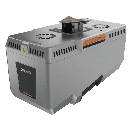
Range
1800 m
Scanning rate
2.000.000 pulses/sec
Field of view
75°
CHCNAV AlphaAir 15 Pro
CHCNAV

AlphaAir 15 Pro

Premium airborne LiDAR system for large-area geospatial data capture. With up to 3,200 m…
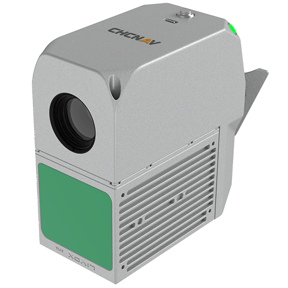
Scanning rate
2,400,000 pulses/sec
Field of view
75°
Returns
Up to 16
CHCNAV AlphaAir 6 Dual
CHCNAV

AlphaAir 6 Dual

The CHCNAV AlphaAir 6 Dual (AA6D) airborne LiDAR system is designed for aerial surveying…

Range
2100m @80%, 960m @10%
FOV
90°
Returns
Up to 16
Get a quote

Get a quote for AlphaAir 10

Tell us how many units and where they ship. An engineer replies with price, lead time and freight within 24 hours.

  • Reply within 24 hours
  • Original units with serial numbers
  • Local coordinate system preset

Reply within 24 h · Original units · Local datum preset

We reply within 24 hours. No spam.