

CHCNAV
AlphaUni 20 Laser Scanner
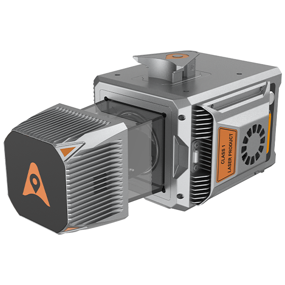
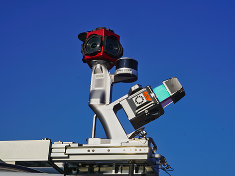
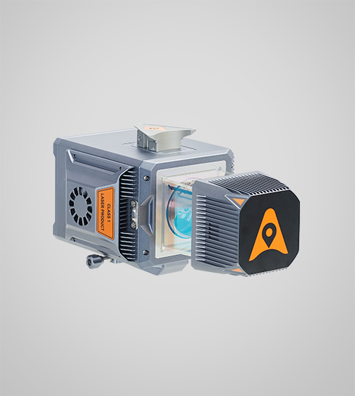
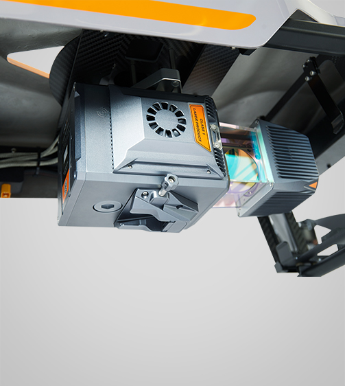
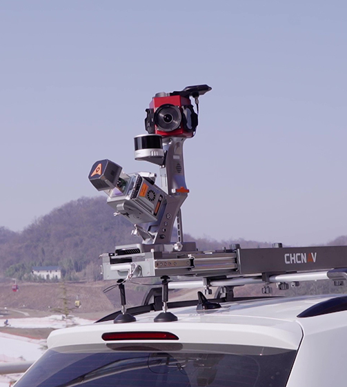
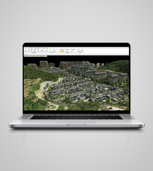
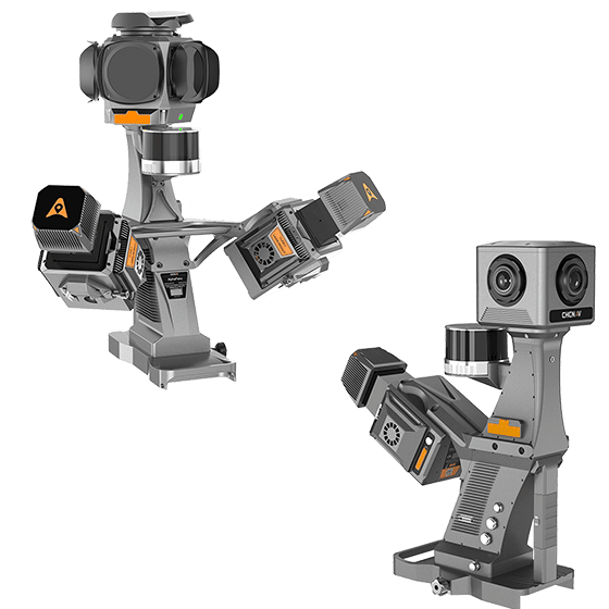
The AlphaUni 20 is a cost-effective, premium-class multi-platform mobile mapping system that embodies CHCNAV's advanced LiDAR technology. Designed for precise point cloud generation, it is ideal for applications including pavement assessment, highway maintenance, and asset management through vehicle-based surveying.
- 1500 m
- Range
- 600 Hz
- IMU
- IP64
- Protection rating
Original CHCNAV unit·Authorized distributor
Overview
About the AlphaUni 20
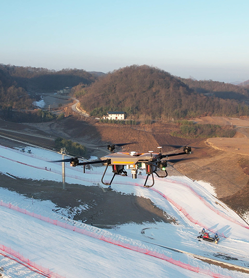
The AlphaUni 20 is a cost-effective, premium-class multi-platform mobile mapping system that embodies CHCNAV's advanced LiDAR technology. Designed for precise point cloud generation, it is ideal for applications including pavement assessment, highway maintenance, and asset management through vehicle-based surveying. In airborne applications, the AU20 increases survey efficiency with excellent vegetation penetration, long measurement range, and high data accuracy and density.
Specifications
Technical data
Values from the CHCNAV datasheet. Ask us for the full sheet or a side by side with another model.
Download datasheet (PDF)Laser Scanner
- Range
- 1500 m
- Scanning rate
- 2.000.000 pulses/sec
- Field of view
- 360°
- Returns
- Up to 16
Positioning
- GNSS
- Full constellations
- IMU
- 600 Hz
- Precision max.
- < 5 cm H / < 5 cm V
Environmental
- Operating
- -20°C to +50°C
- Protection rating
- IP64
Physical
- Weight
- 2,82 kg
- Size
- 162 x 141 x 161 mm
Performances
- Memory
- 512 GB
Imaging
- Resolution
- 45MP
- FOV
- 81.2*59.5 / 53.4*37.8
- Focal length
- 21 mm / 35 mm
Videos
See the AlphaUni 20 at work
0:58
LIDAR mapping introduction
Product video · Official CHCNAV video
Related
All laser scanners and LiDARView all
Similar laser scanners and LiDAR
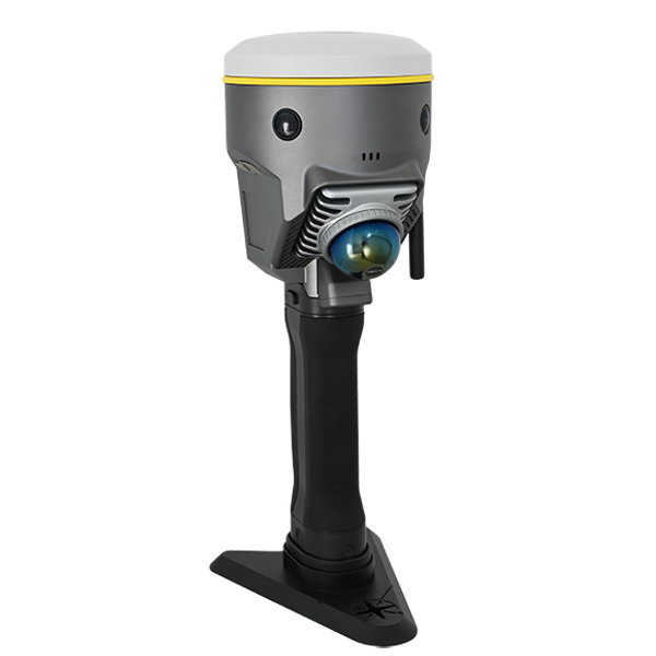
- Model
- DotLas Plus
- Series
- RobotSLAM
- Dimension
- 120x120x340 mm (LxWxH)
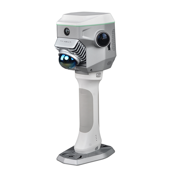
- Dimension
- 13 x 147 x 138 mm
- Net Weight
- 1.38 kg
- Camera (for GNSS)
- 2MP x1 downward
Get a quote
Get a quote for AlphaUni 20
Tell us how many units and where they ship. An engineer replies with price, lead time and freight within 24 hours.
- Reply within 24 hours
- Original units with serial numbers
- Local coordinate system preset
Reply within 24 h · Original units · Local datum preset