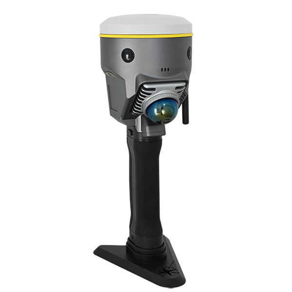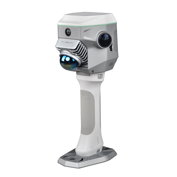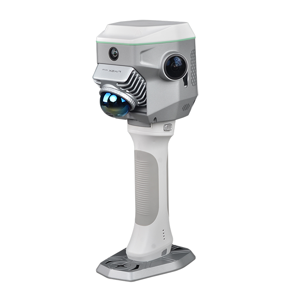
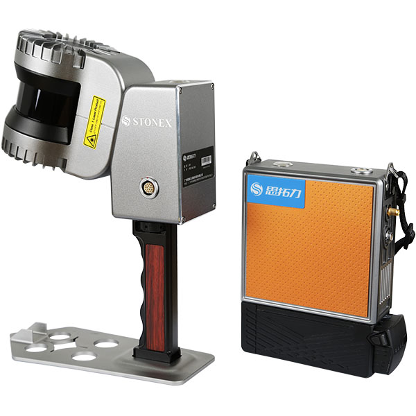
SOUTH GNSS RTK Hybrid Supreme DotLas Plus
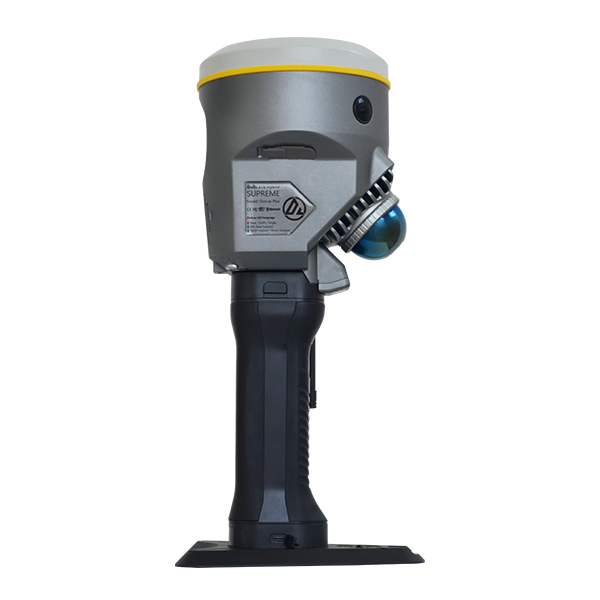
SOUTH GNSS RTK Hybrid Supreme DotLas Plus view 2
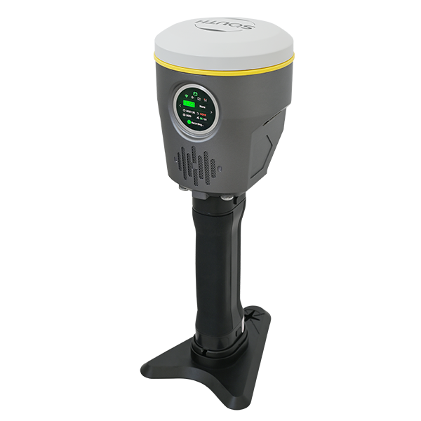
SOUTH GNSS RTK Hybrid Supreme DotLas Plus view 3
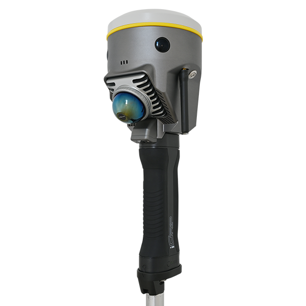
SOUTH GNSS RTK Hybrid Supreme DotLas Plus view 4
SOUTH GNSS RTK Hybrid Supreme DotLas Plus view 5
SOUTH

GNSS RTK Hybrid Supreme DotLas Plus

Ask us for price, lead time and freight to your country.

≥2 hours
Endurance
26 W
Power Consumption
-20 ~ 50 ℃
Working Temperature

Original SOUTH unit·Authorized distributor

  • Dispatch in 3 to 7 working daysShips in 3–7 days · DDP / CIF / FOB
  • DDP / CIF / FOB to most countries
  • Local coordinate system preset before shipping
  • Datasheet (PDF, 4.6 MB)
Specifications

Technical data

Values from the SOUTH datasheet. Ask us for the full sheet or a side by side with another model.

Download datasheet (PDF)

GENERAL

Model
DotLas Plus
Series
RobotSLAM
Functionality
SLAM-based RTK, RTK-based SLAM, and merged applications all-round
Type
GNSS RTK hybrid supreme
Component
built in with GNSS mainboard, SLAM scanner, camera lenses, temperature sensor, IMU, smartwatch-like LED screen, etc.

PHYSICAL

Dimension
120x120x340 mm (LxWxH)
Net Weight
1.4 kg (battery handgrip excluded); 1.8 kg (battery handgrip inclusive)
Camera (for SLAM)
horizontal and forward, pixel size 2.0 μm, FOV 210°x120°, resolution 10 MP in total (5 MP x2), imaging effect best up to 20 MP
Camera (for GNSS)
downward, resolution 2 MP x1, FOV 75°
Laser Scanner
Livox Mid-360 built in, 3D mixed solid-state sensor, 40 channels
Data Download
Type-C and Ethernet interfacing
LEMO Interfacing
LAN1 (7-pin) and LAN2 (9-pin), for debugging and RS232 data transfer, etc.
Temperature Sensor
built in, intelligent variable frequency temperature control, realtime monitors and regulates device temperature
IMU Module
built in for GNSS, and supports tilt survey option, Linux OS
LED Screen
smartwatch-like, round face, 1.39-inch, resolution 454x454
Wi-Fi Module
built in and serves as a Wi-Fi hotspot source, accessible to any smart device for configuration
Network Telecom
SIM card slot built in, Nano SIM
Radio Wireless
radio antenna interfacing SMA

ELECTRICAL

Power Supply
battery handgrip unit, model: iGrip, 50 Wh, 3500 mAh
Endurance
≥2 hours
Power Consumption
26 W
Charging
charging time 2 hours, type-C recharge, max. current 3 A
Input Voltage
nominal 14.4 V
Power Output
charging 30 W max. current 5 A max.

ENVIRONMENTAL

Working Temperature
-20 ~ 50 ℃
Storage Temperature
-20 ~ 60 ℃
Operating Humidity
80% non-condensing
Ingress Protection
IP64 rating according to IEC 60529

COMMUNICATION

Screen Operation
touch operation, for mode setting and status display
Wi-Fi Datalink
device may access to Wi-Fi for transmit and receive differential corrections
Web Interaction
Web UI management platform built in, accessible to device for relatime monitoring device status and device configuration via Wi-Fi and USB
Audio Messaging
iVoice smart audio technology on board, for smart status broadcasting and voice instructions
Voice Language
supports Chinese, English, Korean, Russian, Portuguese, Spanish, Turkish as default
Radio Datalink
RX radio module built in, working frequency 410-470 MHz, protocol Farlink, SOUTH, TrimTalk450S, ZHD, HUACE
Bluetooth
BT4.2 (BR/EDR+BLE) standard automatic Bluetooth pairing between device and controller by touch (NFC module on board
NFC Wireless
is needed for controller side)
WLAN
802.11b/g/n standard

DATA MANAGEMENT

Data Transfer
USB, FTP, and HTTP
Data Storage
SSD 64 GB (for GNSS) and 512 GB (forSLAM) built in, extendable to 1 TB max.
Data Format
Static: South STH, Rinex2, Rinex3.02, etc. Differential: RTCM3.0, RTCM3.2 input and output GPS output: NMEA0183, PJK plane coordinate, binary code Network module: VRS, FKP, MAC, N-Trip

SOFTWARE

GNSS Fieldwork
SurvStar
Fieldwork Partner
smartphone recommended (instead of regular data logger)
SLAM Fieldwork
SurvStar
SLAM Pre-proces
RobotSLAM Engine
Downloads

Datasheets and manuals

Free PDFs for the GNSS. Need a manual in another language? Ask us and we will send it.
  • GNSS datasheetEN · PDF · 4.6 MB EN Download
Related

Similar laser scanners and LiDAR

All laser scanners and LiDARView all
UniStrong H7 Handheld SLAM 3D Laser Scanner
UniStrong

H7

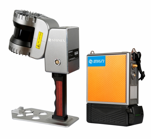
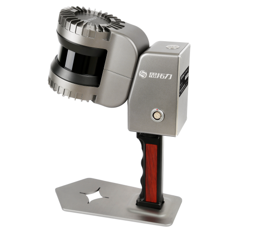
Portable handheld 3D laser scanner co-developed by Stonex and the European STONEX team. Powered…

Max Range
120m
Channels
32-line
Scan Rate
655,000 pts/s
Stonex H7 SLAM Handheld 3D Laser Scanner
Stonex

H7

SLAM Handheld 3D Laser Scanner

Sub-item
Description
Max. Range
120m
Channels
32-line
Stonex H8 Handheld 3D Laser Scanner
Stonex

H8

Handheld 3D Laser Scanner

Sub-item
Description
Max Range
120m
Scan Rate
655,000 points/sec
Get a quote

Get a quote for GNSS

Tell us how many units and where they ship. An engineer replies with price, lead time and freight within 24 hours.

  • Reply within 24 hours
  • Original units with serial numbers
  • Local coordinate system preset

Reply within 24 h · Original units · Local datum preset

We reply within 24 hours. No spam.