


CHCNAV
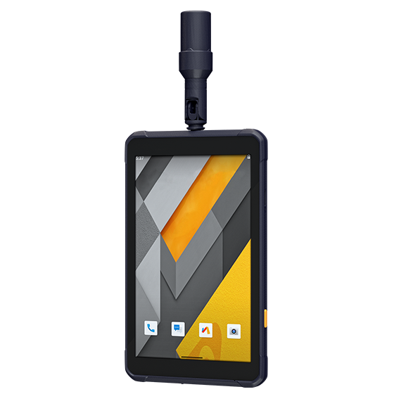
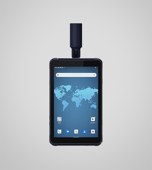
LT800H Data Controller
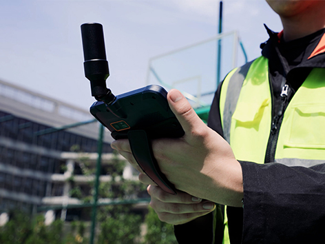
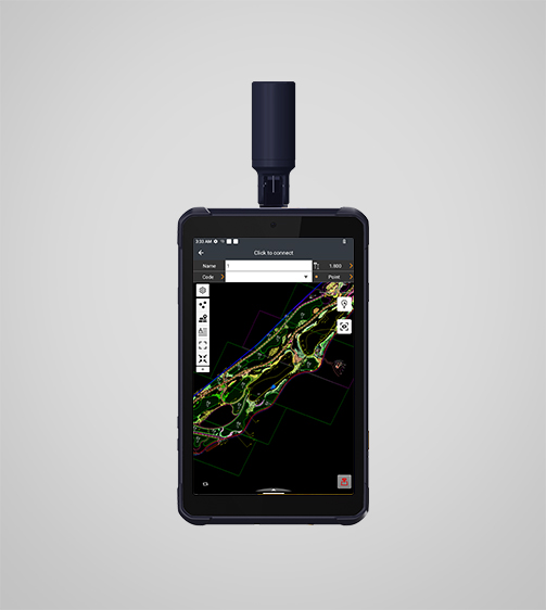
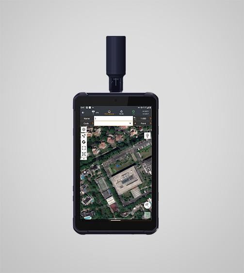
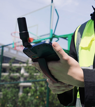
The LT800H RTK Android tablet increases the productivity of mobile workforces. Designed for centimeter-to-decimeter accuracy, it excels in precision GIS data collection, forensic mapping, construction layouts, environmental studies, and landscaping projects.
- IP67
- Protection rating
- 0,570 kg
- Weight
- ≤ 8 hours
- Battery life
Original CHCNAV unit·Authorized distributor
Overview
About the LT800H
The LT800H RTK Android tablet increases the productivity of mobile workforces. Designed for centimeter-to-decimeter accuracy, it excels in precision GIS data collection, forensic mapping, construction layouts, environmental studies, and landscaping projects. Its sunlight-readable 8.1" display ensures that GIS data maps and images are clear even in bright sunlight. Its rugged IP67-rated design withstands harsh conditions, making it the first choice for teams in challenging environments.
Specifications
Technical data
Values from the CHCNAV datasheet. Ask us for the full sheet or a side by side with another model.
Download datasheet (PDF)Display
- Screen size
- 8.1" touchscreen
- Screen resolution
- 1920 x 1200
Positioning
- GNSS
- Full GNSS
- Precision max.
- 2 cm H / 2 cm V
System
- Operating System
- Android
- Processor
- Octa-core 2.0 GHz
- Memory
- 8 GB SDRAM - 256 GB ROM
Connectivity
- Wireless
- Bluetooth, Wi-Fi, NFC
- Cellular
- 4G LTE
Sensors
- Camera
- Yes
Environmental
- Operating
- -20°C to +60°C
- Protection rating
- IP67
Physical
- Weight
- 0,570 kg
- Size
- 215.5 x 130 x 14.5 mm
- Battery life
- ≤ 8 hours
Display
- Screen size
- 8.1" touchscreen
- Screen resolution
- 1920 x 1200
Positioning
- GNSS
- Full GNSS
- Precision max.
- 2 cm H / 2 cm V
System
- Operating System
- Android
- Processor
- Octa-core 2.0 GHz
- Memory
- 8 GB SDRAM - 256 GB ROM
Connectivity
- Wireless
- Bluetooth, Wi-Fi, NFC
- Cellular
- 4G LTE
Sensors
- Camera
- Yes
Environmental
- Operating
- -20°C to +60°C
- Protection rating
- IP67
Physical
- Weight
- 0,570 kg
- Size
- 215.5 x 130 x 14.5 mm
- Battery life
- ≤ 8 hours
Display
- Screen size
- 8.1" touchscreen
- Screen resolution
- 1920 x 1200
Positioning
- GNSS
- GPS, GLONASS, Galileo, BeiDou
- Precision max.
- 2-5 m H
System
- Operating System
- Android
- Processor
- Octa-core 2.0 GHz
- Memory
- 8 GB SDRAM - 256 GB ROM
Connectivity
- Wireless
- Bluetooth, Wi-Fi, NFC
- Cellular
- 4G LTE
Sensors
- Camera
- Yes
Environmental
- Operating
- -20°C to +60°C
- Protection rating
- IP67
Physical
- Weight
- 0,550 kg
- Size
- 215.5 x 130 x 14.5 mm
- Battery life
- ≤ 10 hours
Videos
See the LT800H at work
1:17
Tablet GNSS RTK introduction
Product video · Official CHCNAV video
Downloads
Datasheets and manuals
Free PDFs for the LT800H. Need a manual in another language? Ask us and we will send it.
- LT800H datasheetEN · PDF · 1.5 MB EN Download
Related
All controllers and GISView all
Similar controllers and GIS
Get a quote
Get a quote for LT800H
Tell us how many units and where they ship. An engineer replies with price, lead time and freight within 24 hours.
- Reply within 24 hours
- Original units with serial numbers
- Local coordinate system preset
Reply within 24 h · Original units · Local datum preset