UAV and mobile mapping

19 UAV and mobile mapping models. Every unit is original and ships with your local coordinate system preset.

19models
3 to 7days to dispatch
Showing 1 to 9 of 9

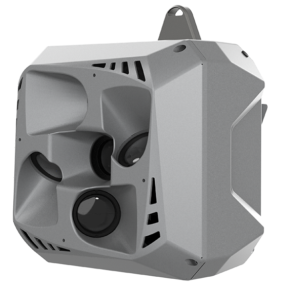
CHCNAV C30
CHCNAV

C30

Professional, high performance aerial oblique camera system featuring a lightweight design and exceptional image…

Resolution
26 MP x 5
Focal length
25 mm / 35 mm
Camera lenses
5
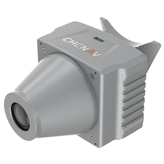
CHCNAV C4800
CHCNAV

C4800

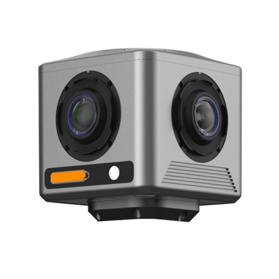
Compact industrial 360° camera optimized for flexible deployment, efficient integration, and professional mobile mapping…

Focal length
4.8 mm
Camera lenses
4
Capture interval
0.2 s minimum
CHCNAV C5
CHCNAV

C5

Aerial orthographic camera system that delivers superior image quality for photogrammetric applications and LiDAR…

Resolution
45 MP
Focal length
35 mm
Camera lenses
1
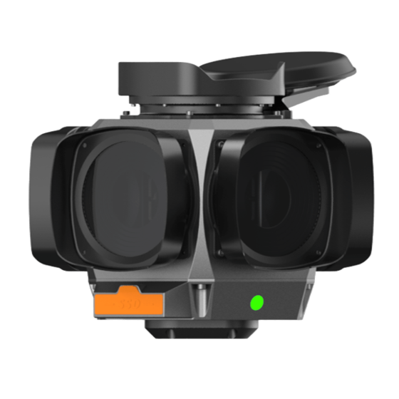
CHCNAV C7200
CHCNAV

C7200

The CHCNAV C7200 is high-resolution industrial 360° camera for applications requiring maximum image detail,…

Focal length
6.5 mm
Camera lenses
6
Capture interval
0.1 s minimum
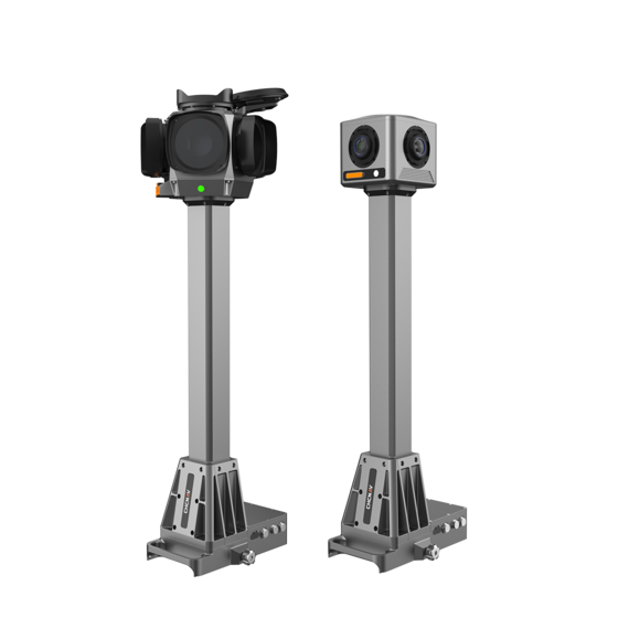
CHCNAV MP7
CHCNAV

MP7

Integrated mobile panoramic mapping system combining 360° imaging with high-precision positioning and orientation. Compatible…

Camera lenses
4 (C4800) | 6 (C7200)
Dimensions (C4800)
268 × 184 × 572 mm
Dimensions (C7200)
291 × 264 × 651 mm
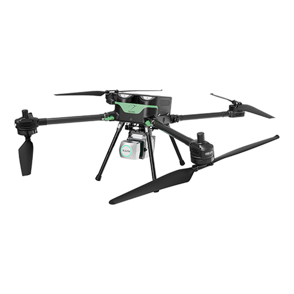
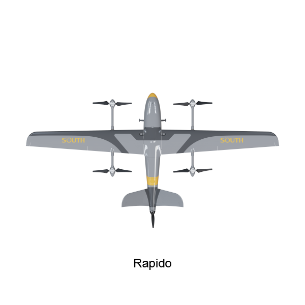
SOUTH UAV Fly2Map series
SOUTH

UAV Fly2Map

series

Max. Service Ceiling
4000 m ASL
Working Height
typical 60-1000 m
Cruising Speed
max. 12 m/s
SOUTH UAV Fly2Map Series - SF1200
SOUTH

UAV Fly2Map

Series - SF1200

Diagonal wheelbase
1.15 m(±0.01 m)
Maximum payload
4 kg
Max. climbing speed
5 m/s
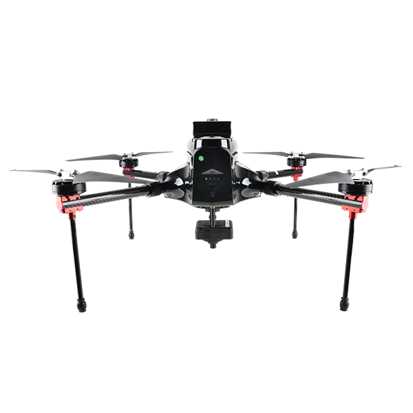
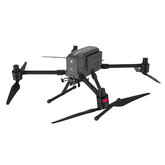
CHCNAV X500
CHCNAV

X500

Professional drone engineered for exceptional payload capacity and endurance. Equipped with advanced flight controls…

Payload capacity
5 kg max.
Type
Quadcopter
Camera
Yes

Not sure which model fits your job?

Tell us the work, the accuracy you need and your budget. An engineer replies with two or three options and prices within 24 hours.