
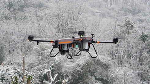
CHCNAV
C5
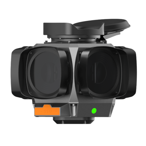
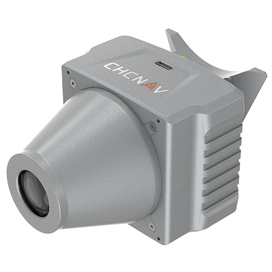
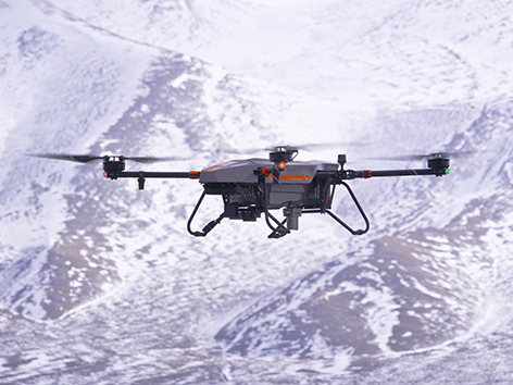
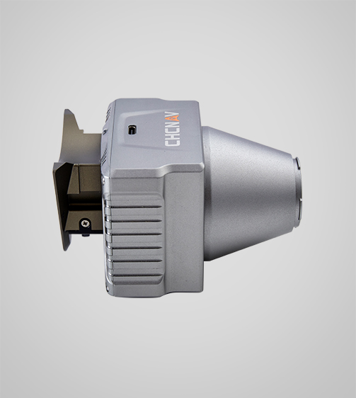
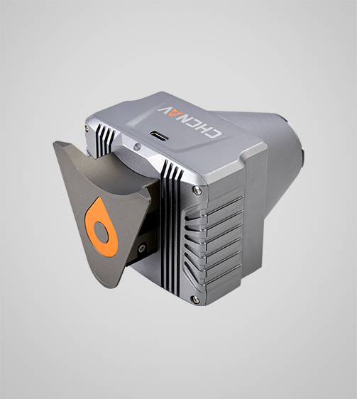
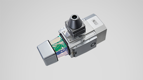
The CHCNAV C5 is an aerial orthographic camera system that delivers superior image quality for photogrammetric applications and LiDAR data enhancement. Featuring a full-frame, fixed-focus camera with a large sensor, the C5 system captures large areas in each shot, producing orthophotos with greater detail and…
- 45 MP
- Resolution
- 290 g
- Weight
- 35 mm
- Focal length
Original CHCNAV unit·Authorized distributor
Overview
About the C5
The CHCNAV C5 is an aerial orthographic camera system that delivers superior image quality for photogrammetric applications and LiDAR data enhancement. Featuring a full-frame, fixed-focus camera with a large sensor, the C5 system captures large areas in each shot, producing orthophotos with greater detail and accuracy. Its low distortion aerial survey lens significantly improves survey accuracy and ensures reliable results.
Specifications
Technical data
Values from the CHCNAV datasheet. Ask us for the full sheet or a side by side with another model.
Download datasheet (PDF)Imaging
- Resolution
- 45 MP
- Focal length
- 35 mm
- Camera lenses
- 1
- Capture interval
- 1 s minimum
Physical
- Weight
- 290 g
- Dimensions
- 75 x 63.5 x 102.5 mm
Performances
- Memory
- 256 GB Internal
Downloads
Datasheets and manuals
Free PDFs for the C5. Need a manual in another language? Ask us and we will send it.
- C5 datasheetEN · PDF · 1.6 MB EN Download
Related
All UAV and mobile mappingView all
Similar UAV and mobile mapping
UniStrong
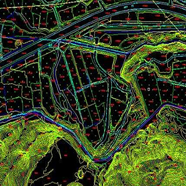
DLG Digital Line Graph
The Digital Line Graph (DLG) is a map format that provides convenient zooming, panning,…
- Data Format
- DWG, DXF, SHP, mdb
UniStrong
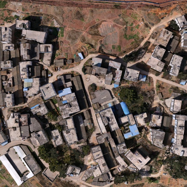
DOM Digital Orthophoto Map
Digital Orthophoto Map (DOM) refers to image data generated by performing pixel-by-pixel rectification on…
- Data Format
- TIF, JPG, IMG, PNG
UniStrong
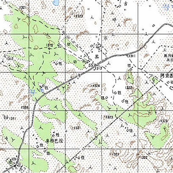
DRG Digital Raster Graphic
Digital Raster Graphic (DRG) is a digitized product of paper topographic maps. After scanning,…
Get a quote
Get a quote for C5
Tell us how many units and where they ship. An engineer replies with price, lead time and freight within 24 hours.
- Reply within 24 hours
- Original units with serial numbers
- Local coordinate system preset
Reply within 24 h · Original units · Local datum preset