
CHCNAV
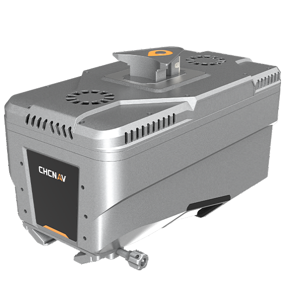
AlphaAir 15
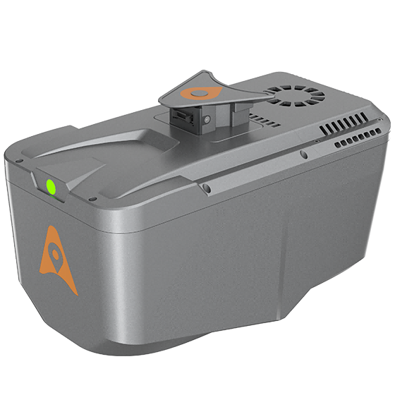
Lightweight, high-performance airborne LiDAR system designed for large-scale operations where high-density data capture is…
- Range
- 1800 m
- Scanning rate
- 2.000.000 pulses/sec
- Field of view
- 75°
Authorized distributor of original survey instruments·Dispatch in 3 to 7 working days·DDP / CIF / FOB
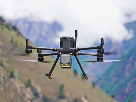
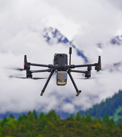
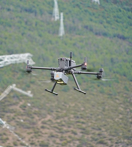
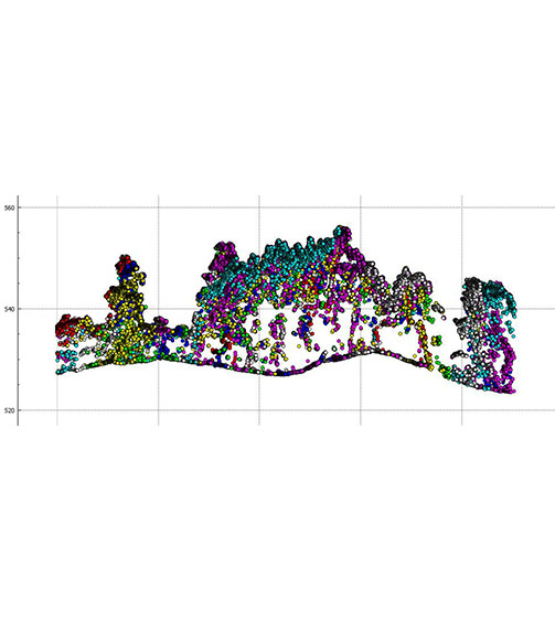
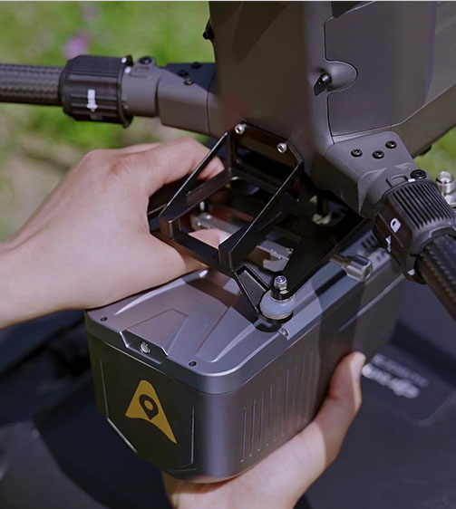
The AlphaAir 10 is a professional airborne LiDAR+RGB system designed to meet the demanding requirements of UAV LiDAR mapping and drone photogrammetry. This advanced solution integrates superior LiDAR technology with accurate GNSS positioning, IMU orientation, and a professional full frame orthophoto camera.
Original CHCNAV unit·Authorized distributor
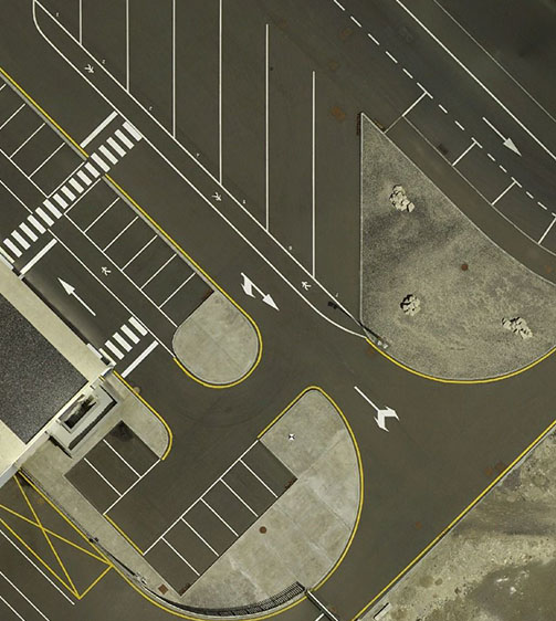
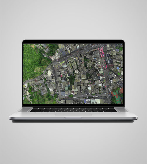
The AlphaAir 10 is a professional airborne LiDAR+RGB system designed to meet the demanding requirements of UAV LiDAR mapping and drone photogrammetry. This advanced solution integrates superior LiDAR technology with accurate GNSS positioning, IMU orientation, and a professional full frame orthophoto camera. Together with CHCNAV's point cloud and image fusion modeling software, the AA10 delivers survey-grade accuracy, efficiency, and cost-effectiveness in 3D data acquisition and processing.
Values from the CHCNAV datasheet. Ask us for the full sheet or a side by side with another model.
Download datasheet (PDF)Product video · Official CHCNAV video
Free PDFs for the AlphaAir 10. Need a manual in another language? Ask us and we will send it.
Lightweight, high-performance airborne LiDAR system designed for large-scale operations where high-density data capture is…
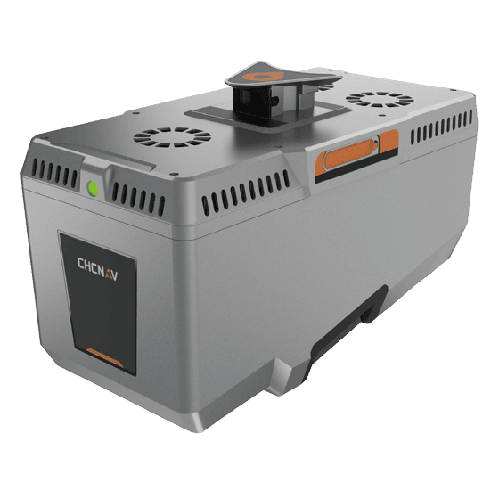
Premium airborne LiDAR system for large-area geospatial data capture. With up to 3,200 m…
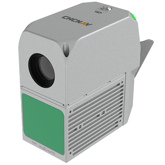
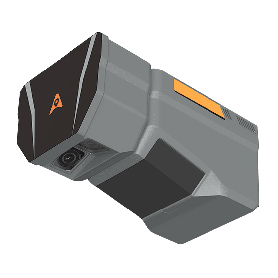
The CHCNAV AlphaAir 6 Dual (AA6D) airborne LiDAR system is designed for aerial surveying…
Tell us how many units and where they ship. An engineer replies with price, lead time and freight within 24 hours.
Reply within 24 h · Original units · Local datum preset