
UniStrong
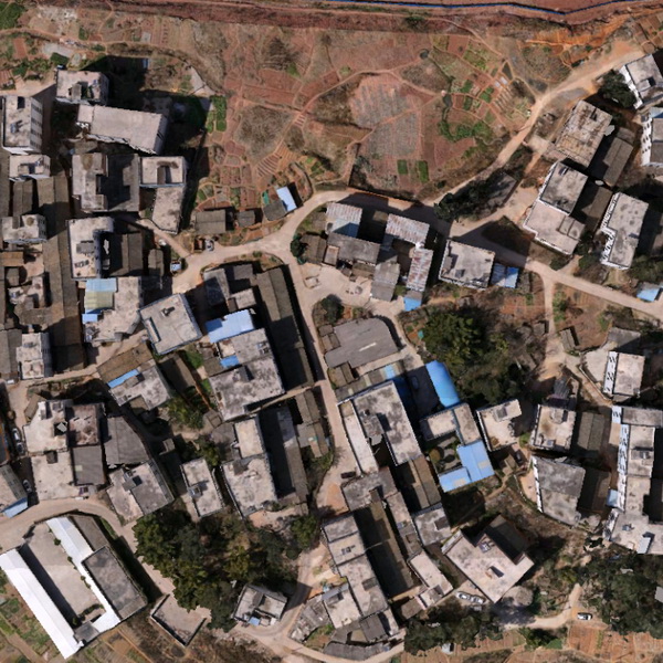
DOM Digital Orthophoto Map
Digital Orthophoto Map (DOM) refers to image data generated by performing pixel-by-pixel rectification on…
- Data Format
- TIF, JPG, IMG, PNG
Authorized distributor of original survey instruments·Dispatch in 3 to 7 working days·DDP / CIF / FOB
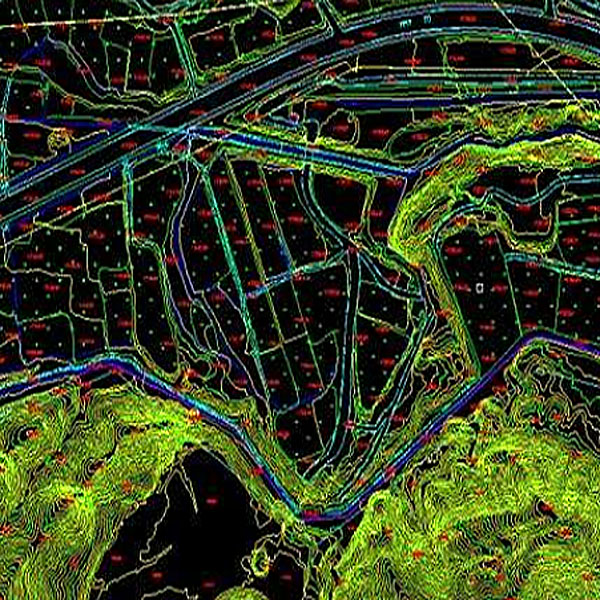
The Digital Line Graph (DLG) is a map format that provides convenient zooming, panning, querying, inspection, measurement, and overlay capabilities. With a compact data size and easy layering, it allows for the rapid generation of thematic maps and is also referred to as Digital Thematic…
Original UniStrong unit·Authorized distributor
The Digital Line Graph (DLG) is a map format that provides convenient zooming, panning, querying, inspection, measurement, and overlay capabilities. With a compact data size and easy layering, it allows for the rapid generation of thematic maps and is also referred to as Digital Thematic Information (DTI). This data satisfies various spatial analysis requirements in geographic information systems (GIS) and is regarded as intelligent data. Data can be flexibly selected and displayed, as well as overlaid with other geospatial data products to facilitate analysis and decision-making. Technical characteristics of DLG include: geographic content, map sheet partitioning, projection, accuracy, and coordinate system consistent with topographic maps of the same scale. Graphic output is in vector format, ensuring distortion-free scaling at any level.
Digital Line Graph (DLG) is a map format that provides greater convenience for zooming, panning, querying, checking, measuring, and overlaying. With a small data volume and easy layer management, it can rapidly generate thematic maps, and is thus also known as Digital Thematic Information (DTI). This data meets various spatial analysis requirements of Geographic Information Systems (GIS) and is regarded as intelligent data. It allows arbitrary data selection and display, and can be overlaid with other geospatial products to facilitate analysis and decision-making. The technical characteristics of Digital Line Graphs (DLG) include: geographic content, sheet partitioning, map projection, accuracy, and coordinate systems that are consistent with topographic maps of the same scale. Graphic output is in vector format, remaining distortion-free at any zoom level.
DLG is a vector dataset containing core topographic features (including settlements, transportation, hydrography, independent landmarks, pipelines, boundaries, etc.). It stores various features in categorized layers while preserving spatial relationships and associated attribute information between features. Primary acquisition methods include plane table surveying, full-field digital surveying, GPS surveying, map digitization, and photogrammetry. DLG satisfies various spatial analysis requirements of Geographic Information Systems (GIS) and is regarded as intelligent data. It allows arbitrary data selection and display, and can be overlaid with other products to facilitate analysis and decision-making.
● DLG combines map geometric precision with image characteristics, offering high accuracy, rich information, intuitive realism, and a short production cycle. ● DLG features high informativeness, timeliness, intuitiveness, continuity (continuous reflection over specific historical periods), temporality, and currency. ● DLG provides a detailed representation of the content and spatial relationships among various surface features.
Values from the UniStrong datasheet. Ask us for the full sheet or a side by side with another model.
Digital Orthophoto Map (DOM) refers to image data generated by performing pixel-by-pixel rectification on…
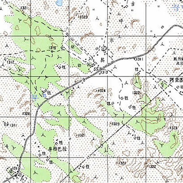
Digital Raster Graphic (DRG) is a digitized product of paper topographic maps. After scanning,…
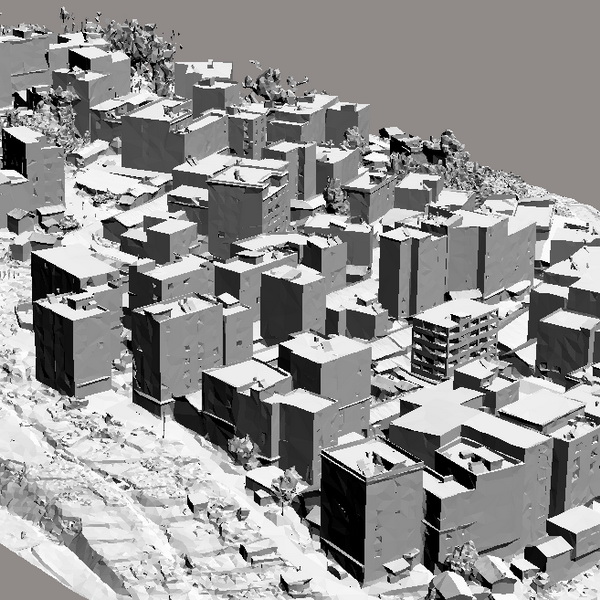
A Digital Elevation Model (DEM) is a dataset of regular grid points with plane…
Tell us how many units and where they ship. An engineer replies with price, lead time and freight within 24 hours.
Reply within 24 h · Original units · Local datum preset