
KOLIDA
KOOL Laser Scanner
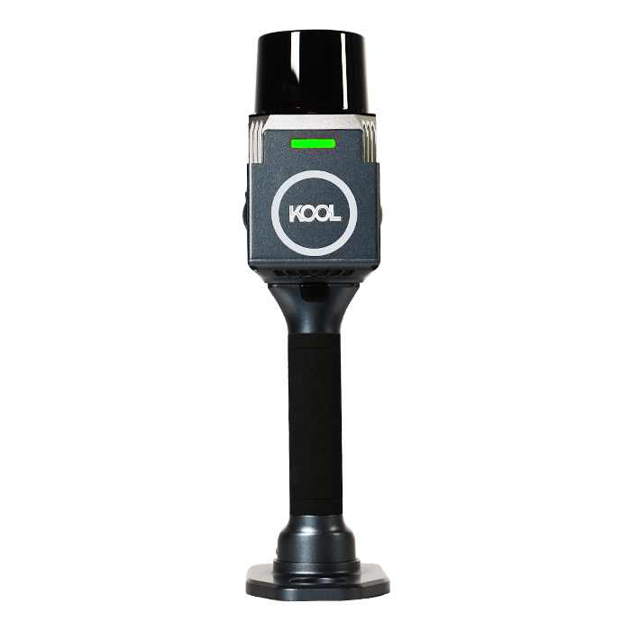
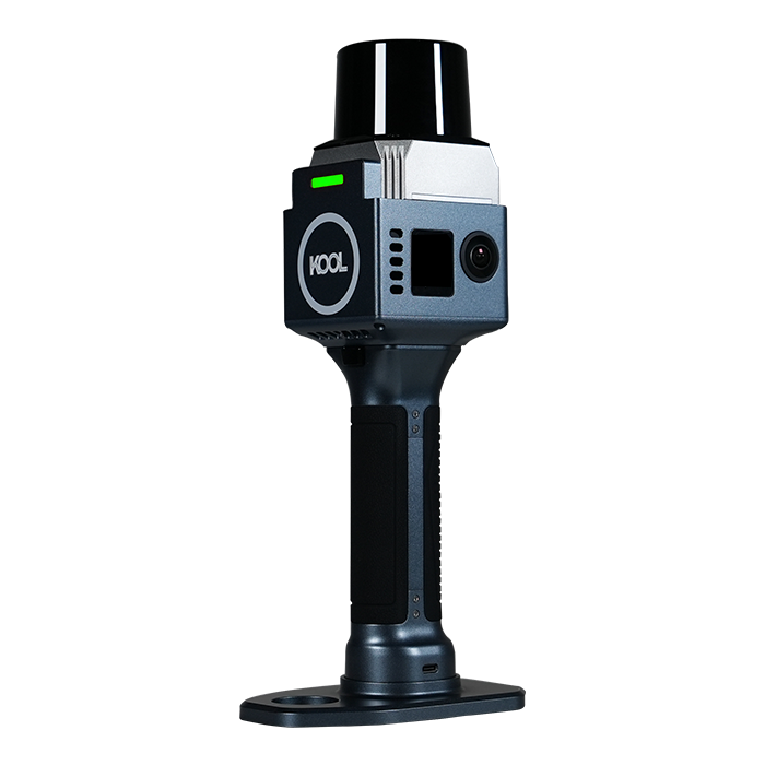
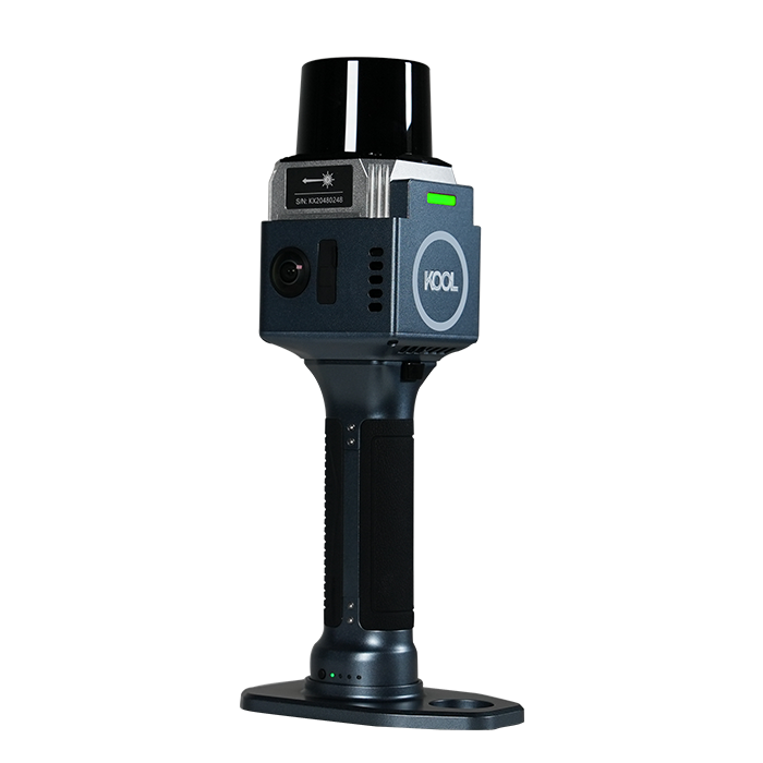
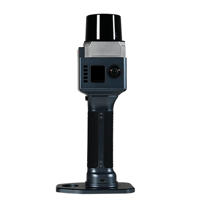
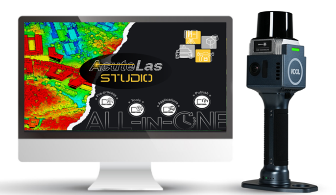
The KOOL is a highly efficient and cost-effective handheld 3D LiDAR scanner
Original KOLIDA unit·Authorized distributor
Overview
About the KOOL Laser Scanner
- 01
Ultra-Portable Weighs only 1.12 kg, extra portable
- 02
Long-Range Scan Scanning range is up to 100 meters
- 03
Wide Field of View 360° (H)x 130 M optimized Field of View
- 04
Precision and Endurance 1 cm Relative accuracy, 150 mins working time
Vivid Colorization, Detail-rich Deliverables
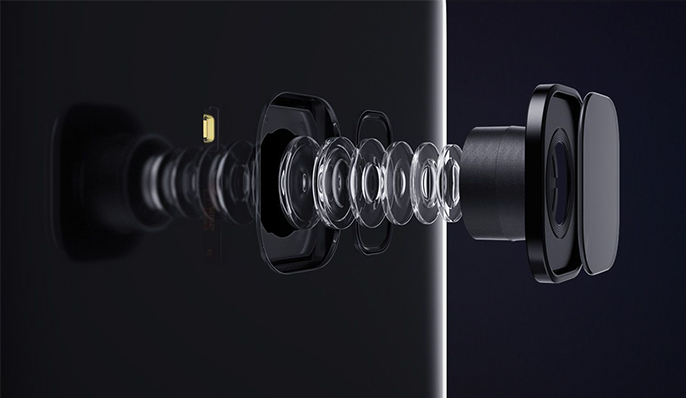
Equipped with dual 12MP cameras, KOOL captures high-quality image data with rich textures and natural colors. Advanced colorization algorithms accurately fuse image data with point cloud, delivering realistic colorized point clouds with fine details.
INS + SLAM Fusion for Reliable Mapping
With a high-precision IMU with 0.5°/h bias instability built-in, the KOOL can accurately track motion in feature-poor environments such as corridors and multi-level staircases and ensure accurate and stable scanning result.
Field Work Control App:
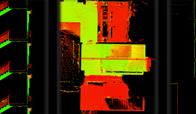
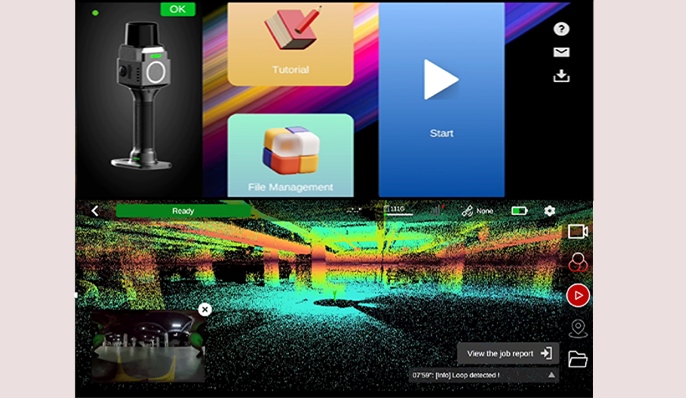
MAP STAR The mobile Android app supports collection control, file management, enables real-time viewing of panoramic imagery and true-color point cloud and firmware upgrades, etc. • Users can switch between RGB, Intensity, and Elevation modes to verify scan quality and completeness directly in the field. • Dynamic trajectory tracking with real-time survey-quality visualization • Tutorial guide is available inside App
Pre-Processing Software: AcuteLas Studio
The software optimizes point cloud quality through denoising, filtering, and RTK/GCP registration. It supports colorized point cloud, mesh, 3DGS, and CAD outputs, with built-in tools for measurement, volume calculation, etc. AcuteLas Studio can process data captured from different source: SLAM scanner, Terrestrial scanner, Mobile LiDAR Scanner. One click, full automation.
From Point Cloud to Drawing: CAD Builder
CAD Builder is to streamline the drafting process and quickly create architectural drawings. • Users can directly operate on point cloud data without converting it into RCP or MESH formats beforehand. • Users can draw directly on slices without repeatedly exporting them to PNG or DXF files. • The software automatically detects rooms, converts them into editable vector graphics, and enables one-click extraction of plan and elevation vectors. • one-click alignment of plan, elevation, and section views, alongside flexible slicing and dynamic adjustment. • Equipped with a full set of drafting tools, and supports exporting drawings directly to DWG and PDF formats.
Related
All laser scanners and LiDARView all
Similar laser scanners and LiDAR
Get a quote
Get a quote for KOOL Laser Scanner
Tell us how many units and where they ship. An engineer replies with price, lead time and freight within 24 hours.
- Reply within 24 hours
- Original units with serial numbers
- Local coordinate system preset
Reply within 24 h · Original units · Local datum preset